This stunning area offers a unique blend of rugged natural beauty, maritime culture, and warm hospitality. The Region encompasses four provinces: Nova Scotia, Newfoundland & Labrador, New Brunswick, and Prince Edward Island, and are collectively known as the Maritimes. Each of the provinces has its own character, but they share a deep connection to the sea, Celtic and Acadian heritage, and some of the most dramatic coastal scenery in North America.
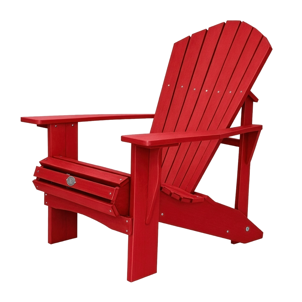
Adirondack Chairs – Around 10-years ago Parks Canada introduced pairs of red wooden deckchairs, known as Adirondack chairs, to many of their national parks. It was meant to connect Canadians with nature at the country’s most unique and treasured places, encouraging visitors to pause and enjoy a specific view. It was very successful and adopted by many other scenic locations, outside National Parks, in some cases with Adirondack chairs in other vibrant colours. Look out for some of our photos featuring these chairs!
Our 4-week road trip, which includes 4 ferry crossings (one overnight), starts in Halifax.
Halifax, Nova Scotia
Halifax is Nova Scotia’s vibrant capital city, beautifully situated on one of the world’s largest natural harbours. This historic maritime city blends colonial charm with modern culture, offering stunning waterfront views, rich seafaring heritage, and access to the dramatic Atlantic coast.
Here are some highlights of the time we spent in Halifax:
The Halifax Waterfront is a 2.5 mile boardwalk and harbour-front district stretching along Halifax Harbour, one of the world’s largest natural harbours. It is ice-free all year.
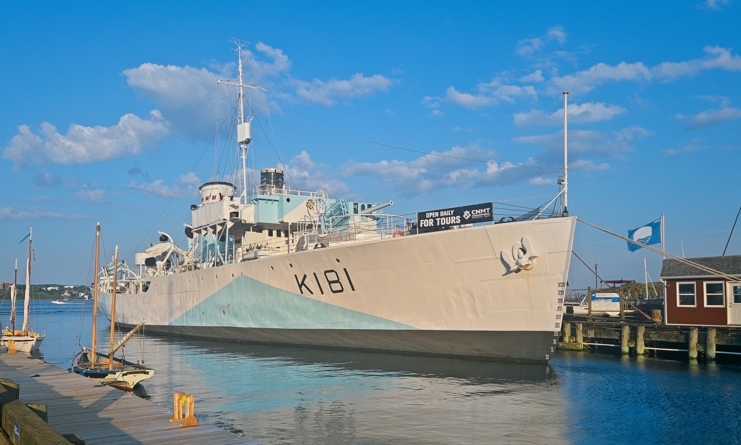 HMCS Sackville is recognised as the world’s last surviving Flower-class corvette and serves as Canada’s official Naval Memorial. The Tom Hanks film ‘Greyhound’ features a fictional Canadian corvette named HMCS Dodge. To make the CGI ship look completely authentic, production artists took detailed 3D scans of HMCS Sackville’s exterior. This digital recreation was then animated into the film’s North Atlantic convoy battle sequences.
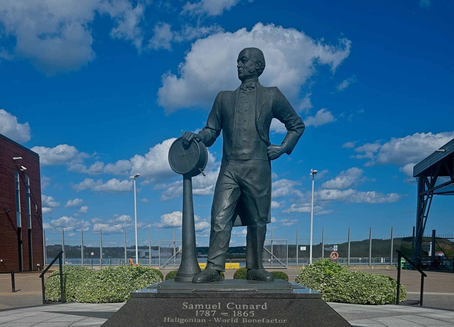 Samuel Cunard was born in Halifax in 1787. Chief among his career successes was shipping. He began with mail delivery, which evolved into steamship building – first for a local ferry company and eventually into transatlantic vessels. In 1840, he founded the British and North American Royal Mail Steam-Packet Company. Overtime, this became the Cunard Line. This ten foot bronze sculpture was created by Peter Bustin in 2006, and was appropriately placed along the wharfs where Cunard’s fleet of ships once docked and where the current Halifax cruise terminal is situated.
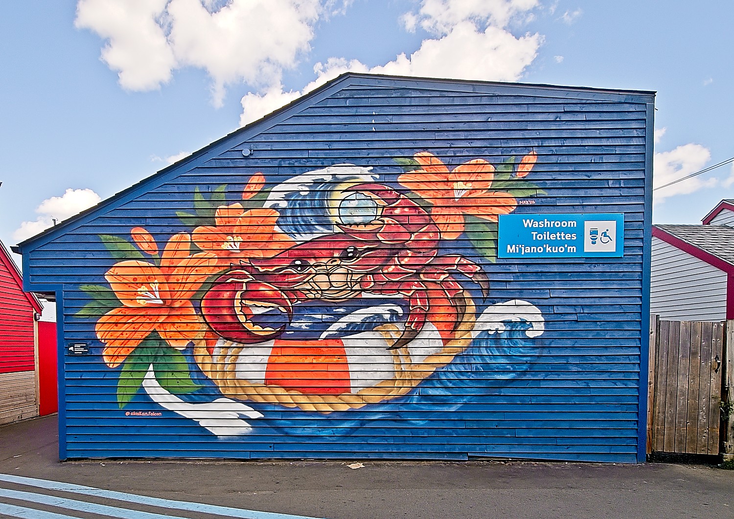 Every year local art students produce new street art throughout the waterfront area, as part of their college work
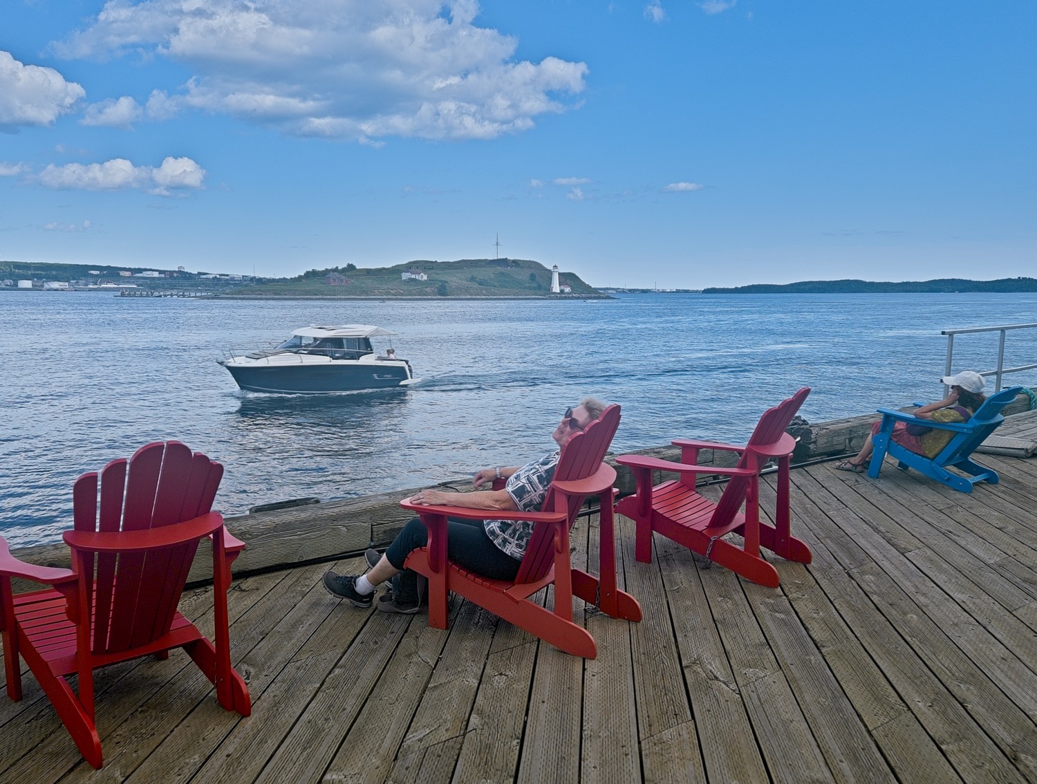 It’s hard work being on holiday! Charlotte enjoying a snooze in one of the many Adirondack chairs along the water’s edge.
 The Nova Scotian’s idea of food, is at times, odd!
Harbourside Walking & Food Tour
The best way to get to know the waterfront area and to better understand the local cuisine is to spend a couple of hours walking and eating around Halifax harbour. We enjoyed local delights like fresh oysters, creamy seafood chowder, Donair, and a classic lobster roll, all finished off with an unusual ice cream! We visited restaurants as well as sampled street food.
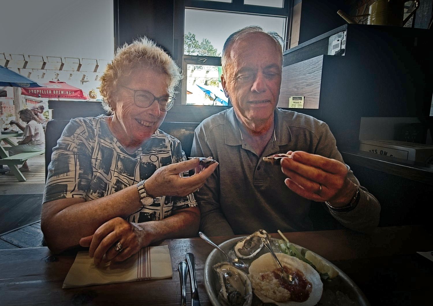 Neither of us had ever eaten Oysters, so when presented with a menu of over 20 different varieties, we were grateful that our guide helped us choose and showed us how to eat them. We loved them.
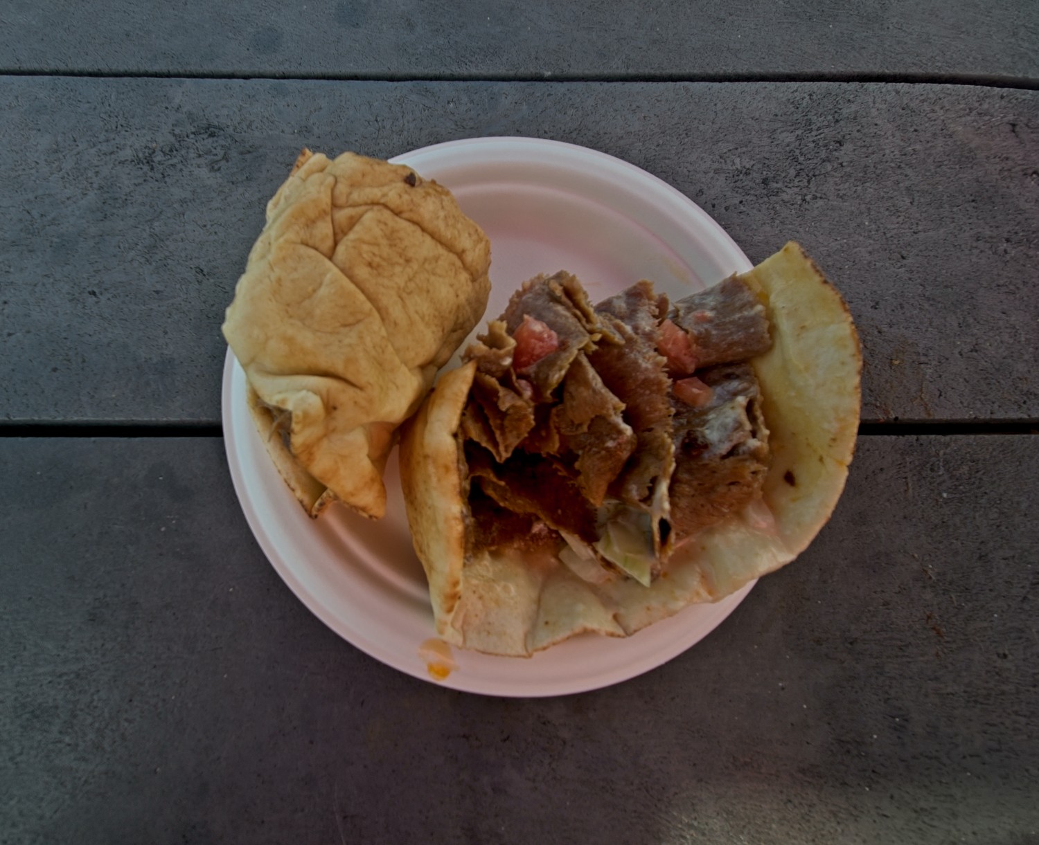 The Donair is a Canadian variation of the Döner Kebab, popularised in Halifax. It features heavily spiced ground beef shaved off a rotisserie and crisped on a flat-top grill, wrapped in a soft Lebanese Pita and garnished strictly with chopped onions, diced tomatoes, and a signature sweet and tangy condensed milk sauce. Definitely not one for the weight watchers!
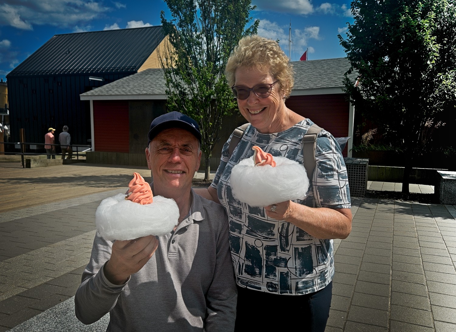 Our dessert was a Fog Cone, a traditional ice cream cone, with a thick ring of ‘fog’, otherwise known as candy floss.
Harbour Hopper Tour
A narrated guided tour of Halifax from the land and sea! The aluminium hulled amphibious vehicle used on our Hopper tour, was built in 1963 by the US for the Vietnam war as a LARC-V (Lighter, Amphibious Resupply, Cargo) military vehicle. It was used to transport supplies and troops from ship to shore.
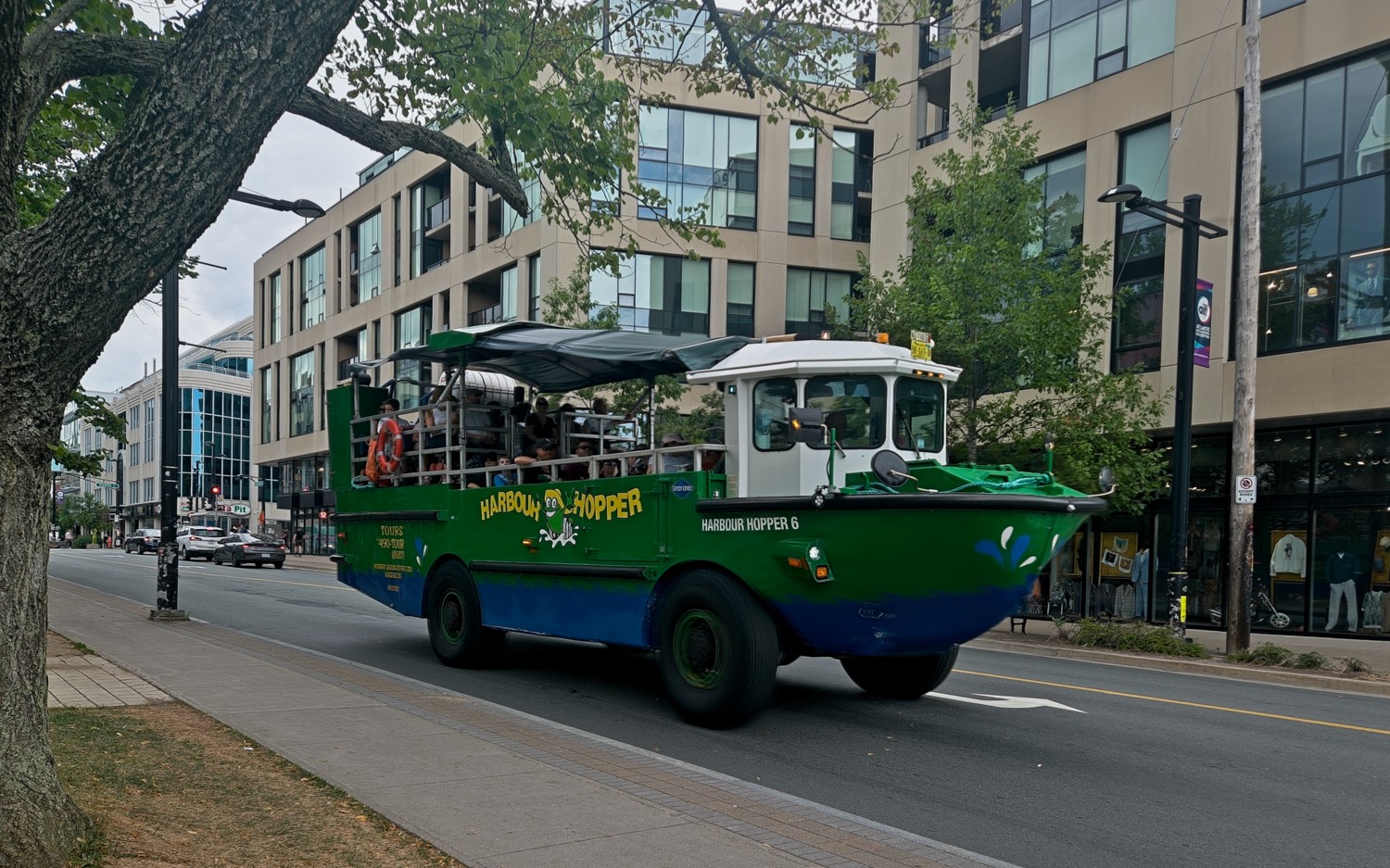 A Hopper driving around the city
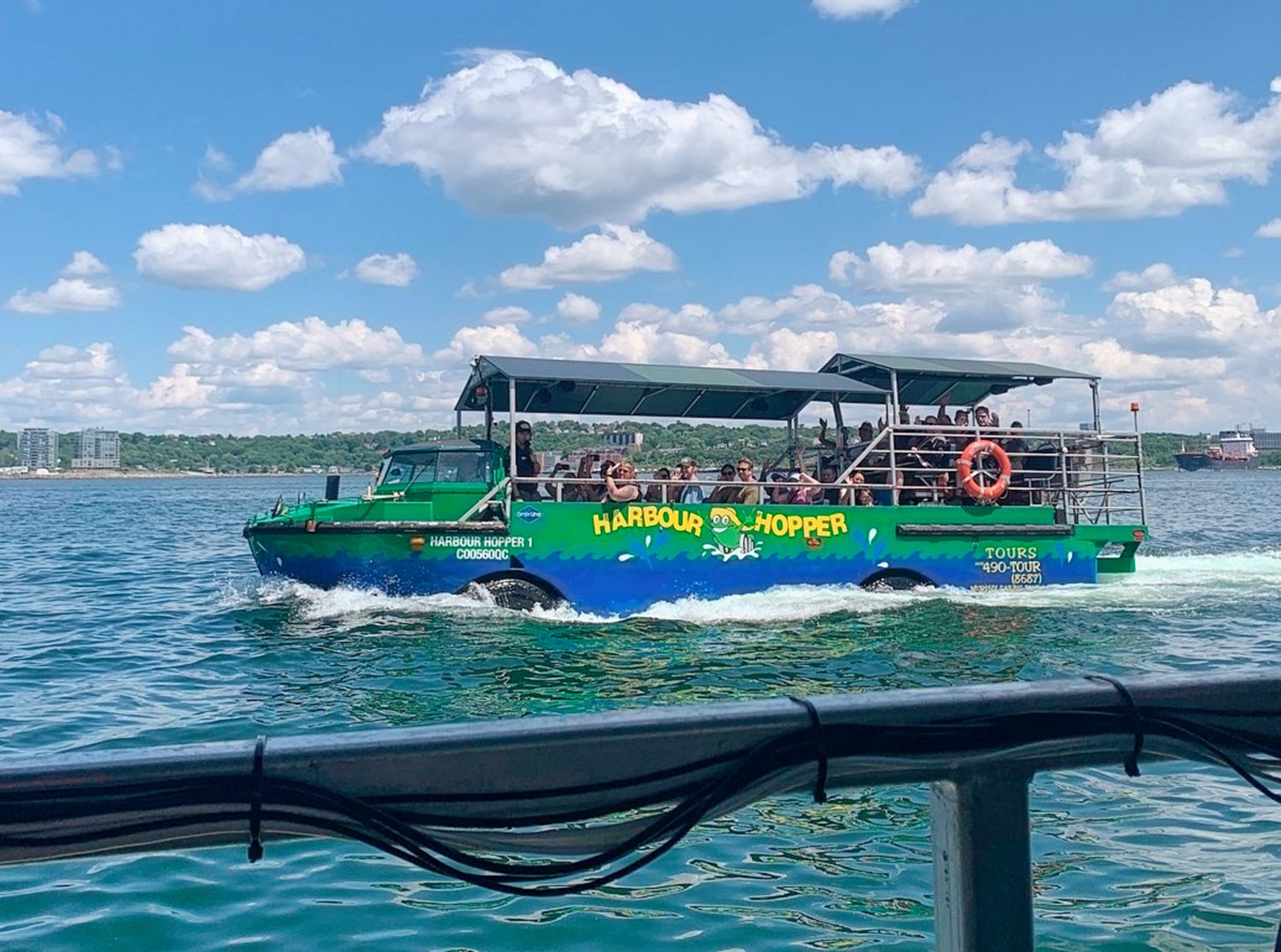 Another Hopper passing by – the driver is now a Captain!
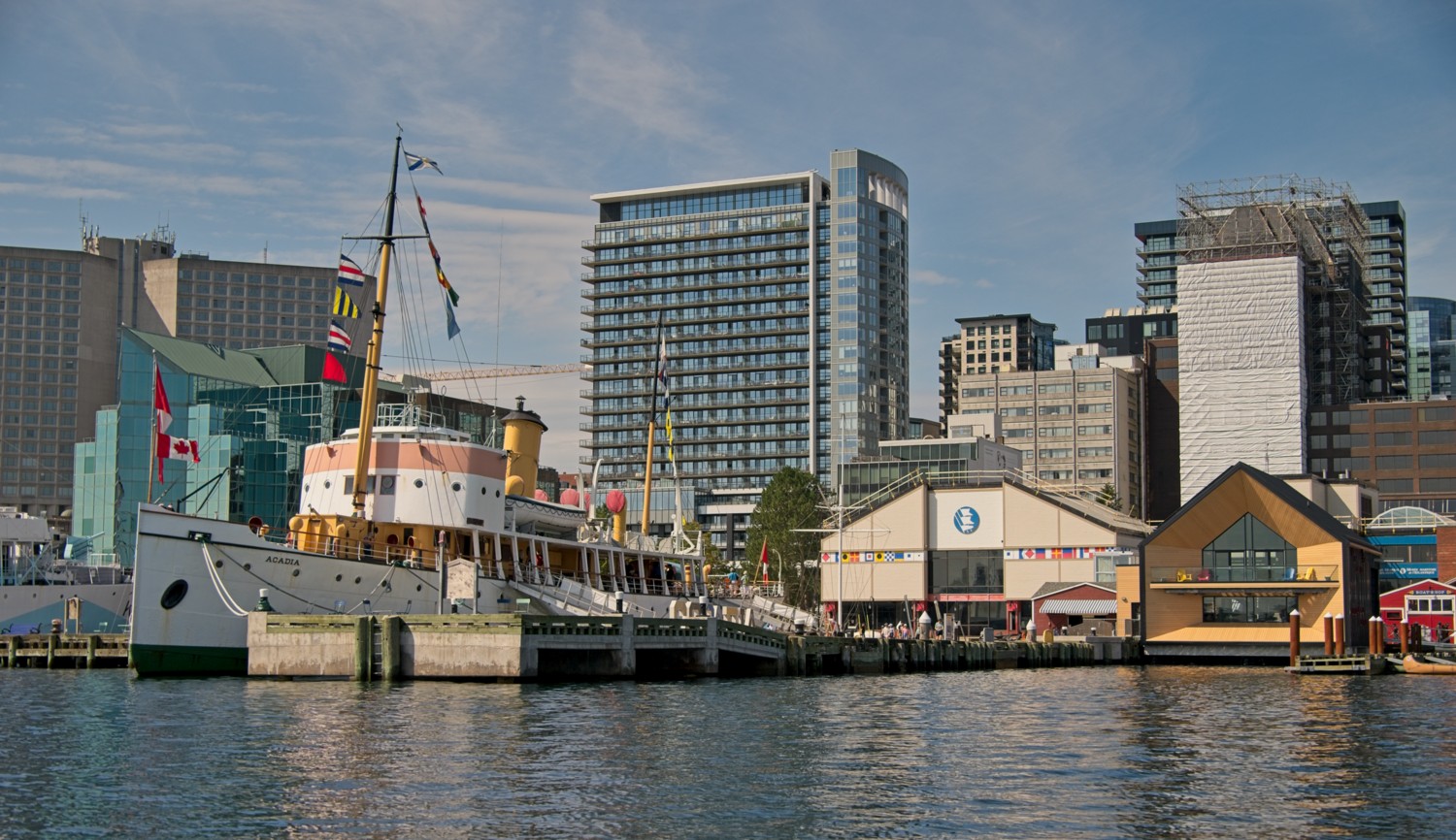 View from the Hopper of the Maritime Museum and CSS Acadia, a former hydrographic and oceanographic research ship launched in 1913.
Public Gardens
The Halifax Public Gardens is one of the oldest formal Victorian gardens in North America. Created in 1867, the gardens were laid out in the ornate Victorian style popular at the time, featuring formal flower beds, winding paths, a bandstand, fountains, ponds, and statuary.
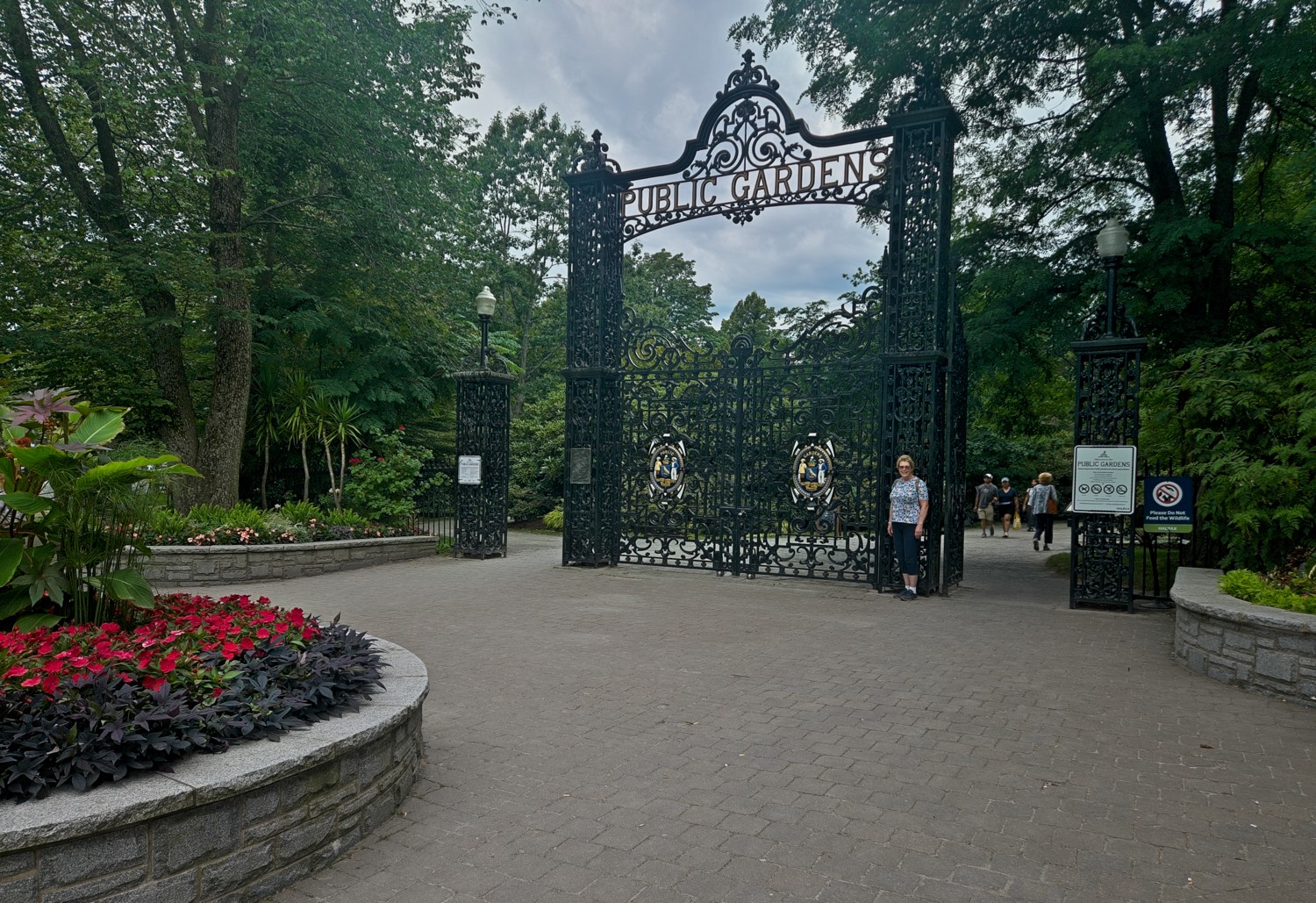 The main gates to the garden are only opened when members of the Royal family visit. Charlotte is seen here waiting for someone to arrive with the keys!
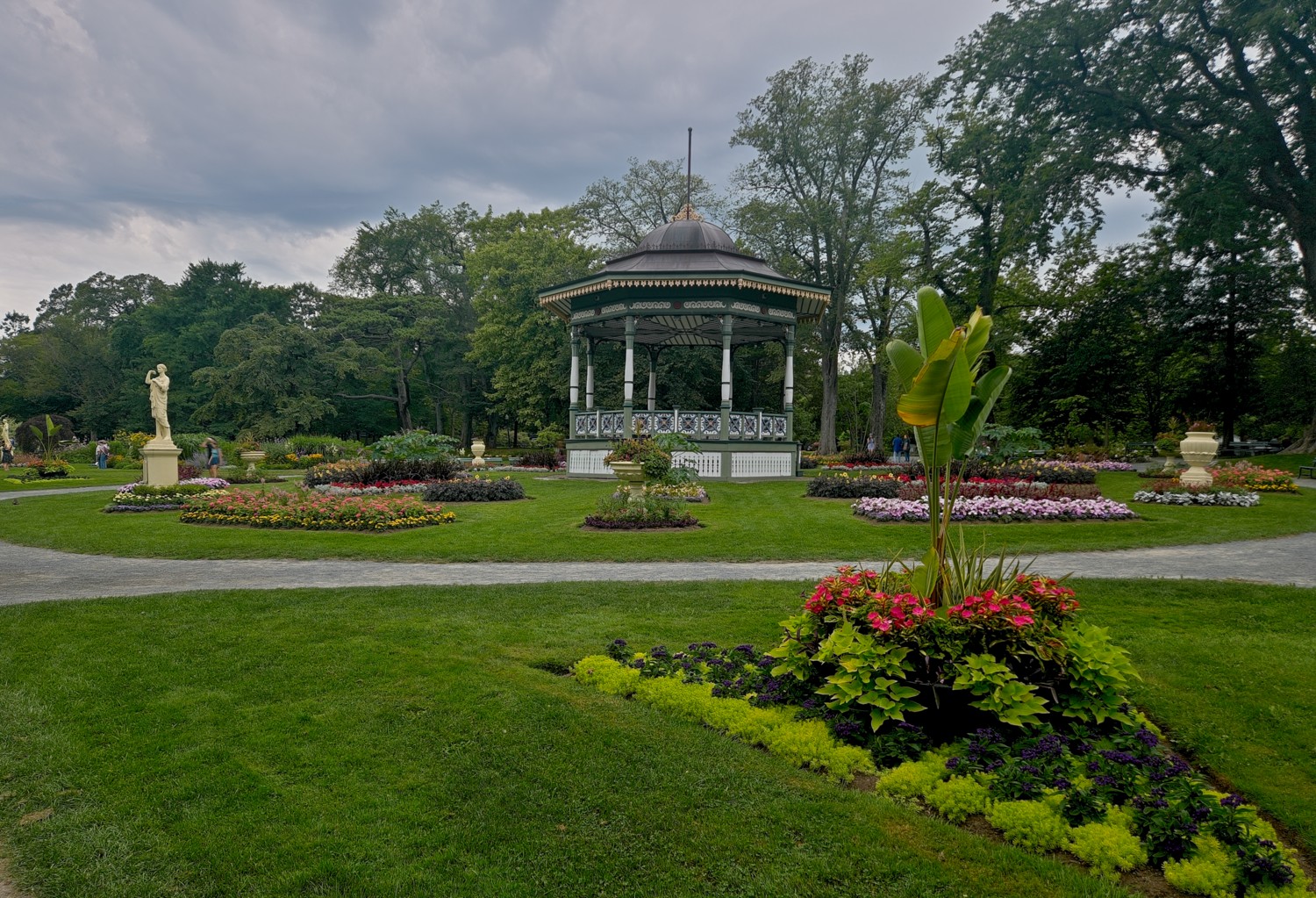 The iconic gazebo-style bandstand, still a centre piece today, was built in 1887 to mark Queen Victoria’s Golden Jubilee.
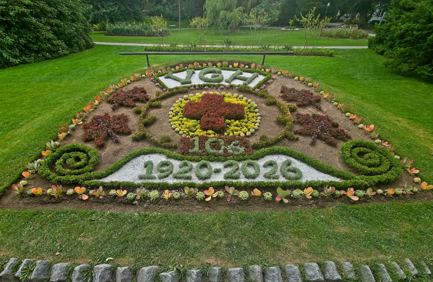 Victoria General School of Nursing 106th Anniversary
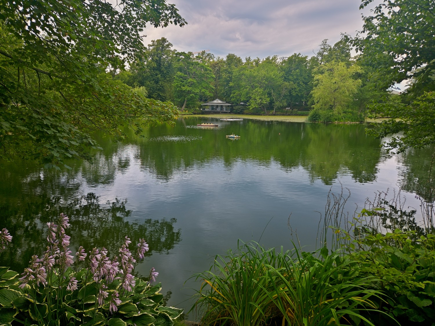 The small lake has models of the HMCS Sackville and Titanic, in recognition of the help provided by boats from Halifax during the rescue.
Citadel
The Halifax Citadel, also known as Fort George, is a historic star-shaped hilltop fort located in the heart of the city. First established in 1749 to protect the British settlement from attack, the present-day stone fortress is the fourth version built on the site and dates back to the mid-19th century. Today, this National Historic Site serves as a major tourist destination where visitors can step back in time with costumed re-enactors, listen to the daily noon gun firing, and enjoy panoramic views of the city and its bustling harbour.
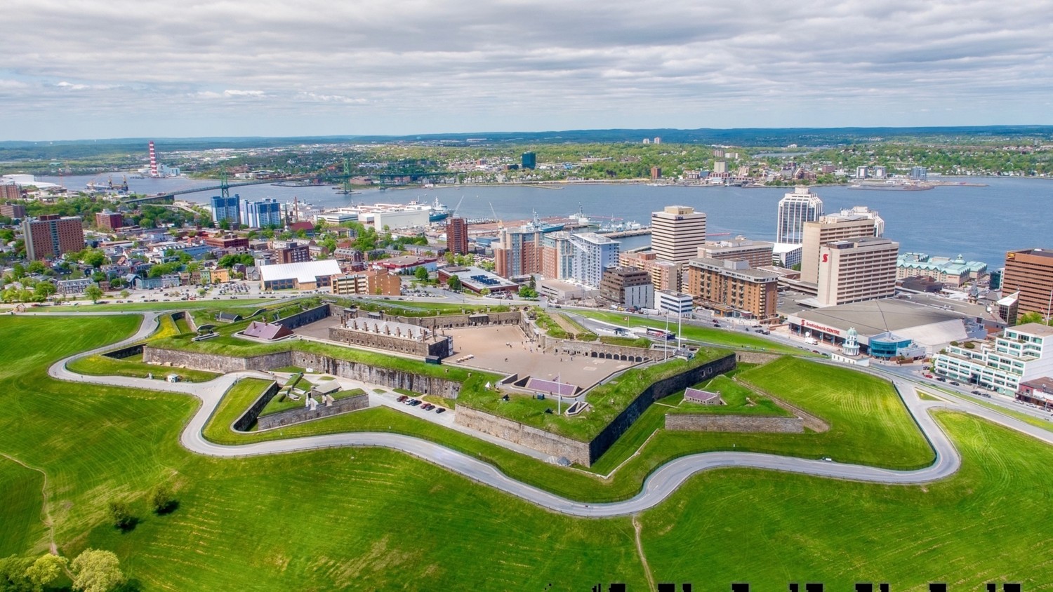 This aerial stock photo shows the location and size of the Citadel
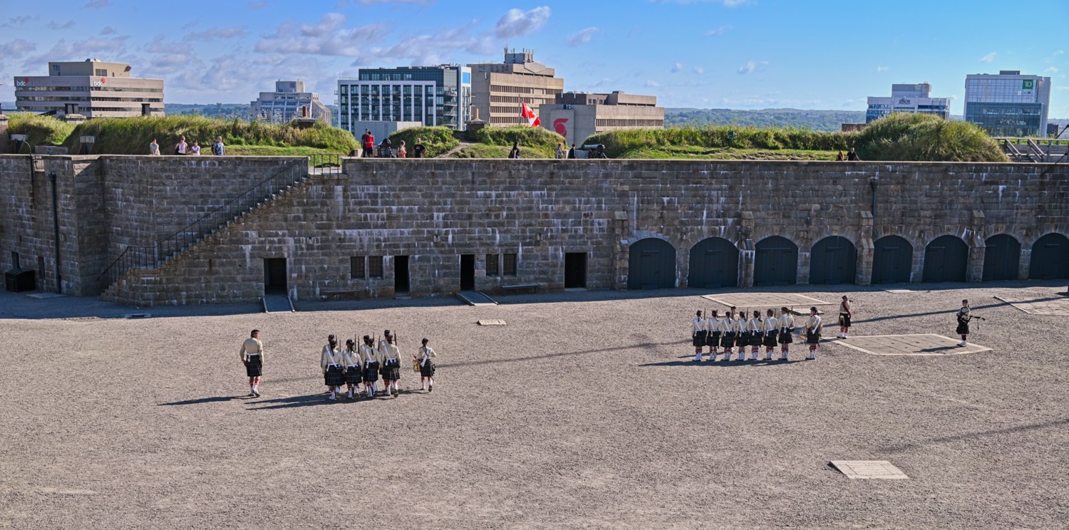 Soldiers drilling on the parade ground
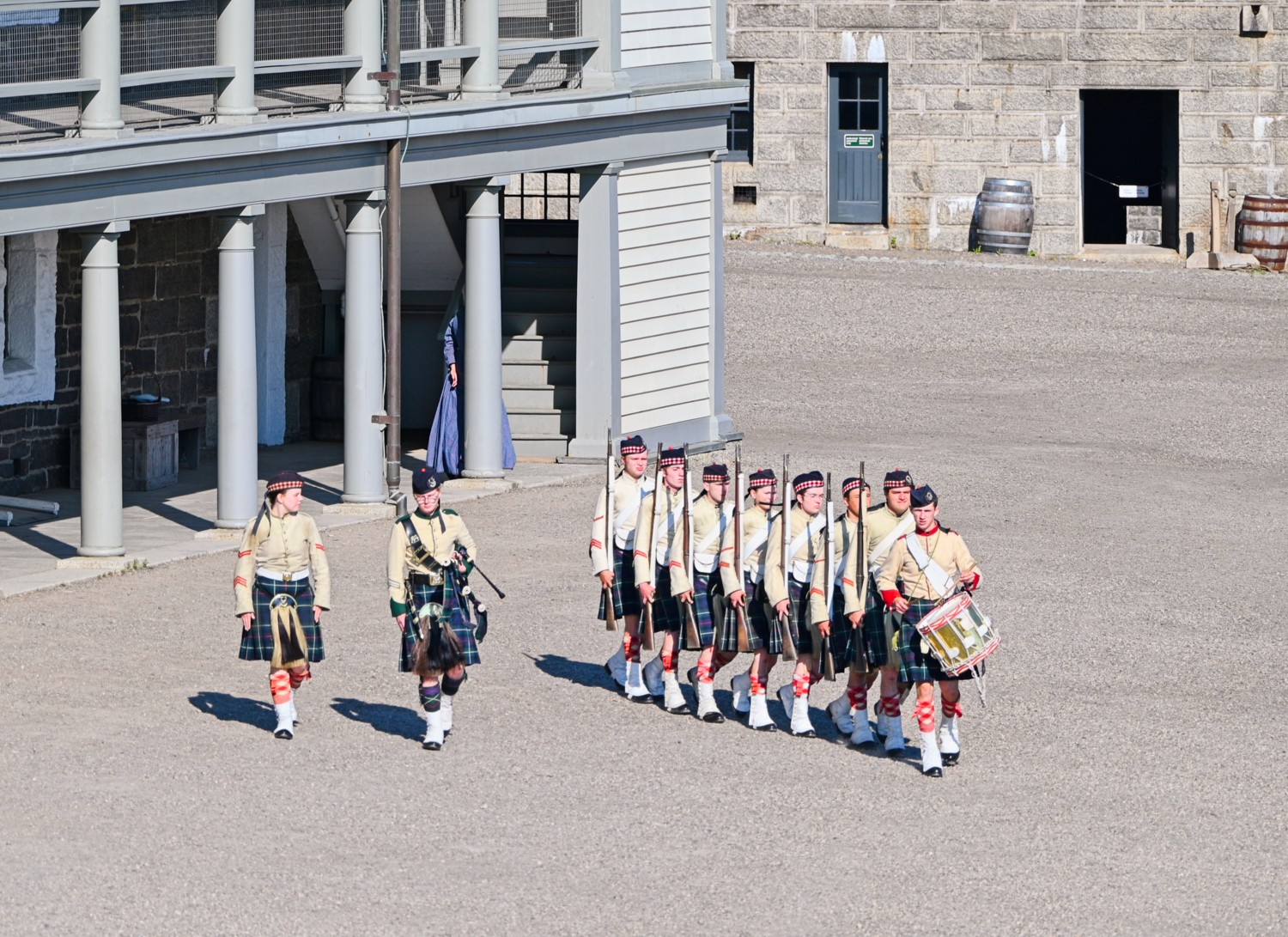 Marching in front of the barrack block
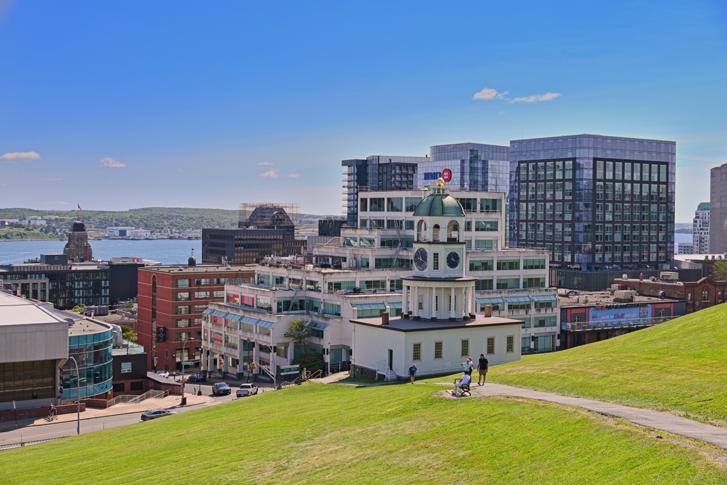 The original Halifax town clock on the eastern slope of Citadel Hill, is an iconic Palladian-style landmark built in 1803. It still runs using its original timepiece.
Peggy’s Cove
A short drive from Halifax is Peggy’s Cove, which has been an artist and explorer’s paradise for well over 150 years. This fishing village, on the rugged Atlantic shoreline, stands on solid rock above the crashing surf. The lighthouse, the only one in North America with a post office inside, is one of the most photographed lighthouses in the world.
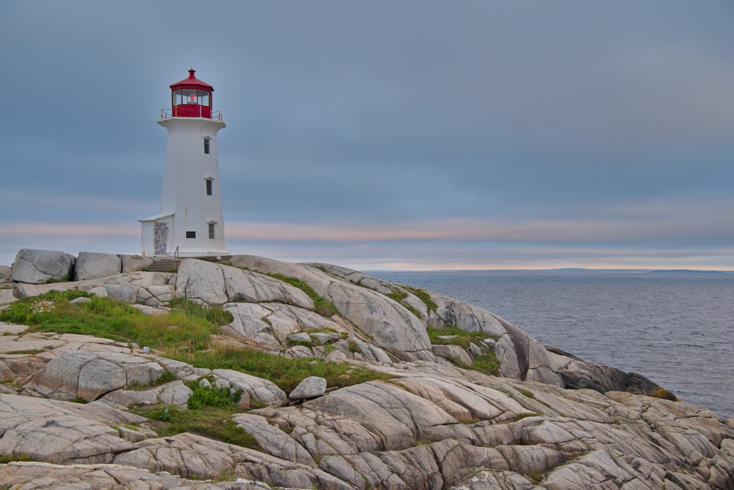 Arriving just after sunrise not only avoids the crowds, but also illuminates the lighthouse in beautiful morning light
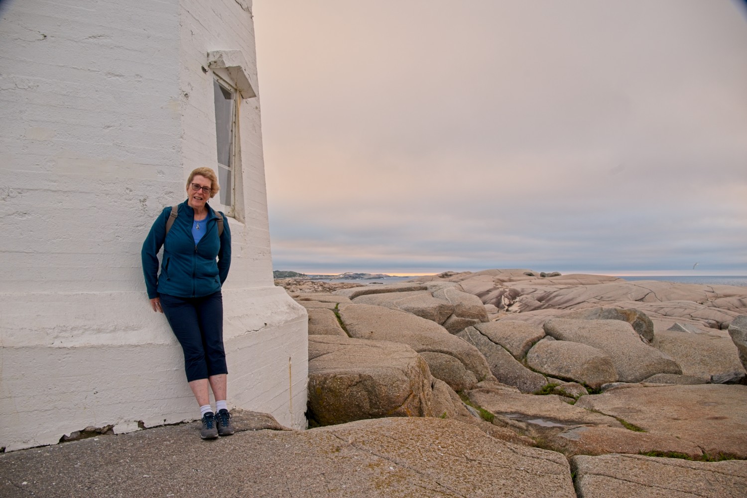 Charlotte taking shelter from the wind!
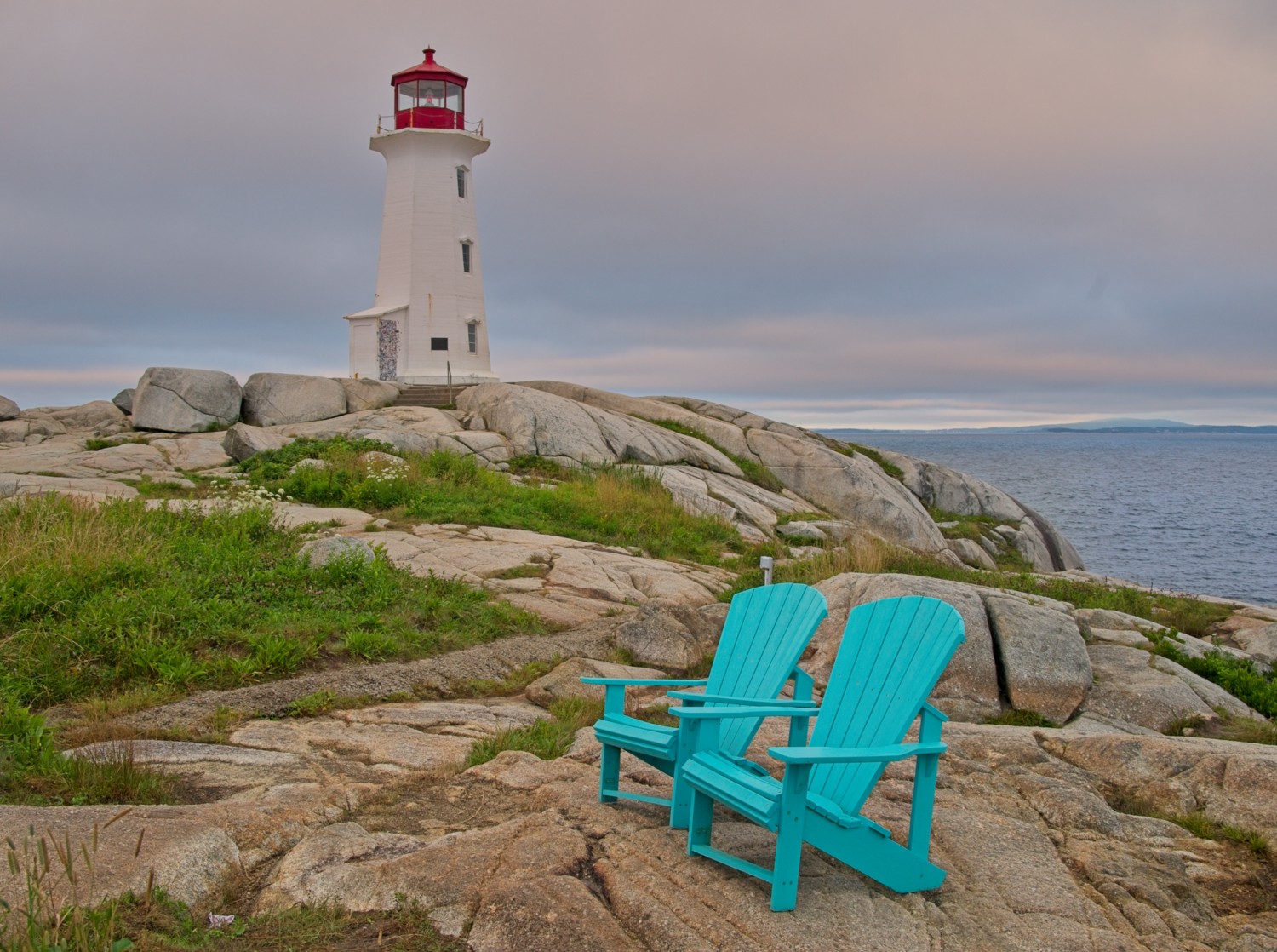 Rather bright coloured Adirondack chairs!
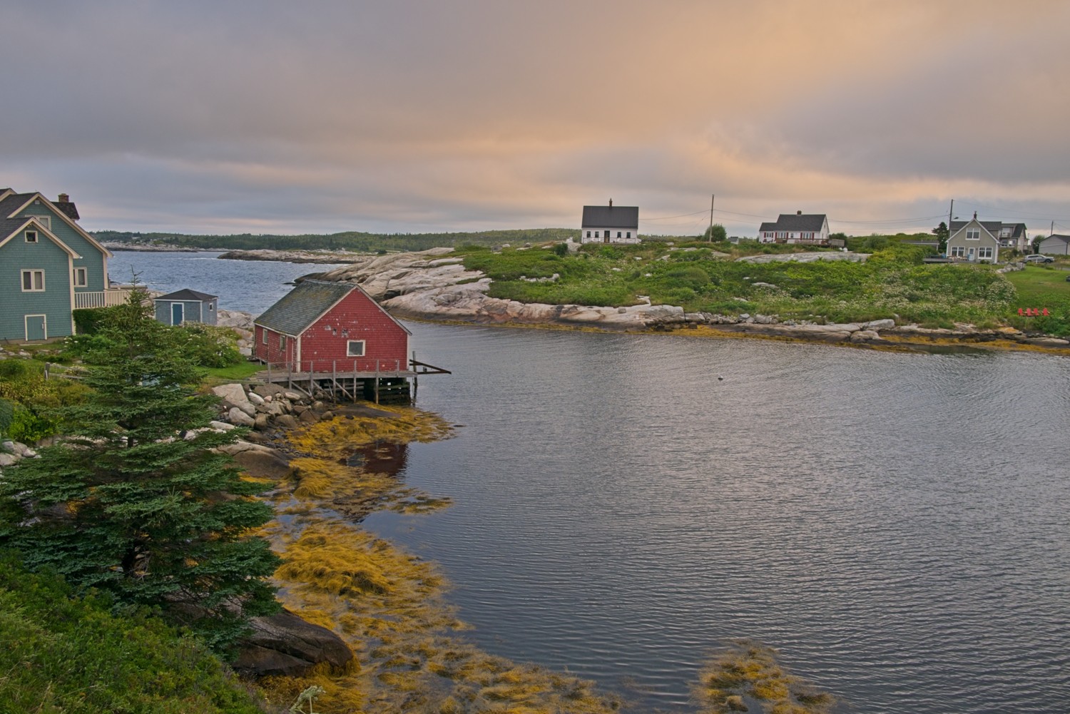
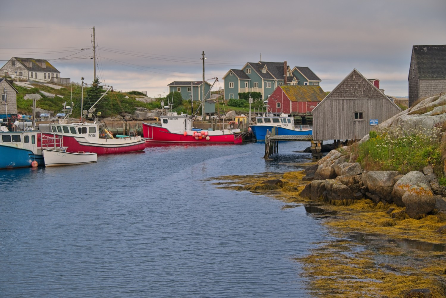 The vibrant colours of the small fishing village contrast with the surrounding landscape.
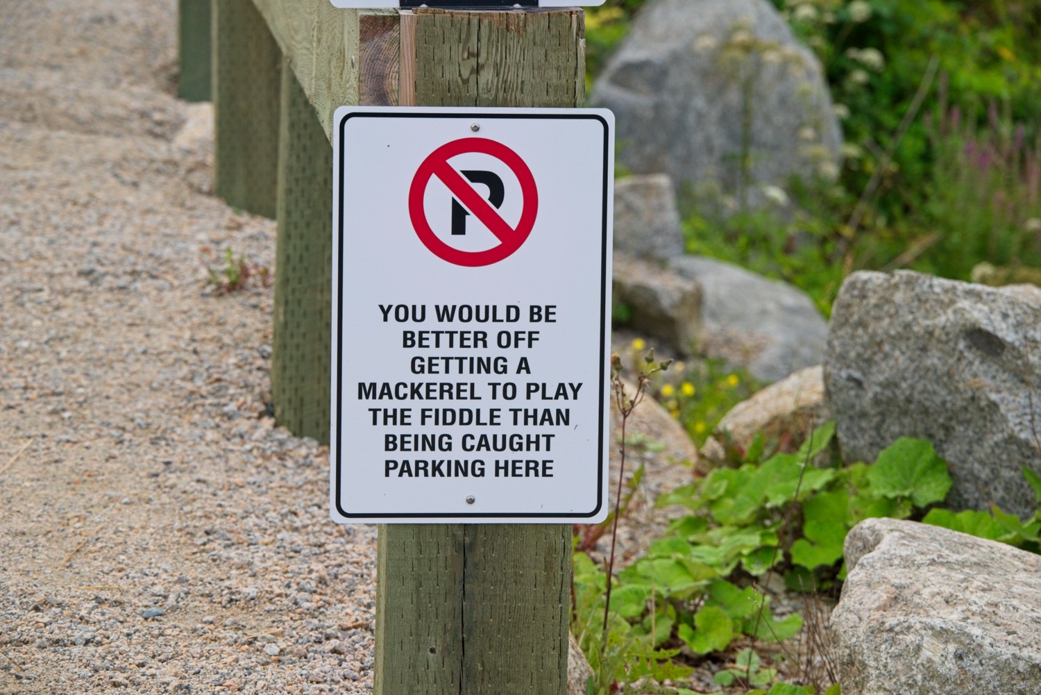 Sign of the week: Clearly there is a parking problem in Peggy’s Cove!
After two days in Halifax, we hit the road for the start of our road-trip.
Mahone Bay, Nova Scotia
Our next 2-night stop was at the quiet coastal area along Mahone Bay, which offers quintessential Nova Scotian scenery with its rocky shores, sheltered coves, and picturesque fishing villages. The region is known for its tranquil atmosphere and authentic maritime character.
Graves Island
Graves Island Provincial Park is located near East Chester on the shores of Mahone Bay. It’s a small island connected to the mainland via a short causeway. It is popular for its scenic camping and a 2-mile coastal walking trail overlooking the bay. We spent a few hours exploring the trail and picnicing, on a hot sunny day that was cooled by the coastal breeze.
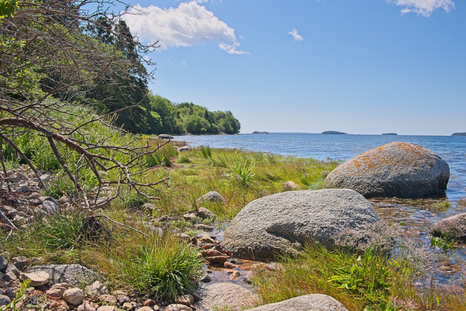 At times the trail led down to rocky outcrops at the water’s edge overlooking the bay
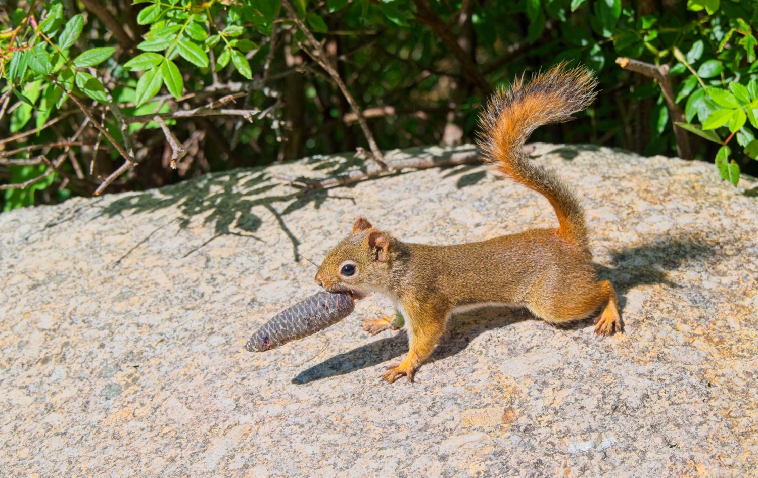 A small nest-building red squirrel
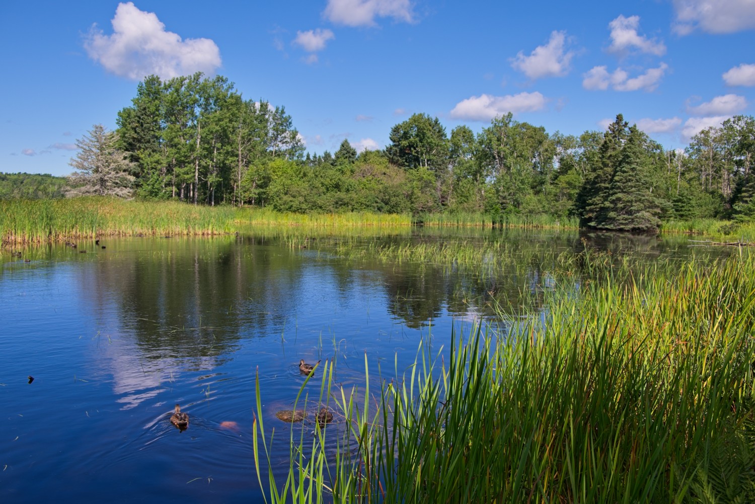 A reed encircled lagoon gives shelter to the ducks
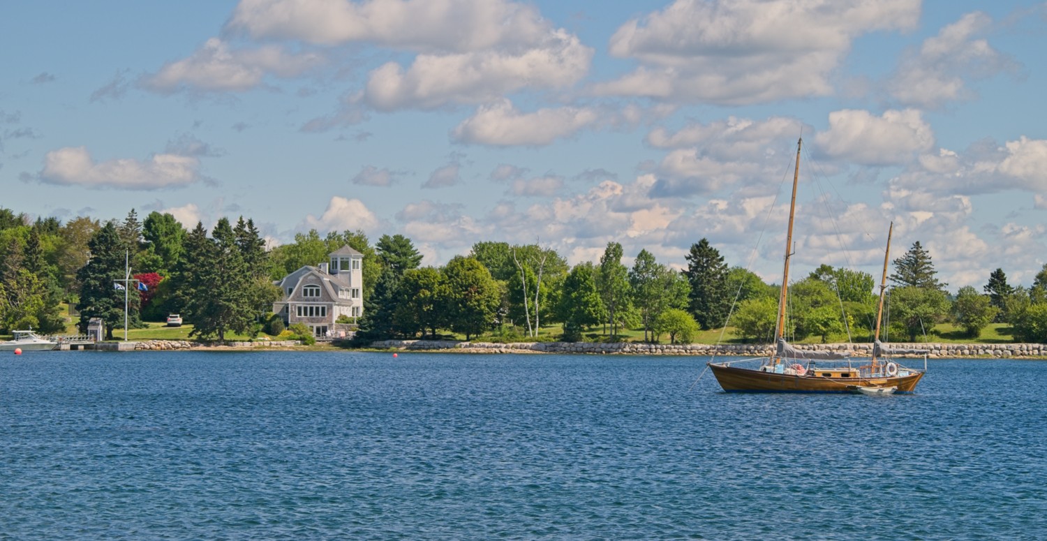 Large mansions and yachts line the shores of Mahone Bay
Lunenburg
Lunenburg is a historic port town located on the southern end of the Mahone Bay region. It’s best known for its brightly painted waterfront buildings and well-preserved 18th-century architecture, which earned Old Town Lunenburg UNESCO World Heritage status as one of the best surviving examples of a planned British colonial settlement in North America. The town has deep roots in shipbuilding and the Atlantic fishing industry, and it’s home to the famous schooner Bluenose II.
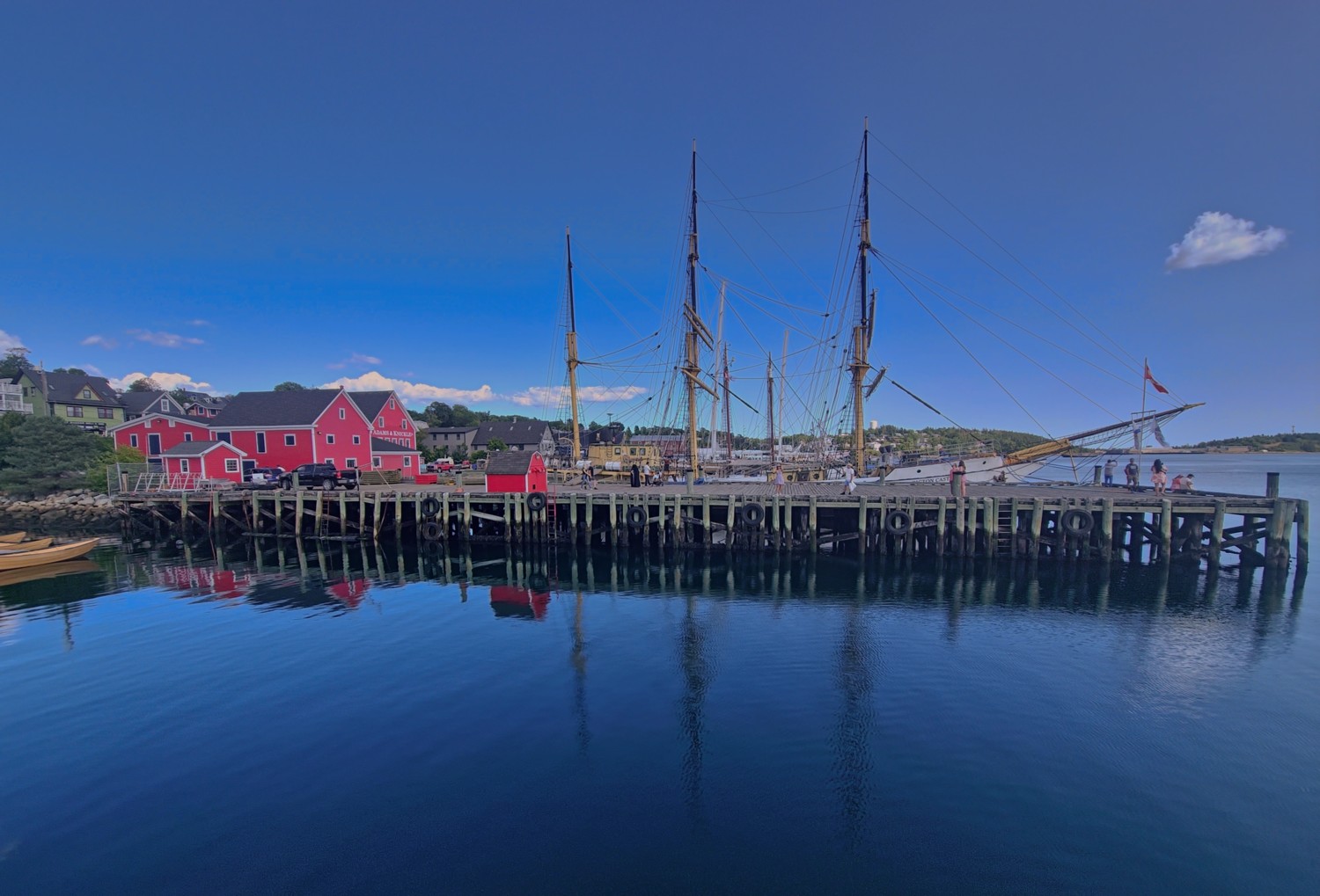
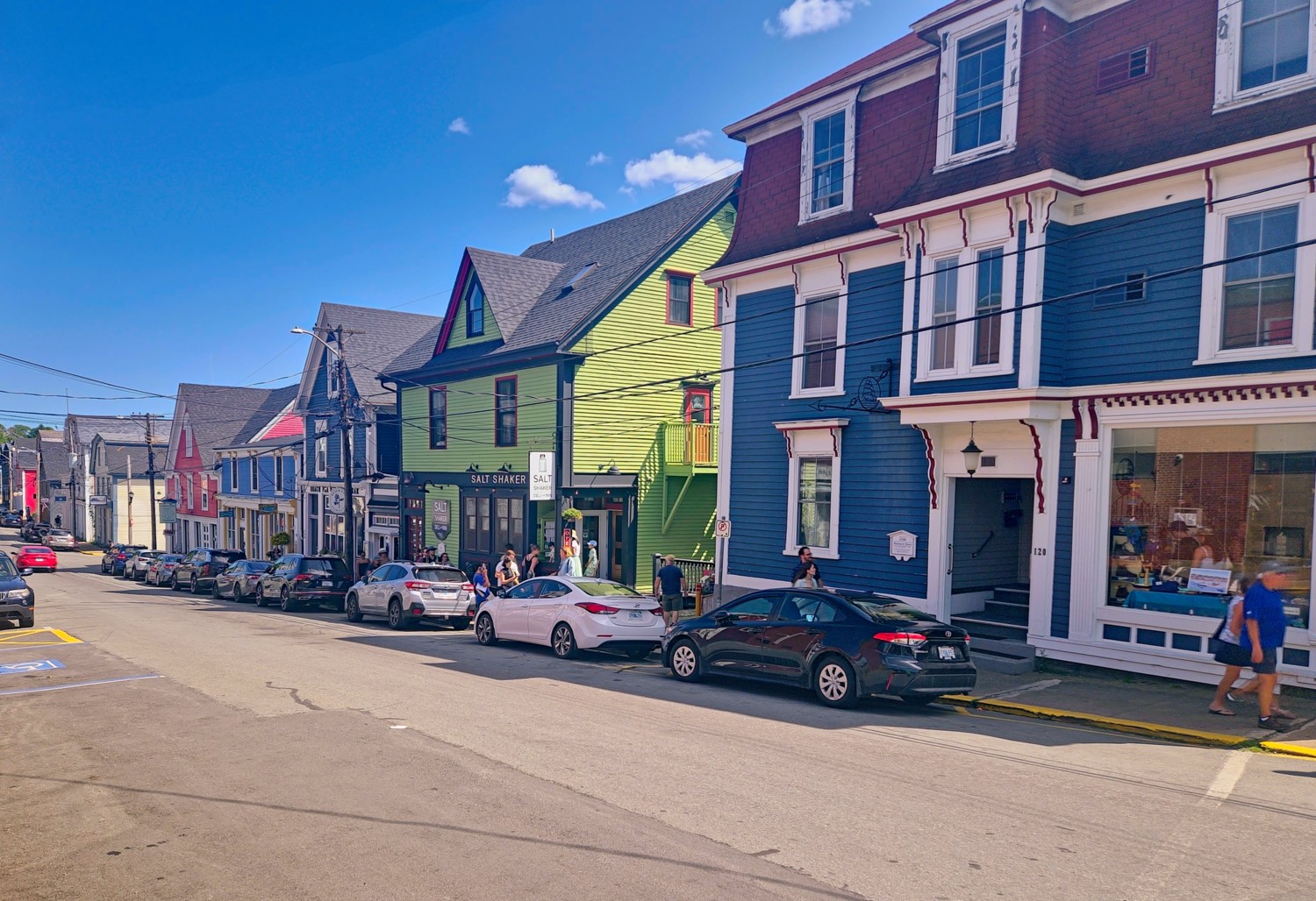
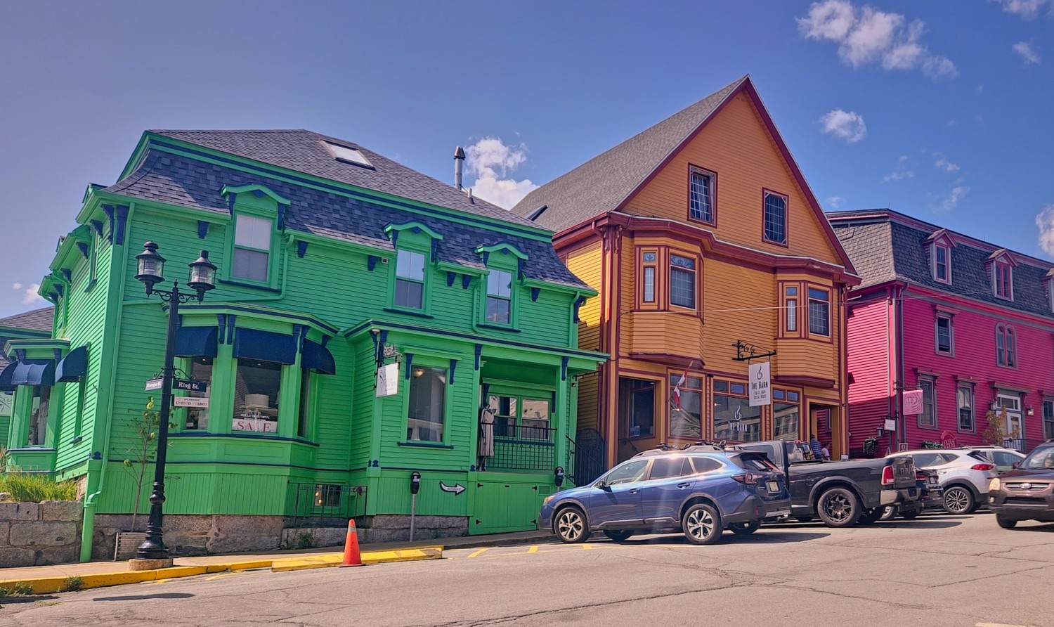
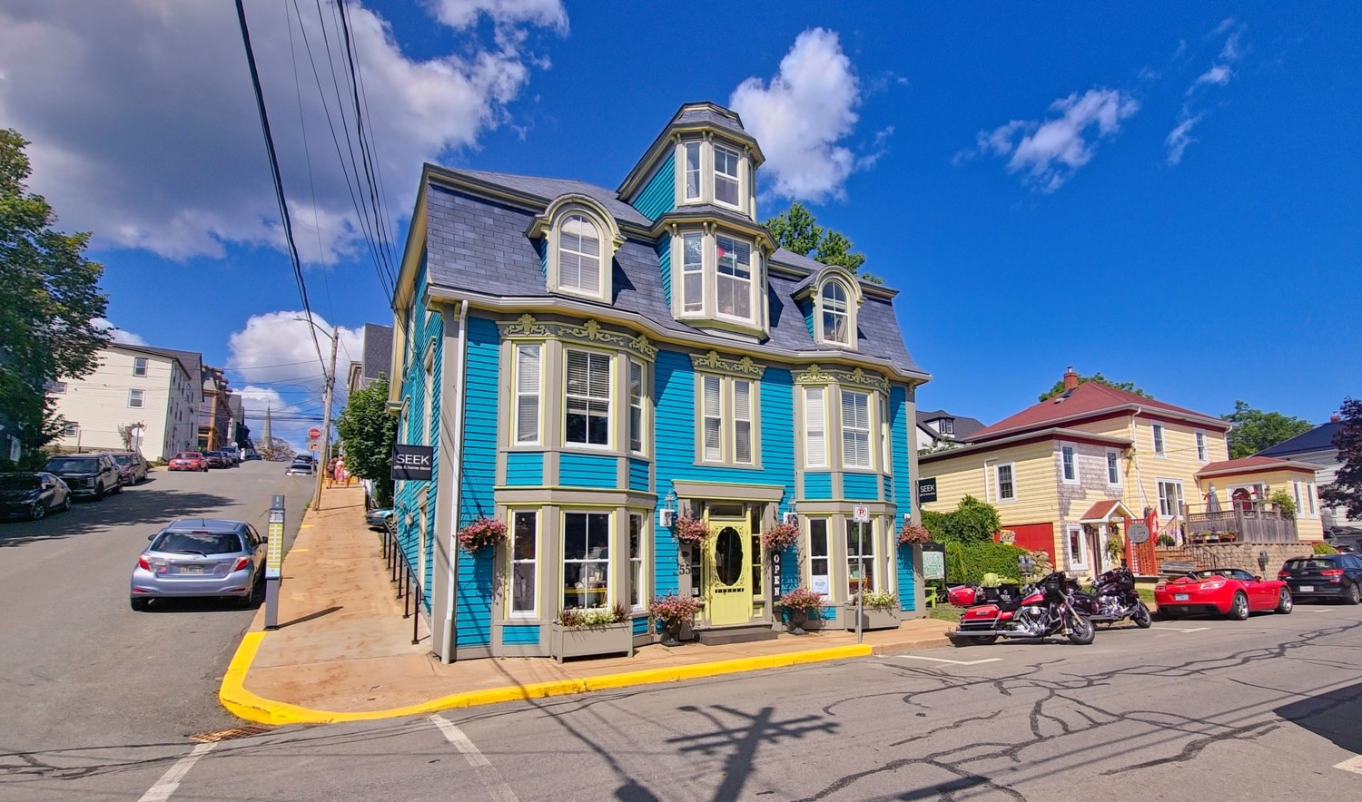
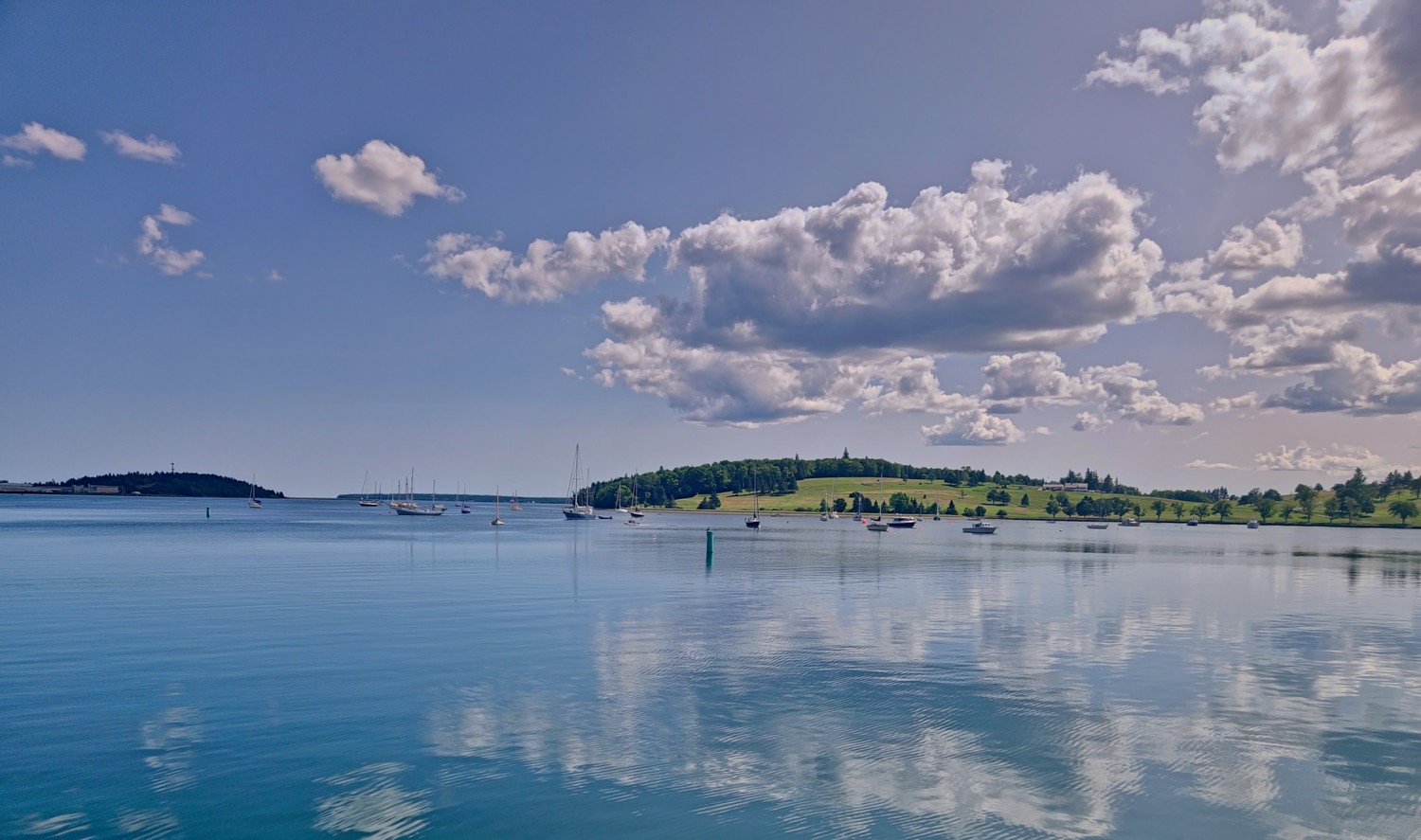
View across Lunenburg harbour
Kejimkujik National Park
The park in southwestern Nova Scotia is Canada’s only national park with dual designation as both a National Park and National Historic Site, recognising its natural beauty and deep Mi’kmaw cultural heritage. The park consists of two areas about 62 miles apart: the inland portion features 156 square miles of old-growth forests, meandering rivers, and island-dotted lakes perfect for canoeing and backcountry camping, while Kejimkujik Seaside offers white sand beaches and turquoise coastal waters. Kejimkujik is pronounced “kedge-ee-mah-KOO-jik”; locals sometimes shorten it to “Keji”, pronounced “kedge-ee”, for convenience!
We hiked trails in both parts of the park over two days. We visited the smaller Kejimkujik Seaside whilst staying in Mahone Bay, and on the second day, the main park whilst on route to Digby. Here are some photos from both days.
Kejimkujik Seaside:
Sitting on a headland near the community of Port Joli, Kejimkujik Seaside protects a stretch of beaches, coastal bogs, and forest along the Atlantic shoreline. It’s known for white sand beaches like St. Catherines River Beach and for seal-watching and hiking trails through coastal habitat.
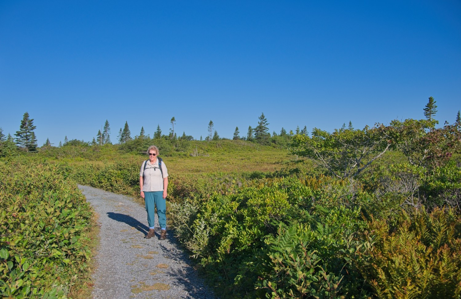
We walked a couple of trails, covering approx. 6 miles, around the southern coastline of the headland.
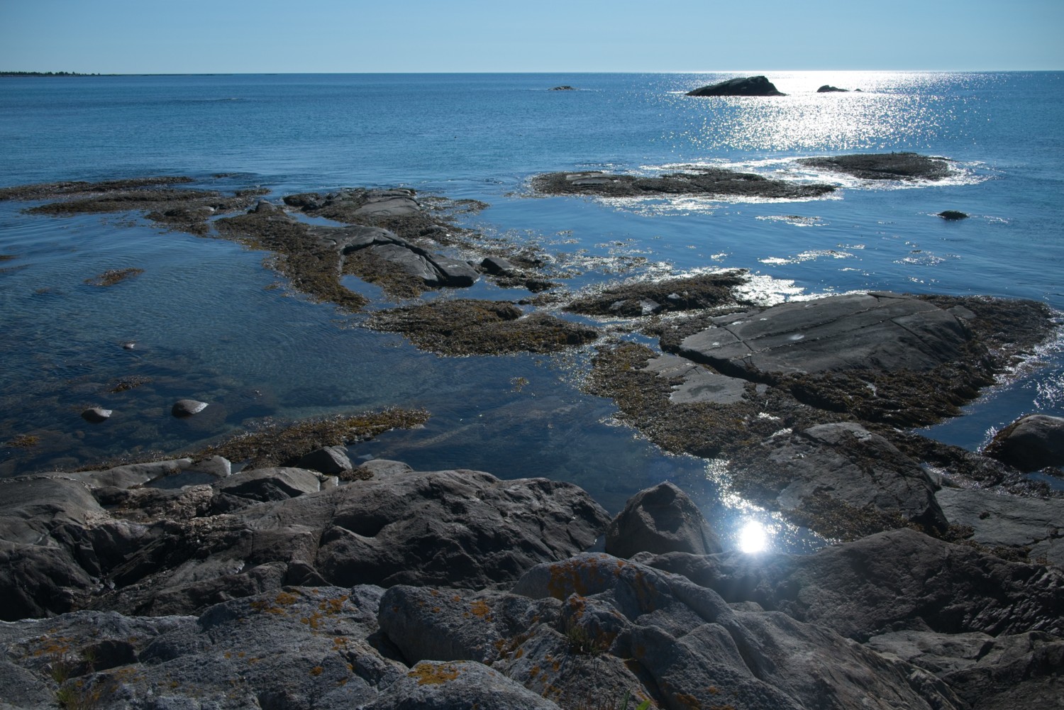
We reached Harbour rocks beach shortly after sunrise, and had the whole area to ourselves!
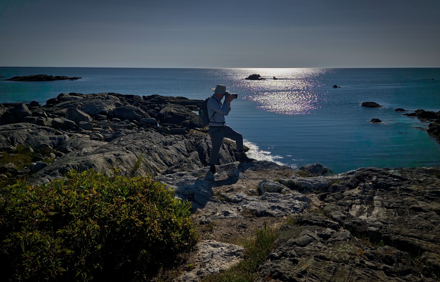
A rare sighting of Graham the lesser-spotted photographer, who is normally only seen in the early hours of the morning!
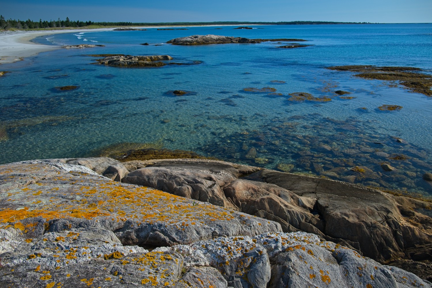
As the light changed you could see how clear the water was. In the distance is the crescent-shaped St. Catherines River Beach, which is approx 1.5 miles long, making it one of the longest undeveloped beaches in mainland Nova Scotia.
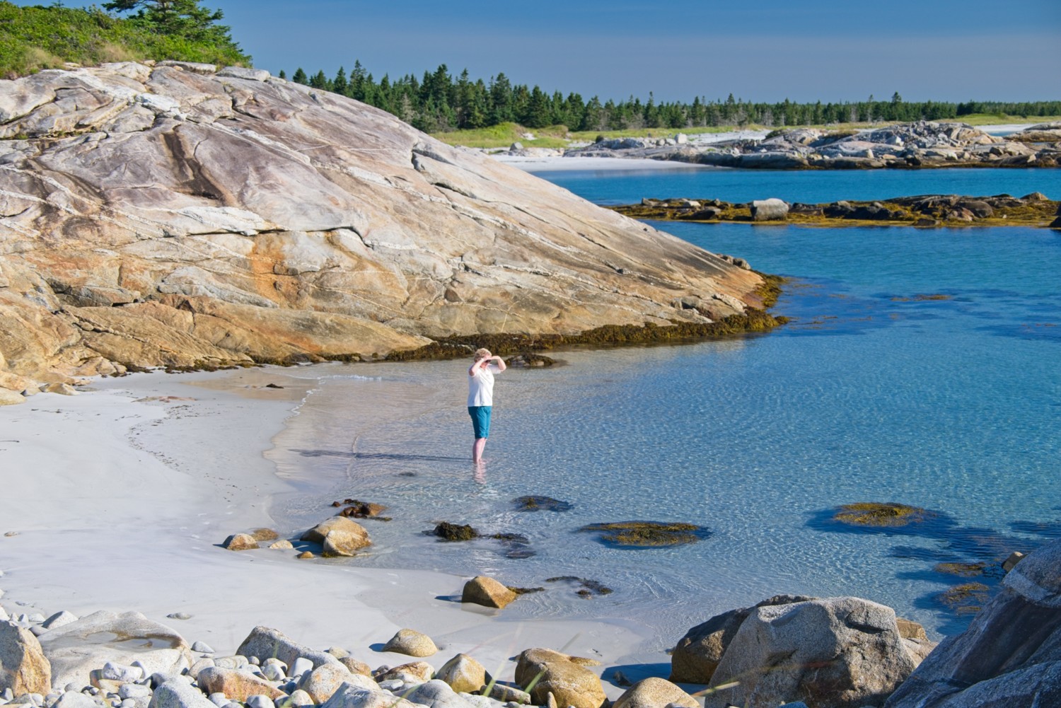
Charlotte found her own private cove for a paddle!
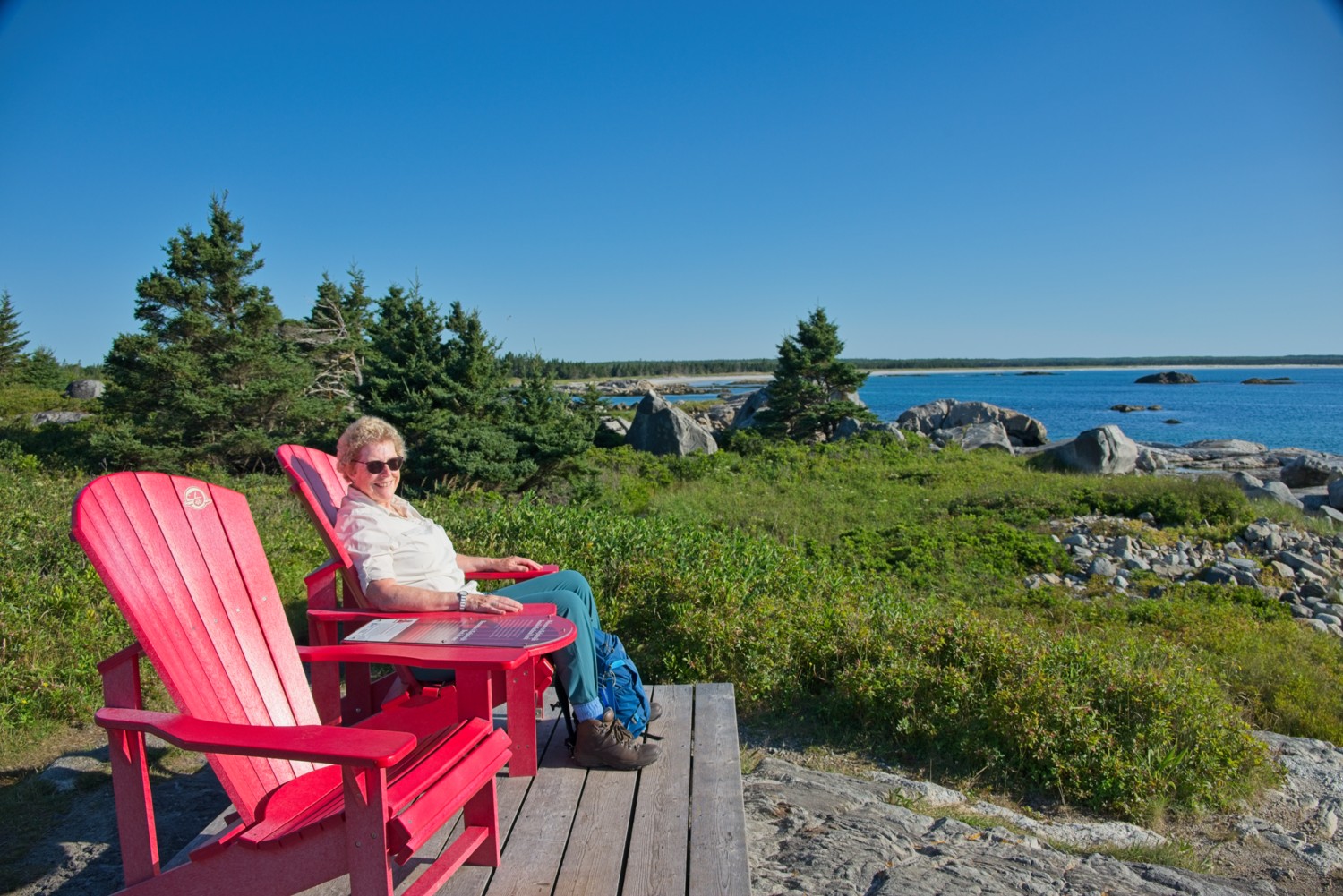
We found our first pair of original National Park red chairs!
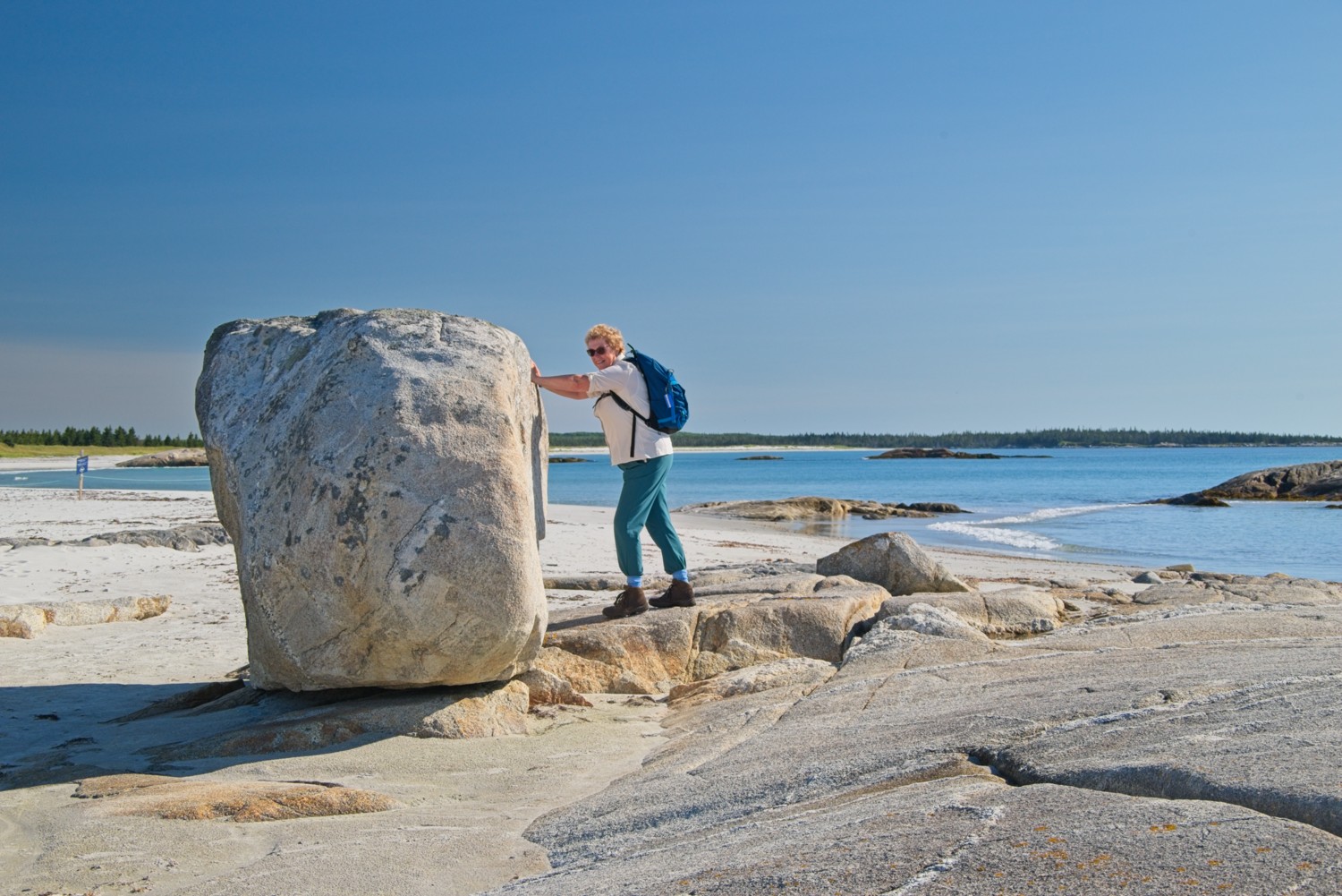
Charlotte trying to tidy up the rocks!
Kejimkujik Main Park:
The main park is known for its calm lakes and winding rivers, which make it a top destination for canoeing and kayaking. Hiking and biking are also very popular with an extensive network of trails.
Here are some of the highlights from the 5-mile River Mersey trail that we walked, along the forested riverbank.
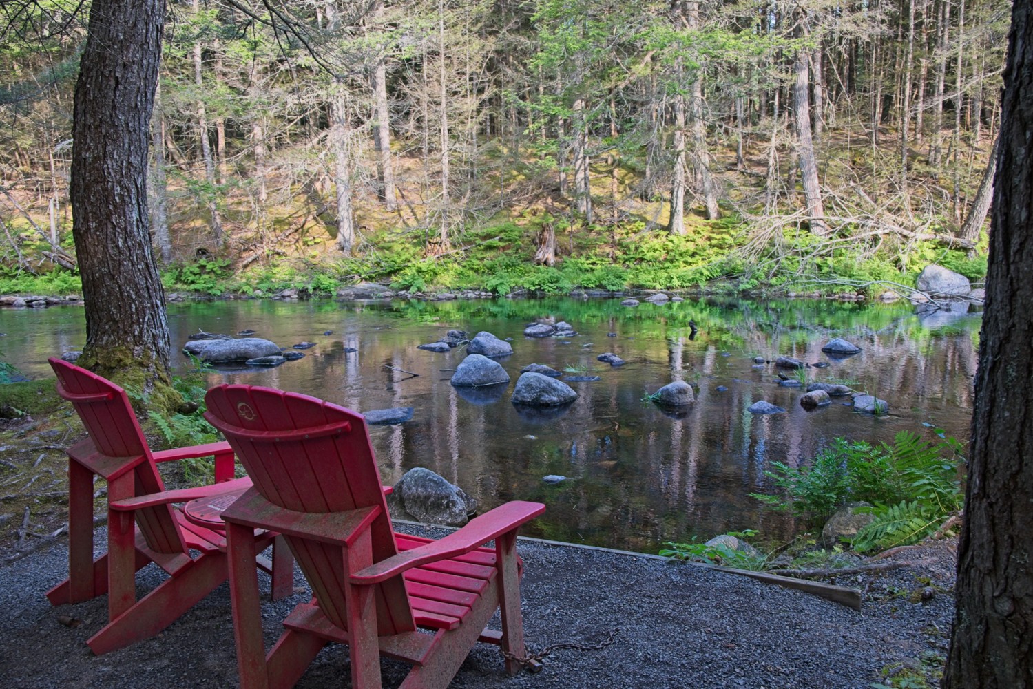
A lovely quiet, tranquil place to enjoy from the comfort of red Adirondack chairs
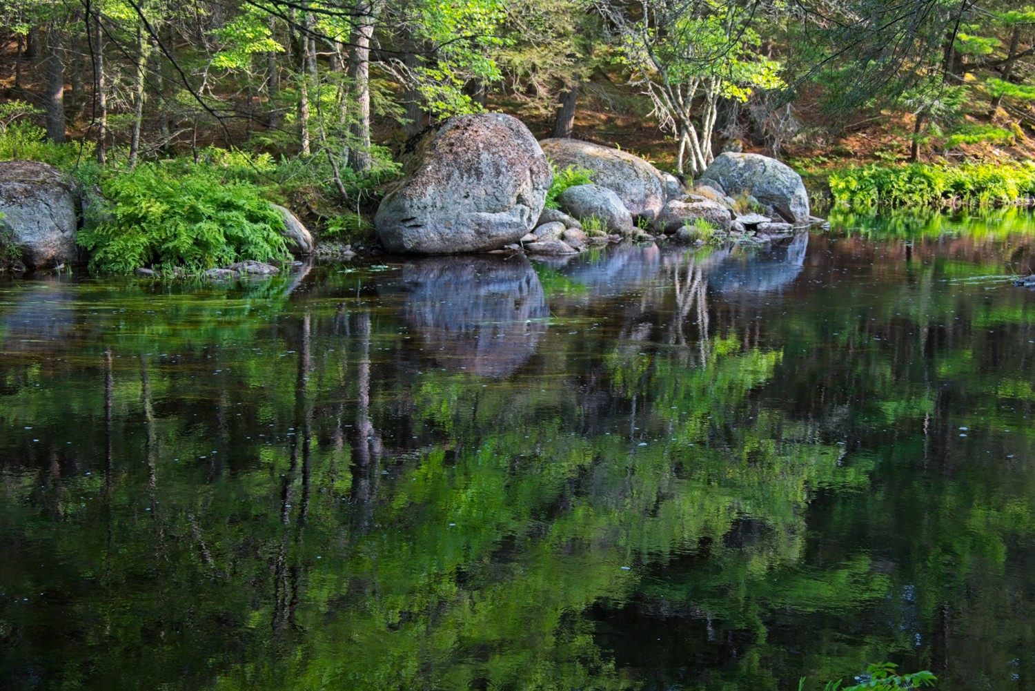
The calm, clear water produces beautiful reflections
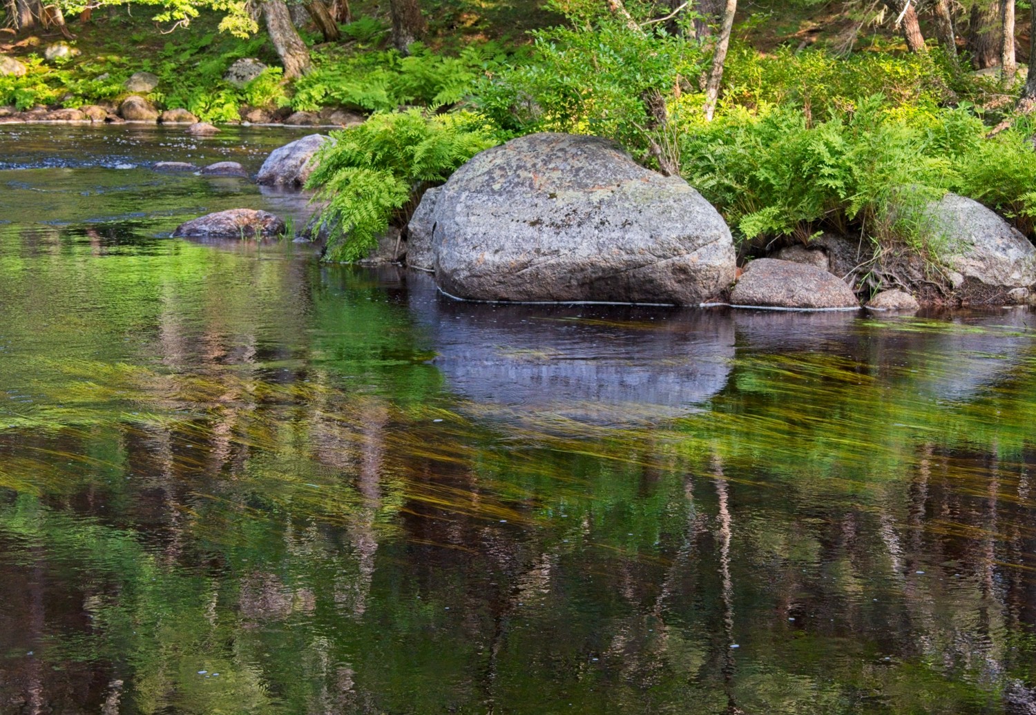
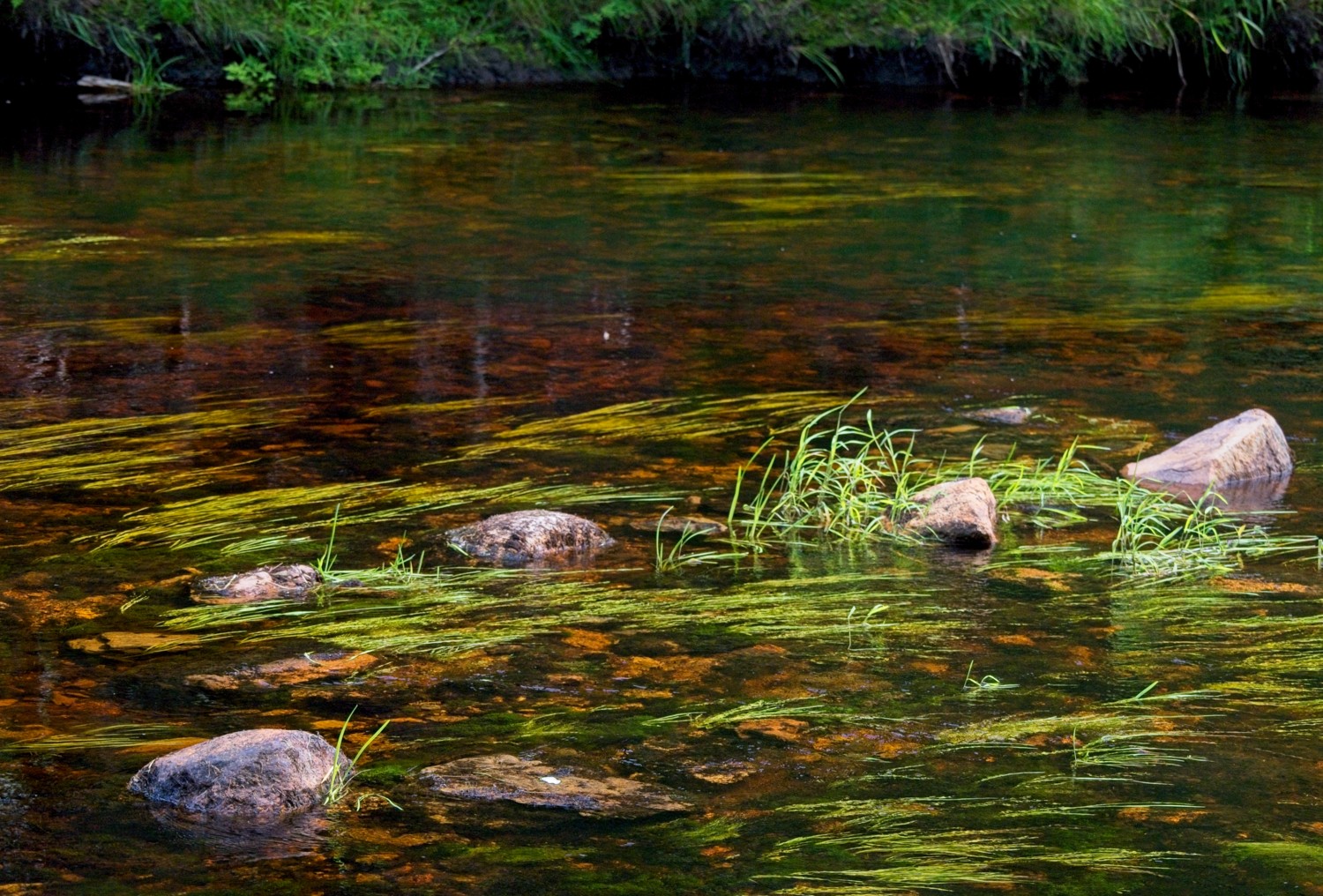
The colourful reeds and stones of the riverbed are in contrast to the brackish water
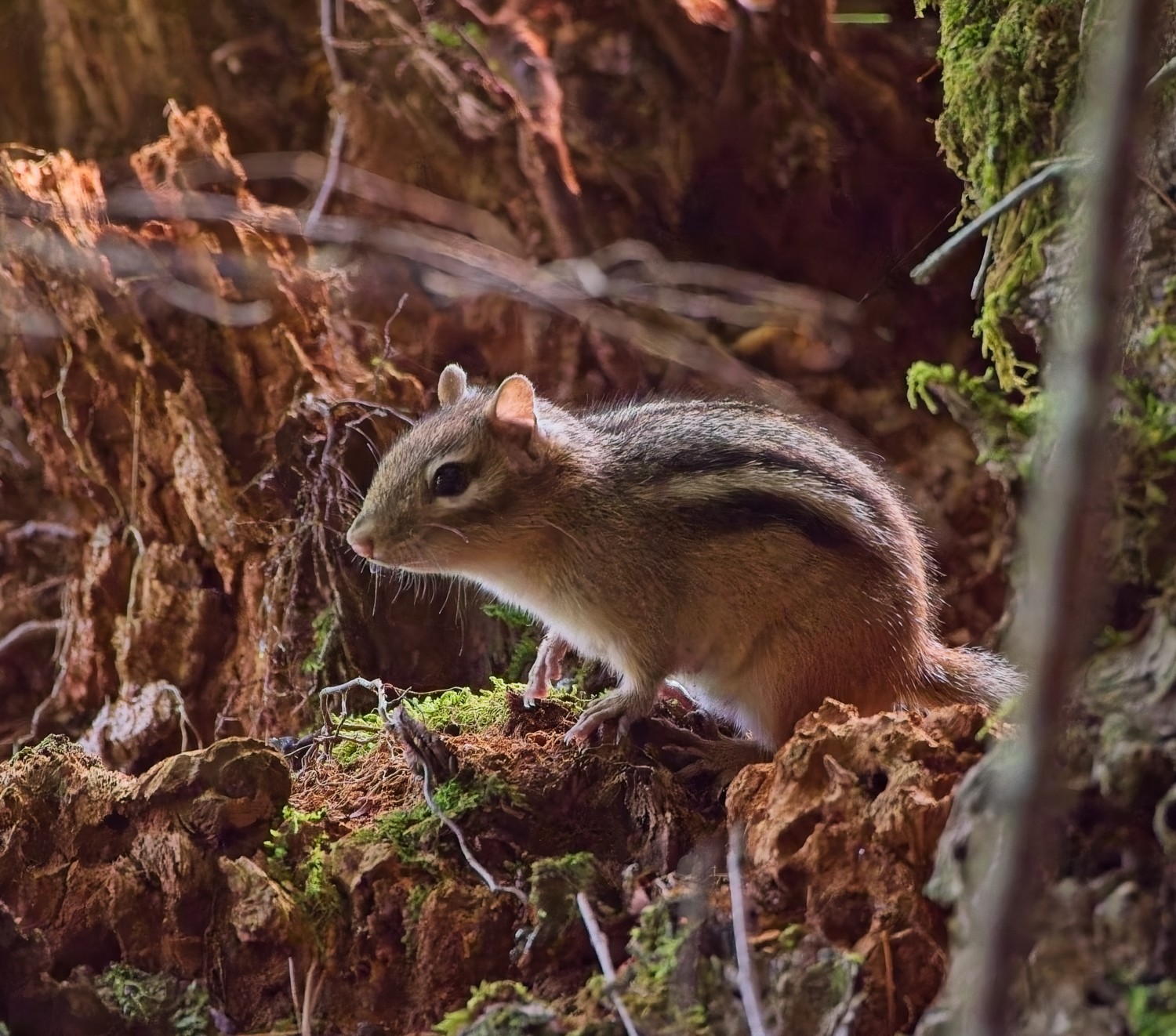
A Chipmunk venturing out from its underground burrow
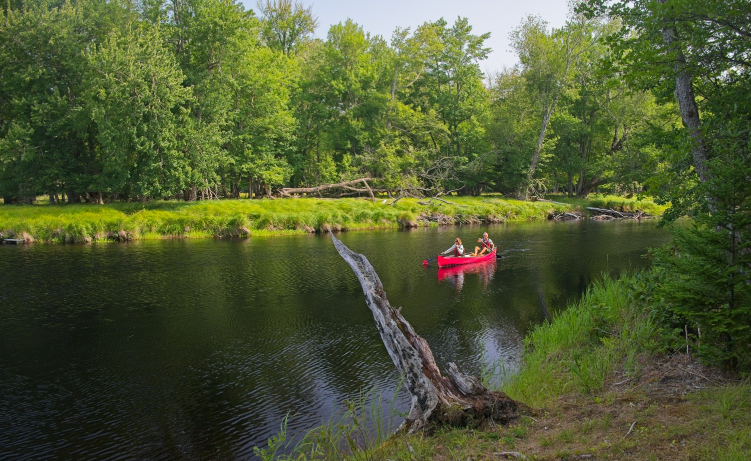
Canoeing is a great way to explore the rivers and lakes of the park
Digby, Nova Scotia
Situated on the Annapolis Basin along the Bay of Fundy, Digby is renowned for having the highest tides in the world, rising up to 50 feet. This charming fishing town is famous for its scallop fleet and offers dramatic coastal scenery where the unique tidal environment creates ever-changing landscapes.
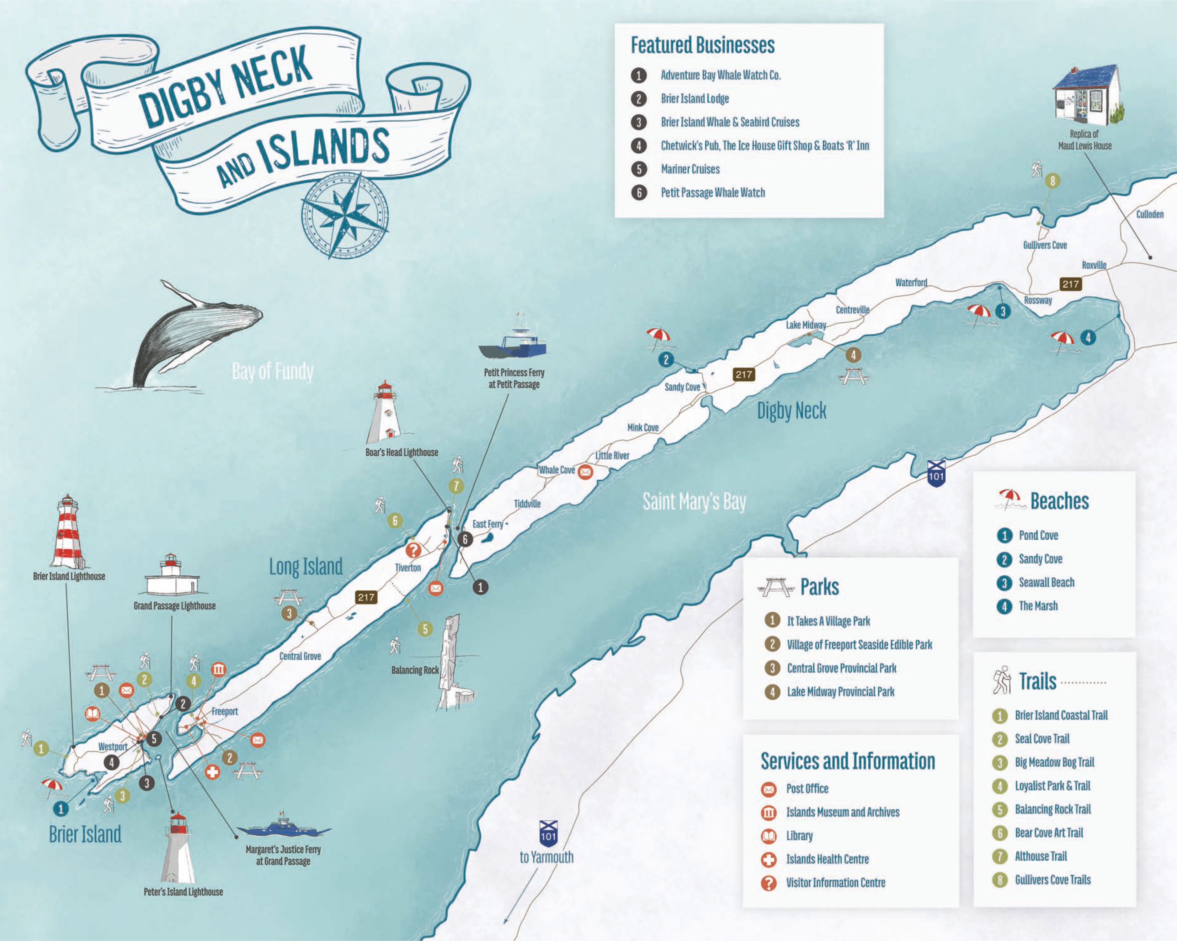
We spent a lot of time touring around the Digby Neck and its islands. It is a long, narrow peninsula jutting out from the town of Digby. At the end of the peninsula are two small islands, Long Island and Brier Island. One can drive the entire 45 mile length of the Neck and islands via two ferries in 1 hour (see map). Our first visit was to Brier Island.
Whale Watching Cruise in Bay of Fundy
Our destination was the small lobster fishing village of Freeport on Brier Island, where we boarded the ‘Mega Nova’ for our Whale watching cruise. We were lucky as the Humpback whales came out to play!
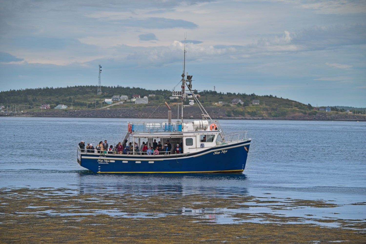 The Mega Nova
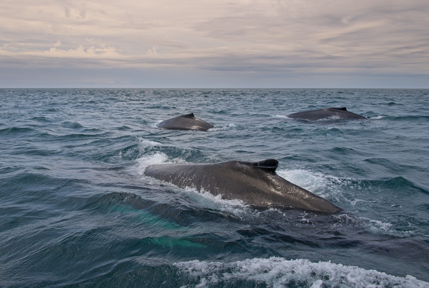 Three Humpback whales swimming together. Our guide said that these whales were unrelated, but had formed a bond with each other. They are here for their summer feeding on Capelin, Herring and Mackerel. Because, Humpbacks are baleen whales they do not chew their food, instead they filter thousands of small fish out of the water. An adult Humpback can consume 1.5 tons of fish every day.
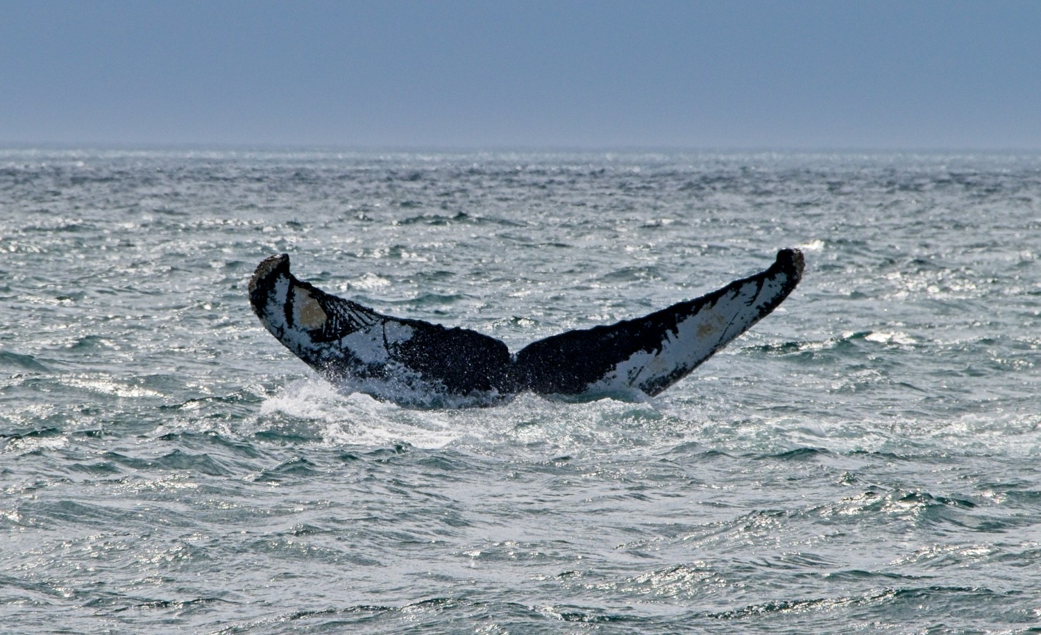 A whale can be identified by their unique markings on their tail.
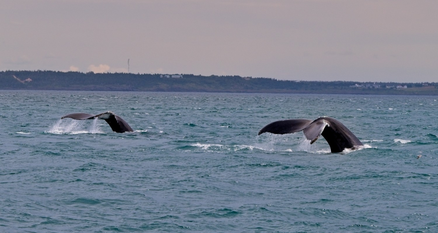 Two of the whales started synchronising their movements.
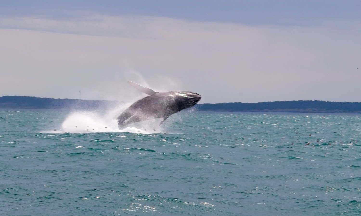 Whales breach and jump out of the water for a number of reasons. They can be signalling to others their location as the noise of the massive splash reverberates through water. The impact of the landing also shakes off any parasites. Our guide thought that they were just playing and doing it for fun!
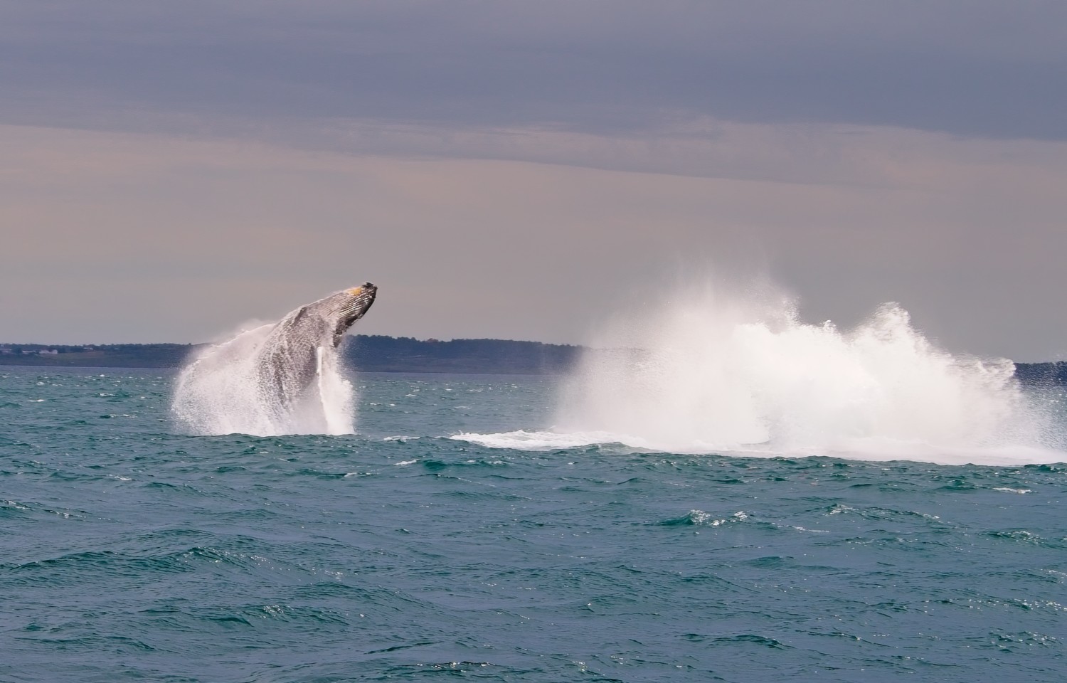 As the first whale crashed into the water, the second whale followed with it’s own breach. An incredible sight that we had never seen before.
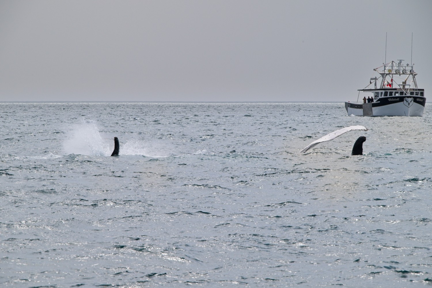 Continuing synchronised antics, the whales rolled onto their sides and started flipper slapping. This action can help regulate their body temperature. Of course they could still be showing off!
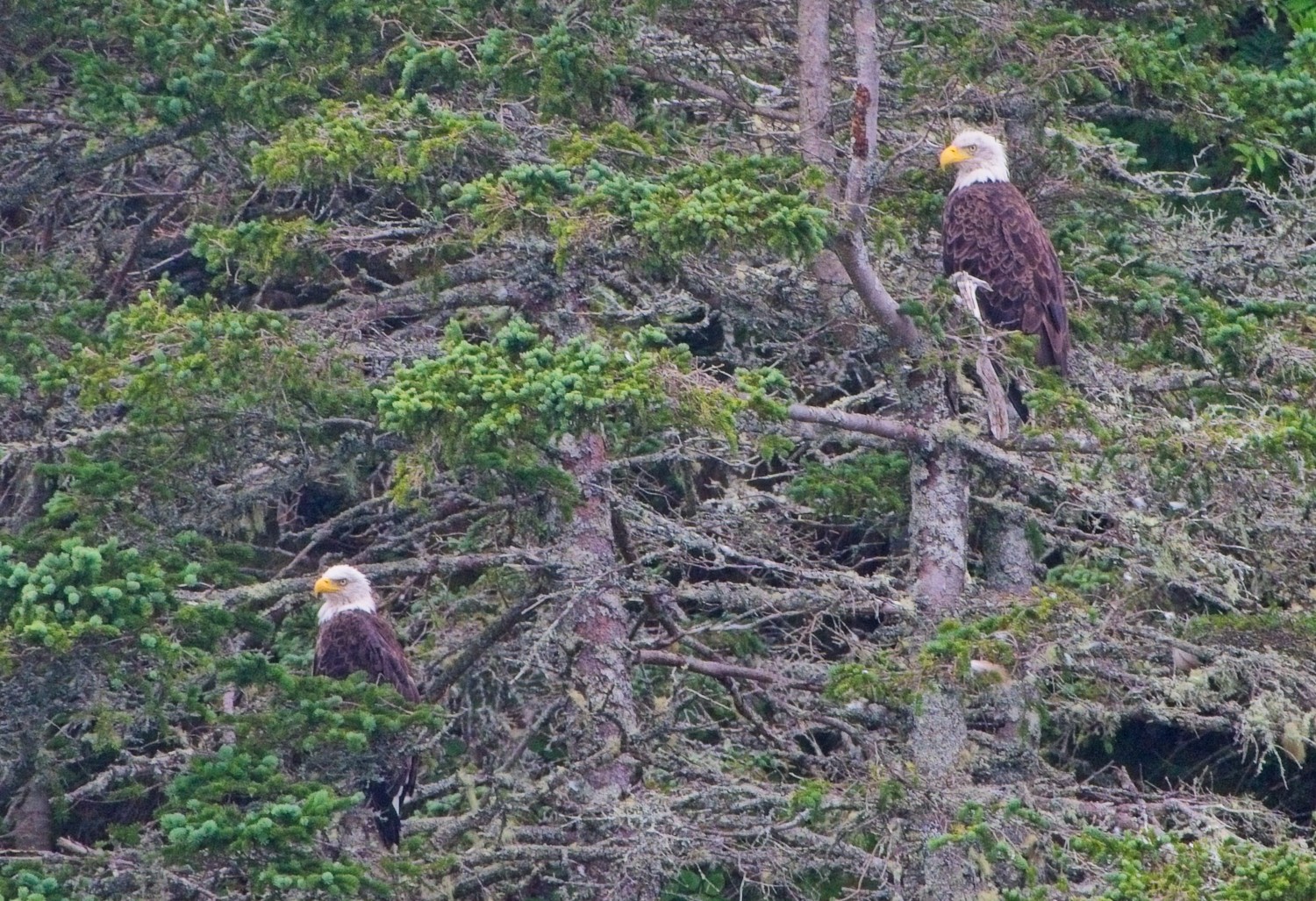 A pair of Bald Eagles spotted in the harbour on our return.
The next day re-visited the Digby Neck, but this time exploring the Long Island, early one Foggy morning!
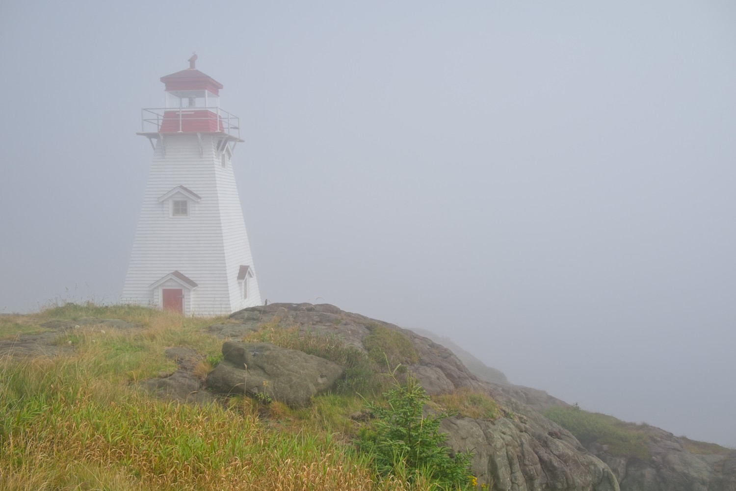 Boars Head Lighthouse – The usual stunning view from the lighthouse of the Bay of Fundy was missing this morning, due to thick fog!
So with the fog lifting, we moved on to to see the Balancing Rock on the opposite side of the island, overlooking St Mary’s Bay.
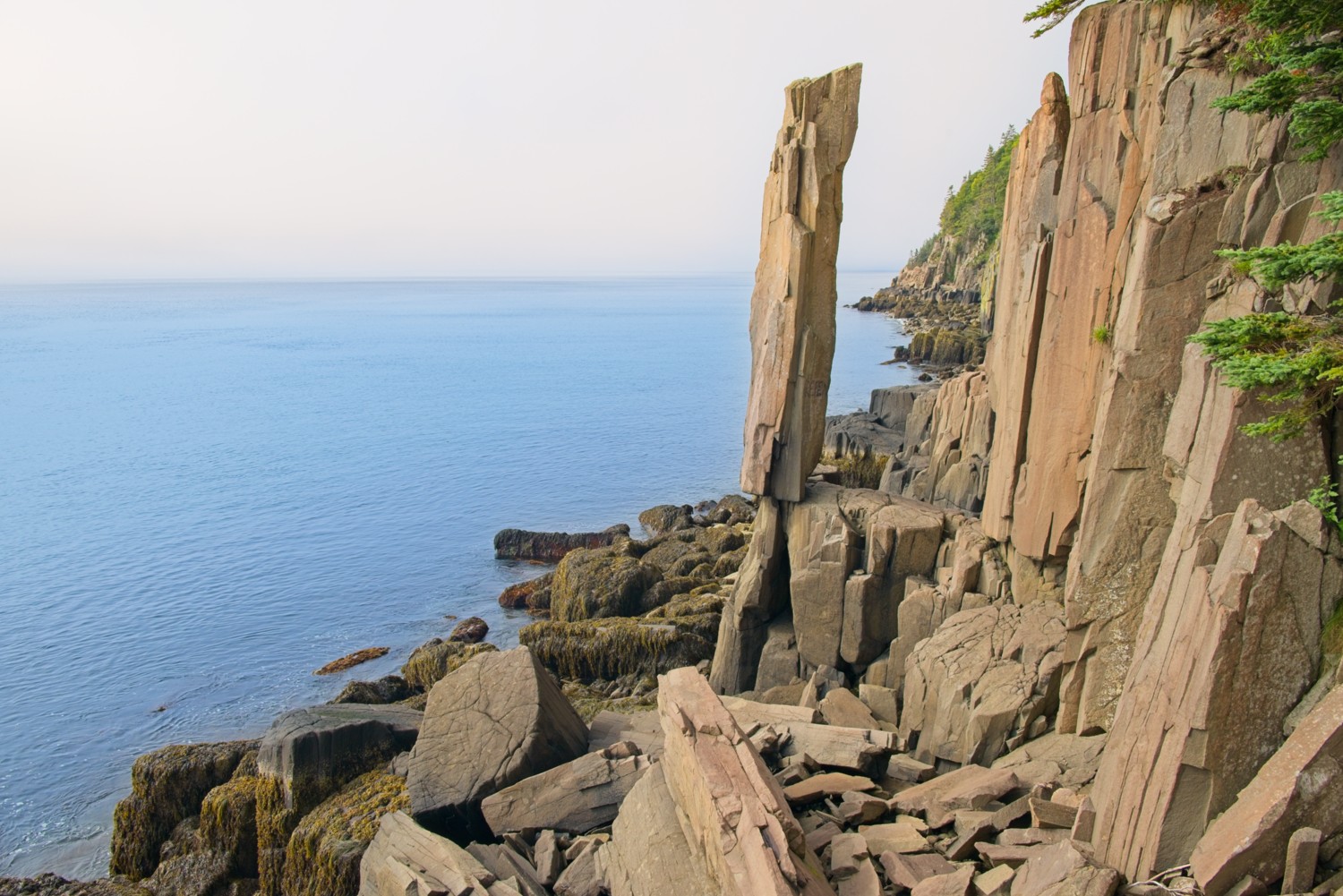
The Balancing Rock is a tall, narrow basalt column that stands upright and appears to balance precariously on a small base at the edge of the ocean, seemingly defying gravity as waves from St. Mary’s Bay crash around it. The formation was created by volcanic activity and subsequent erosion, which wore away the surrounding softer rock and left this striking pillar standing.
Our final visit was to Port Royal, just a few miles outside Digby in the area known as Annapolis County.
Port Royal National Historic Site
Port Royal features a reconstruction of the compound from one of the earliest European settlements in North America where Samuel de Champlain lived in 1605.
Seasonal trade between the Mi’kmaq (the local first nations tribe) and Europeans had been established long before the French settled at Port-Royal. The Mi’kmaq welcomed them to their territory. They formed a friendship and established an alliance with the French. The two peoples shared knowledge and customs so the French were able to survive in their new environment.
On landing at Port Royal in the spring of 1605, skilled craftsmen assembled the structure by hand. Before winter arrived, the French were residing inside a finished compound that offered protection against the wind and cold of winter.
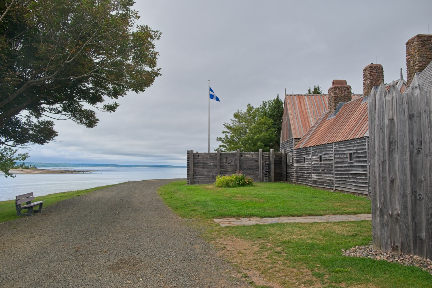 The compound is located on the Annapolis River
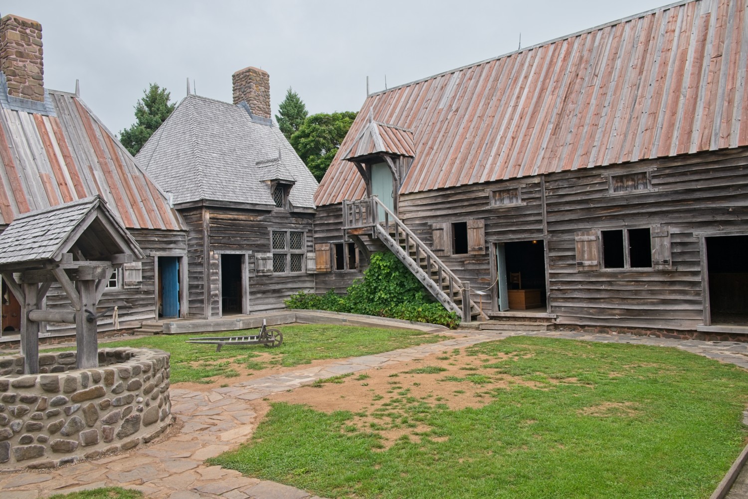
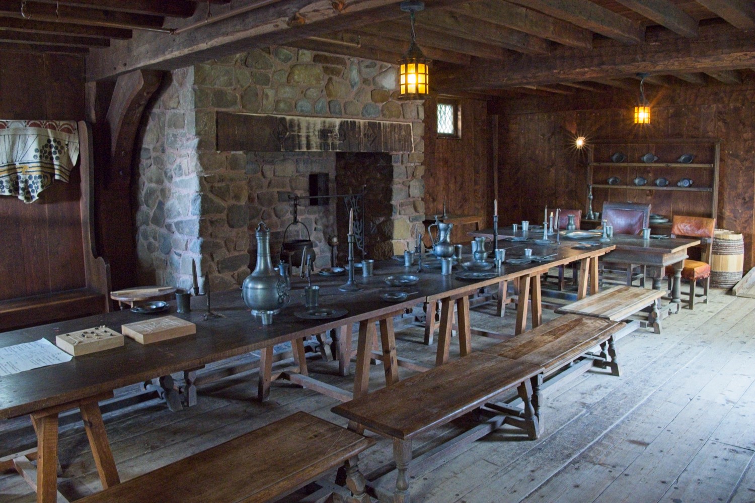 The Common, the room for meetings and dining
The next day we took a ferry across the Bay of Fundy to our next stop.
Moncton, New Brunswick
Moncton is New Brunswick’s largest city, strategically positioned near several natural wonders, including the famous Bay of Fundy. The area offers unique tidal phenomena and serves as a convenient base for exploring the region’s diverse landscapes, from tidal bores to forested river valleys and coastal marshlands teeming with wildlife.
The Bay of Fundy is a large, funnel-shaped bay located between the Canadian provinces of New Brunswick and Nova Scotia, with its outer mouth opening into the Gulf of Maine. It is world-famous for having the highest tides on the planet, with water levels in some areas rising and falling by as much as 50 feet, between low and high tide. This dramatic tidal range is caused by the bay’s unique shape and depth, which causes incoming tidal water to resonate and amplify as it funnels into the narrowing bay.
It’s estimated 160 billion tonnes of seawater flows into the Bay of Fundy between tides. That’s more than four times the estimated combined flow of all the world’s freshwater rivers during the same 6-hour period.
The powerful tides have shaped a striking coastline of towering cliffs, sea caves, and unusual rock formations, most notably the Hopewell Rocks, where erosion has carved flowerpot-shaped pillars topped with trees. The bay is also a rich ecological area, serving as a feeding ground for whales, and hosting one of the largest concentrations of shorebirds in North America during migration season.
Hopewell Rocks Provincial Park
For thousands of years, the massive tides of the Bay of Fundy have been patiently sculpting their masterpiece in Hopewell Cape. With over twenty free-standing sea stacks peppered along 1.5 miles of shoreline, the park provides a close-up look at the wonders of the local geology. At low tide, you can walk around the stacks. At high tide the water rises to about 40ft, allowing the ‘flowerpots’ to be explored only by kayaks.
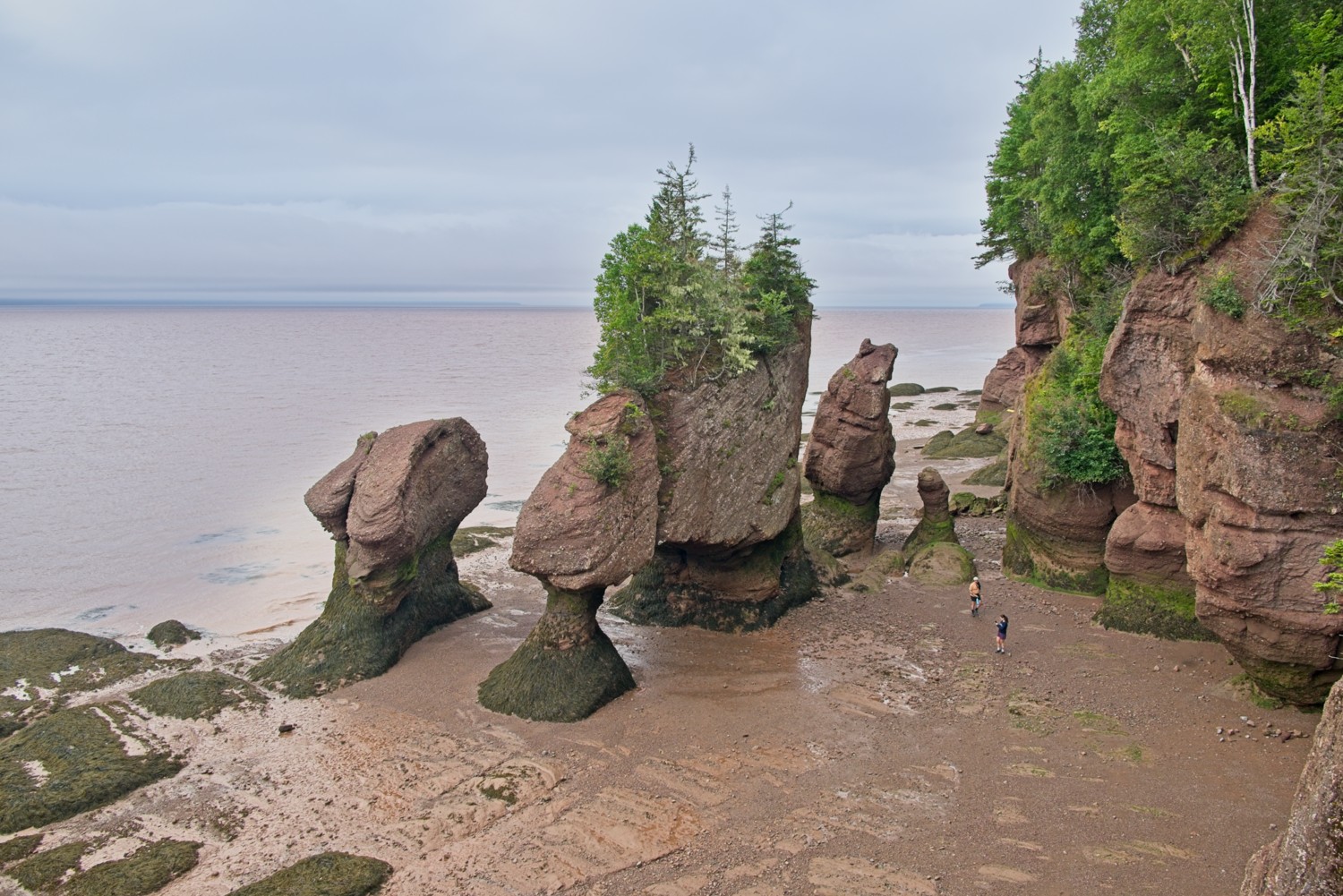 Lover’s Arch – the most iconic of the sea stacks at the bottom of Staircase Cove
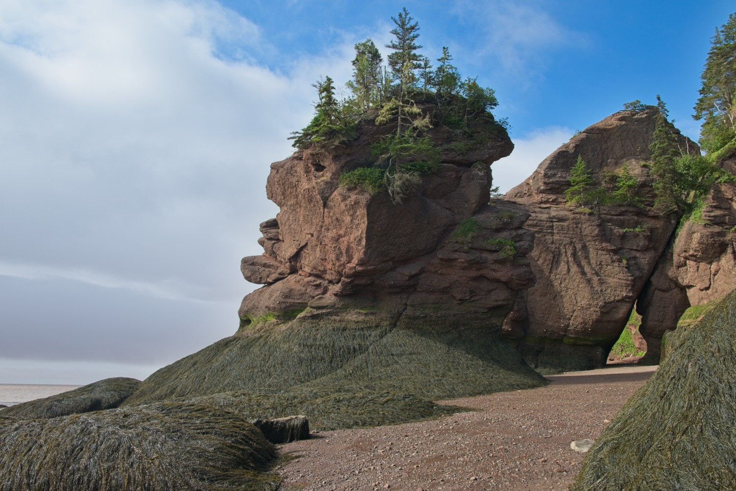 Face Rock
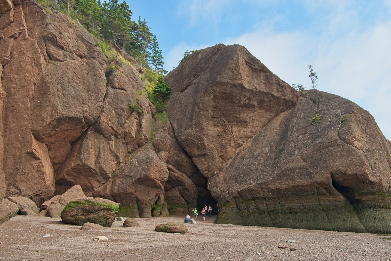 Diamond Rock
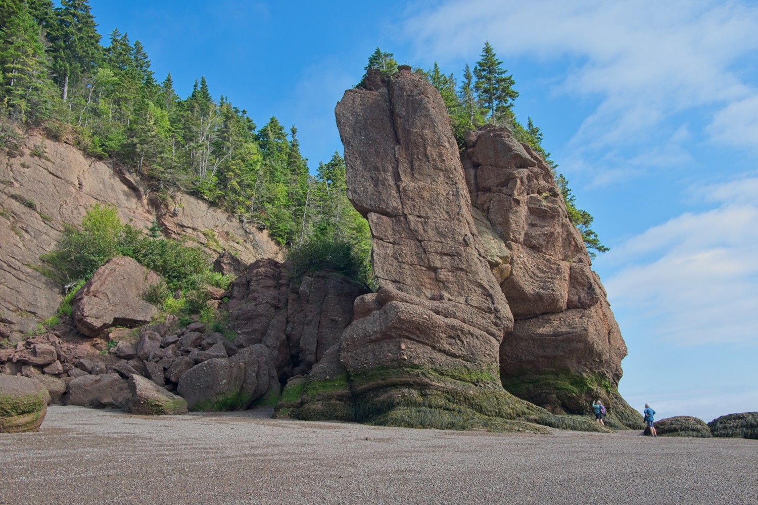 A large sea cave is hidden by the towering stacks
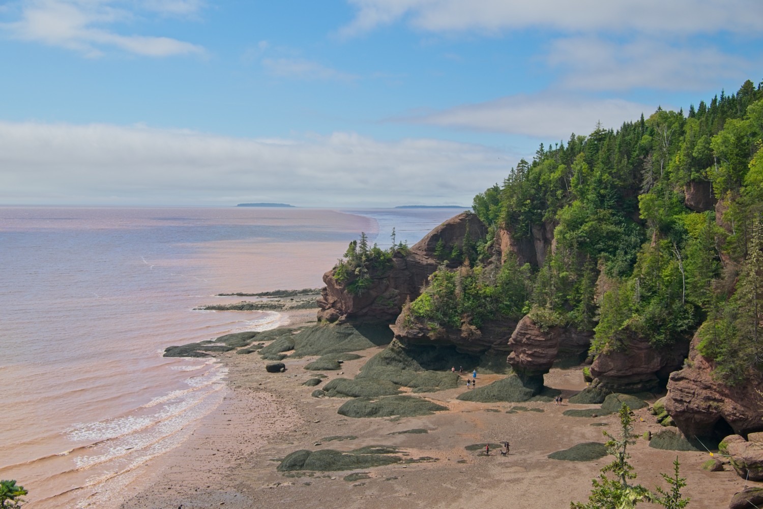 The last sea stacks at the end of the park, with the Daniels Mudflats visible in the distance
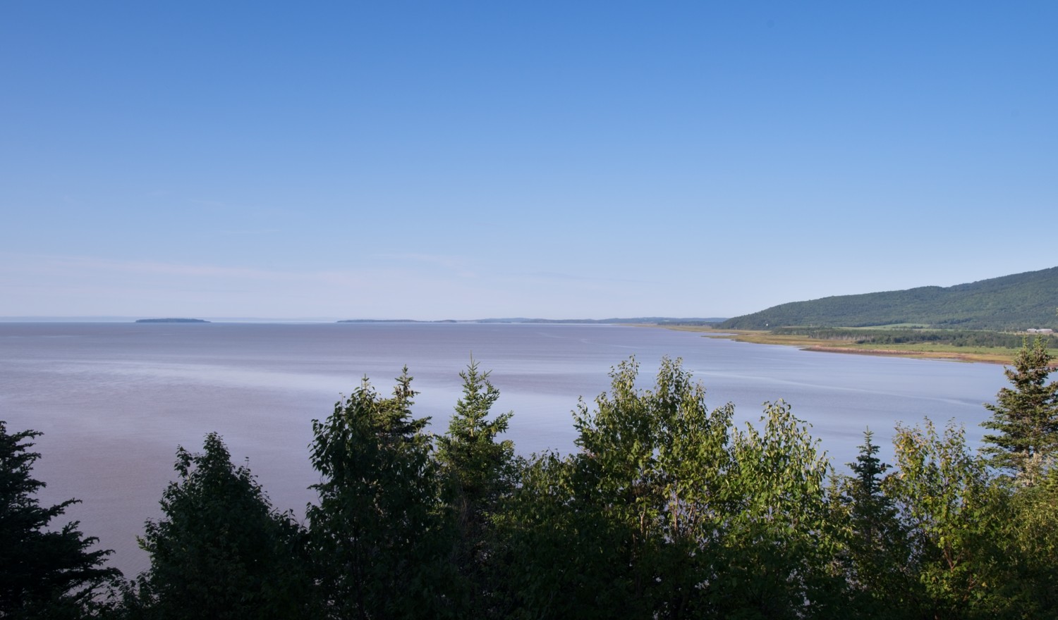
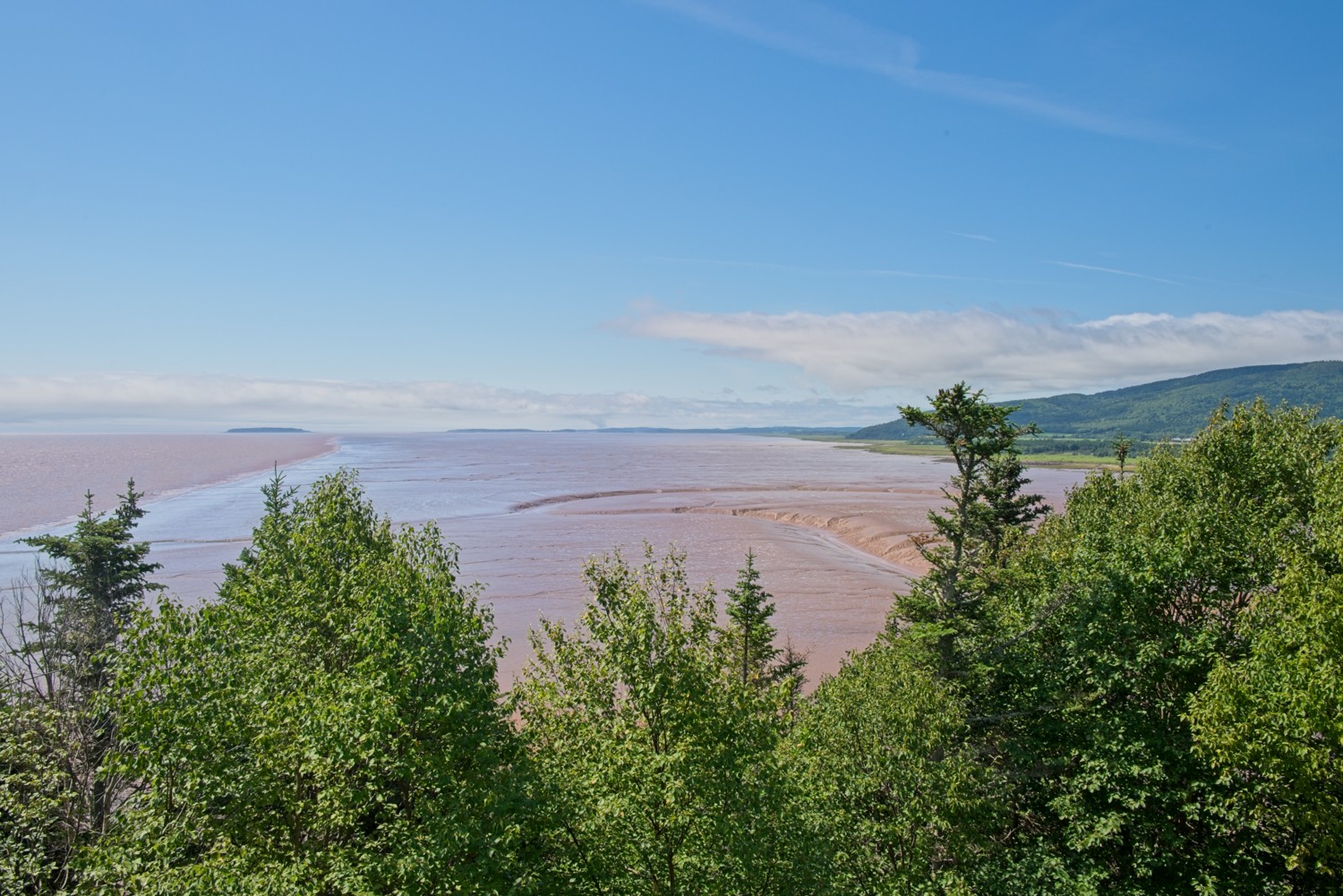 Daniels Mudflats – The shoreline recedes about 3 miles away from its high tide mark, revealing a vast mudflat
High Tide: The next morning we returned to the park one hour after high tide. The high tide had been lower than usual at around 33 feet, so more of the stacks were visible than usual.
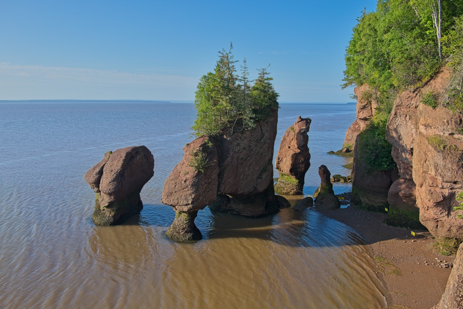 Lover’s Arch – currently no access to the stacks by foot
 Daniels Mudflats – this is the most dramatic view of the change in tides. The mudflats have completely disappeared. It only takes 6 hours to cover the 3 miles of mudflats.
Bay of Fundy National Park
Fundy National Park, New Brunswick’s first national park, was created in 1948 and sits on the Bay of Fundy coast. The park spans roughly 77 square miles of Acadian forest, rugged coastline, waterfalls, and 75 miles of hiking and walking trails.
Here are a few photos from our morning spent exploring the park.
Dickson Falls:
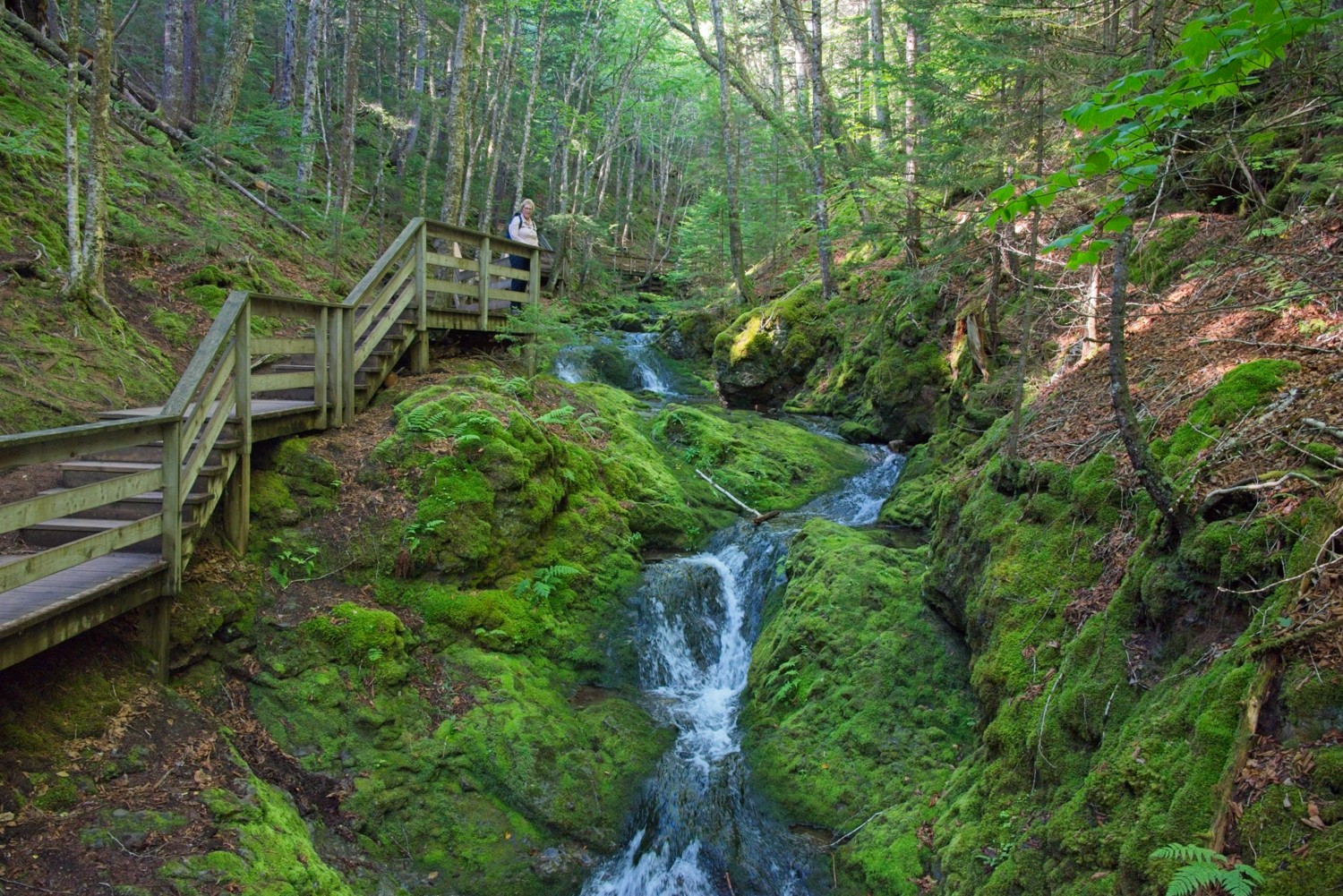 A wooden walkway winds through the woods past a lovely brook, downstream of the falls
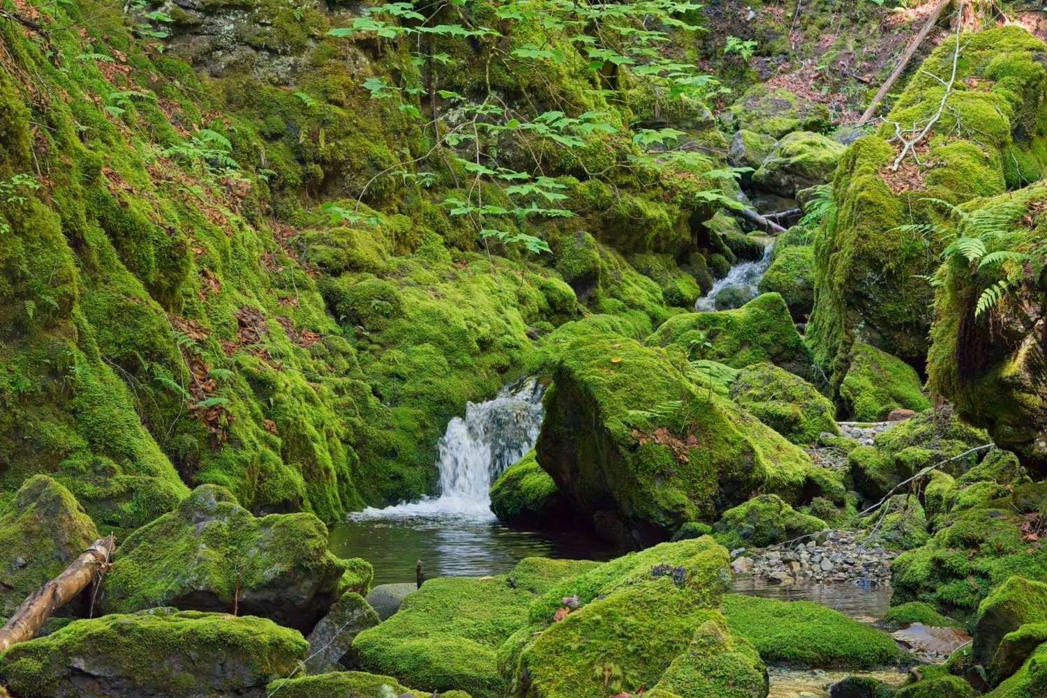 The green moss covered rocks add vibrant colour to the surroundings
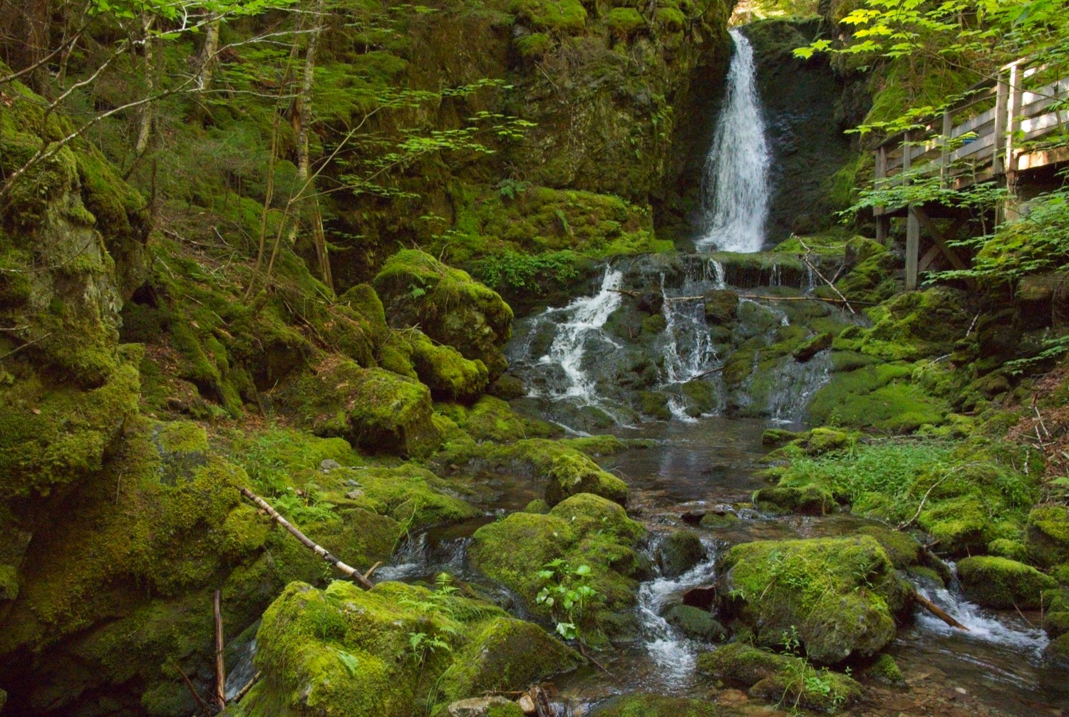 The 25 ft high Dickson Falls
Point Wolfe:
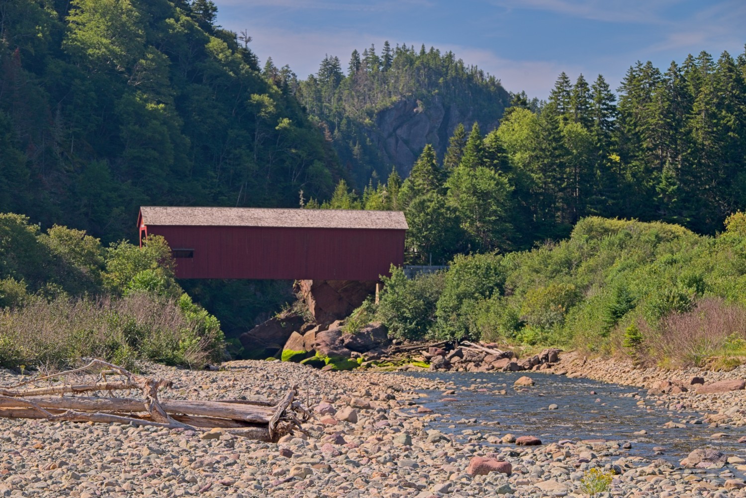 Fundy National Park is the only national park in Canada in which you can journey back in time by passing through a covered bridge, spanning the Point Wolfe River near where it meets the Bay of Fundy. Covered bridges have deep roots in Eastern Canada, especially New Brunswick, which has more covered bridges than anywhere else in the country.
The design came from European and American timber-bridge traditions, brought over by settlers in the 1800s. Covering a bridge wasn’t about protecting travellers from weather, it was about protecting the wooden trusses themselves. An uncovered wooden bridge exposed to rain and snow would rot and need replacing every 10-15 years; a covered one could last 80 years or more.
A covered bridge was built at Point Wolfe in 1909. In 1959, the old bridge had deteriorated and was replaced by a modern replica.
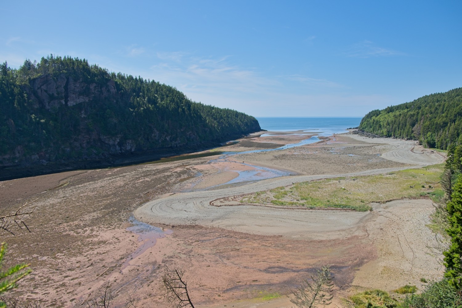 Point Wolfe Cove became the main settlement in the area, built around a sawmill at the mouth of the Point Wolfe River. In mid-1800s ships would sail up the cove at high tide to load timber from the mill, and the local shipbuilding industry produced several small schooners there too.
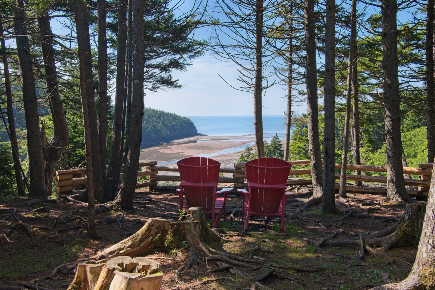 A stunning location for a pair of Adirondack chairs – overlooking Point Wolfe Beach
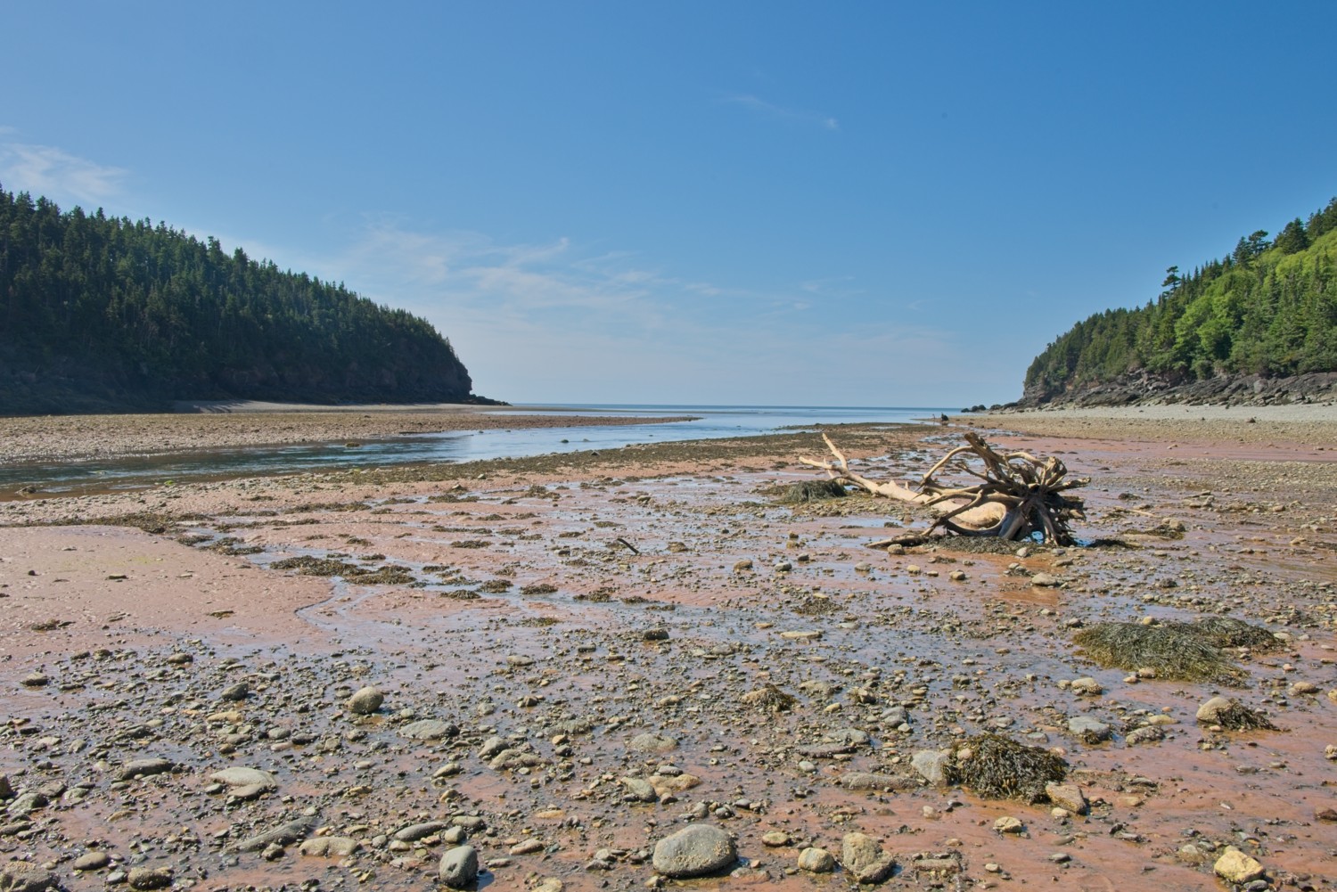 Walking on Point Wolfe Beach at low tide
Kouchibouguac National Park
Kouchibouguac National Park (pronounced ‘koo-shih-BOO-gwack’ or known locally as ‘Kouchi’) sits on New Brunswick’s eastern shore near the Northumberland Strait, covering about 90 square miles of dunes, salt marshes, bogs, and forest. It’s known for unusually warm swimming water (thanks to shallow lagoons and sandbars), the boardwalk at Kellys Beach, easy cycling and hiking trails and kayaking through the lagoons.
We explored and hiked three very different parts of the park.
The Bog Trail:
The Bog Trail offers a quiet walk through one of New Brunswick’s most unusual landscapes; a dome-shaped peat, bog thousands of years in the making. At the centre of the dome is an accumulation of Peat approximately 20 feet thick. It contains cold, acidic, oxygen-poor water that slowly killed off the surrounding trees, leaving behind a stark, open world of sphagnum moss, stunted black spruce, and carnivorous pitcher plants. A boardwalk leads visitors out over the soft, spongy ground to an observation tower, where the bog opens up in every direction.
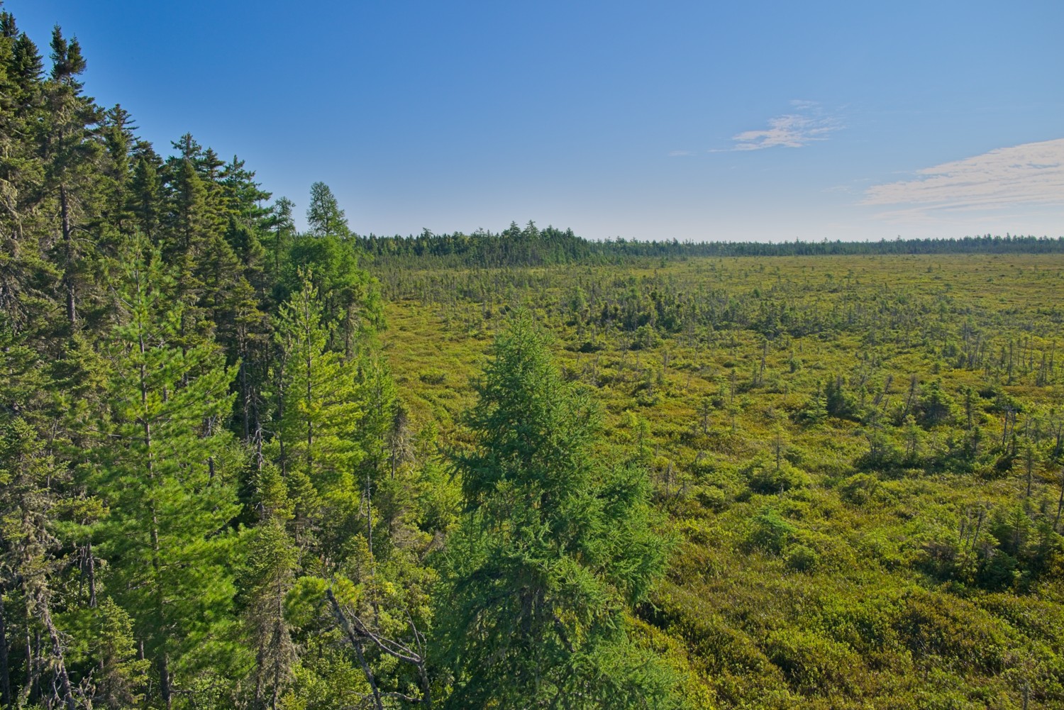 The Bog is slowly killing off the surrounding trees
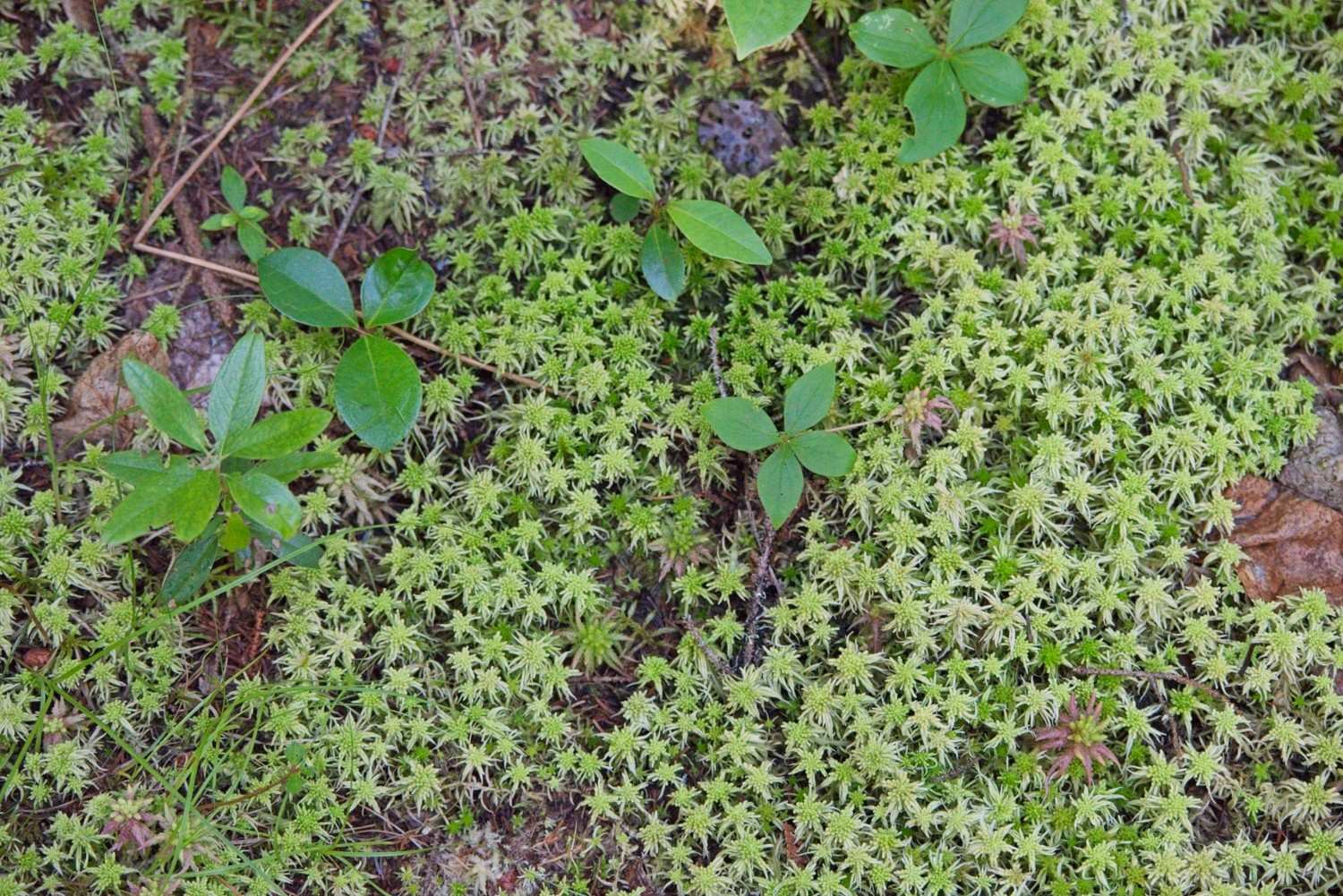 Sphagnum Moss, with its specialised water-retaining cells can soak up to 25 times its own weight in water.
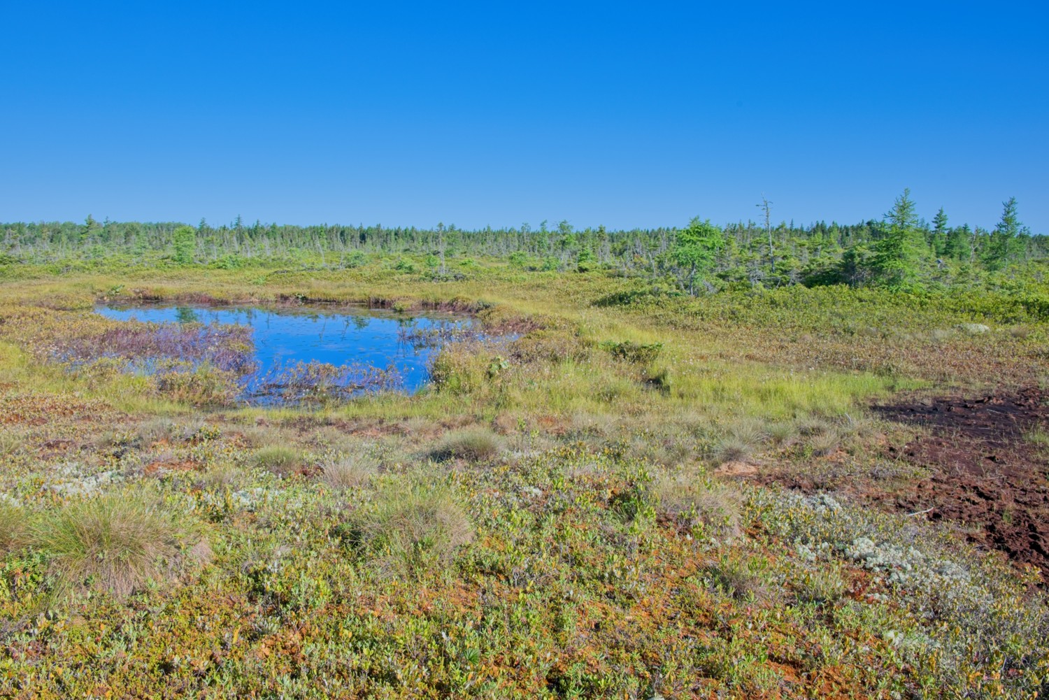 This pond is proof of the water-retaining properties of Sphagnum and Peat. There is no river or spring feeding the pond – the water comes from the sky.
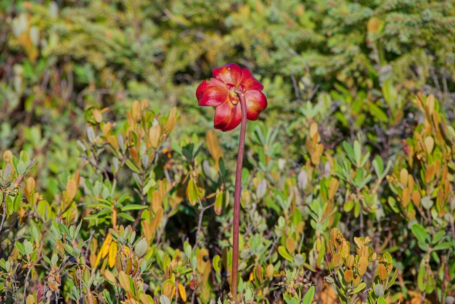 Flower of a Pitcher Plant. The plant consumes insects for nutrients.
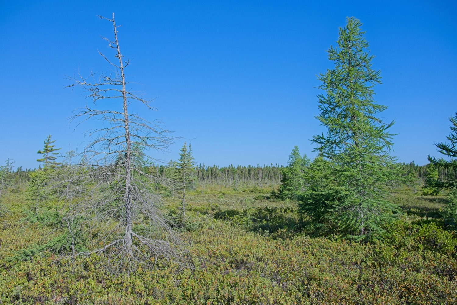 The stunted Black Spruce cannot grow any taller in this bog ecosystem
Kellys Beach:
Located within the park is Kellys Beach featuring salt water swimming, golden sand dunes, and access via a 1,500 ft long boardwalk crossing tidal lagoons and salt marshes. The beach lays on the eastern side of the 15 mile long South Kouchibouguac barrier dune system, separating the open waters of the Northumberland Strait, which separates New Brunswick and Price Edward Island, and the Gulf of St Lawrence, from the sheltered lagoon behind it.
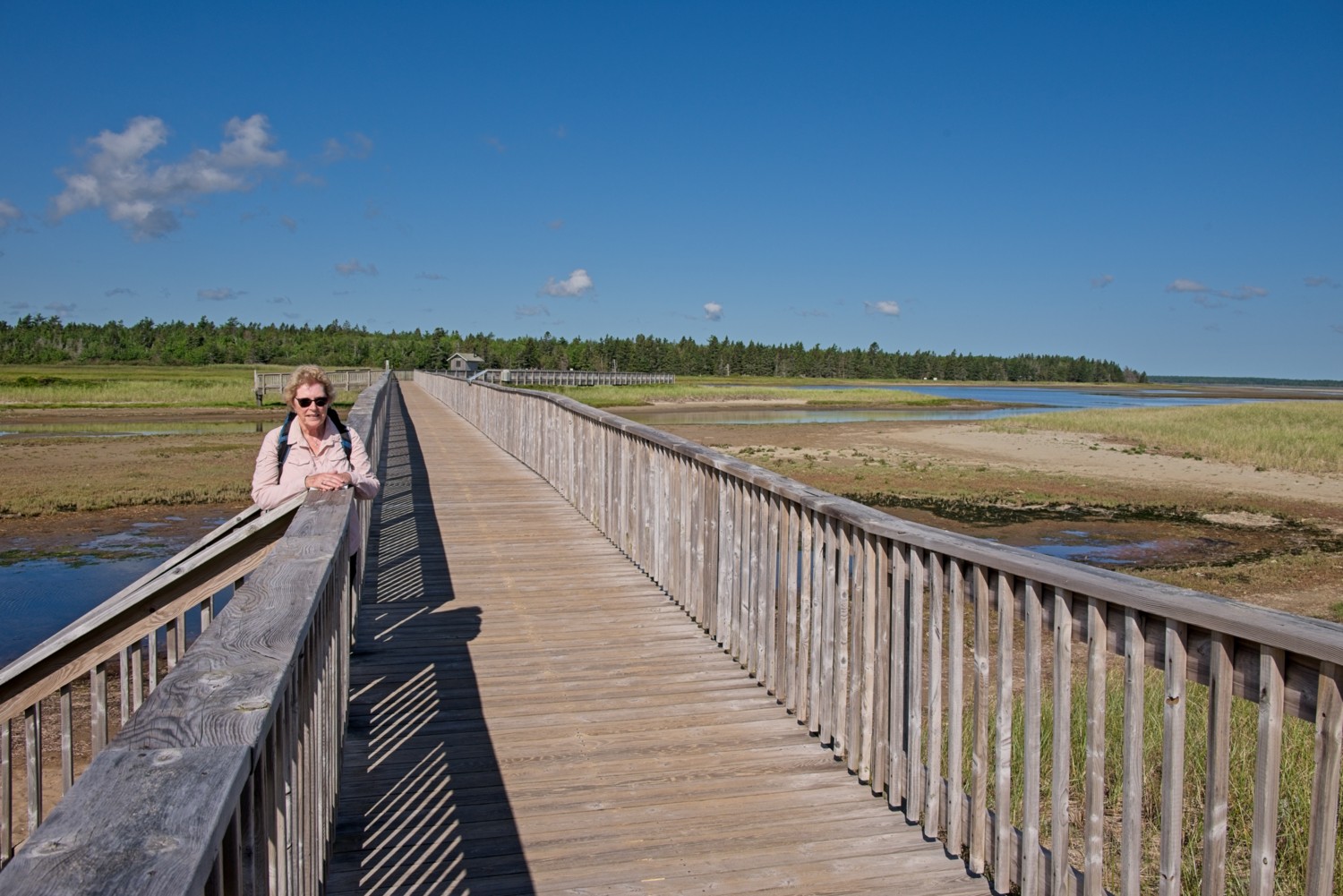 The 1,500 ft boardwalk
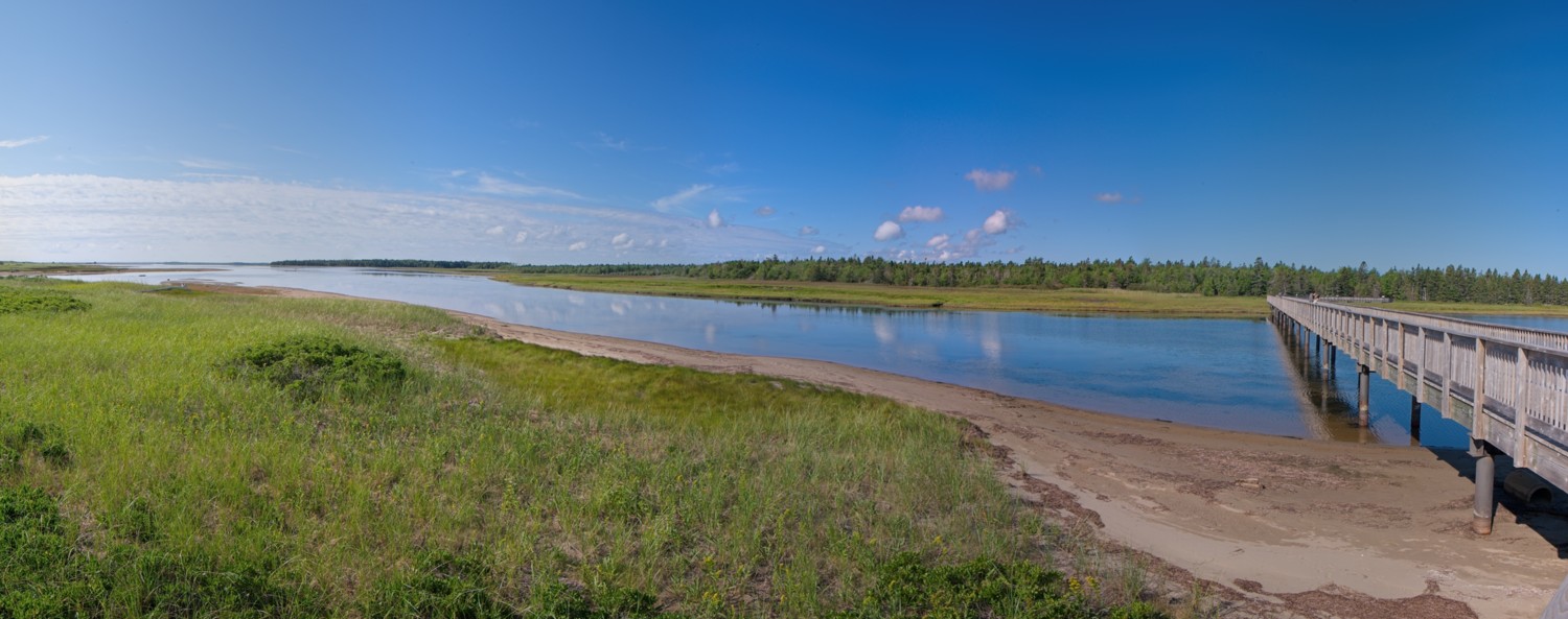 A panoramic view of the Saint-Louis Lagoon from the Boardwalk looking south
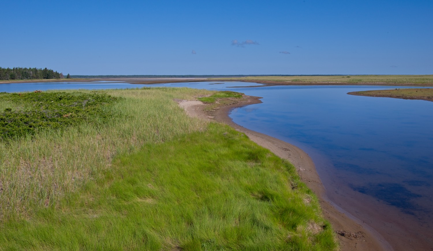 Salt marshes surround the lagoons
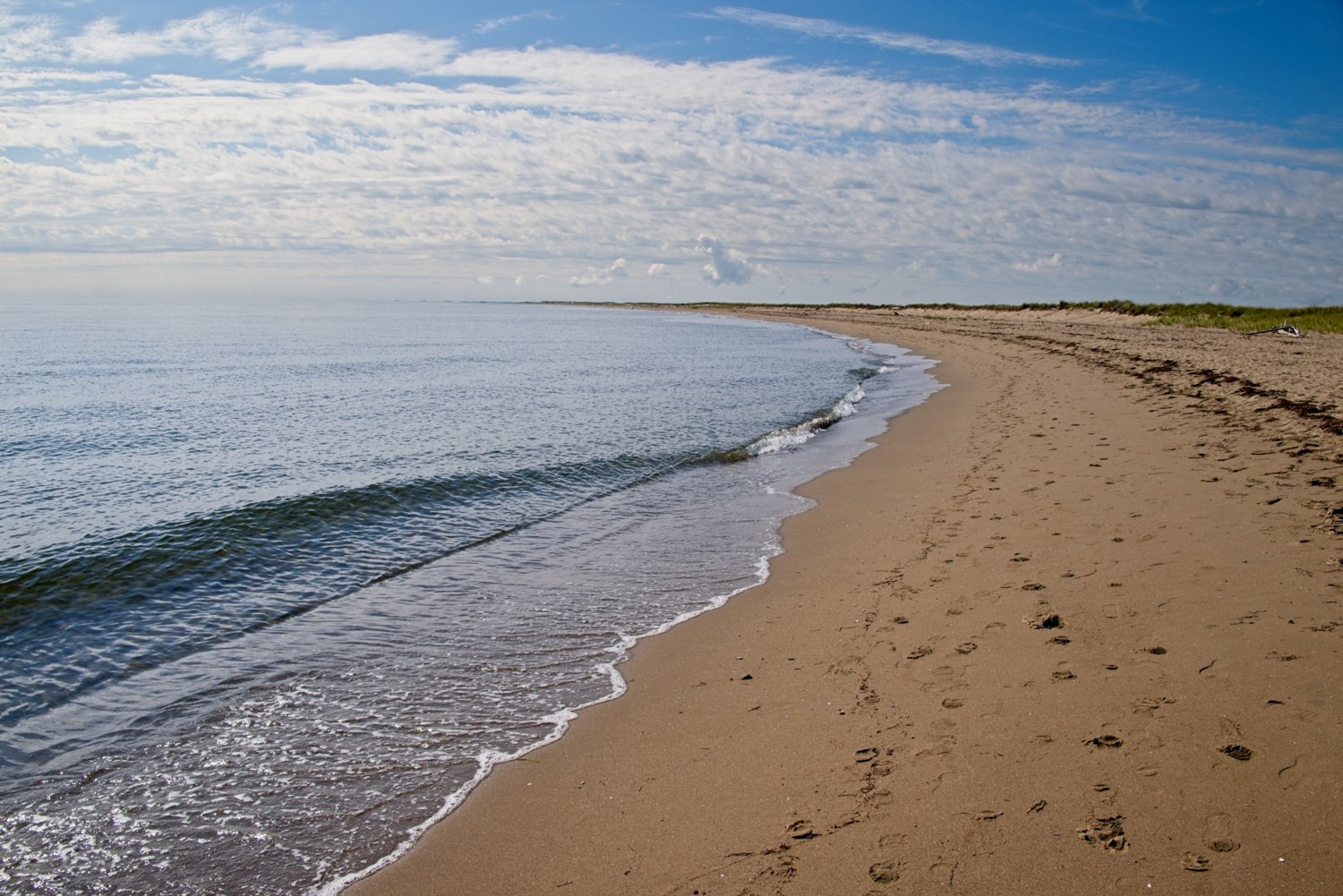 Kelly’s Beach at the head of the sweeping 15 mile long South Kouchibouguac Dune
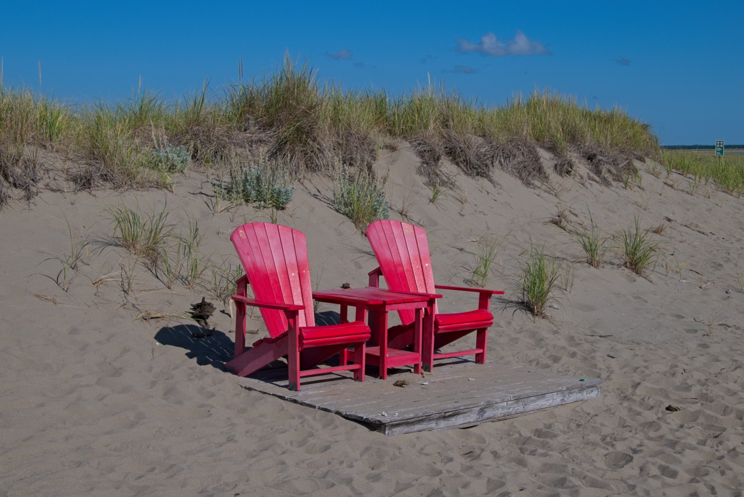 A perfect spot to relax in the dunes!
Osprey Trail:
Located on meandering shoreline of the Black River, the Osprey Trail winds through mixed forest before opening onto views of the Kouchibouguac Lagoon and estuary, where ospreys and bald eagles can often be seen diving for fish. The trail offers glimpses of shorebirds along the shore and a sweeping view from the tip of the Black River Peninsula, a peaceful, out-of-the-way corner of the park.
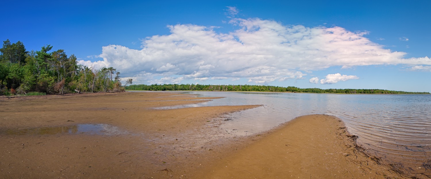 Panorama of the Kouchibouguac Lagoon
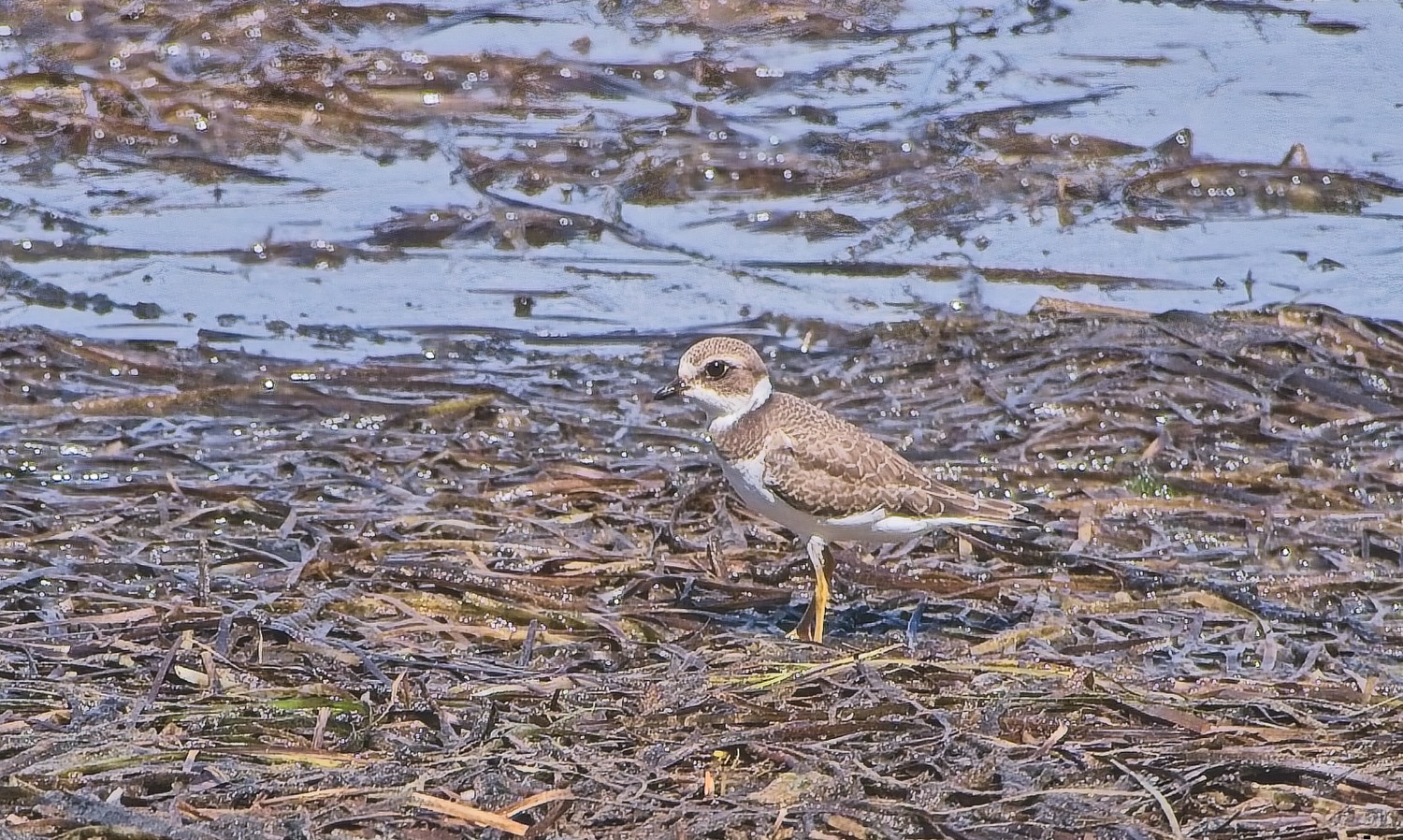 This small Piping Plover shorebird is only around 7 inches long, approx the size of a Sparrow
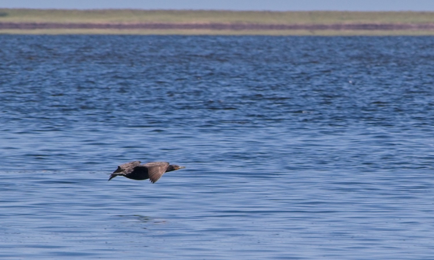 Double Crested Cormorant is the most common variant of Cormorant in Canada
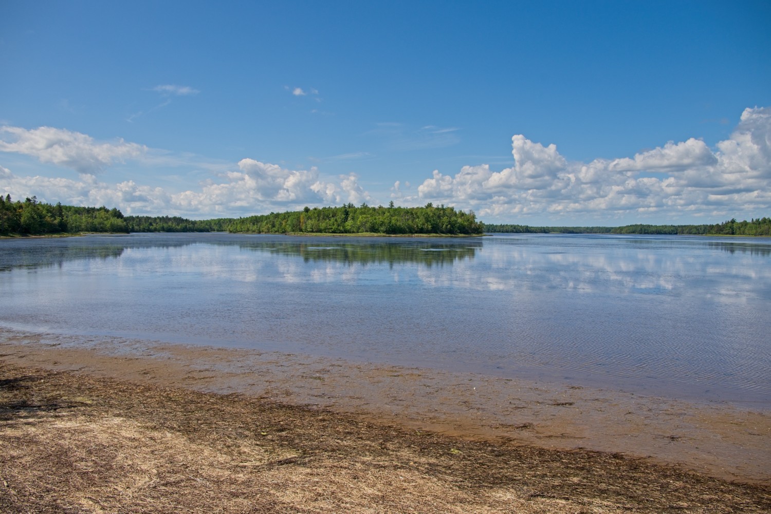 Black River estuary
The next day we left New Brunswick and headed across the 8-mile long Confederation Bridge to Prince Edward Island.
Charlottetown, Prince Edward Island (PEI)
As the birthplace of the Canadian Confederation, Charlottetown is PEI’s charming capital, featuring distinctive red-sandstone architecture and Victorian streetscapes. The city sits on a natural harbour, with easy access to the island’s famous red-sand beaches, rolling pastoral landscapes, and the gentle coastal scenery that inspired Lucy Maud Montgomery’s Anne of Green Gables. PEI is also Canada’s smallest province.
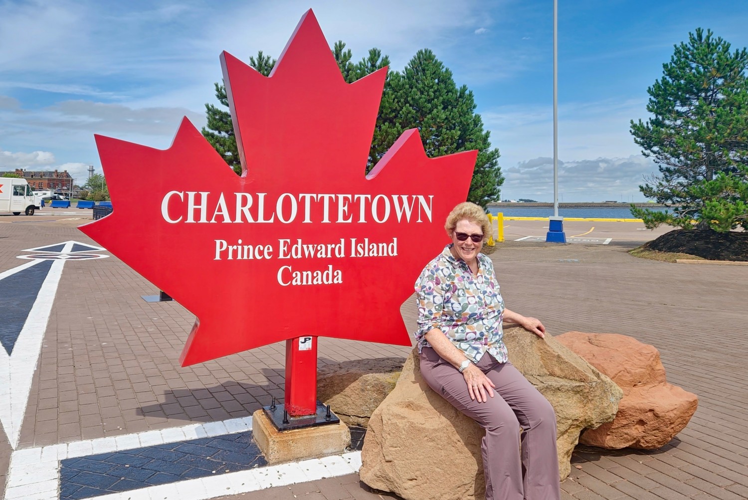 This town is not big enough for the both of us!
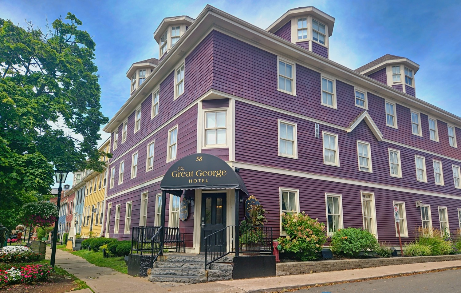
Great George Street typifies the Old Town, with a row of Victorian and Georgian townhouses painted in mustard yellow, deep red, sage green, and slate blue. We stayed in the Great George Hotel, which is made up of 5 townhouses along the street.
Anne of Green Gables
Lucy Maud Montgomery, the Author of the Anne Of Green Gables, was born on PEI. Canada, and particularly PEI, goes mad for the Anne of Green Gables brand. Anne of Green Gables is core to the island’s tourism industry. Green Gables Heritage Place draws hundreds of thousands of visitors a year, and there’s a whole trail of Anne-related sites, gift shops, and themed attractions across the island.
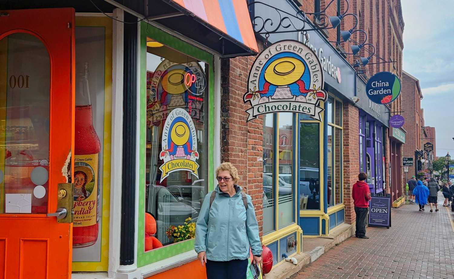
Charlotte gets her first ‘taste’ of the Anne of Green Gables brand!
The musical Anne of Green Gables has run at the Charlottetown Festival every summer since 1965, making it one of the longest-running annual musicals in the world. And, there have been many TV adaptations. Of course there is also the huge range of licensed merchandise, with everything from chocolate boxes to clothing to souvenirs, to satisfy the many fans. Charlotte was an avid fan in her teens and read all the books. So the next day we of course had to visit….
Green Gables Heritage Place is a Parks Canada historic site in Cavendish – about 30 minutes drive from Charlottetown. It’s the farmhouse that inspired the setting for Lucy Maud Montgomery’s Anne of Green Gables, once owned by Montgomery’s relatives. The farmhouse is now a museum, restored and furnished to look like the fictional Anne’s home, with period rooms you can walk through. There are surrounding trails, including the “Haunted Wood” and “Lovers’ Lane,” which Montgomery actually walked and wrote into the books. And a visitor centre with exhibits on Montgomery’s life and the novel’s global legacy.
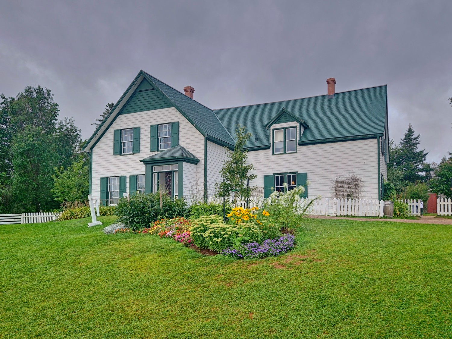
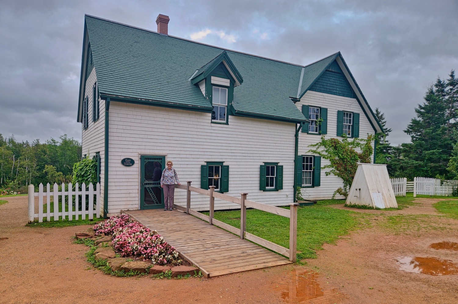
The restored farmhouse
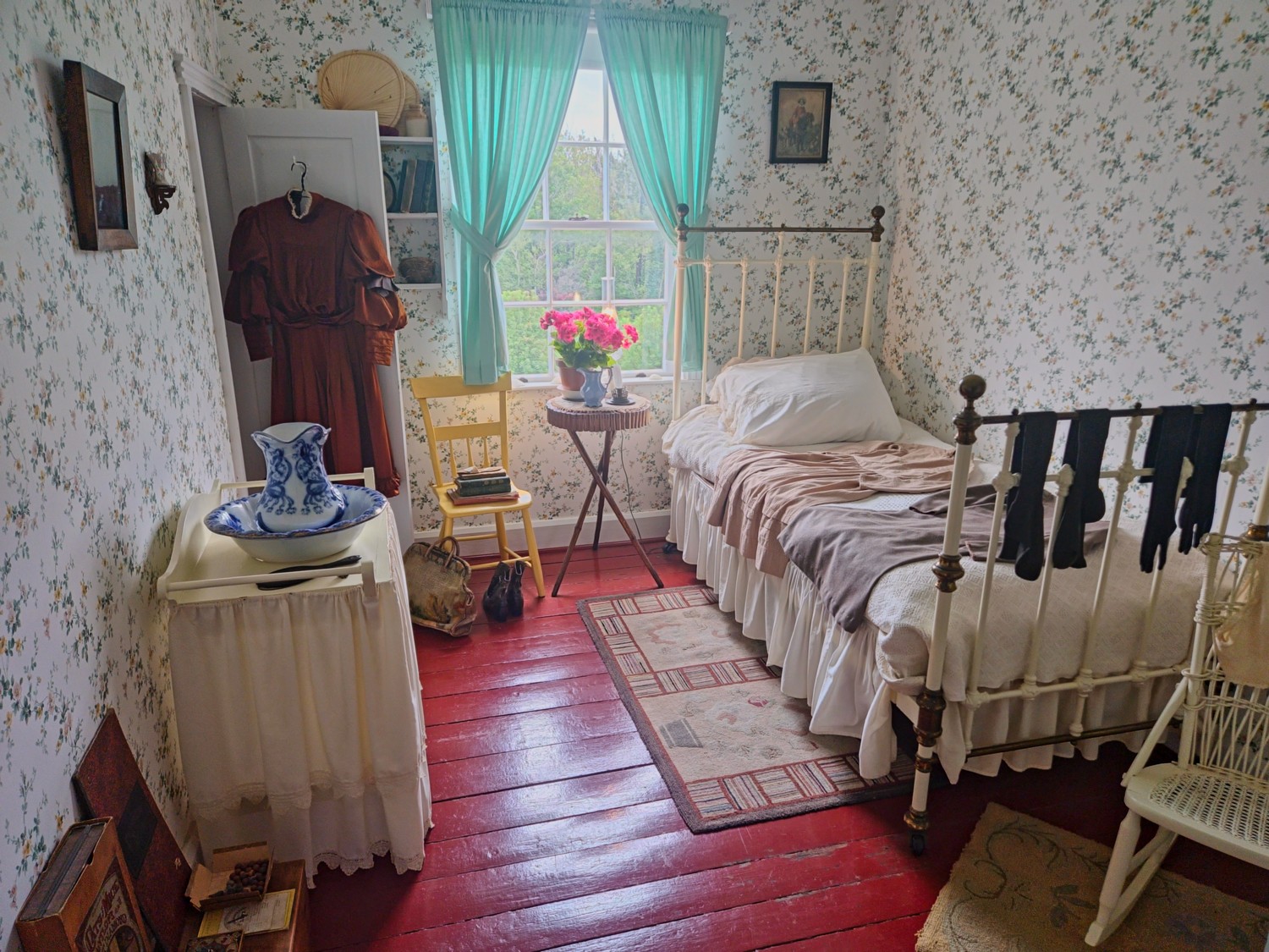 Anne’s bedroom
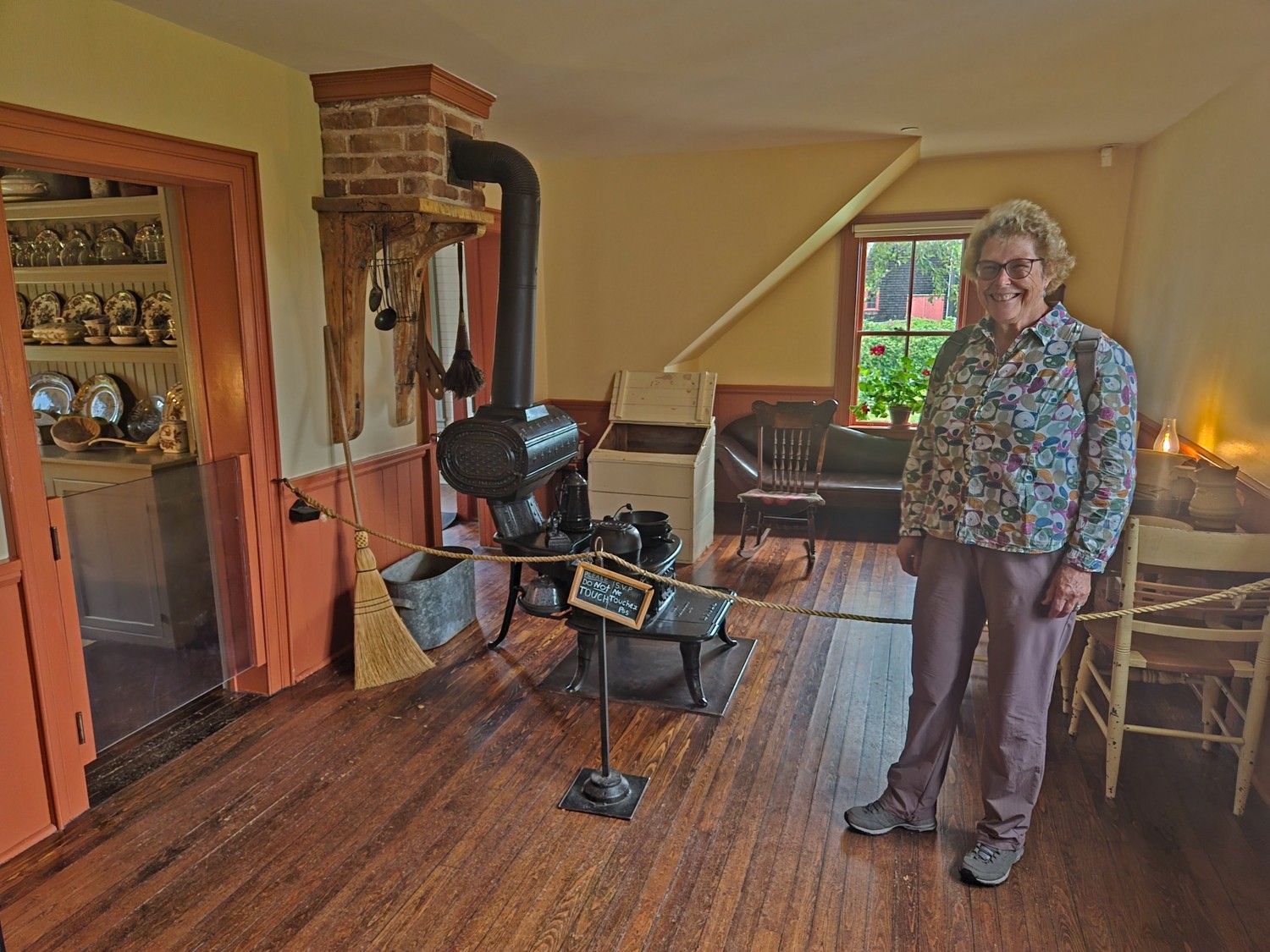 Kitchen
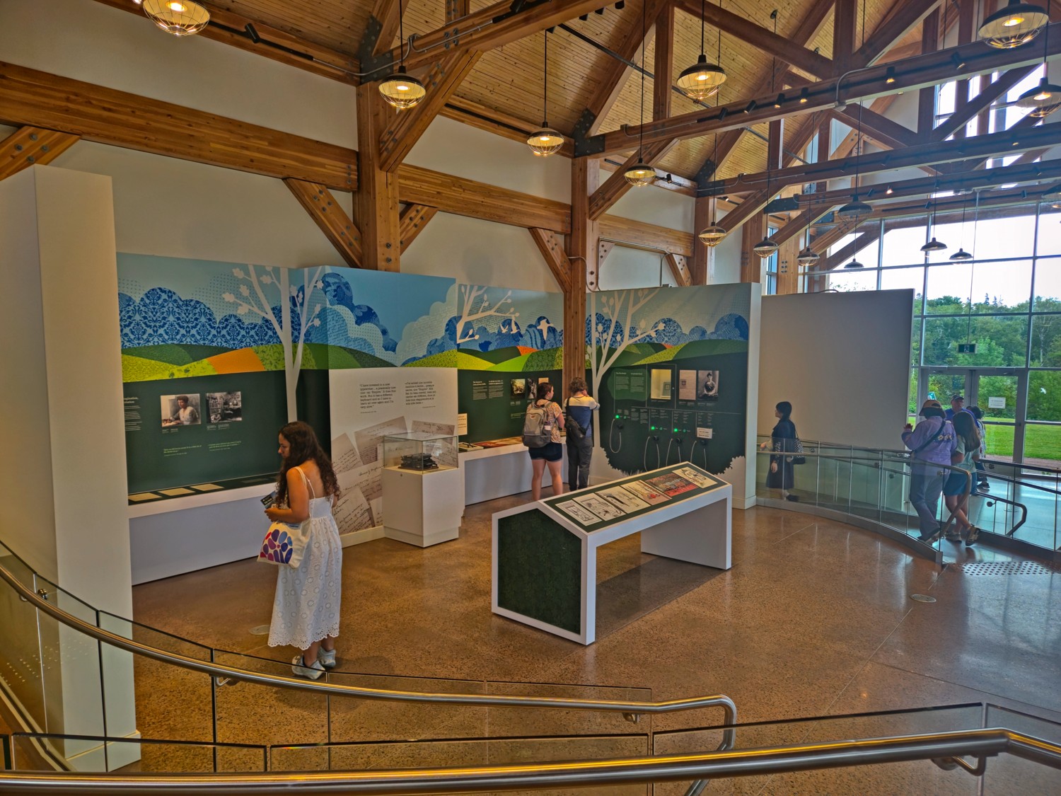 Visitor Centre
Finally to complete our Green Gables experience we went to see the Musical in Charlottetown that evening!
Prince Edward Island National Park
The park stretches about 35 miles along the island’s north shore in a few separate sections between Cavendish and Greenwich, known for its red sandstone cliffs, dune systems, and sandy beaches like Cavendish and Brackley. It draws visitors for summer swimming, coastal trails and boardwalks (including the floating boardwalk through the Greenwich dunes), and birdwatching, since piping plovers nest here; the Cavendish section also contains Green Gables Heritage Place.
We took some lovely walks along the Stanhope and Dalvay Beaches.
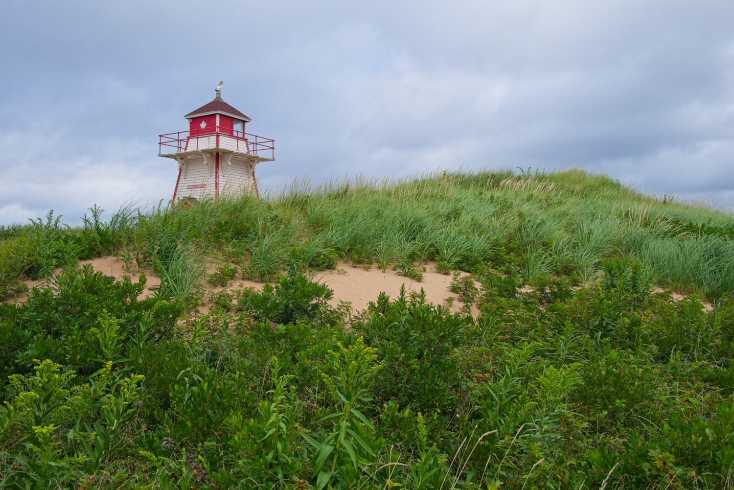 Covehead Lighthouse behind the dunes on Stanhope Beach
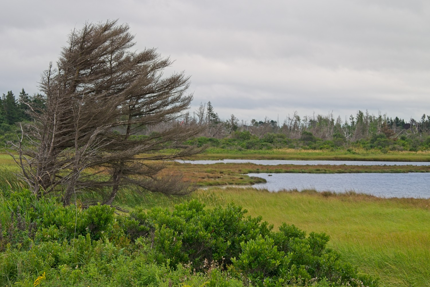 It wasn’t windy on the day of our walk, however, this tree suggests the winds are often very strong and have an impact on the environment as they blow across the dunes, lagoons and inland lakes.
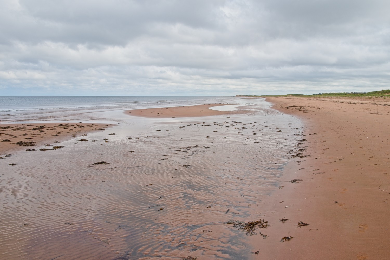 The deserted 3-mile long Dalvay Beach
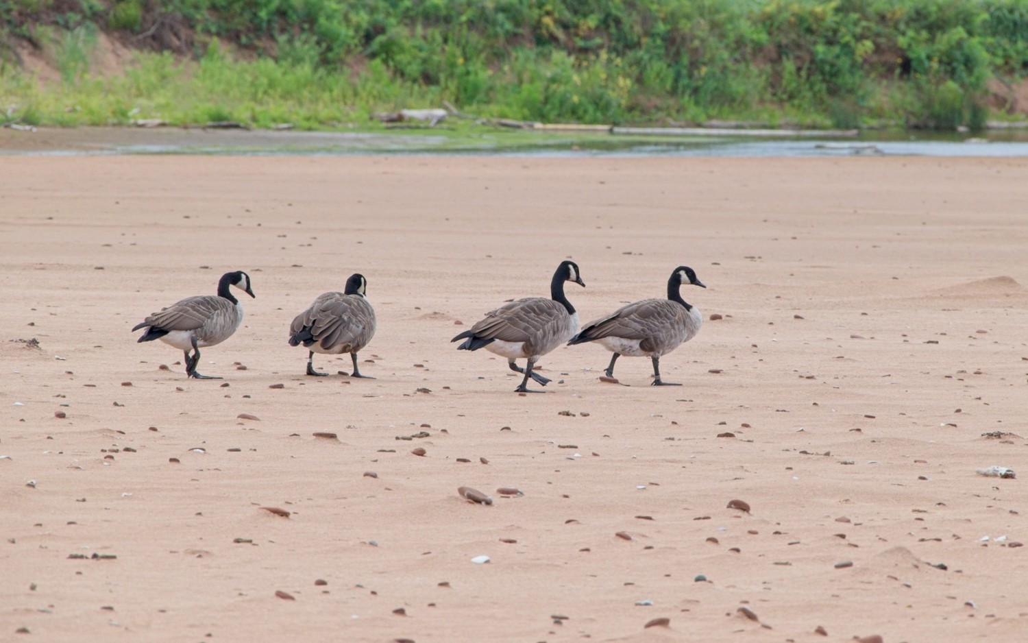 We were not the only ones walking on the beach – these Canadian Geese were enjoying a stroll!
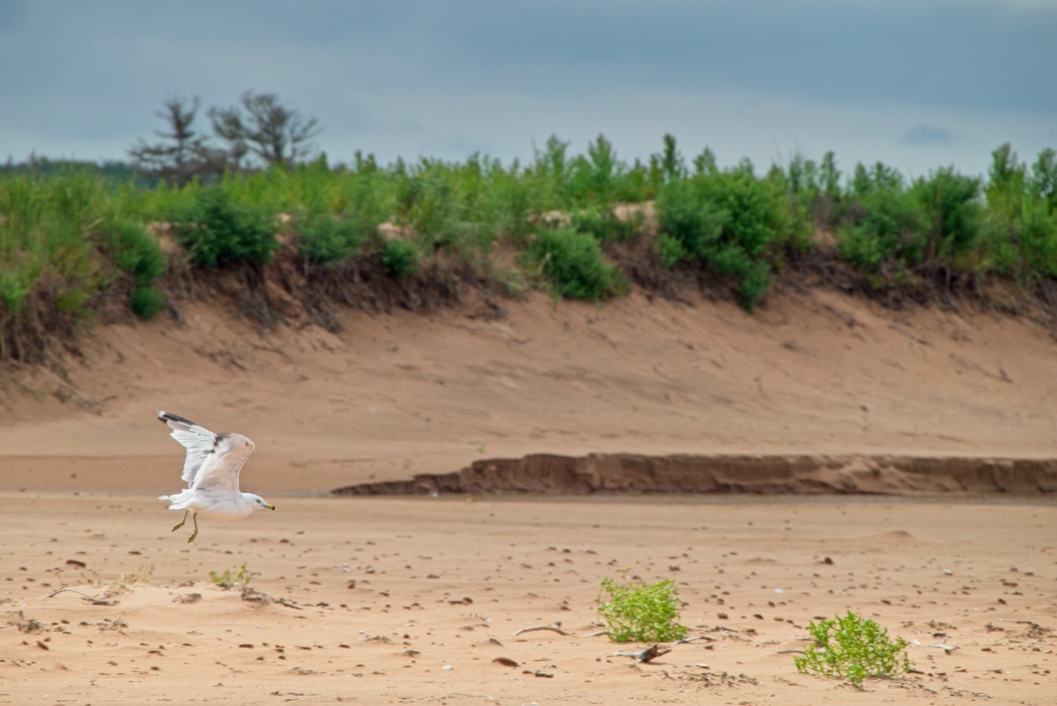 Ring-billed Gulls were also around the beach
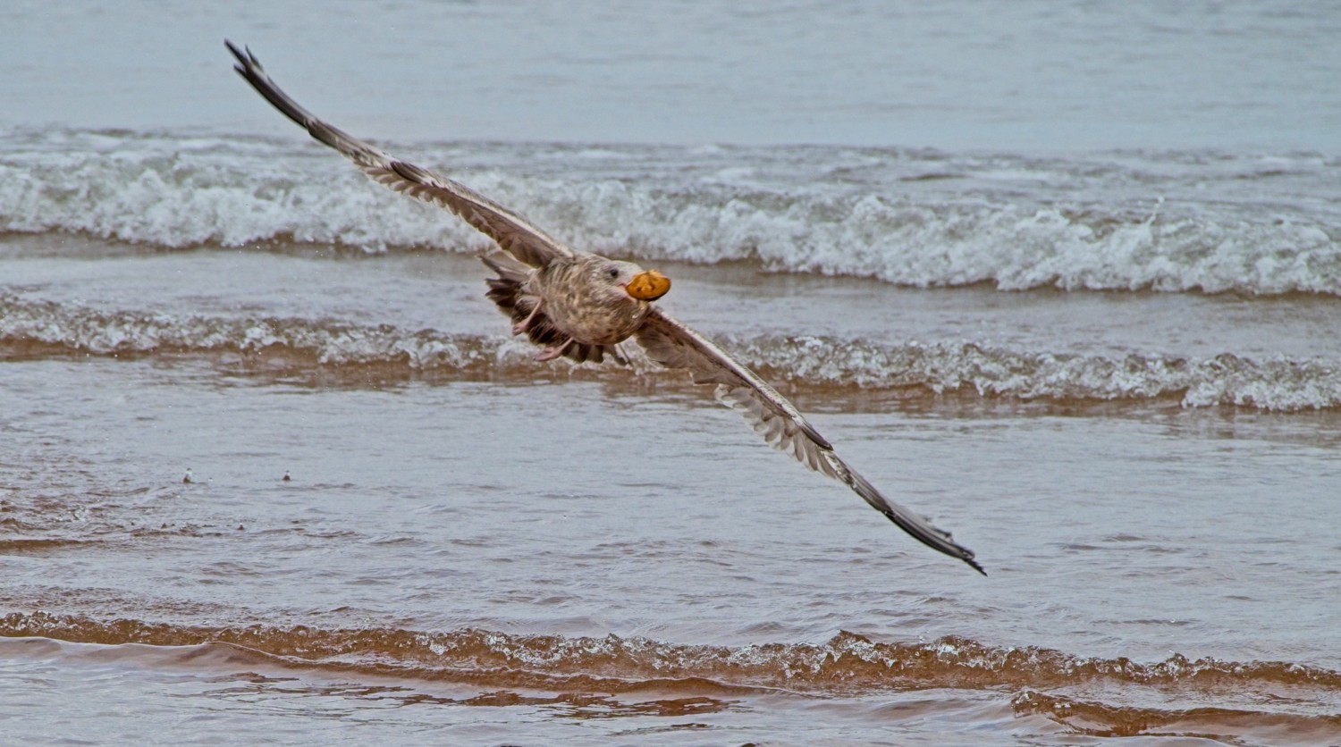 This juvenile Ring-billed Gull had been fishing, however, we were not sure what the catch was. Maybe it was still learning!
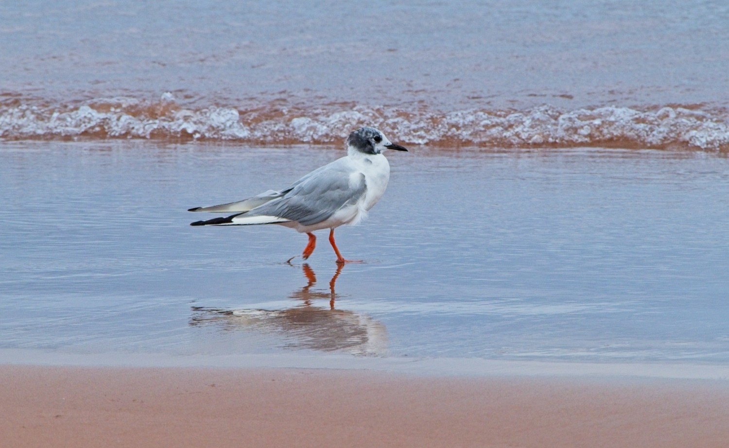 A younger Bonaparte’s Gull wading on the beach. They are a smaller, more delicate looking gull.
That takes us to about half-way around our Canadian Atlantic road trip. Part 2 to follow….

