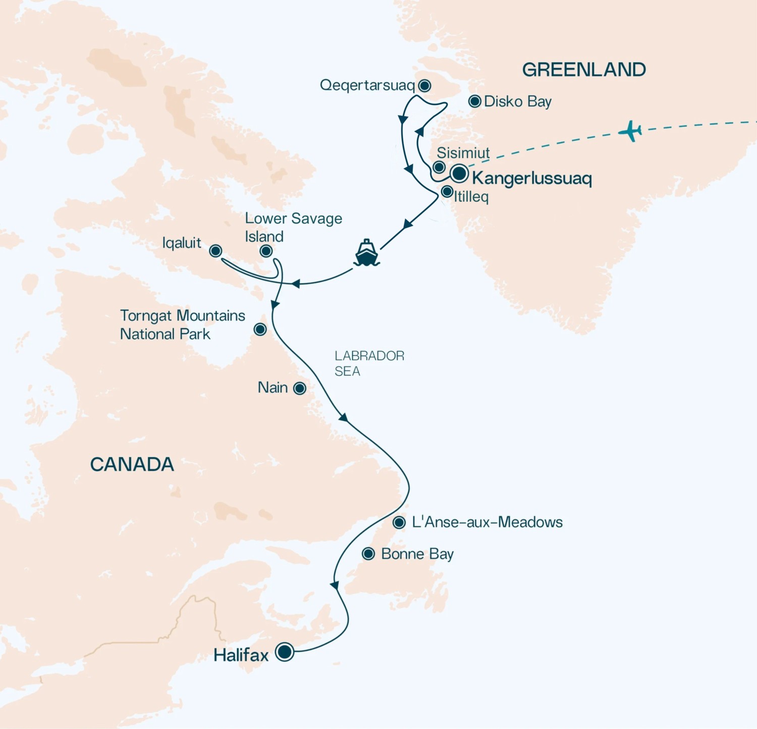
The last part of our holiday was a 2-week Arctic cruise on the Swan Hellenic 150-passenger ship, SH Vega, from Greenland to Canada providing a unique glimpse into the Arctic world and its pristine landscape.
Here are the highlights from the cruise.
SH Vega
Named after the first ship to cross the Arctic Northeast Passage, SH Vega was designed to journey to faraway places and remote polar regions.
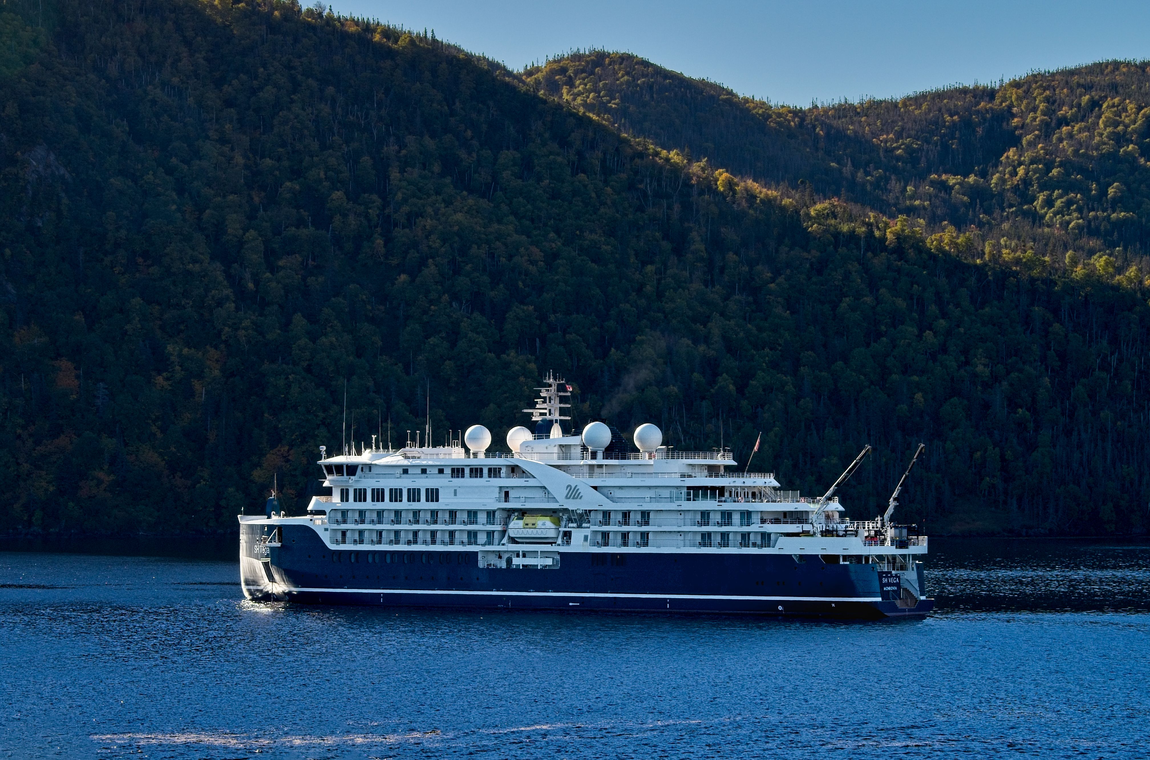 SH Vega
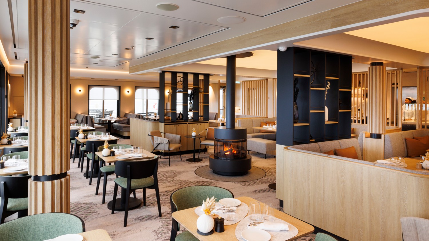 Club Lounge
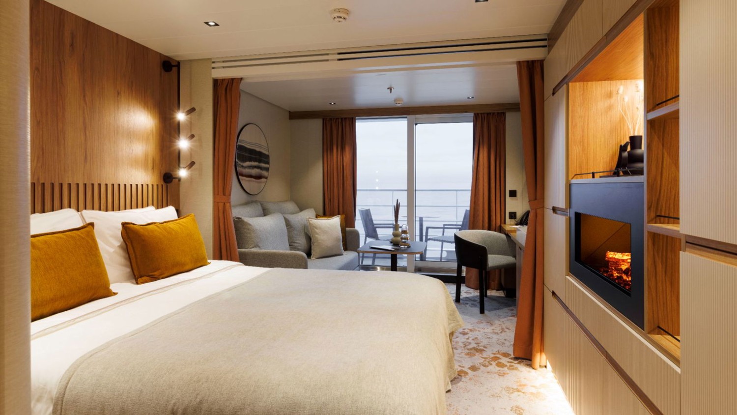 Our Cabin
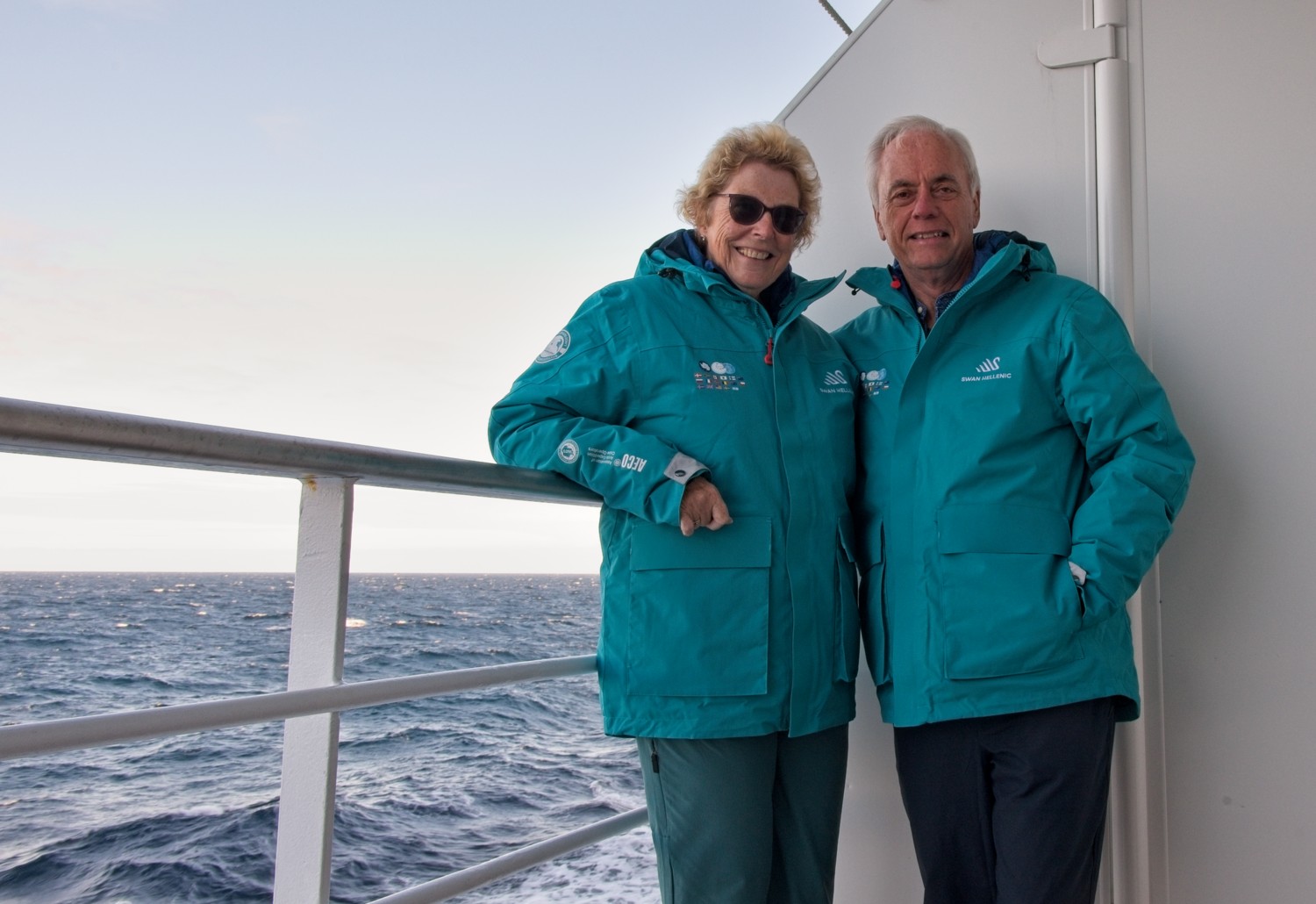 Each passenger is given a Swan Hellenic expedition Polar Parka. The distinctive colour means they can always find us when we are ashore!
Kangerlussuaq, Greenland
(kang-uh-LOOSS-oo-ak, often referred to as ‘Kanger’, meaning the long fjord)
Situated at the head of a 100-mile-long fjord, Kangerlussuaq is Greenland’s primary air transport hub and offers unique access to the Greenland Ice Sheet. This former American military base sits in a rare ice-free zone where Arctic tundra meets the vast ice cap. This was our port of embarkation, following a charted flight from Reykjavík, Iceland.
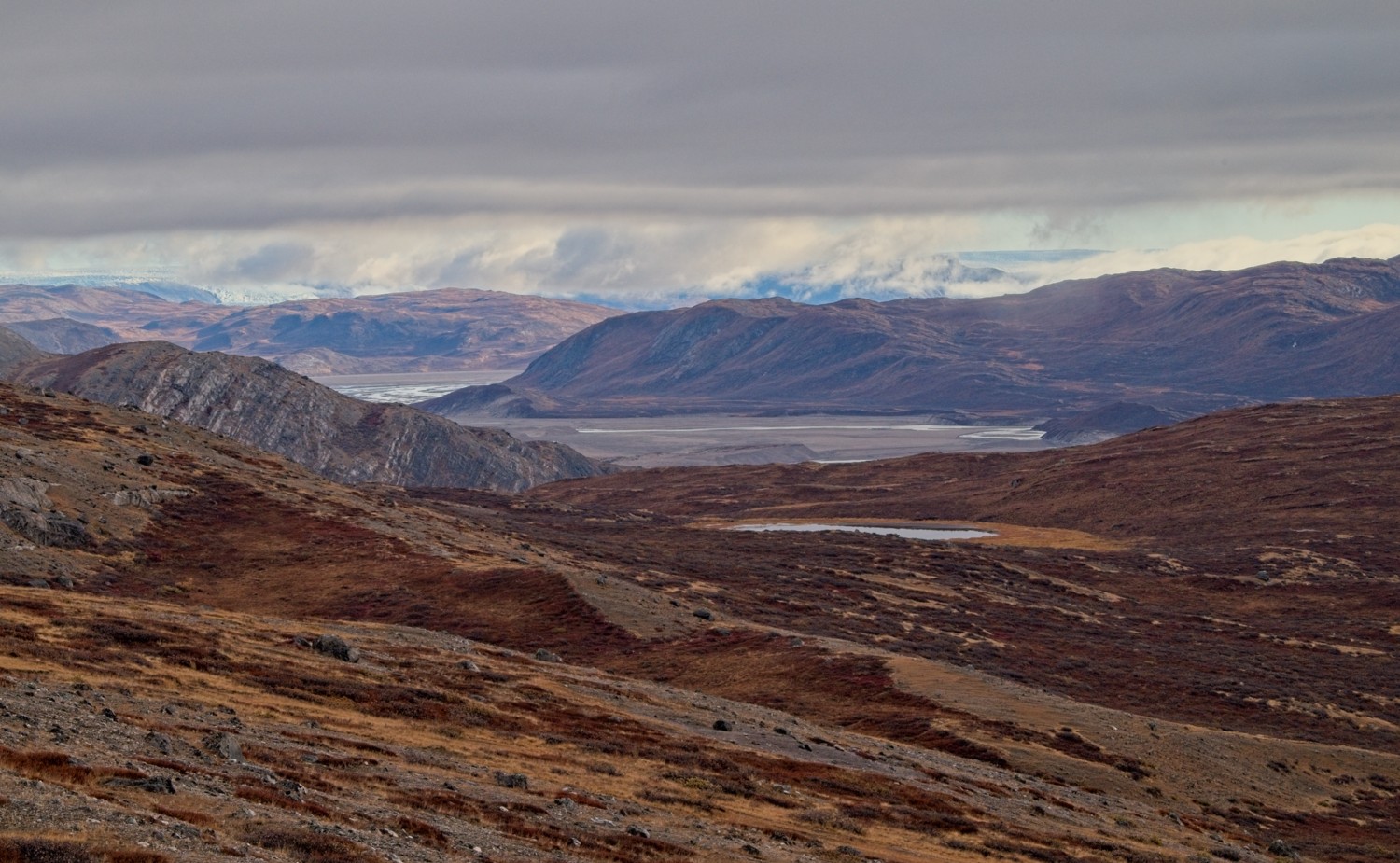
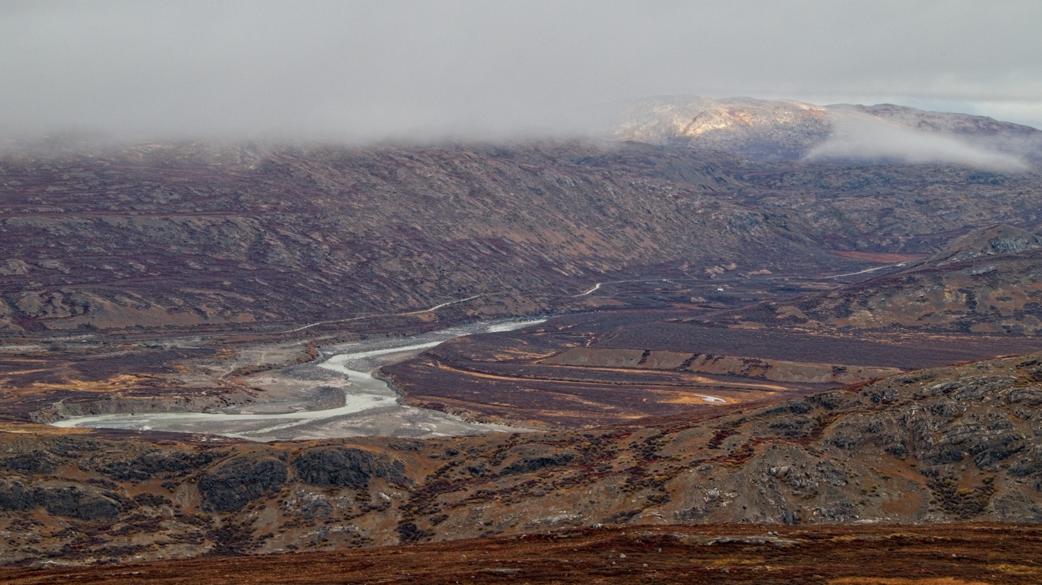 On route to the ship we were given the chance to see some of the dramatic landscape around Kangerlussuaq
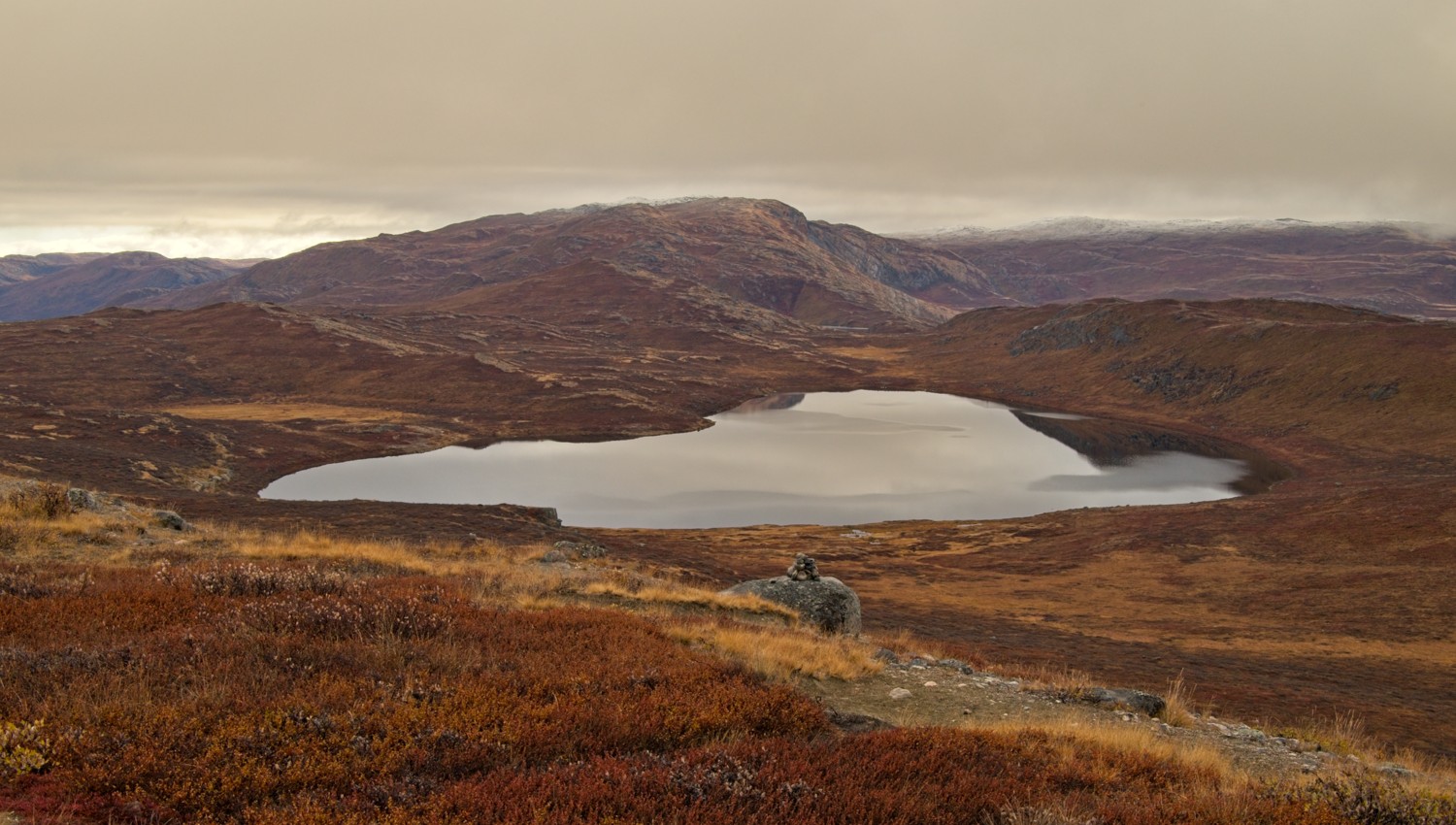 The lake is salty due to the sediment from the melting glaciers, which attracts animals to drink from the lake
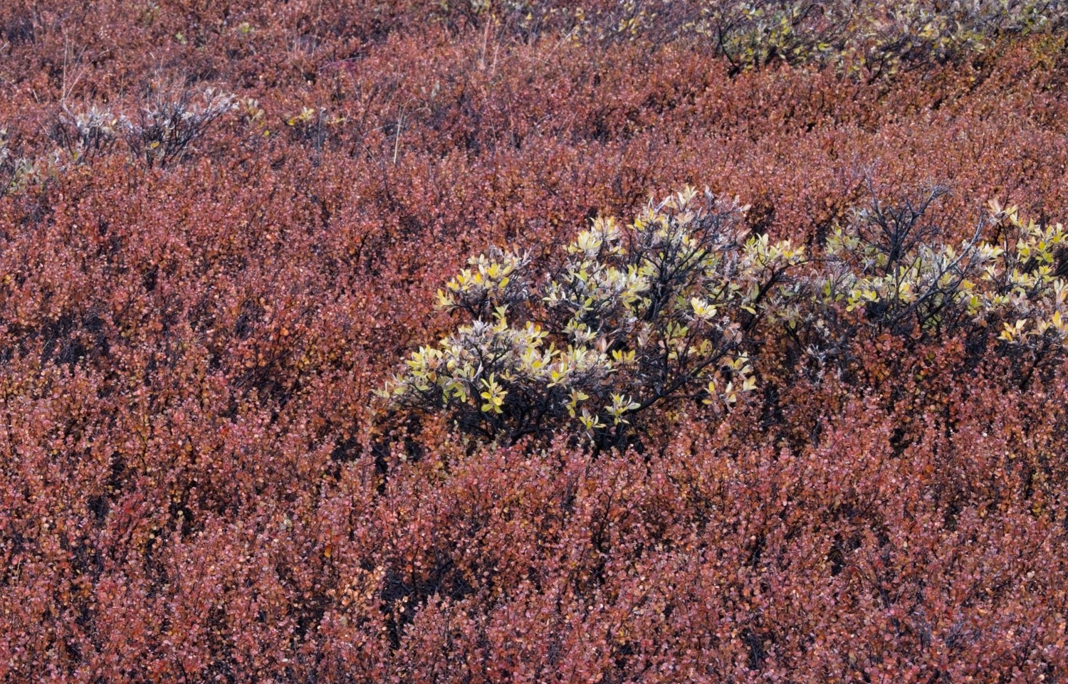 Greenland has two main types of tree, the red Arctic Willow and the Green/Yellow Arctic Birch, which is Greenland’s tallest tree at a height of about 3-feet.
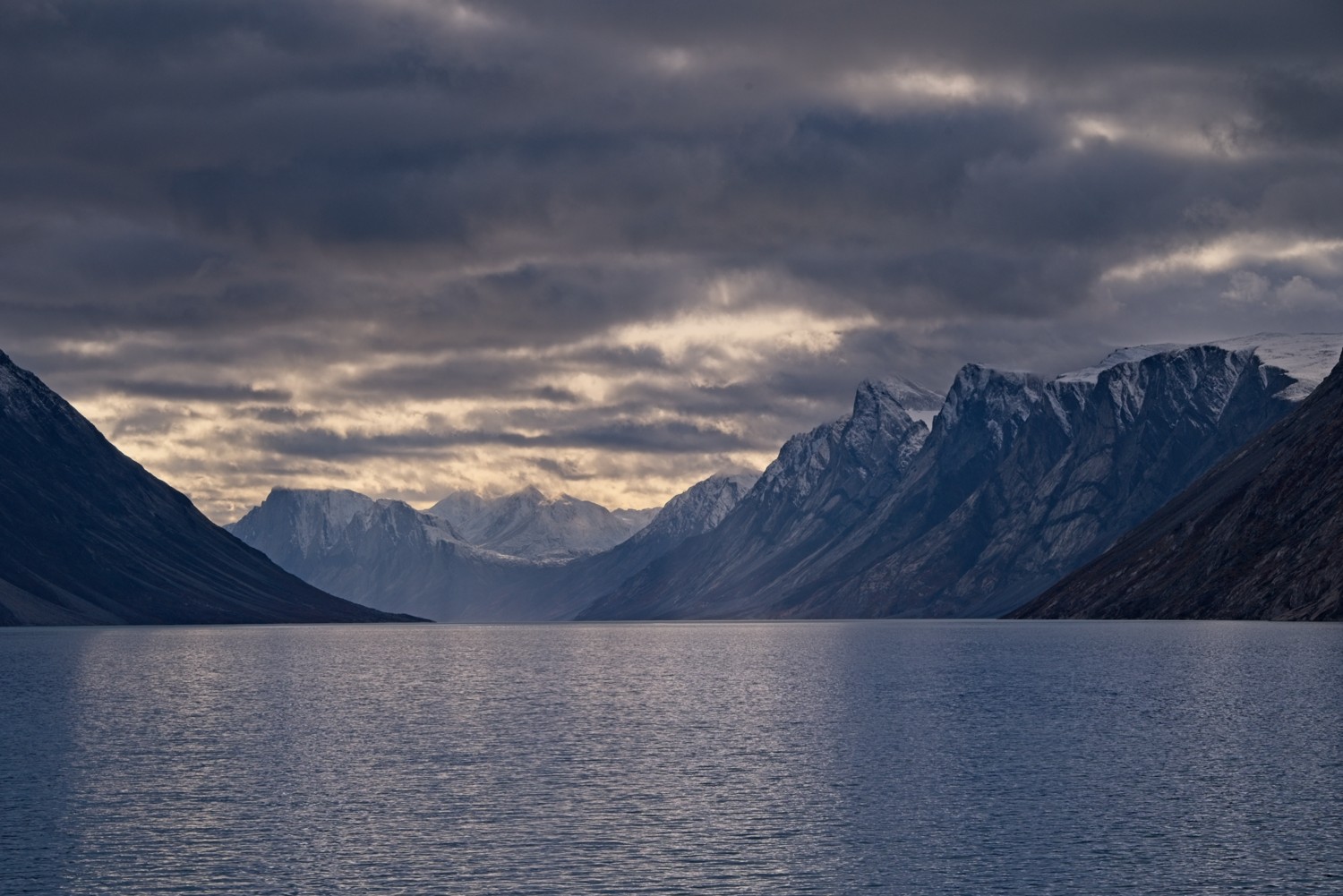 Finally we set sail along the stunning Kangerlussuaq Fjord
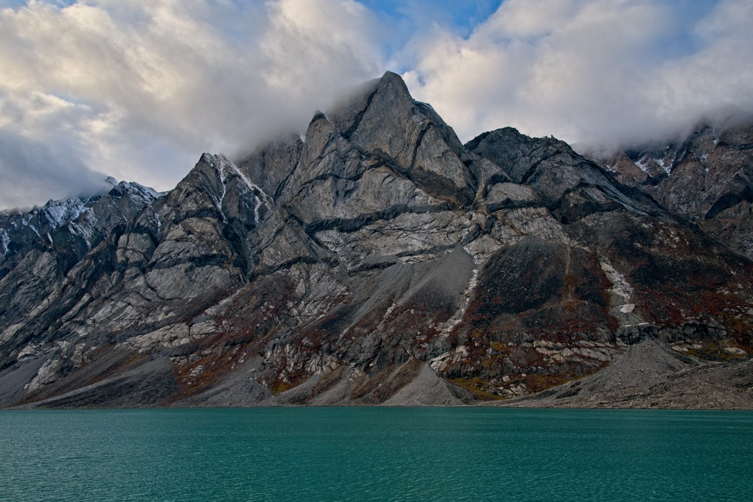 The bright blue colour of the water in the Fjord comes from glacial sediment
Sisimiut, Greenland
(see-SEE-mee-oot, meaning people at the fox dens)
Greenland’s second-largest town, Sisimiut, is the northernmost ice-free port in the country, built on rocky terrain overlooking Baffin Bay. Inhabited for more than 4,500 years by the Dorset, Thule and eventually the Inuit people, dog sledding remains a vital form of transportation. The area is home to humpback whales and Arctic foxes.
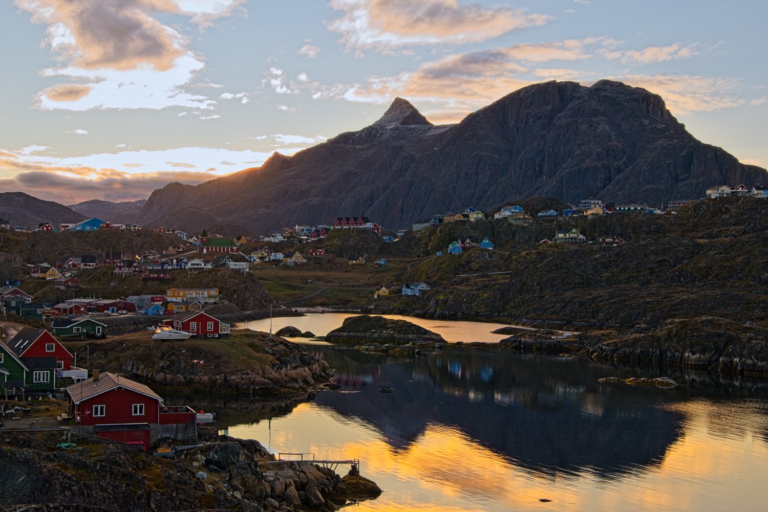 We went on an early morning guided hike into the hills above the town.
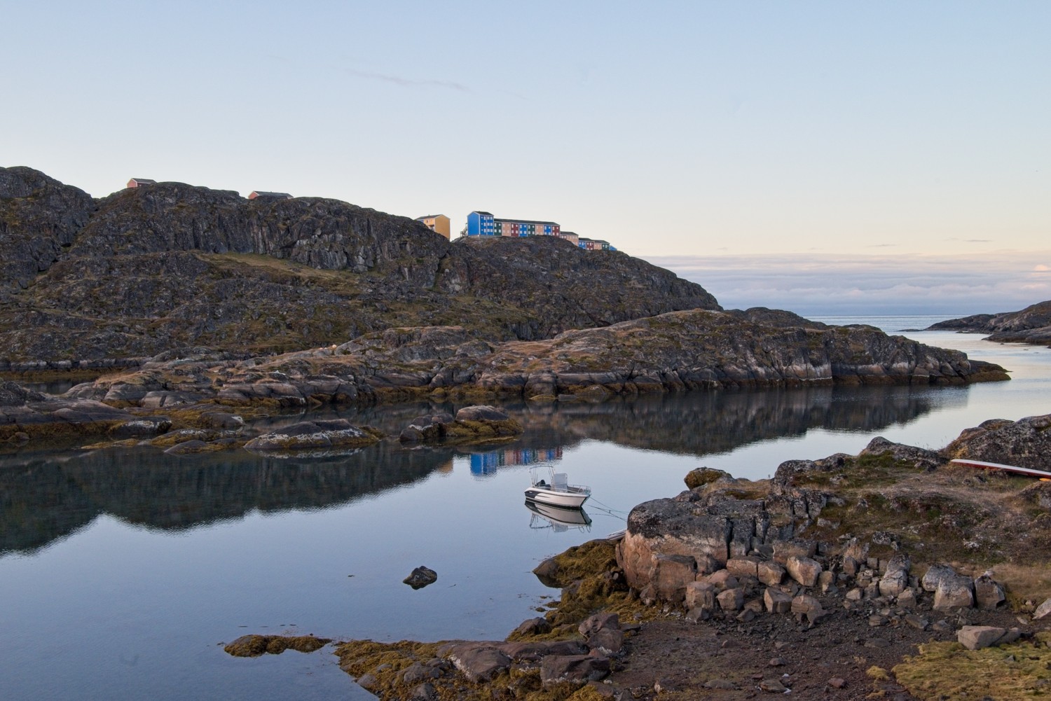 The weather forecast was for a cloudy, windy start to the morning. As our guide said, forecasts were not worth the paper they were written on! The calm waters make for this lovely reflective vista.
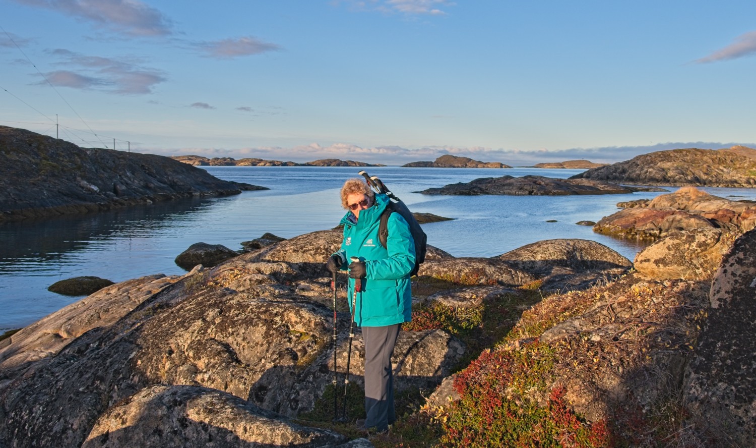 Charlotte well wrapped up for the hike. It was a lovely sunny morning, but only 4 Deg C.
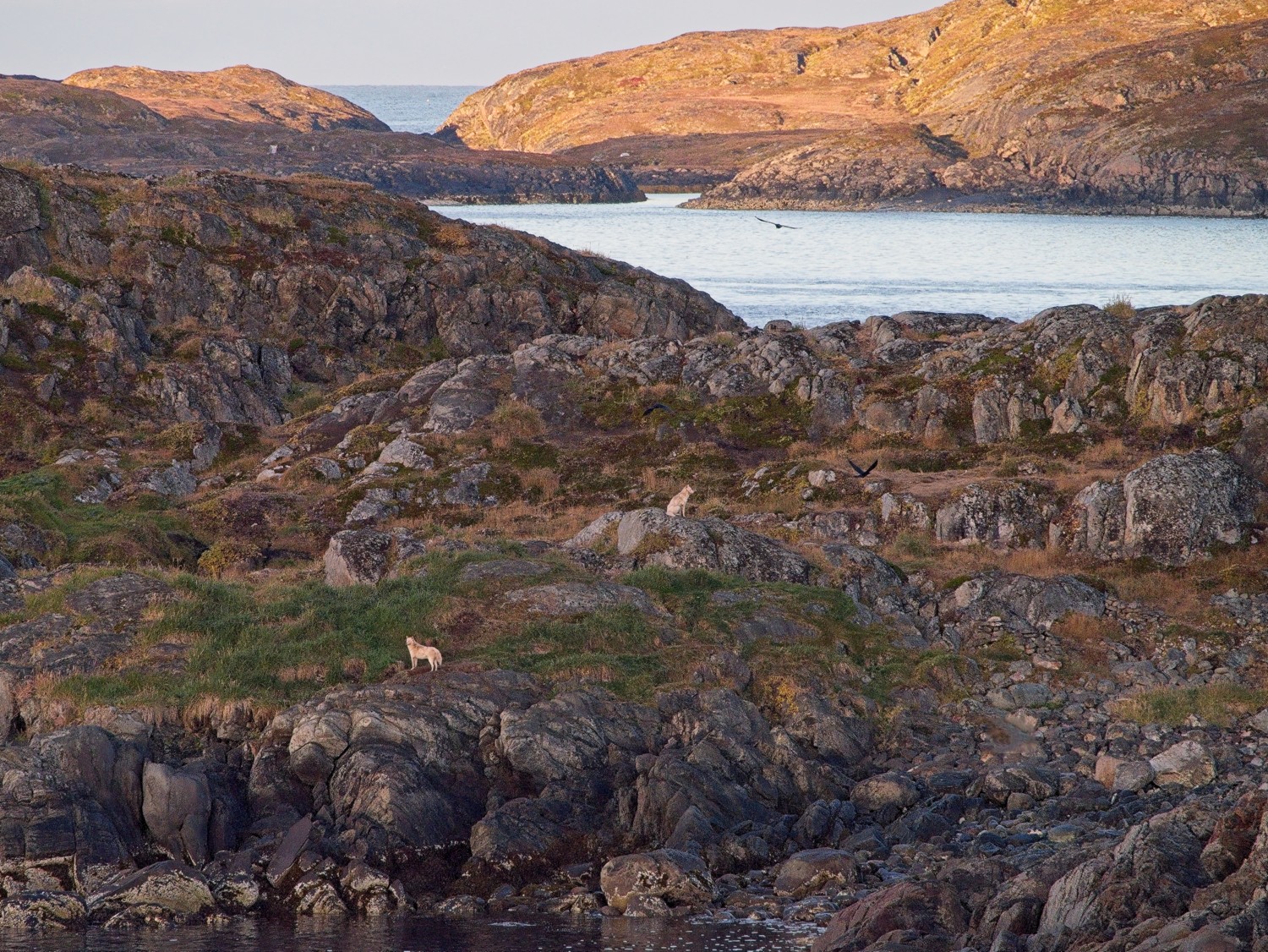 The Greenland Sled Dog has a pure genetic lineage dating back thousands of years. To preserve the genetic purity, it is strictly illegal to import any other dog breeds into Greenland’s designated sled dog zone. Sisimiut is the southernmost point of that zone. The sled dogs on this small island are taken there by their owners for the summer months, when they are not working.
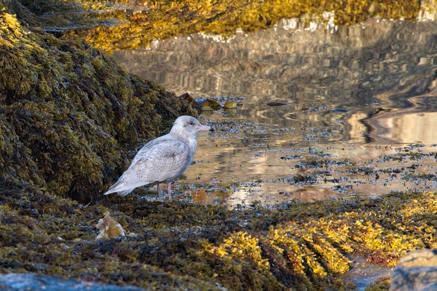 A juvenile Great Black-backed Gull
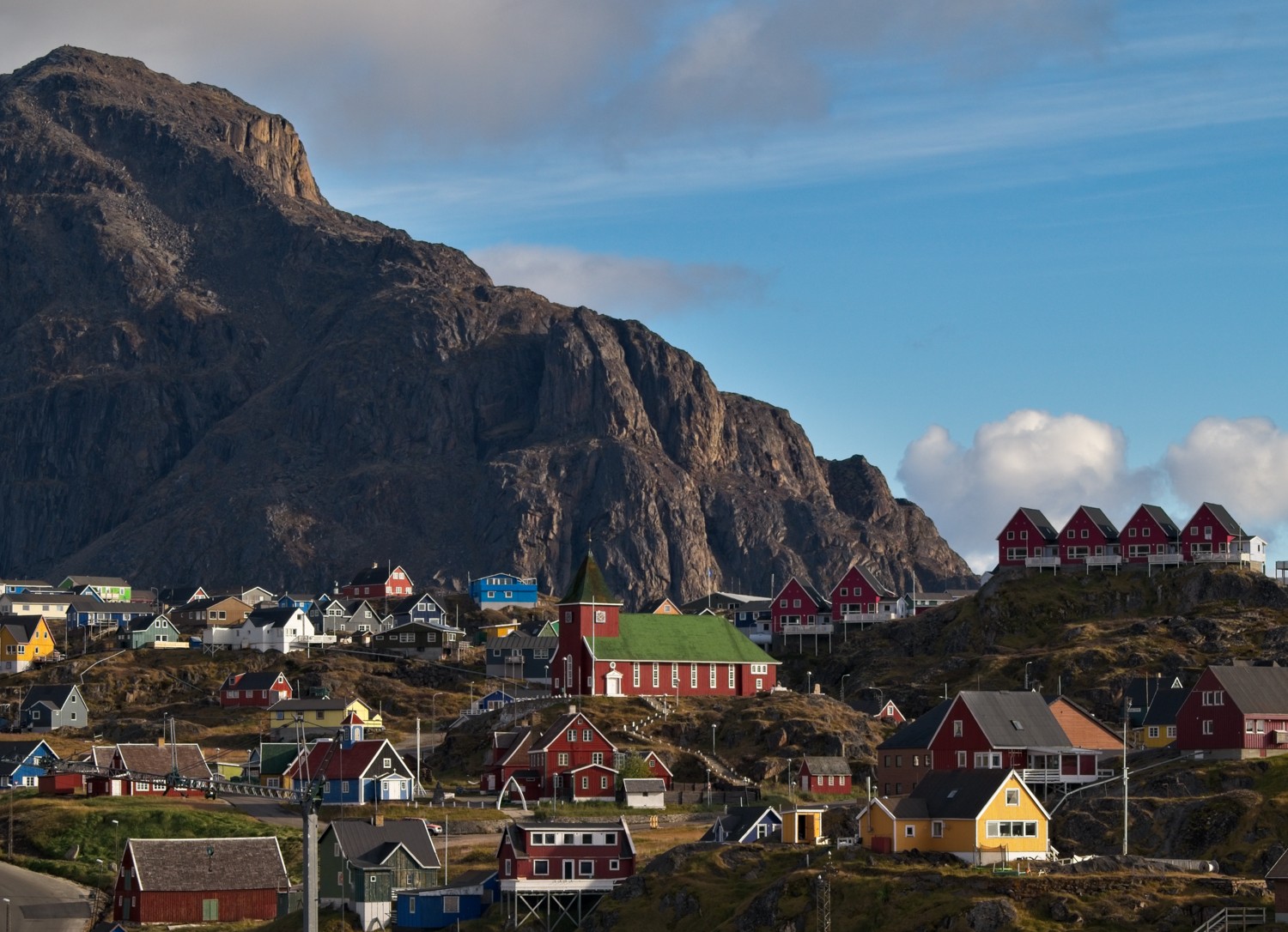 Some of the colourful town houses and the church built on the slopes
Qeqertarsuaq, Disko Island, Greenland
(kuh-ker-TAR-su-ak, meaning The Big Island)
Located on mountainous Disko Island in Disko Bay, Qeqertarsuaq is a colourful Greenlandic settlement surrounded by dramatic basalt formations and towering peaks. The area is renowned for its whaling history, hot springs, and extraordinary iceberg-filled waters where massive ice giants from the Ilulissat Icefjord drift past, creating some of the Arctic’s most spectacular scenery.
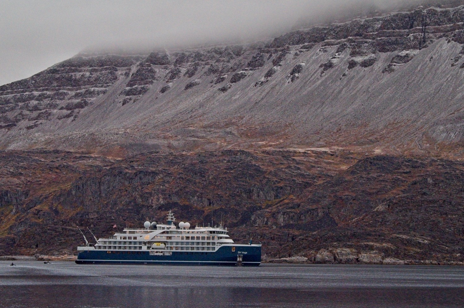 The ship anchors in Qeqertarsuaq and ferries us ashore for a 6-mile coastal hike around the island
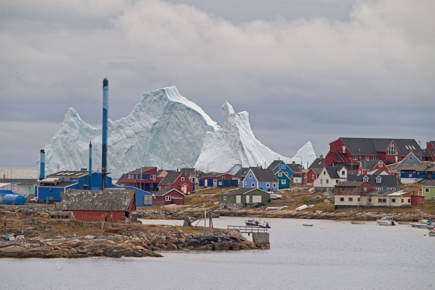 The first sight of the town confirmed the spectacular size and beauty of the icebergs as they tower above the buildings from the beach behind
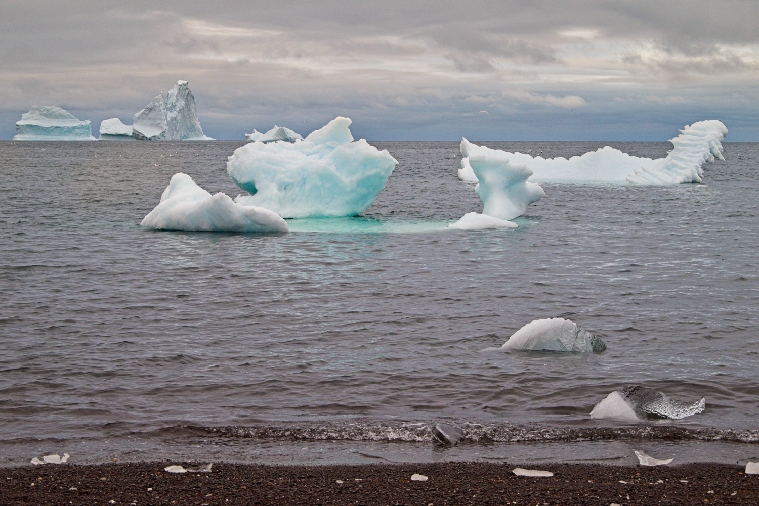 Walking out to the black-sand beach we saw an amazing collection of icebergs
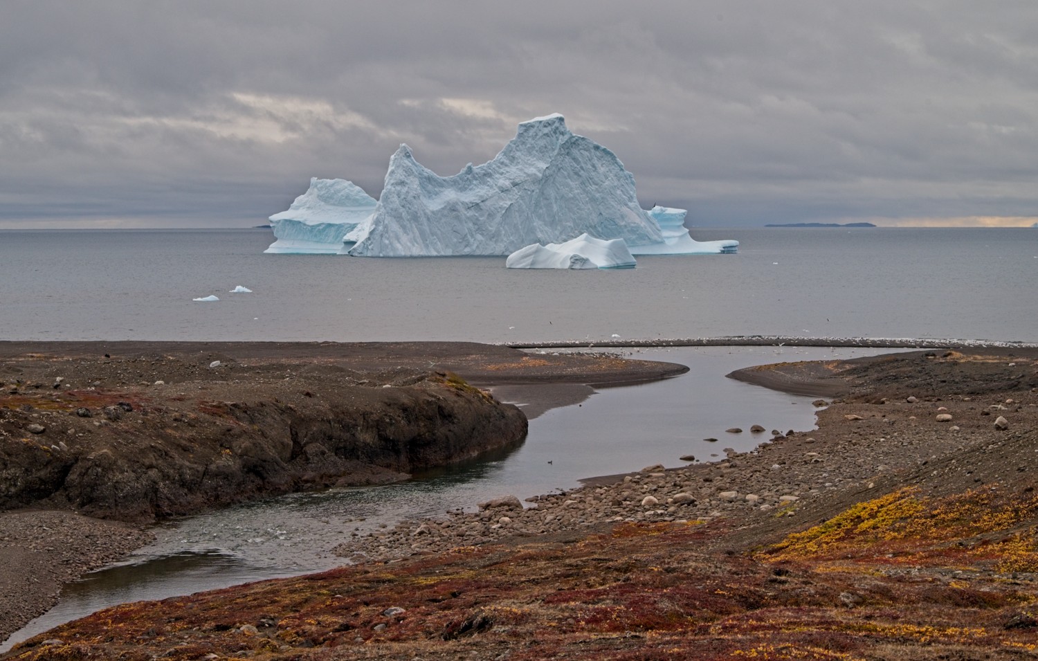 They appear to be so close to the beach
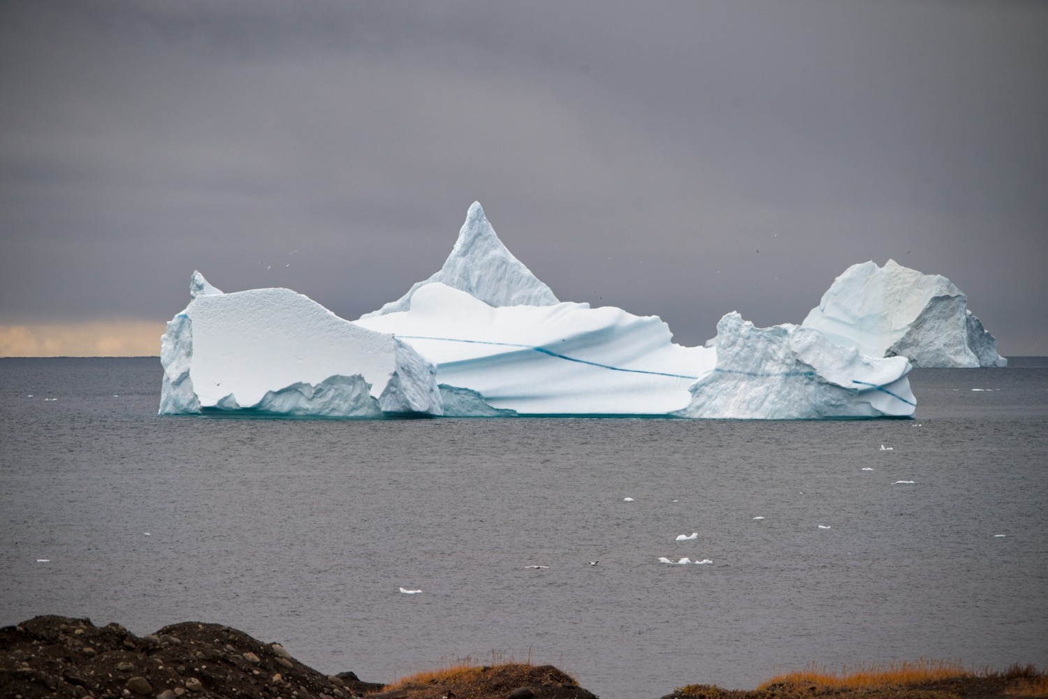 Starting to climb away from the beach, revealed more icebergs – this one has an interesting deep blue vein running through its middle
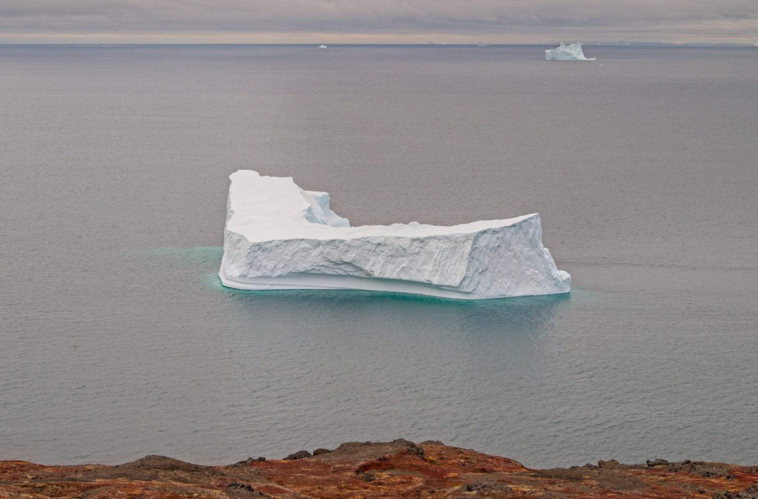 A blue or green sheen in the water around icebergs happens when sunlight interacts with dense ice, suspended rock dust, and the surrounding sea
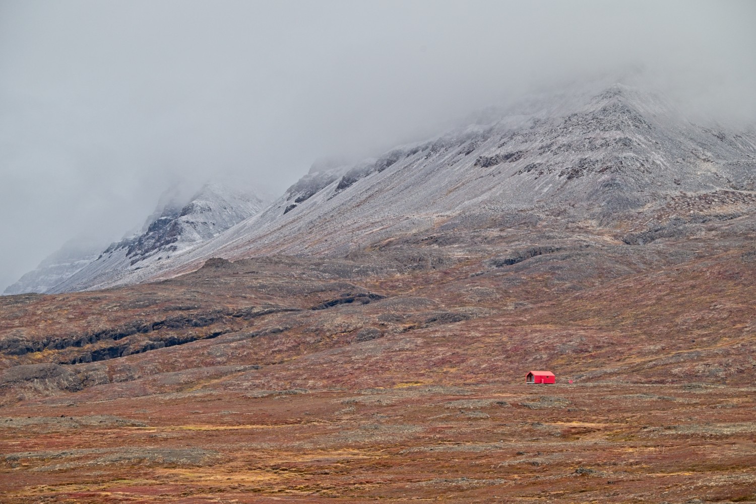 This far north we saw the early autumnal colours in the vegetation
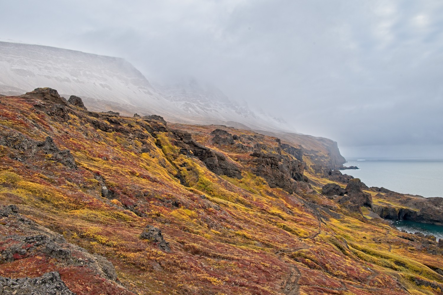 After climbing further up the mountain, we reached the end of our hike, and saw this fabulous view along the coast. The bright green vegetation is wild angelica.
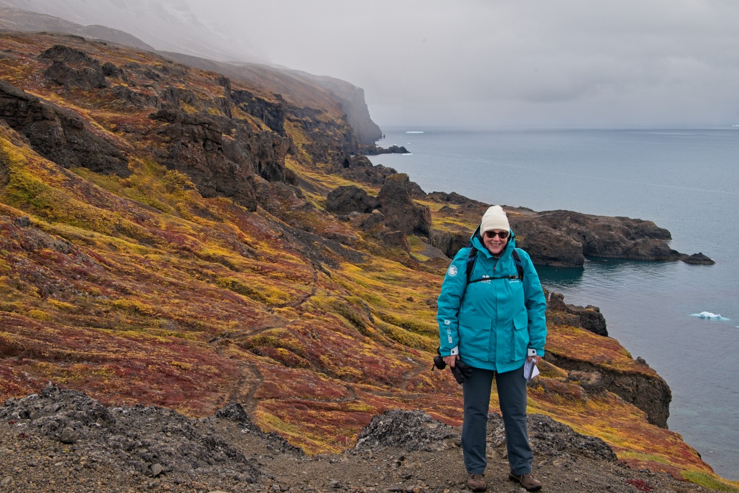 Even though it was zero deg C, Charlotte was clearly enjoying herself!
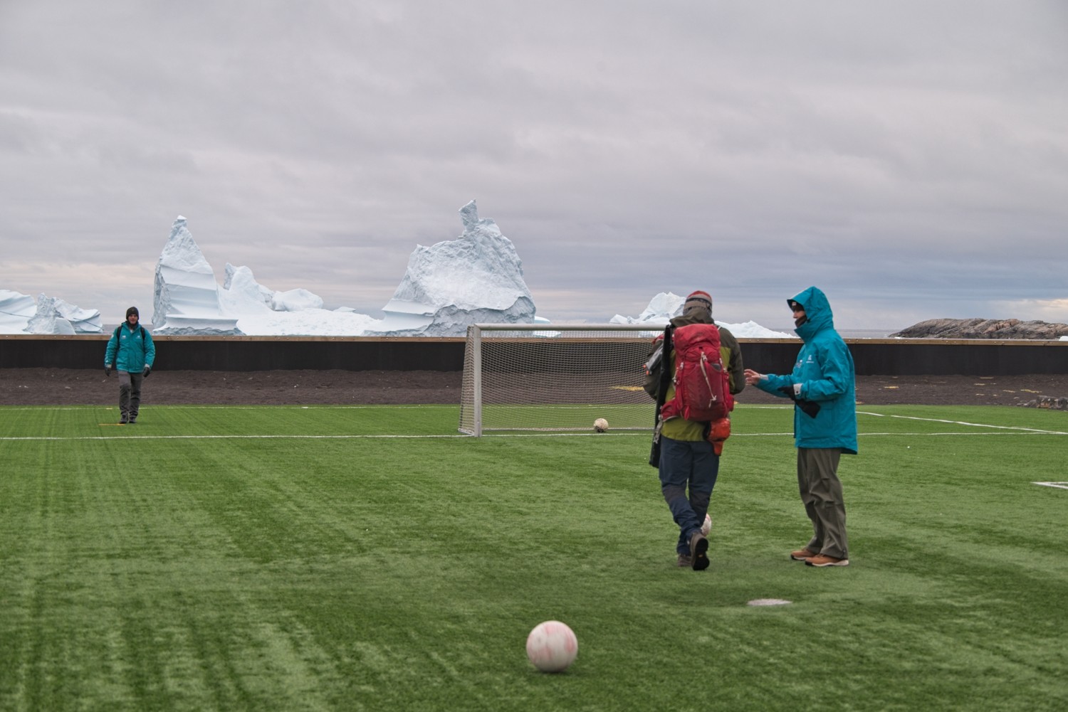 At the end of the hike the guide and some of our fellow walkers decided to have a quick game of footie, with only the icebergs as spectators!
Itilleq, Greenland
(ee-TEEL-hleq, meaning ‘crossing point’)
Itilleq is a tiny, colourful island settlement located just north of the Arctic Circle on the Davis Strait. Home to roughly 80 residents, the village relies on fishing and hunting, features a unique seawater desalination plant for fresh water, and serves as a remote stop for expedition cruises. Islanders come together to play football when not in school, at the fish factory, or hunting.
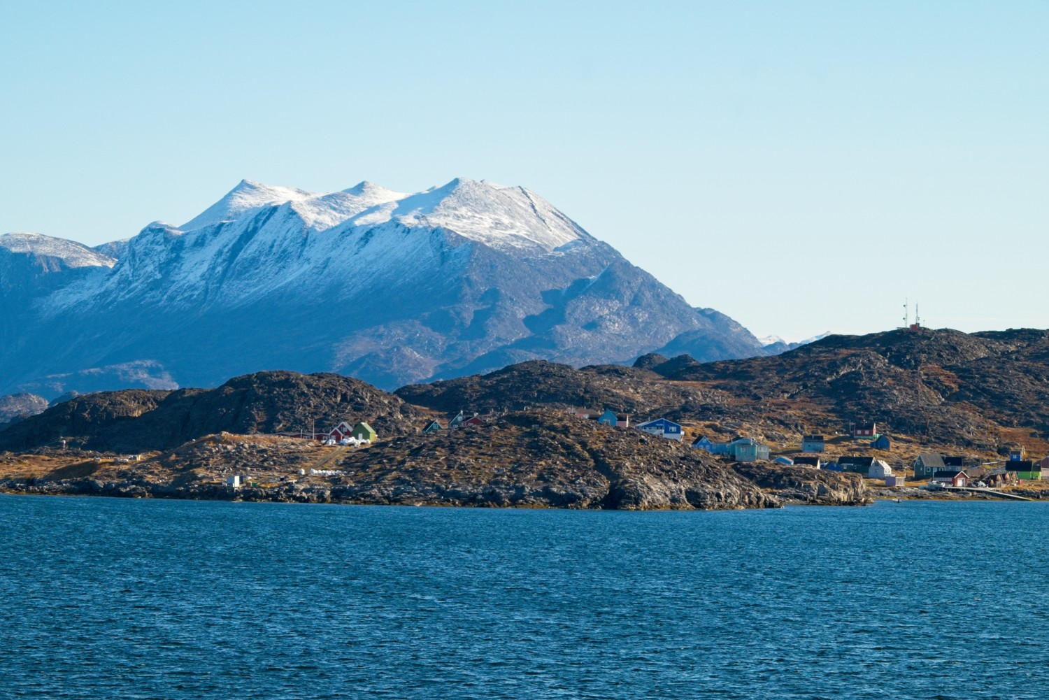 The remote community of Itilleq
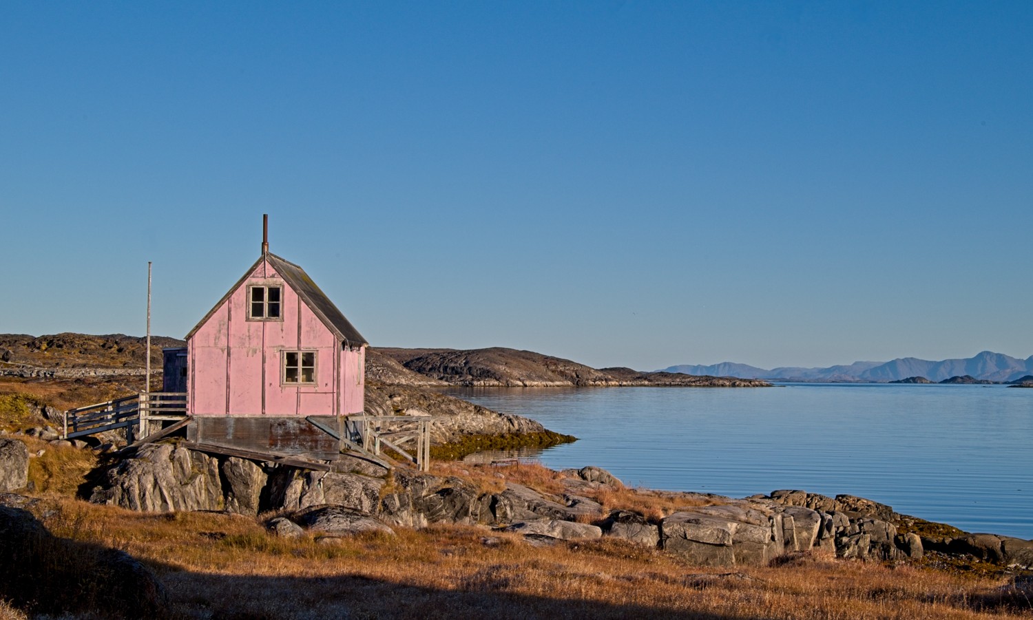 The visit was an opportunity to explore a remote settlement and gain an authentic glimpse into everyday life in rural Greenland.
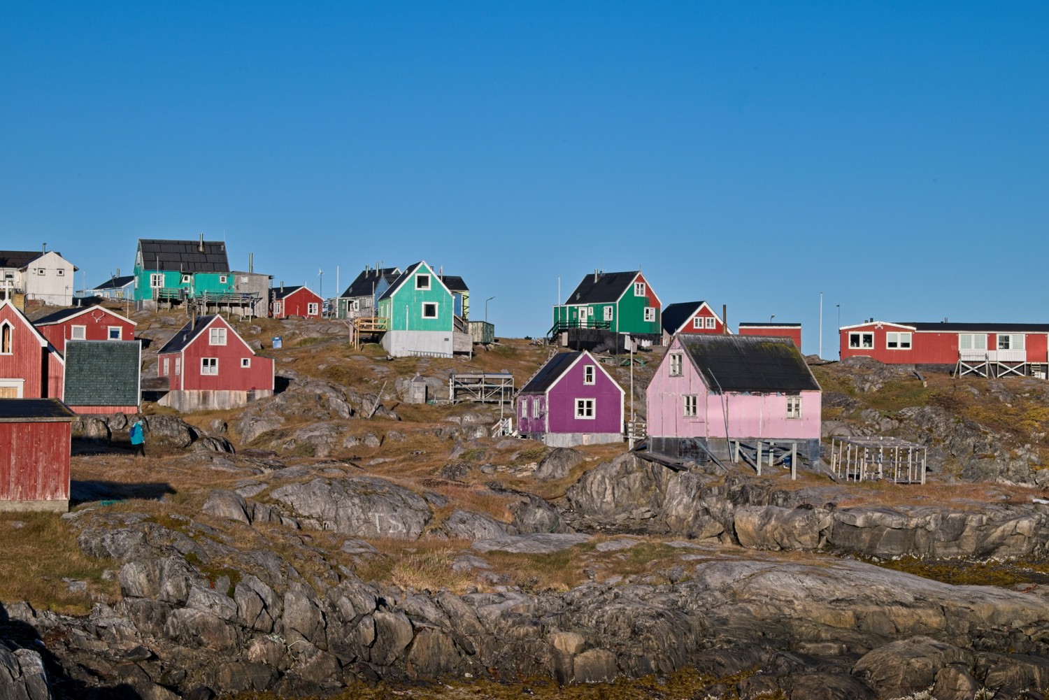 Due to the harsh weather, Greenlanders have to repaint their homes regularly
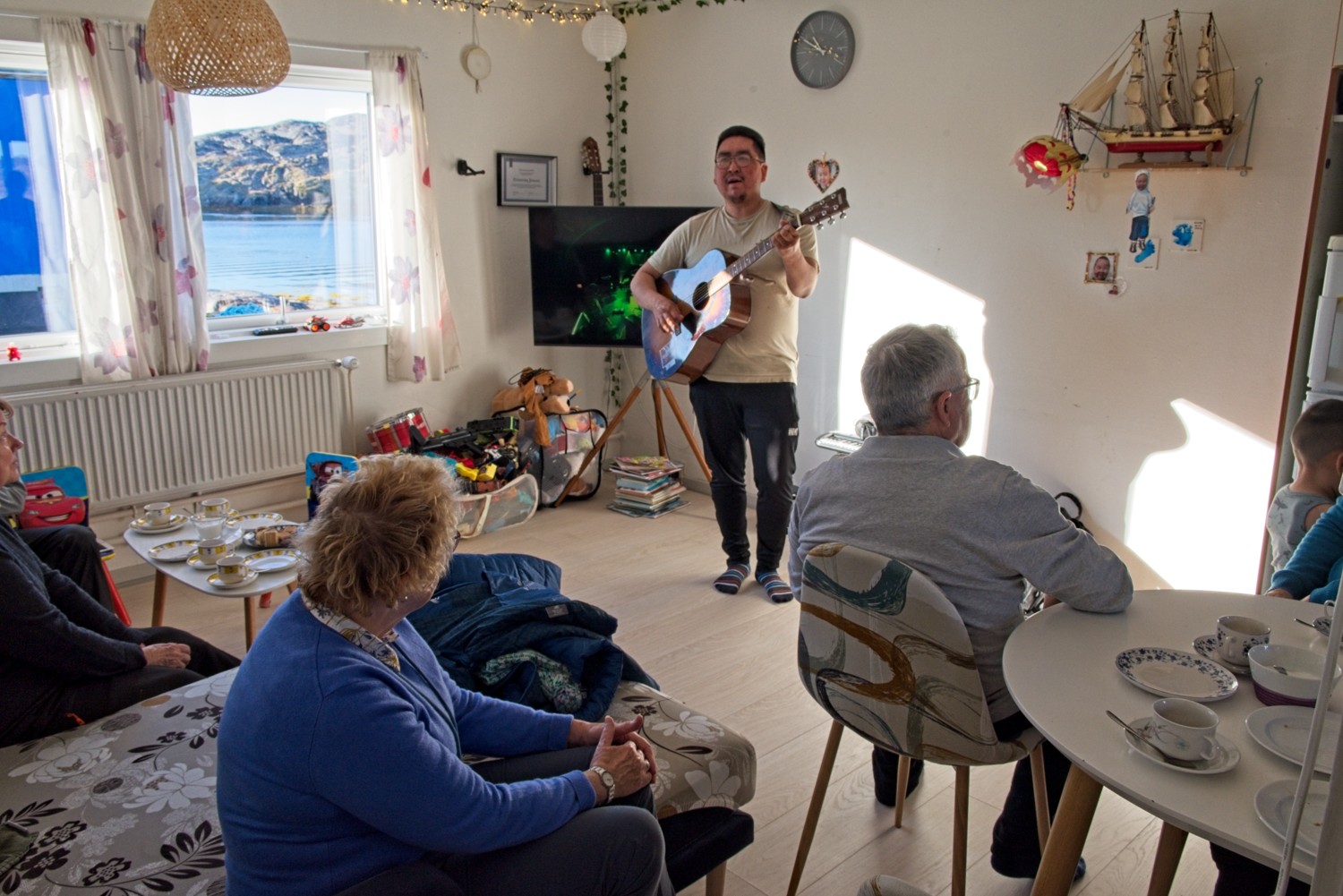 We were invited to a local resident’s home for coffee and cake, this is called a ‘Kaffenik’. Our host was a local musician and entertained us with some of his original songs.
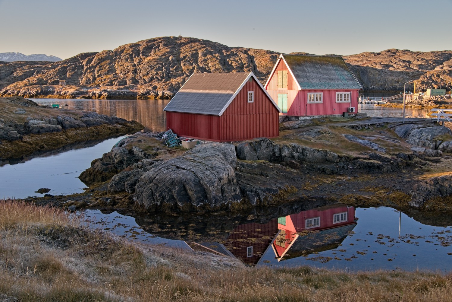 There were a number of small businesses on the island, as well as the fish factory, which provide jobs for the locals
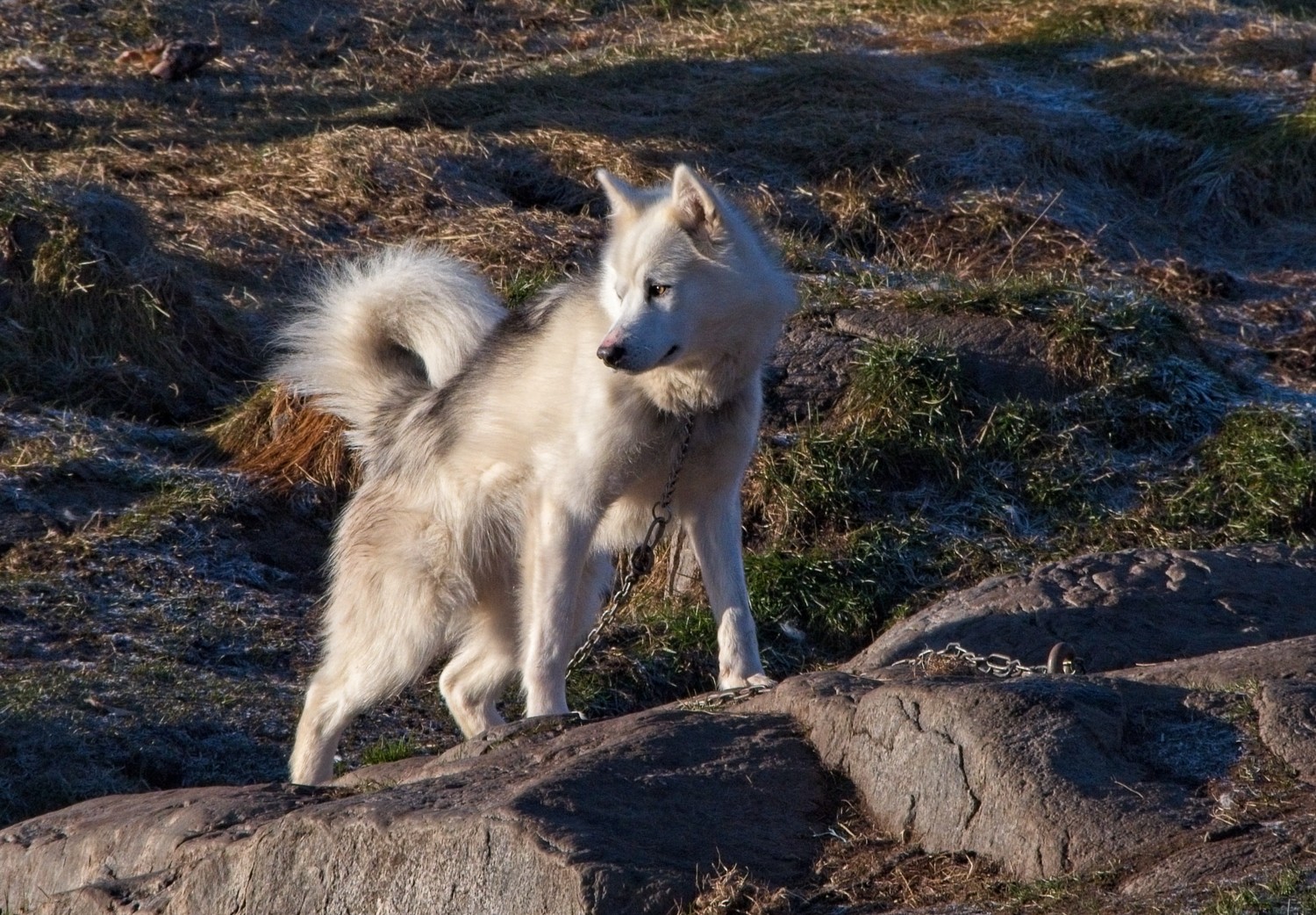 Many of the homes kept Greenlandic Sled Dogs
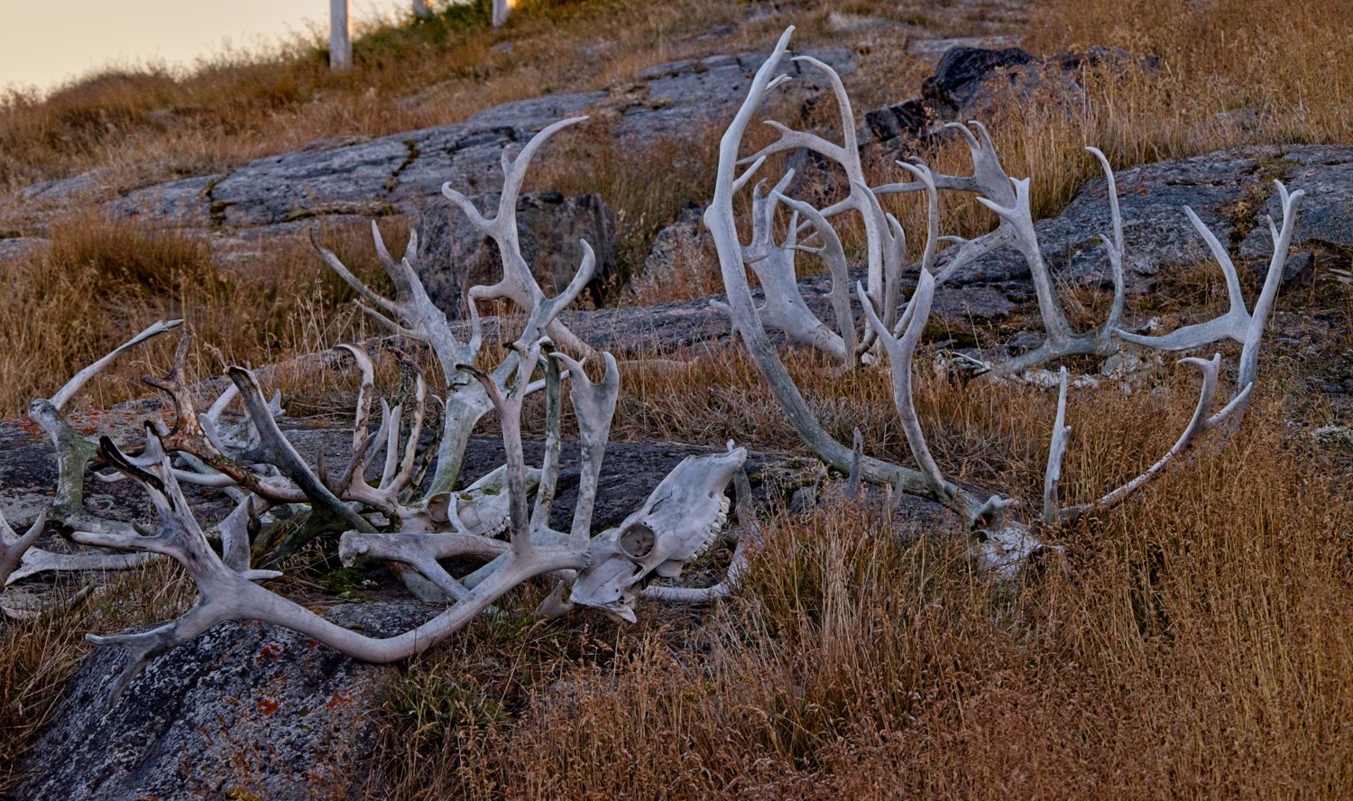 The remnants of Reindeer hunting
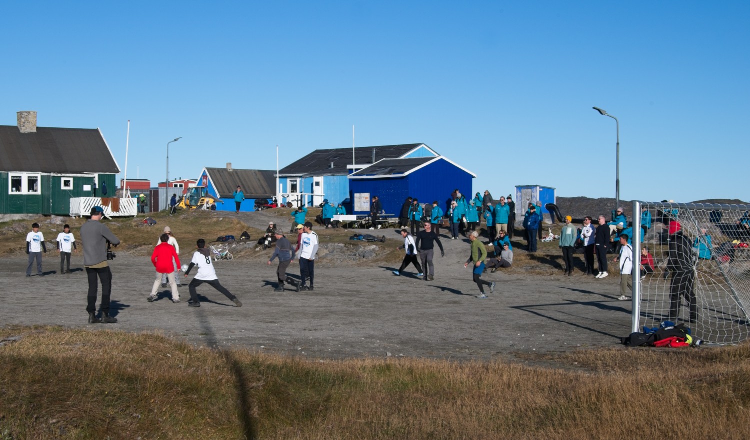 There is a tradition that the town challenges the passengers and crew of any visiting ship to a game of football. We lost 7-4.
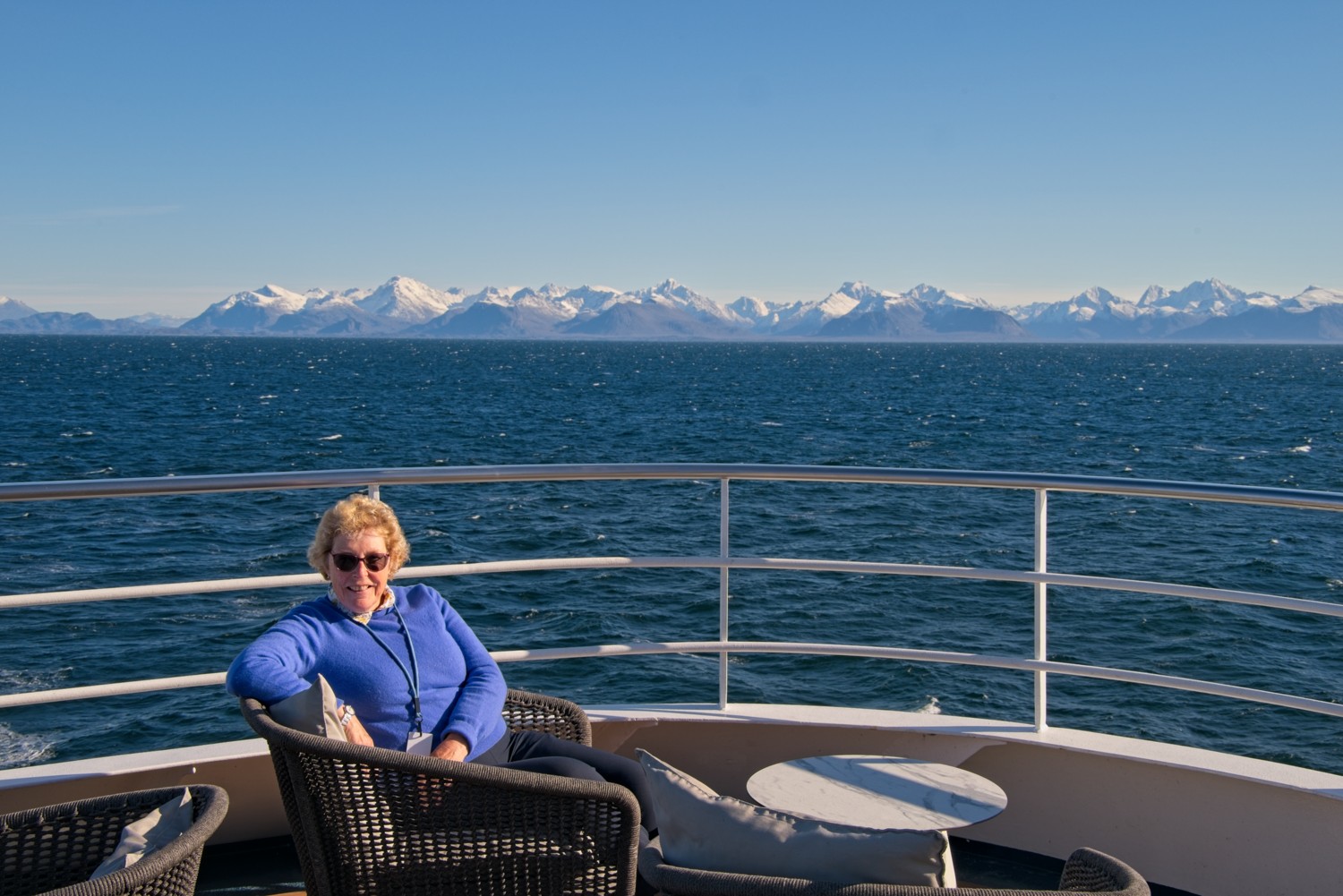 Charlotte enjoyed the view as we sailed cross the Davis Strait away from Itilleq. We left Greenland and sailed southwest to the Canadian Arctic coast.
Aurora
While we were exploring Greenland we had the opportunity to experience the Northern Lights. Photographing the aurora without a tripod, whilst standing on a rolling deck was a challenge!
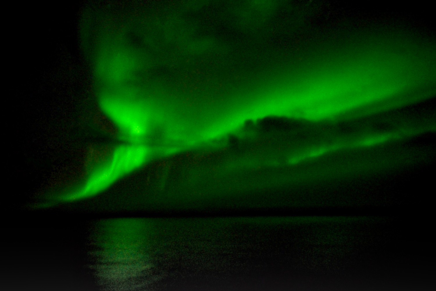 The green light in an aurora is caused by energetic solar particles colliding with oxygen atoms in Earth’s upper atmosphere at altitudes between 60 and 150 miles. When these collisions excite the oxygen atoms, they release energy as bright green photons.
Once we reached the Canadian coast, we made a quick port call to the town Iqaluit, so the ship’s crew and passengers could clear customs, before sailing on to Lower Savage Island.
Lower Savage Island, Nunavut, Canada
At the southeastern tip of Baffin Island, the Lower Savage Islands form a scattered archipelago of rocky islets carved by narrow channels and steep, weathered cliffs. Located at the mouth of Frobisher Bay where it meets the Labrador Sea, the islands are uninhabited and remain largely untouched, their terrain shaped by ice, wind, and tide rather than settlement.
We explored the islands on Zodiacs, threading our way through a maze of channels. After dropping us off at the start, the ship repositioned to pick us up on the other side of the islands.
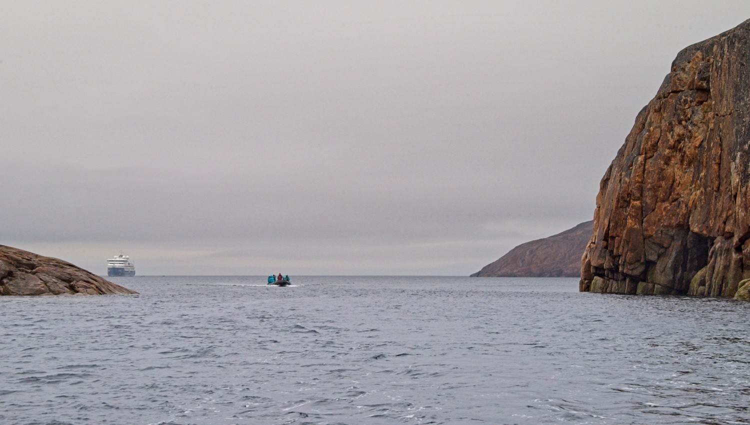 A Zodiac entering the channel having been dropped off by the ship
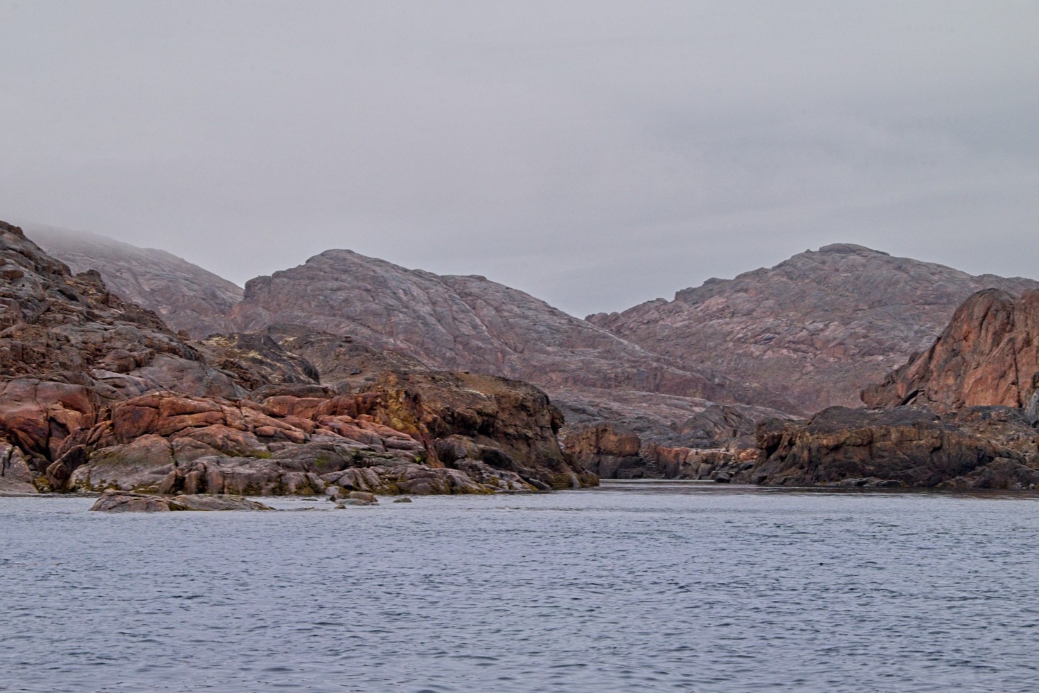 It was a cold, overcast day, with low cloud on top of the rocks
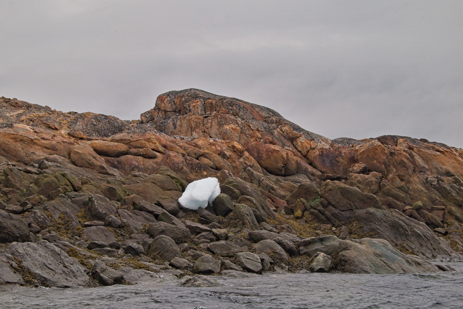 The white of small chunks of drift ice, thrown on to the rocks by the tides, are in stark contrast to the dark rock face
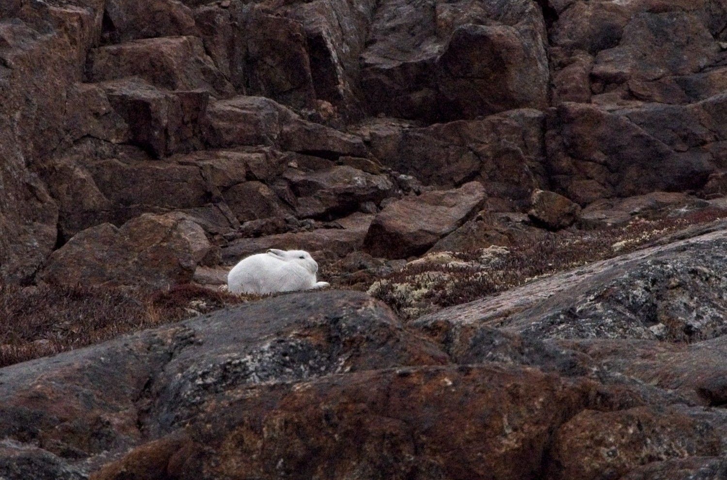 An Arctic Hare shelters on the rocks
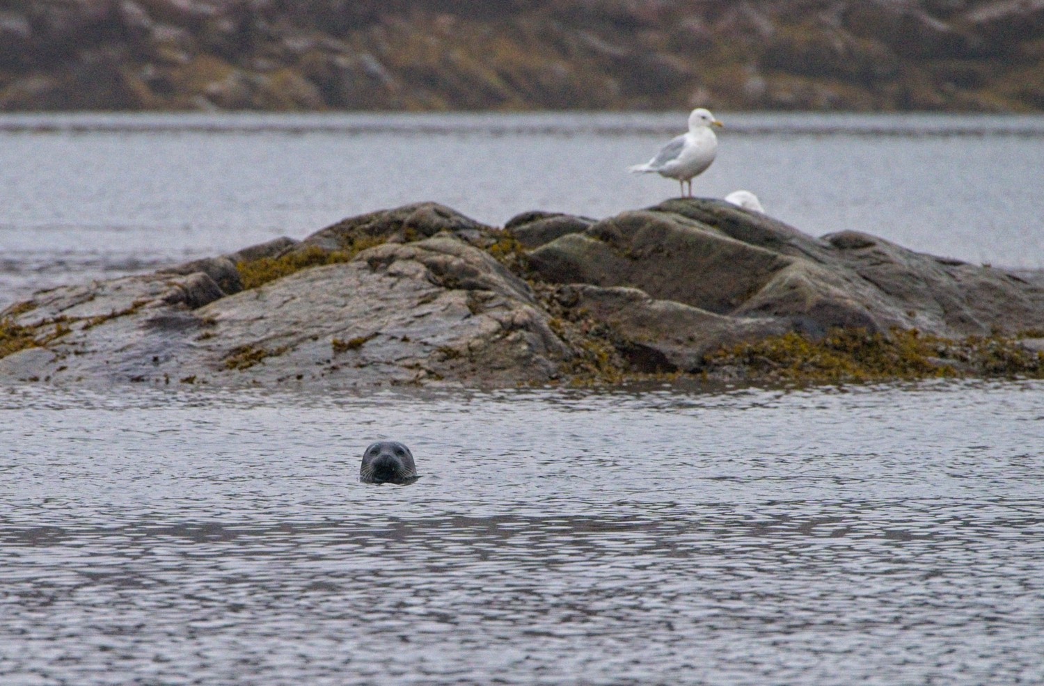 A Seal is curious about our Zodiac!
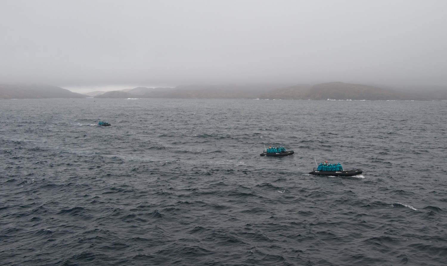 As the last Zodiacs left the relative calm and shelter of the islands to rendezvous with the ship, the weather deteriorated and the sea became quite rough. With the large swell, it was challenging climbing out of the Zodiacs onto the ship.
Torngat Mountains National Park, Labrador, Canada
Canada’s most spectacular and remote national park protects the dramatic Torngat Mountains where peaks rise directly from the Labrador Sea to heights exceeding 5,000 feet. This wilderness area is sacred to the Inuit and accessible only by boat or plane, offering some of North America’s most pristine Arctic landscapes with glacial valleys and fjords.
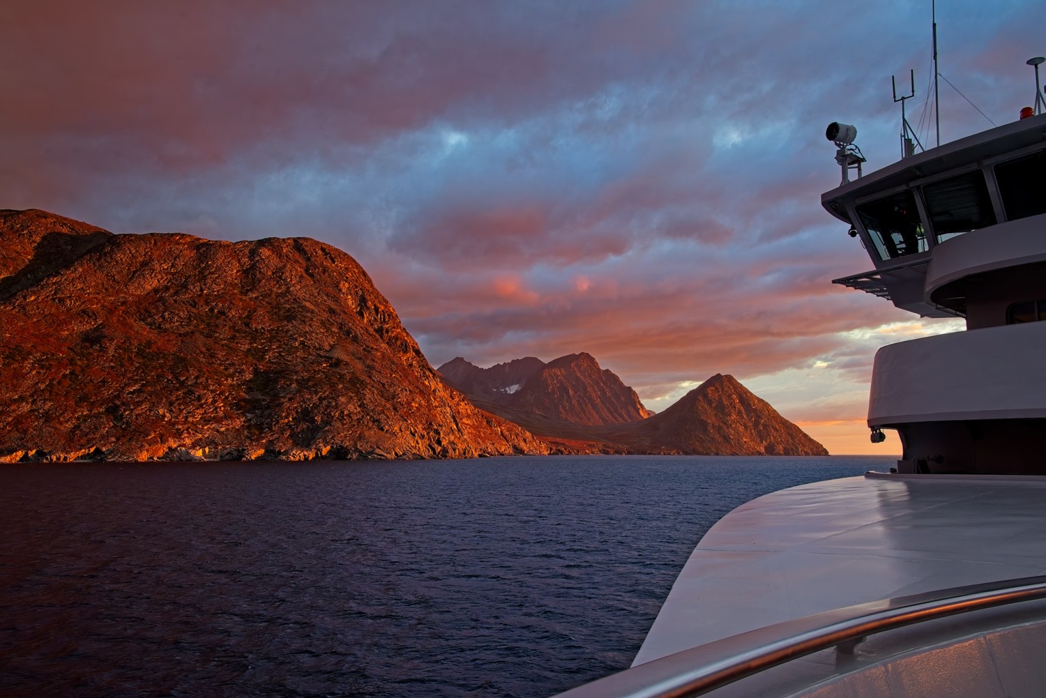
We explored Nachvak Fiord by ship and zodiac.
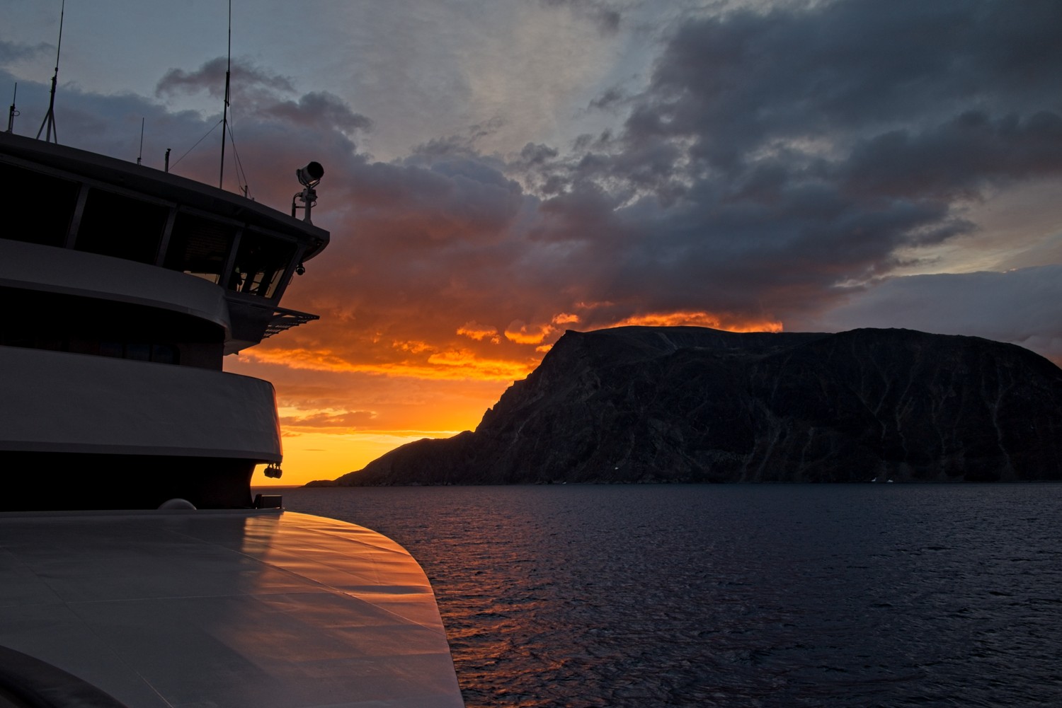 Looking back from both sides of the bow as we entered the fjord at sunrise
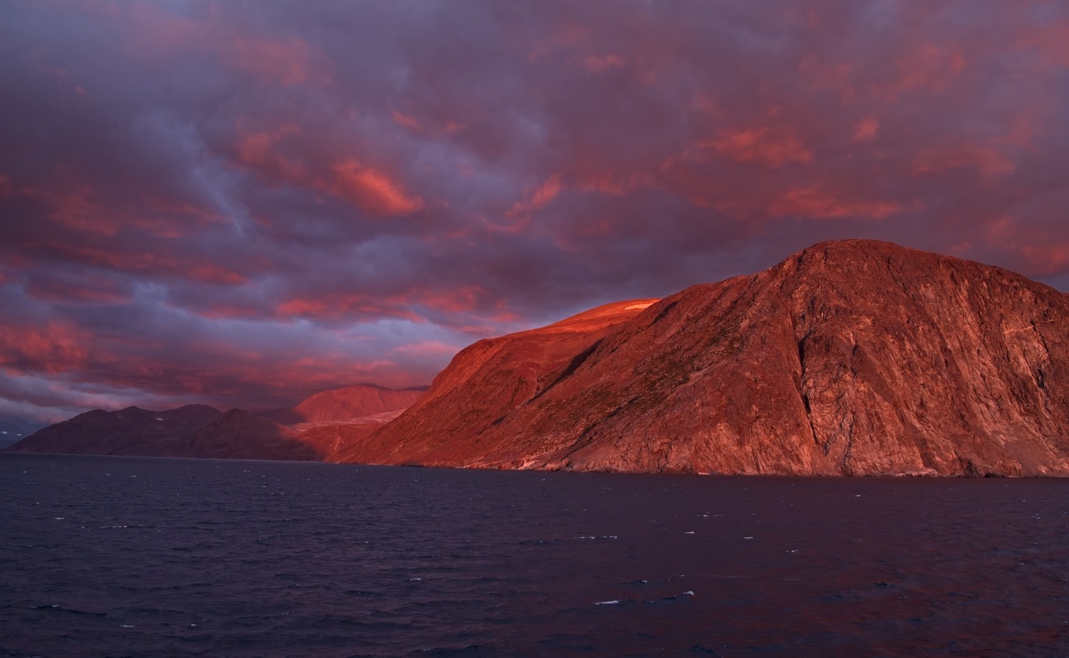 Stunning rock and cloud formations lit by the rising sun
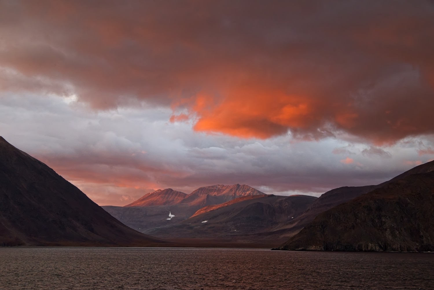 View down the fjord
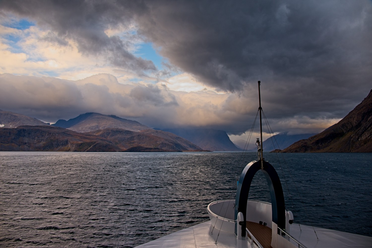 Arriving at our embarkation point for the zodiacs – the cloud is starting to build up
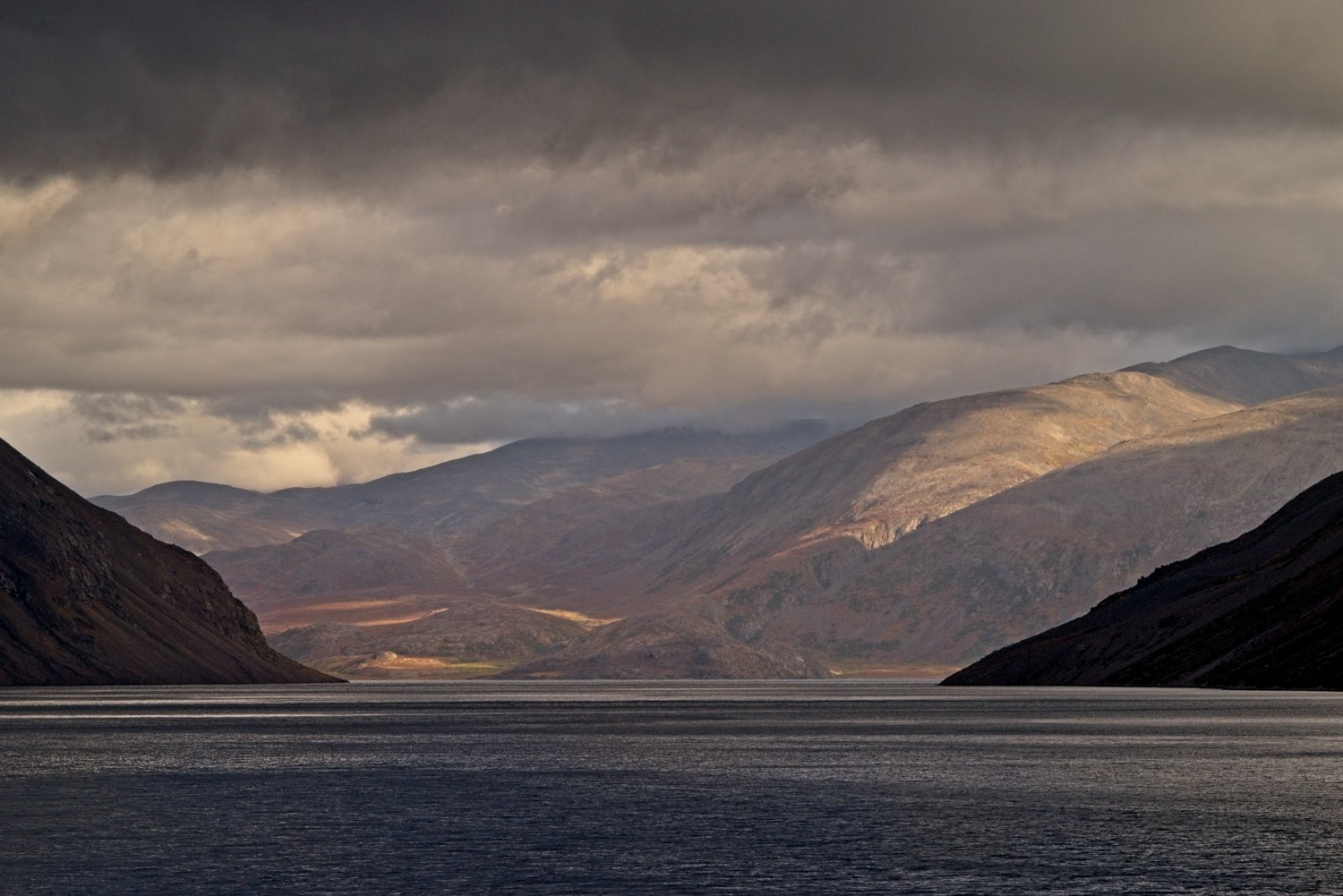 The sun breaks through to illuminate another arm of the fjord
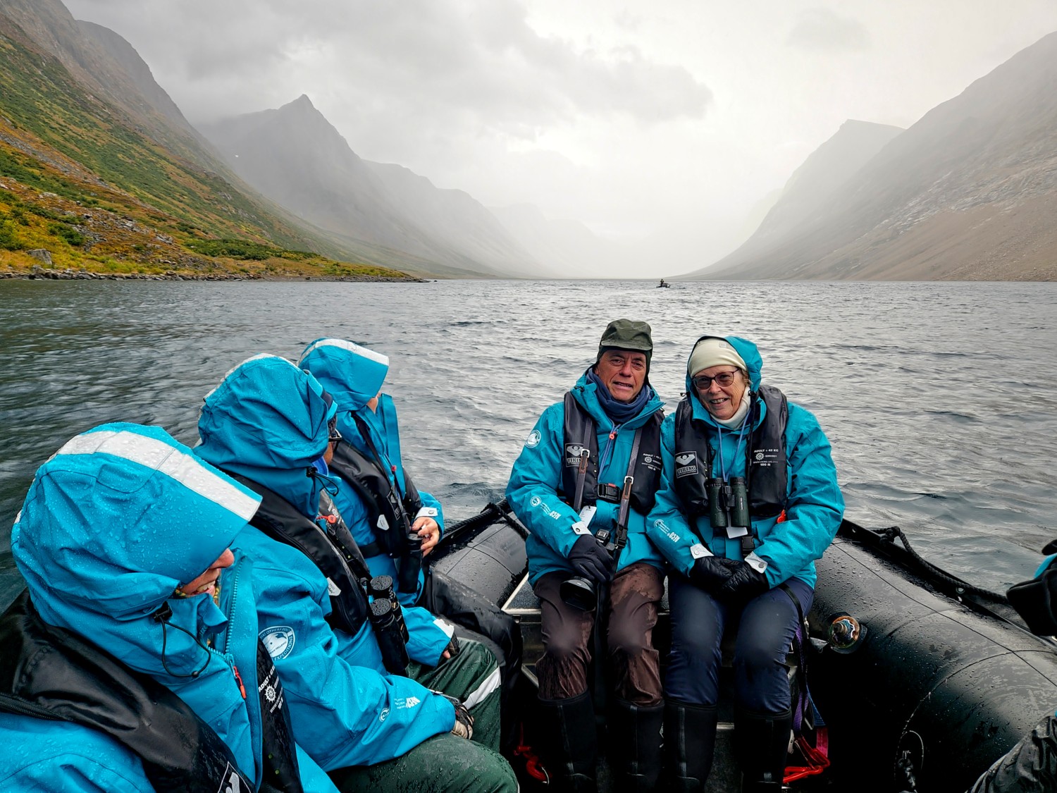 When we finally head off in the zodiac a rain shower appears!
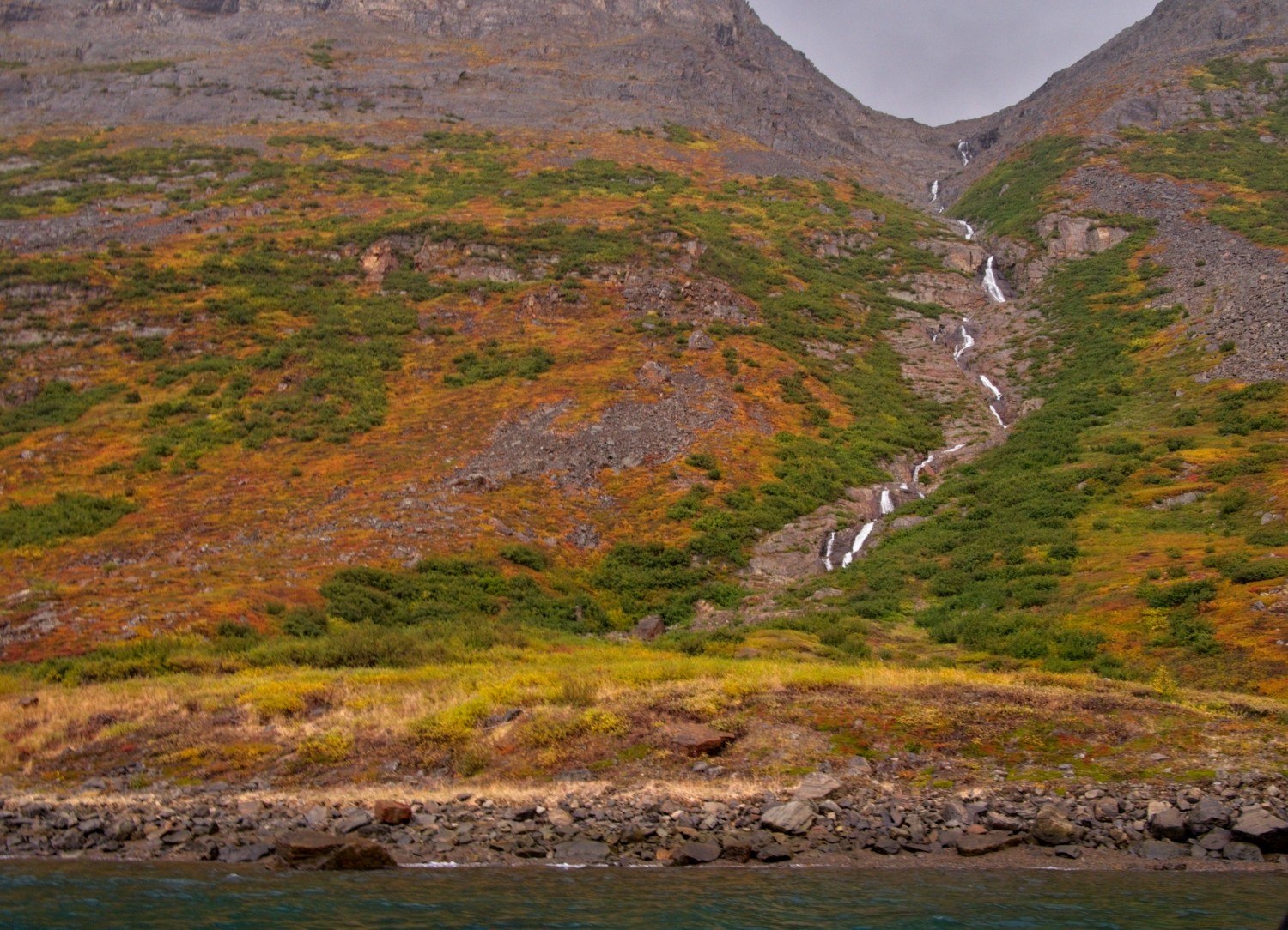 This lovely waterfall is framed by colourful autumn vegetation, the colours boosted by the rain
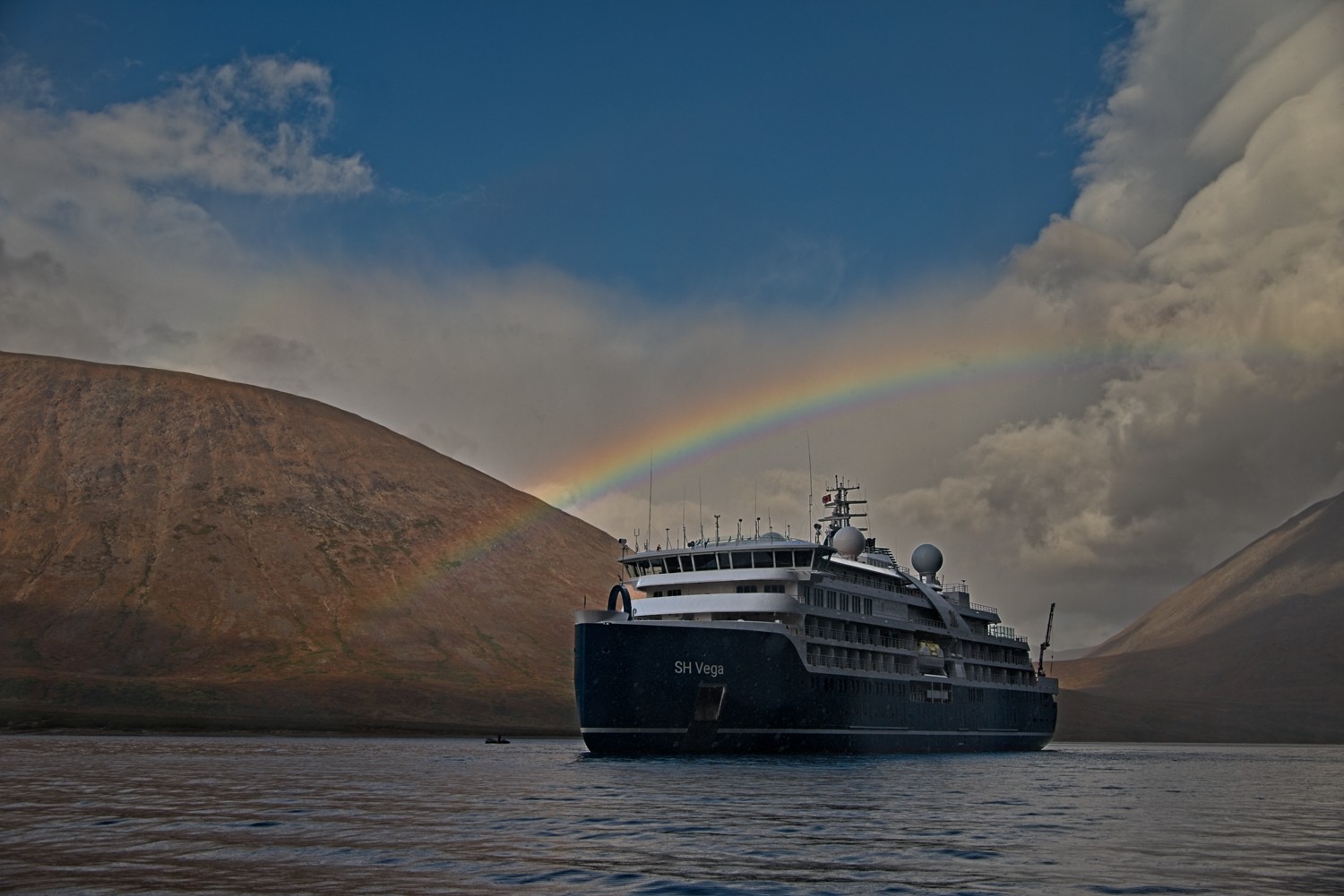 The rain eased as we return to the ship and a beautiful rainbow enveloped the scene
Nain, Labrador, Canada
Nestled on the edge of Unity Bay, Nain serves as the administrative capital of Nunatsiavut and the northernmost permanent settlement in Labrador. This remote community offers a stunning visual tapestry, blending the rugged subarctic beauty of the Torngat Mountains with the heritage of its Inuit residents.
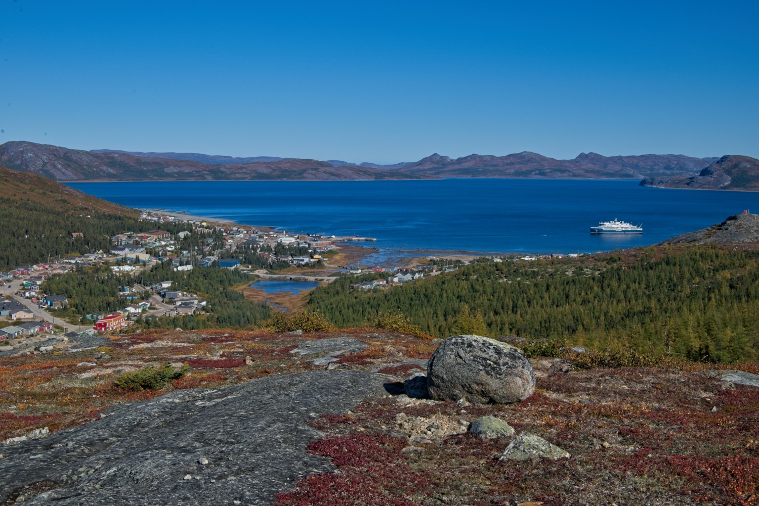 We hiked up into the hills above the town. Our ship is anchored in the bay.
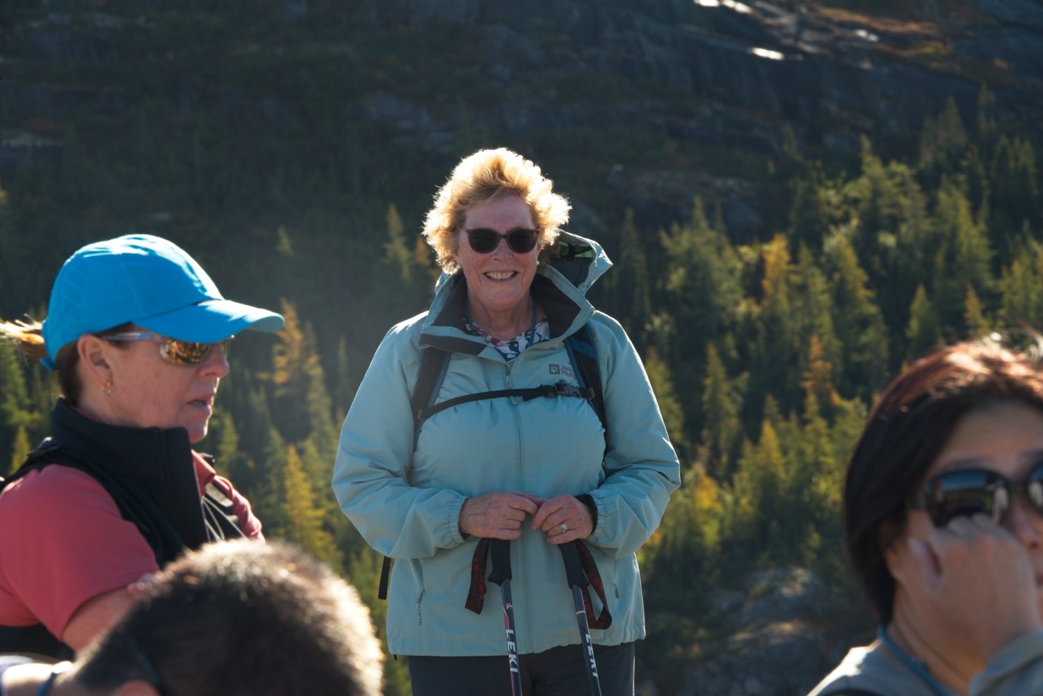 Charlotte is enjoying the glorious weather, it was a barmy 12 Deg C!
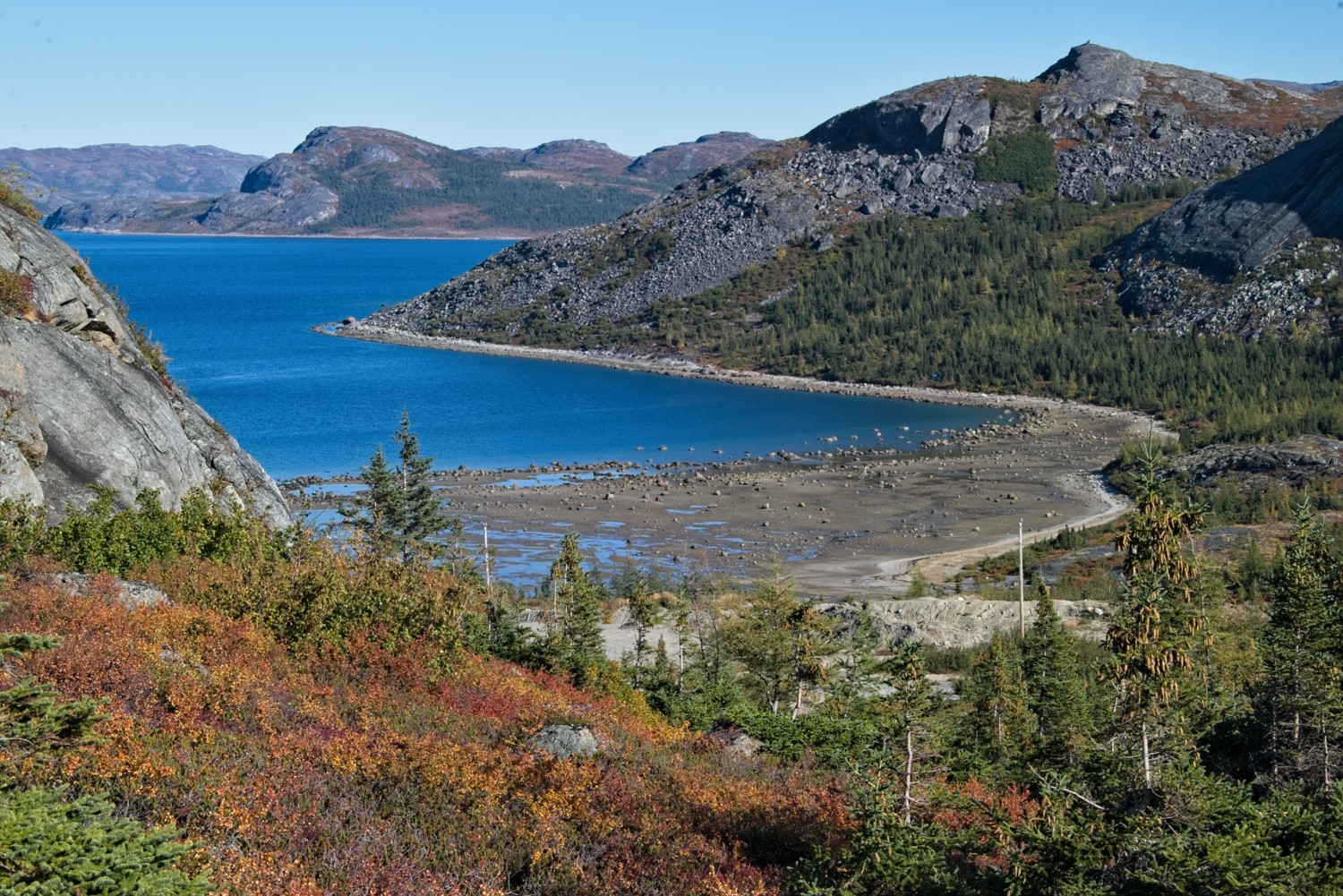 Having sailed south of the treeline, trees were now more in abundance
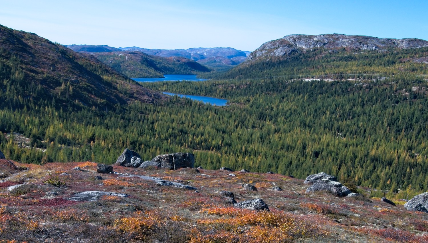 The lakes and Torngat Mountains provide a beautiful backdrop to the town
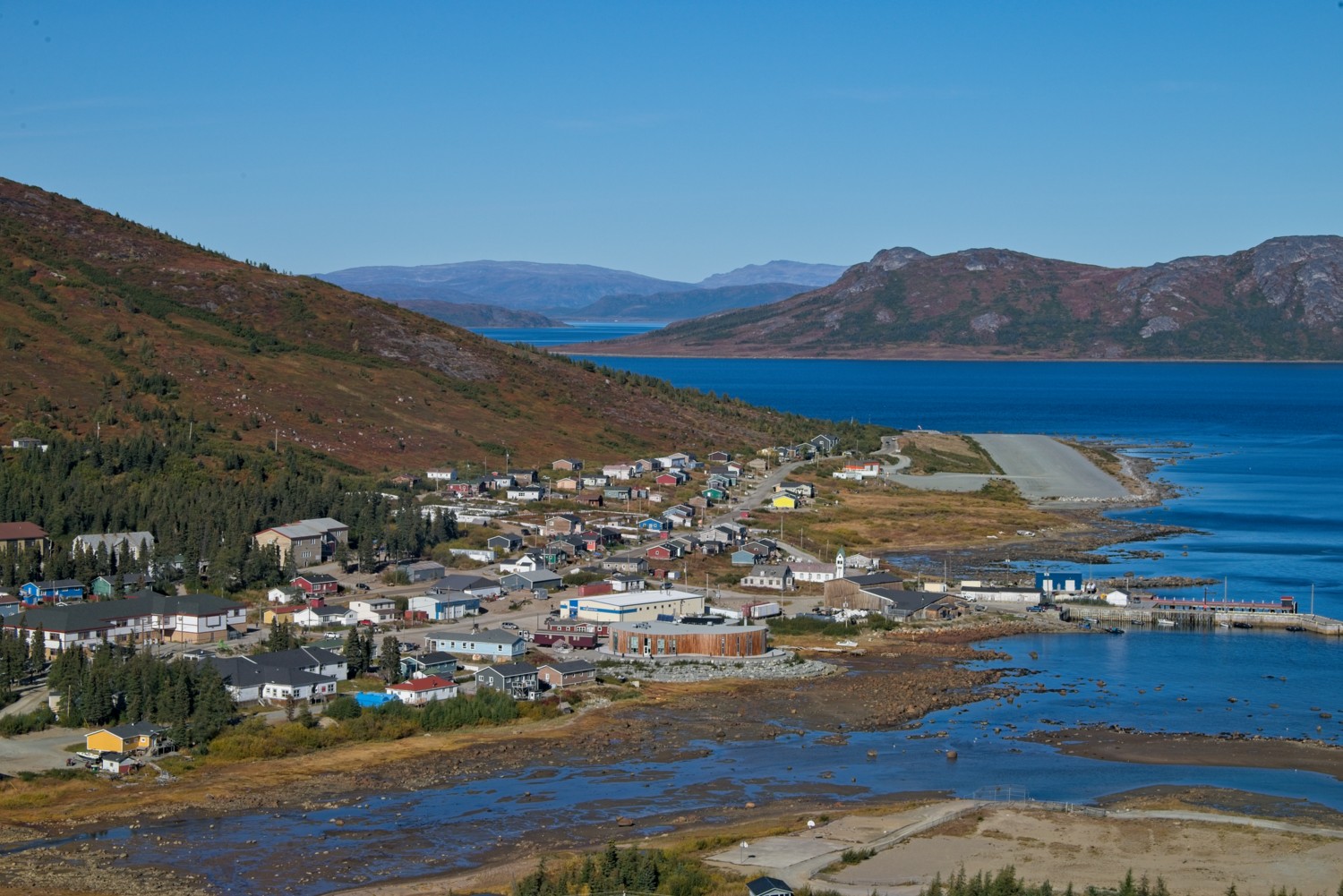 The town has a small airfield that Twin Otter aircraft provide a daily service. The only other transport is a seasonal coastal ferry. The local roads go nowhere beyond the town!
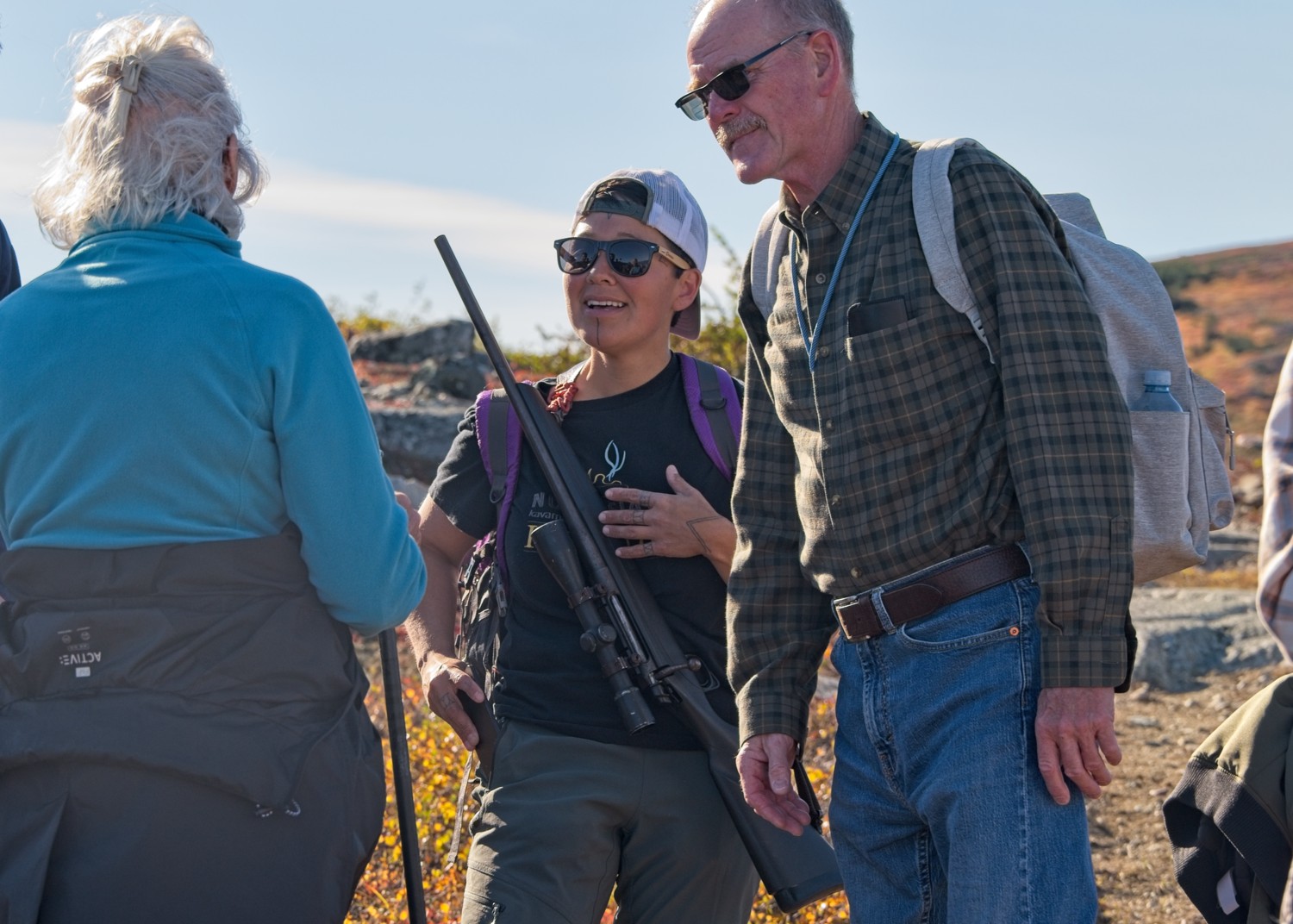 Our ship guides, and here, our local Inuit guide, carried rifles and pistol flares as protection from bears.
L’Anse aux Meadows, Newfoundland, Canada
This UNESCO World Heritage site preserves the only confirmed Viking settlement in North America, dating back to approximately 1,000 AD, 500 years before Columbus. Located on Newfoundland’s remote northern tip, L’Anse aux Meadows combines extraordinary archaeological significance with dramatic coastal landscapes where Norse explorers first set foot in the New World.
L’Anse aux Meadows National Historic Site encompasses both the remains of 11th century Norse buildings, as well as a reconstruction of the settlement. It is thought that the settlement was only there for around 10 years, as the cost of these trading expeditions to and from Greenland were too expensive. The settlement was abandoned and the buildings burnt, leaving little trace. It wasn’t until 1960 that the site was discovered and excavated.
This find confirmed the stories in the Viking Sagas that the Norse travelled west from Greenland in search of much needed resources such as timber. It also completed the circle of migration around the world, from Africa.
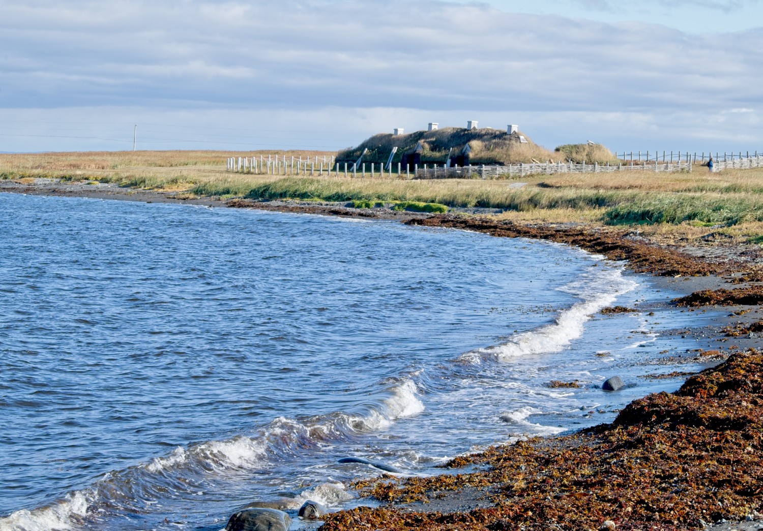 The reconstructed settlement.
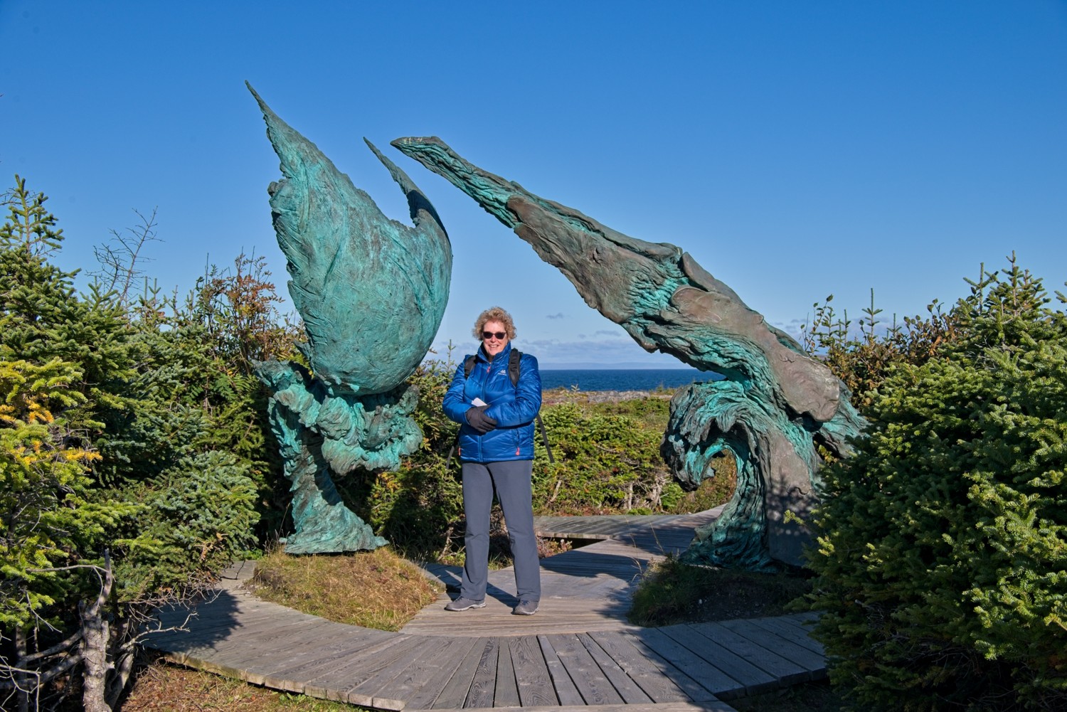 A boardwalk connected the visitor centre with the site. Part way down was the ‘Meeting of Two Worlds’ sculpture.
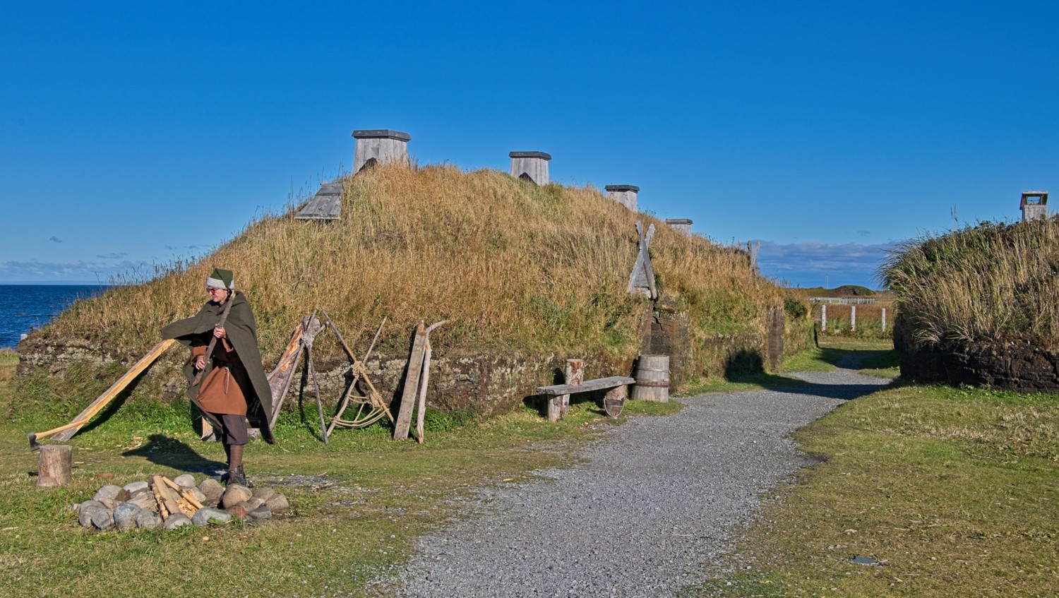 The buildings were sod houses. The structures were timber framed, mounted on earthen foundations, with the roof covered in turf.
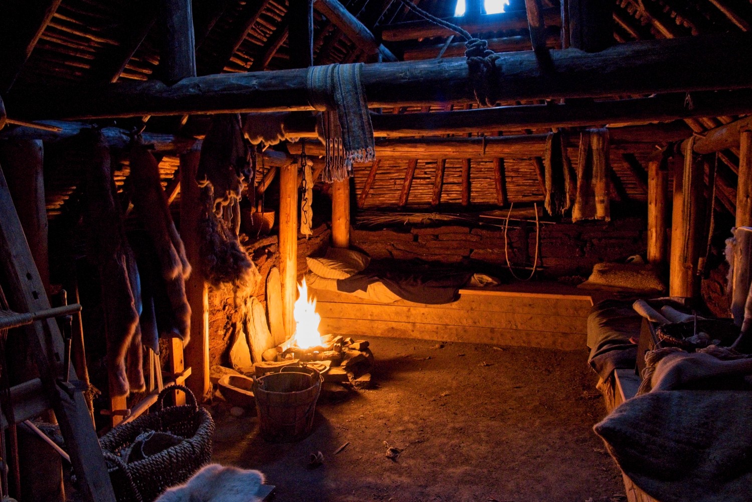 The large hall contained a small private room and communal living and working quarters for the rest of crew.
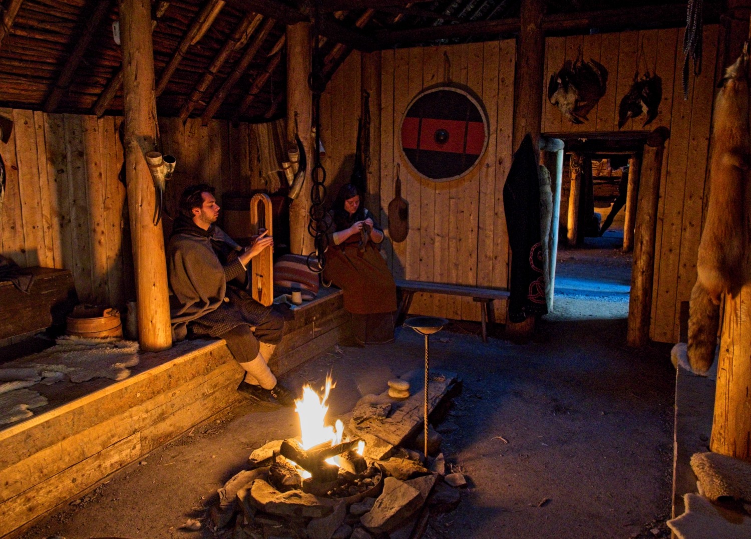 The Norse traded cloth and milk for furs from the local Aboriginal peoples
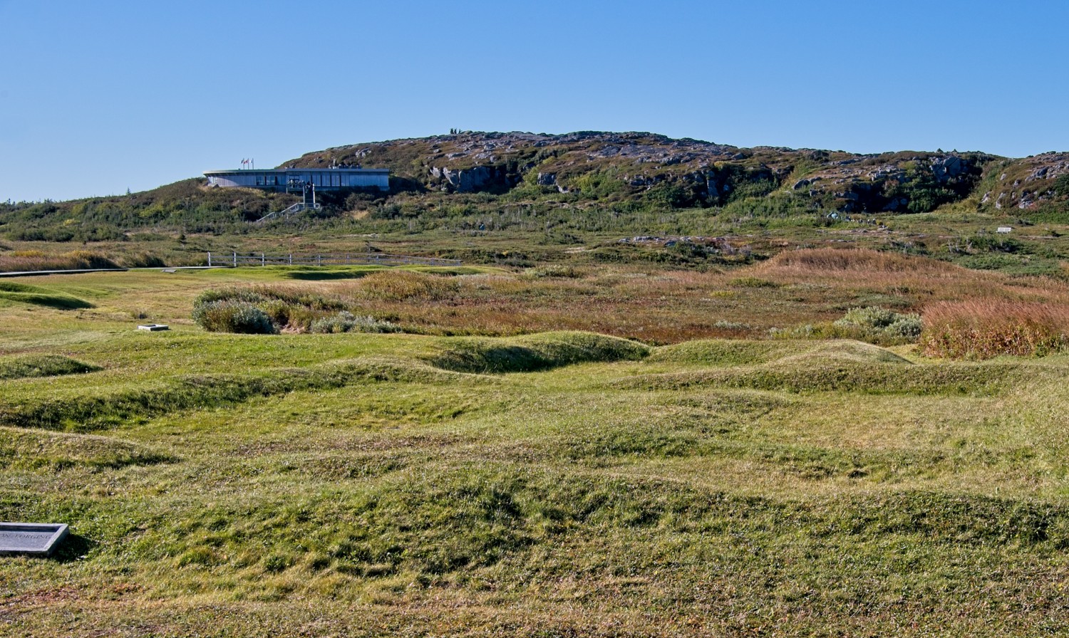 The remains of the settlement, with the visitor centre in the background
Norstead
Close to the National Historic Site is Norstead, a reconstruction of a Norse trading port. The site includes the ‘Snorri’, a reconstructed Viking longboat that sailed from Greenland to Newfoundland, in the year 2000, to mark the 1,000th anniversary of the Norse arriving in North America. Re-enactors retold the stories of the Norse settlers and traders.
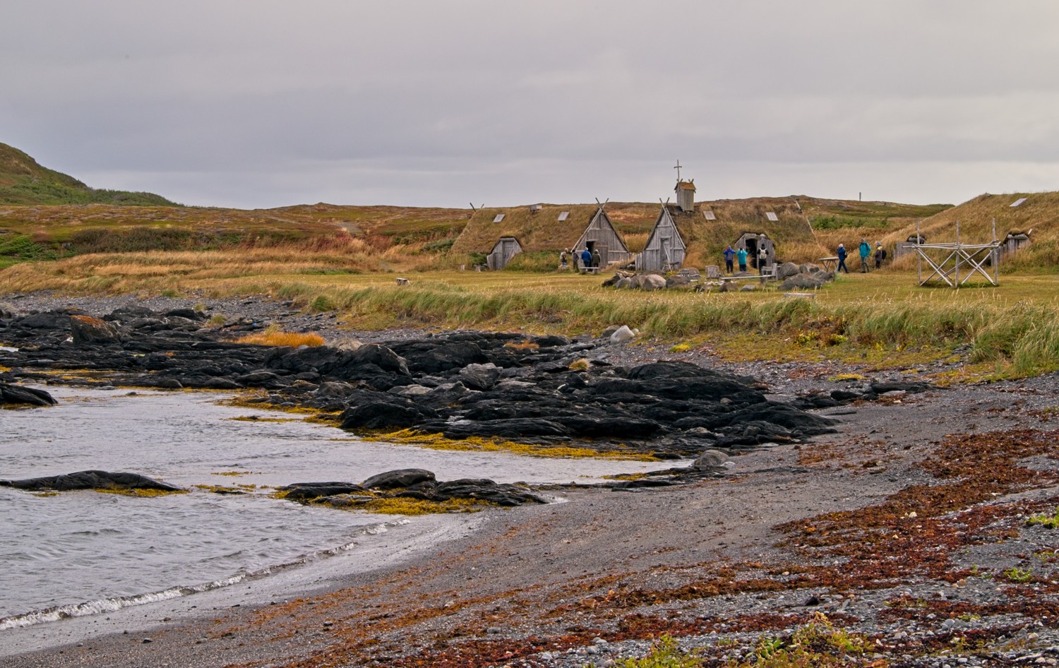 The settlement is situated in a good coastal location
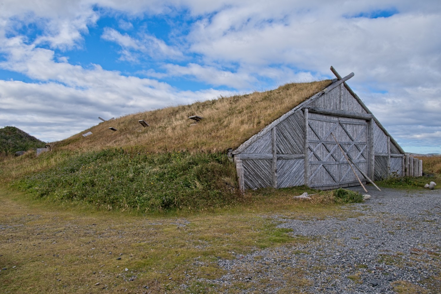 This reconstructed boathouse houses the ‘Snorri’
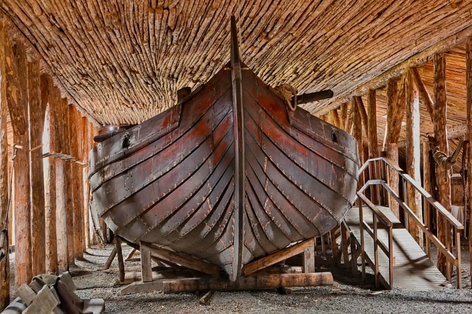 The ‘Snorri’ is a full-scale, open-deck replica of a traditional Viking ship, measuring 54 feet long and 16 feet wide. It honours Snorri Thorfinnsson, the first European baby recorded as born in North America.
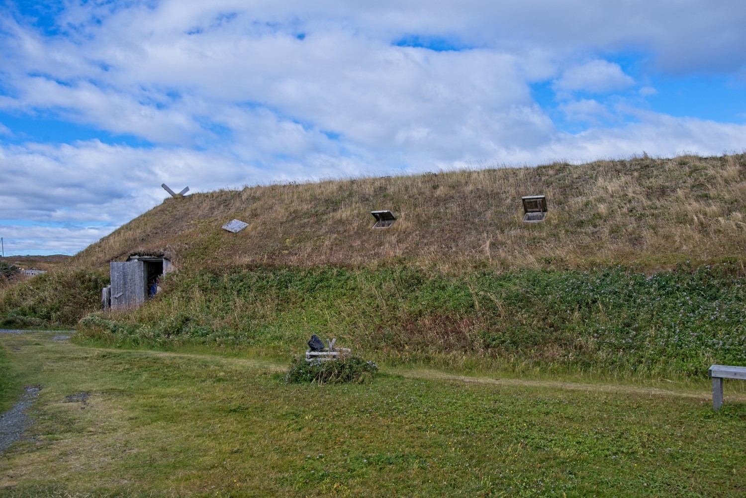 The Chieftain’s Hall was the main communal space where up to 30 people lived
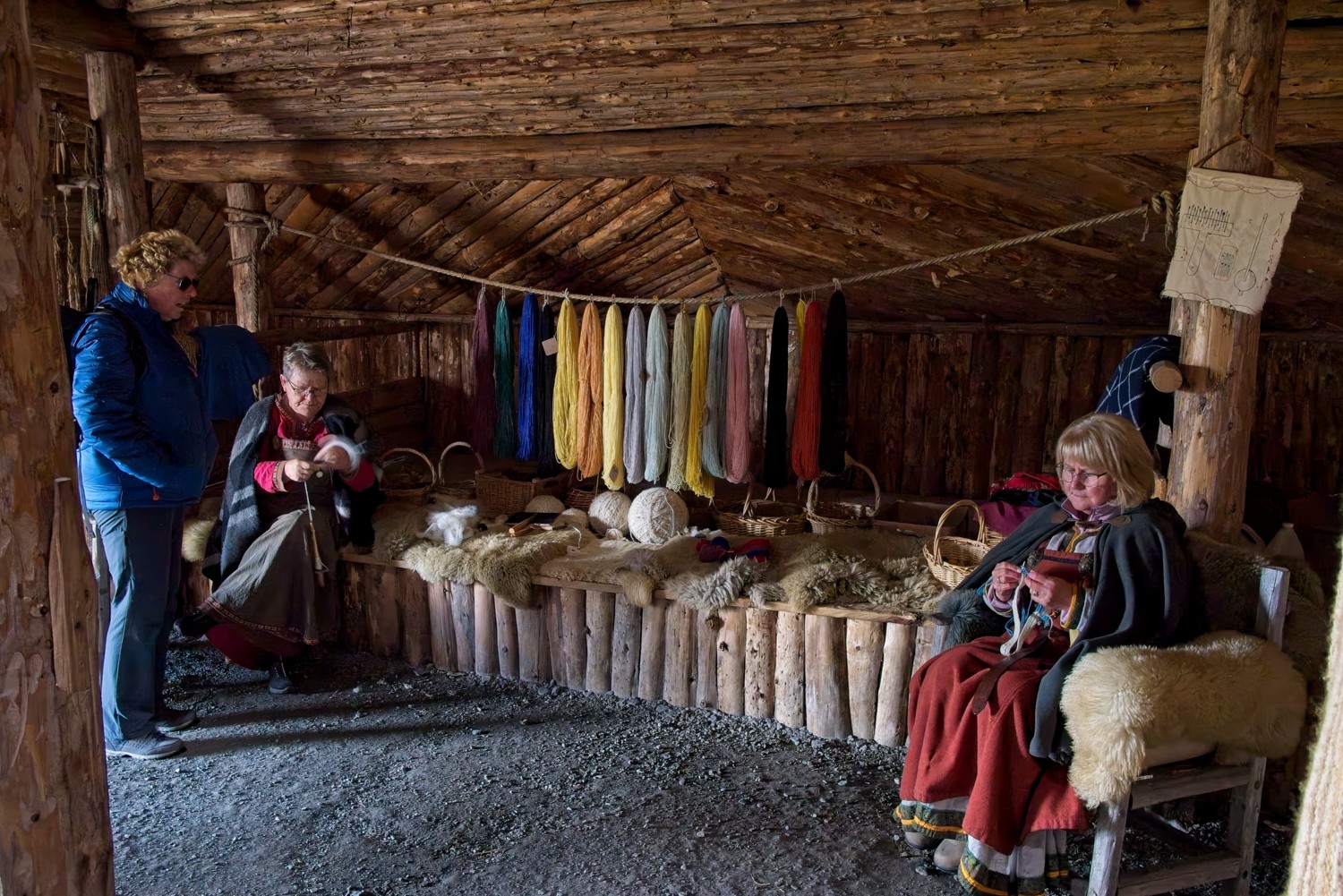 Weaving and crafting in the hall
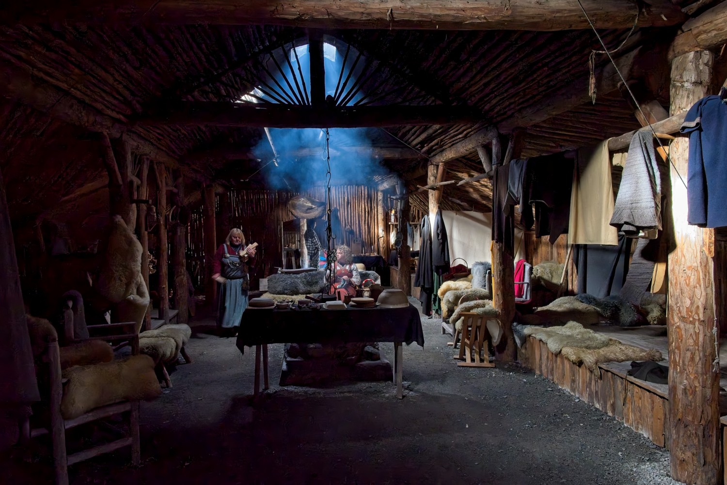 When the men were away on their trading expeditions, the woman were left to manage the whole settlement
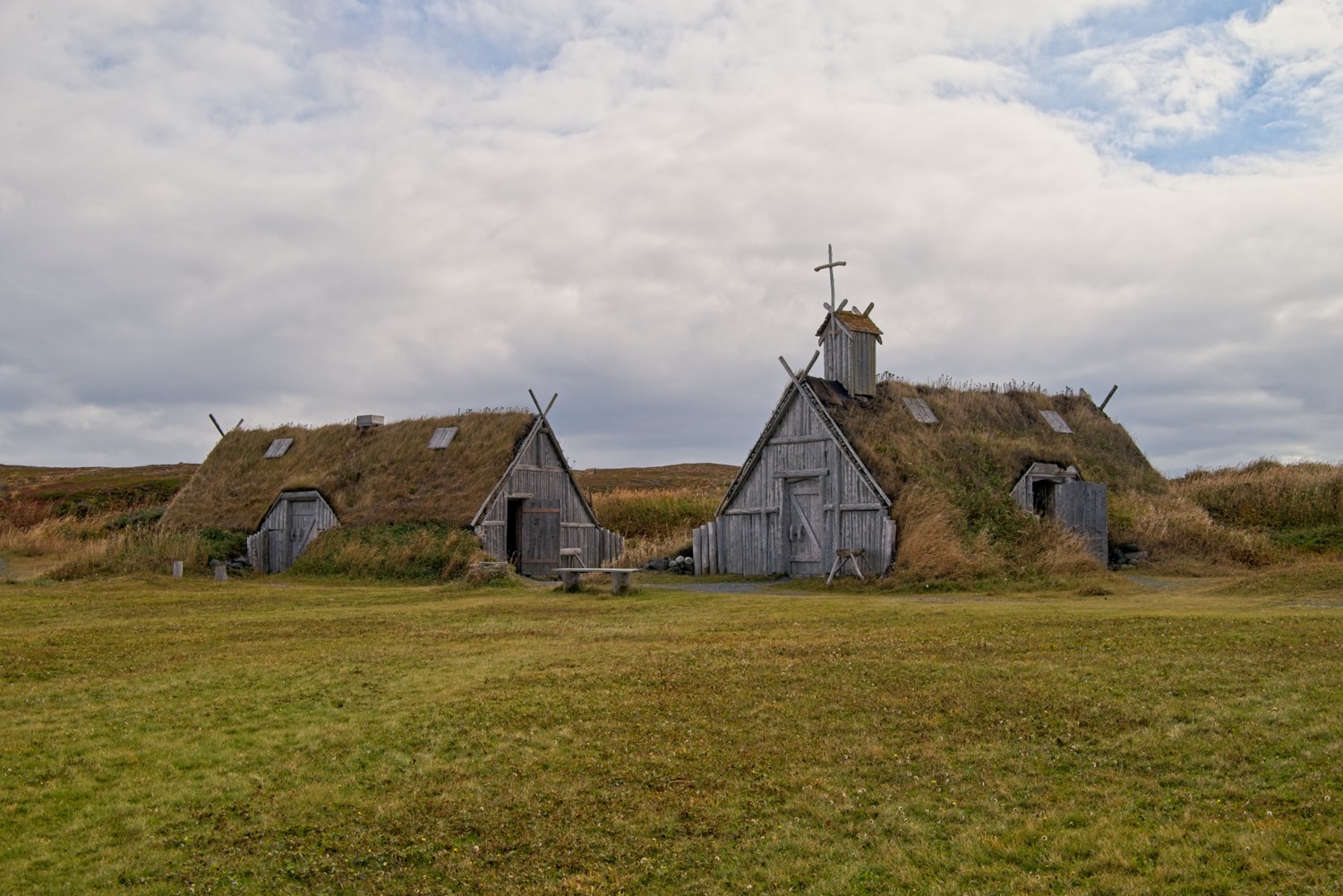 Christian church and forge. They made iron tools, nails and weapons in the forge. The iron ore was extracted from the peat bogs surrounding the settlement.
Bonne Bay, Newfoundland, Canada
This was our second visit to Bonne Bay and the Gros Morne National Park, having spent time here on our Maritime road trip, 3 weeks earlier. In the morning we came ashore at Norris Point and walked a 2-mile trail in the hills above the town. In the afternoon the ship repositioned to the other side of Bonne Bay, so we could go ashore at Woody Point for access to a walking trail on the Tablelands.
Norris Point
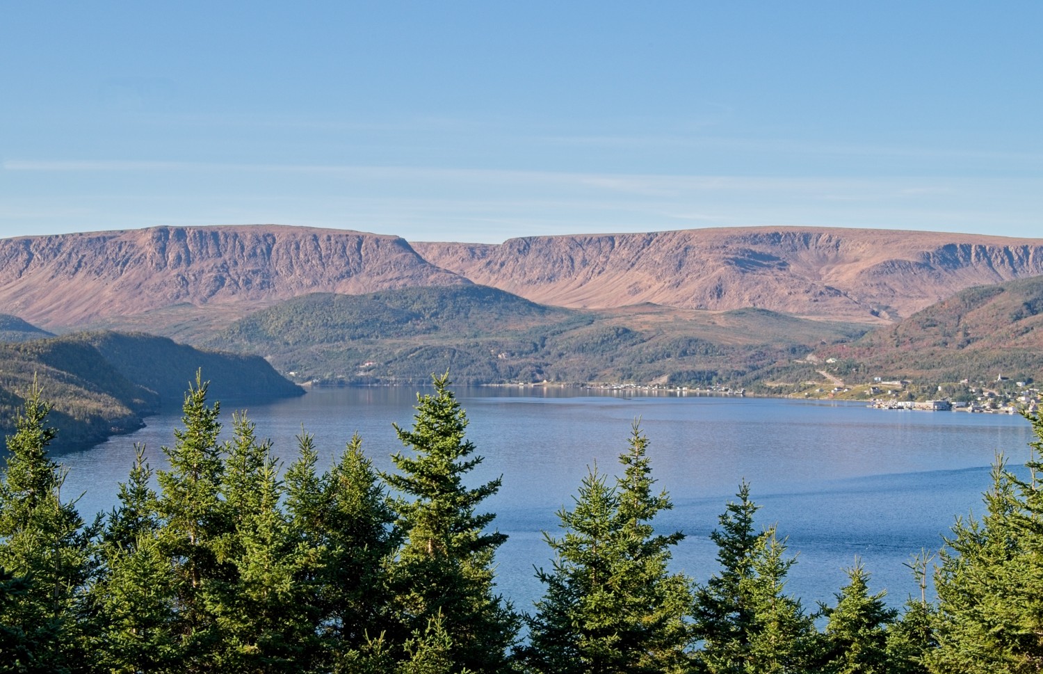 At the top of the trail was this view of the Tablelands across the East Arm of Bonne Bay, with the community of Woody Point on the shoreline. In the afternoon we walked into the valley between the two huge orange-brown escarpments of the Tablelands.
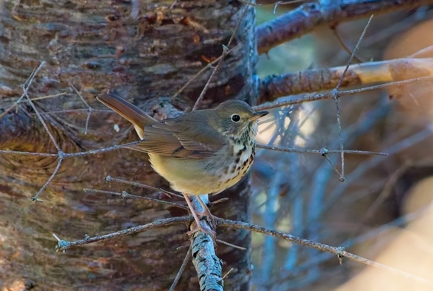 A Song Thrush
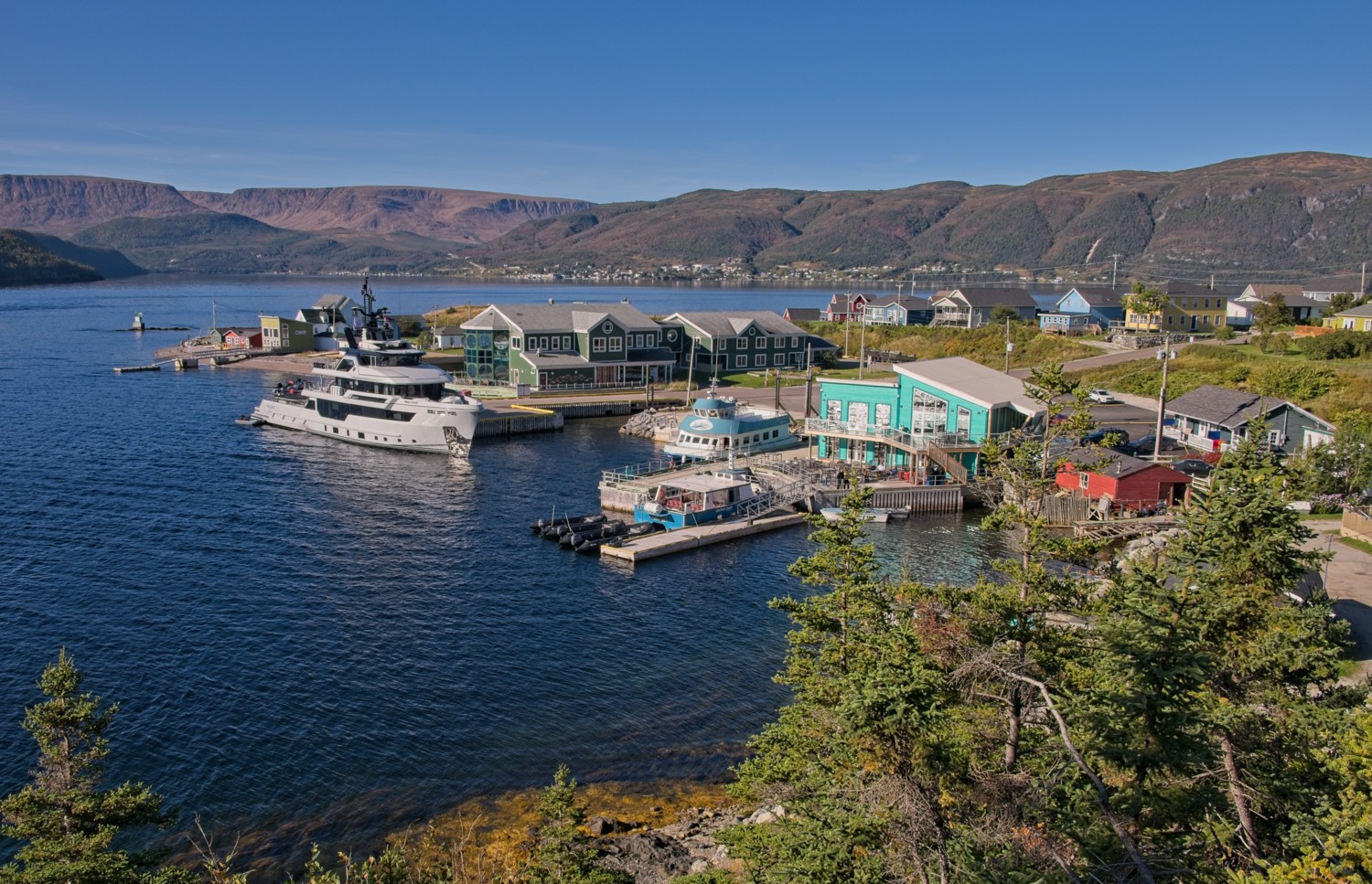 Back to the landing dock in Norris Point at the end of the trail
Tablelands
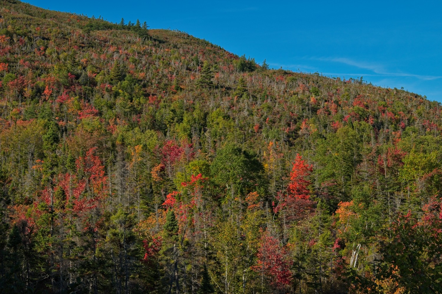 The trees above Woody Point are evergreen trees of the Boreal forests, commonly found in the Maritimes. However, there also a number of Maple Leaf trees that showed their beautiful orange autumnal colours.
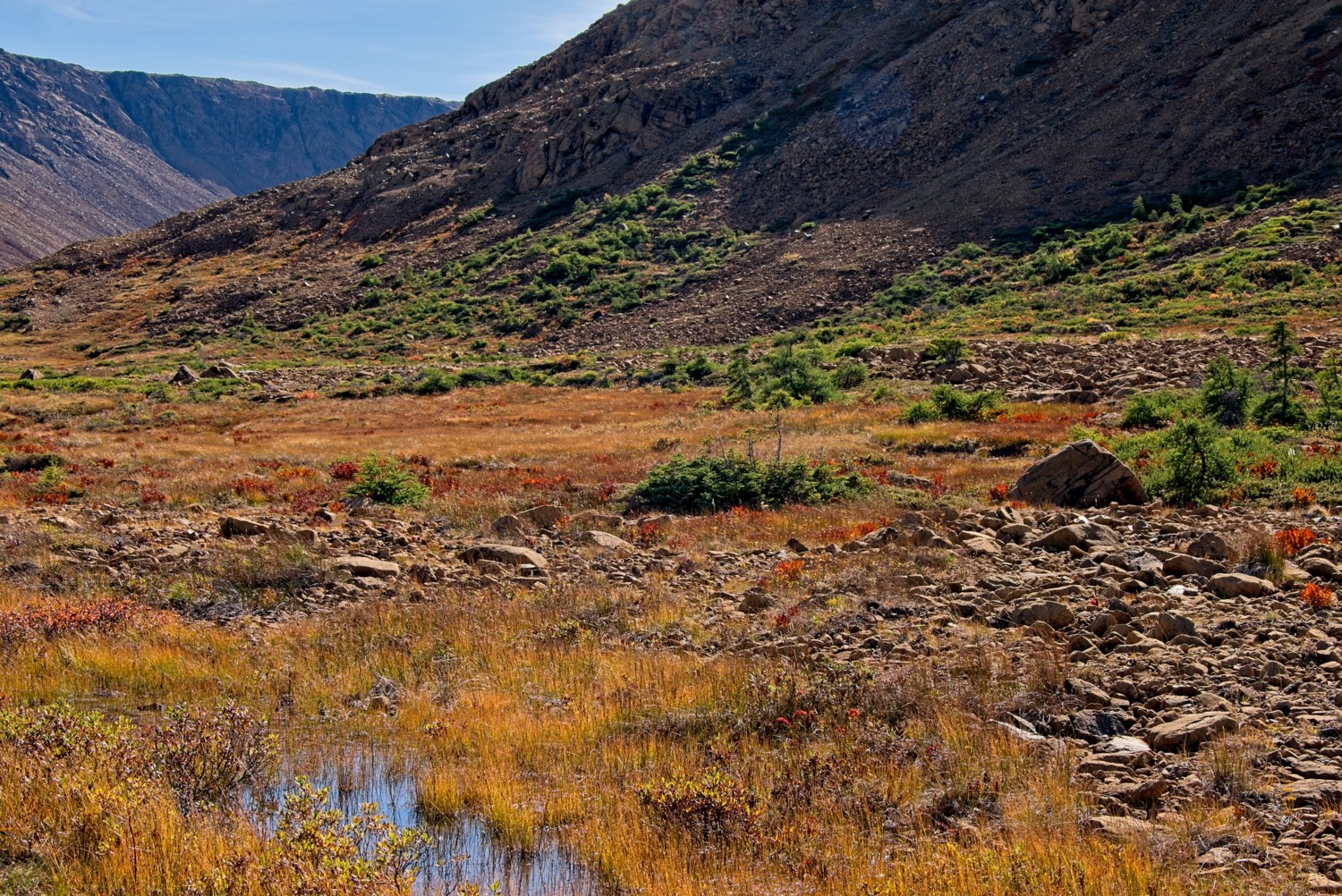 A path winds its way from the Tablelands walk trailhead to a viewing platform at the beginning of the valley. Along the way small brooks and streams run down the slopes to vegetation on the lower slopes.
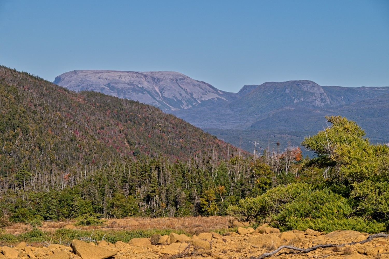 Crow Hill with Gros Morne Mountain in the background.
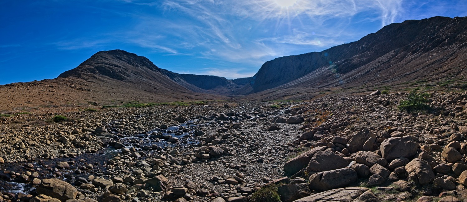 Panoramic view of the valley and escarpments of the Tablelands. The exposed peridotite mantle rock was created by plate tectonics 500 million years ago. The high metal content and lack of key nutrients in the rock mean almost nothing can grow there.
In a couple days the cruise finishes in Halifax, Nova Scotia and we catch our flight home from there. We have had a fantastic time exploring Canada, Greenland and the Arctic and we hope you have enjoyed some of the photos.
We look forward to seeing you soon.
Charlotte & Graham
….

