Chile is situated along the western seaboard of South America. It extends approximately 2,700 miles from its boundary with Peru, in the north, to the tip of South America at Cape Horn, a point only about 400 miles north of Antarctica. A long, narrow country, it has an average width of only about 110 miles, with a maximum of 217 miles at the latitude of Antofagasta and a minimum of 9.6 miles near Puerto Natales. It is bounded on the north by Peru and Bolivia, on its long eastern border by Argentina, and on the west by the Pacific Ocean. This huge country has a population of only 20 million people.
Having arrived in Santiago after a long journey south from Costa Rica, we immeadiately headed north to one of the most interesting landscapes in the world.
Atacama Desert
This thin coastal desert, squashed between the Pacific Ocean and Andes Mountains, is riddled with oases where it bursts into life, both in fertile river valleys and on the semi-arid Altiplano (Andean Plateau), thousands of feet above sea level. Add to the mix, the planet’s tallest volcano, highest geysers, oldest mummies and clearest skies and you’ve got a recipe for an epic adventure.
This geological wonderland is said to be the driest nonpolar desert on Earth, with its highest point reaching almost 22,615 feet at Ojos del Salado. This is due to its less than one-millimeter yearly rainfall, making it fifty times drier than Death Valley and much drier than the Sahara Desert.
San Pedro de Atacama is a village situated at 8,000 ft, and is the gateway to explore the Atacama Desert. We stayed for 3-days in the Hotel El Refugio (The Refuge), a wonderful modern hotel built in the Adobe style, with views across the Andes. From here we drove out to explore different landscapes in the desert.
The village and the surrounding area is dominated by the Licancabur Volcano. This 19,400 ft dormant, snow capped, volcano is located on the border between Chile and Bolivia in the Central Andes. It has a crater lake, which is amongst the highest in the world.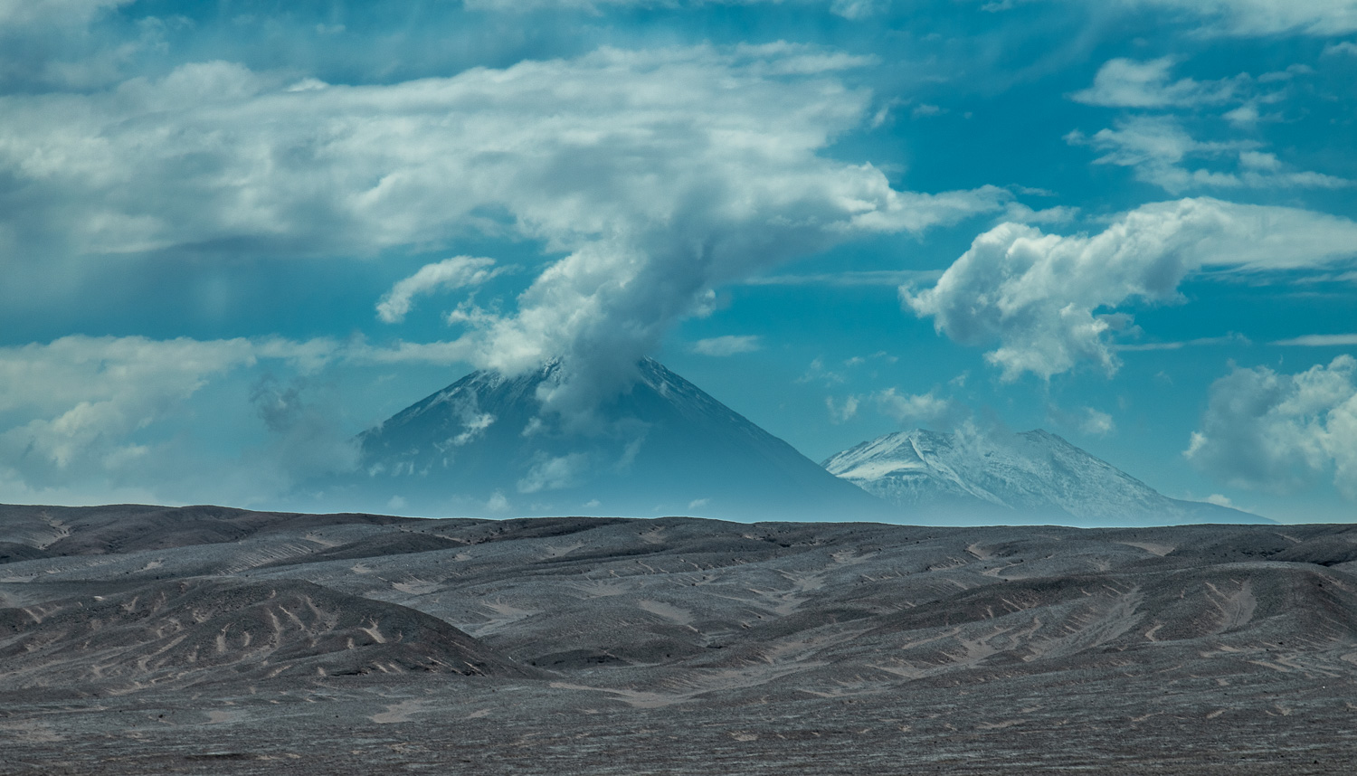 View of the Licancabur Volcano during the drive from the airport to San Pedro de Atacama
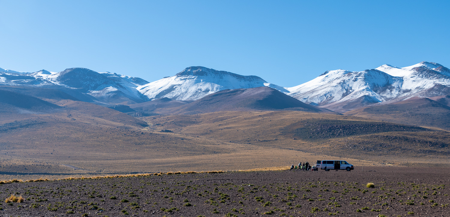
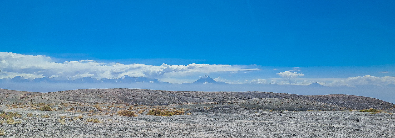 The panorama of the Andes was a magnificant sight during our drive
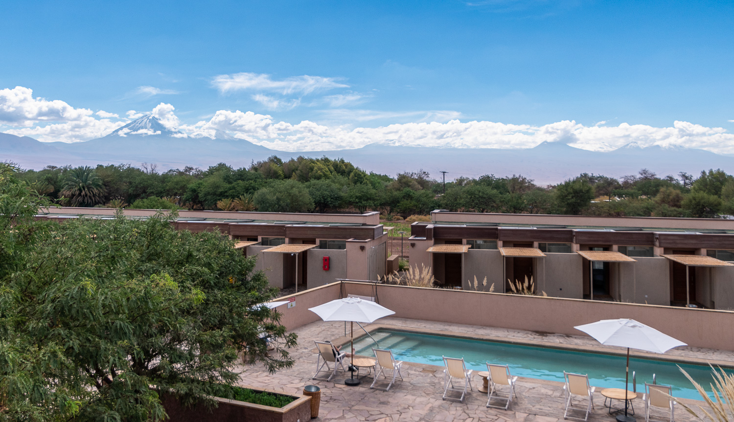 View from the hotel terrace of the pool and some of the Adobe style rooms, with the backdrop of the Licancabur Volcano and the Andes.
San Pedro de Atacama was dominated by Adobe style buildings lining narrow streets, bustling with locals and tourists. There was no shortage of bars, resturants, local travel agents offering tours and souvenir shops full of locally made products. Charlotte was in heaven!
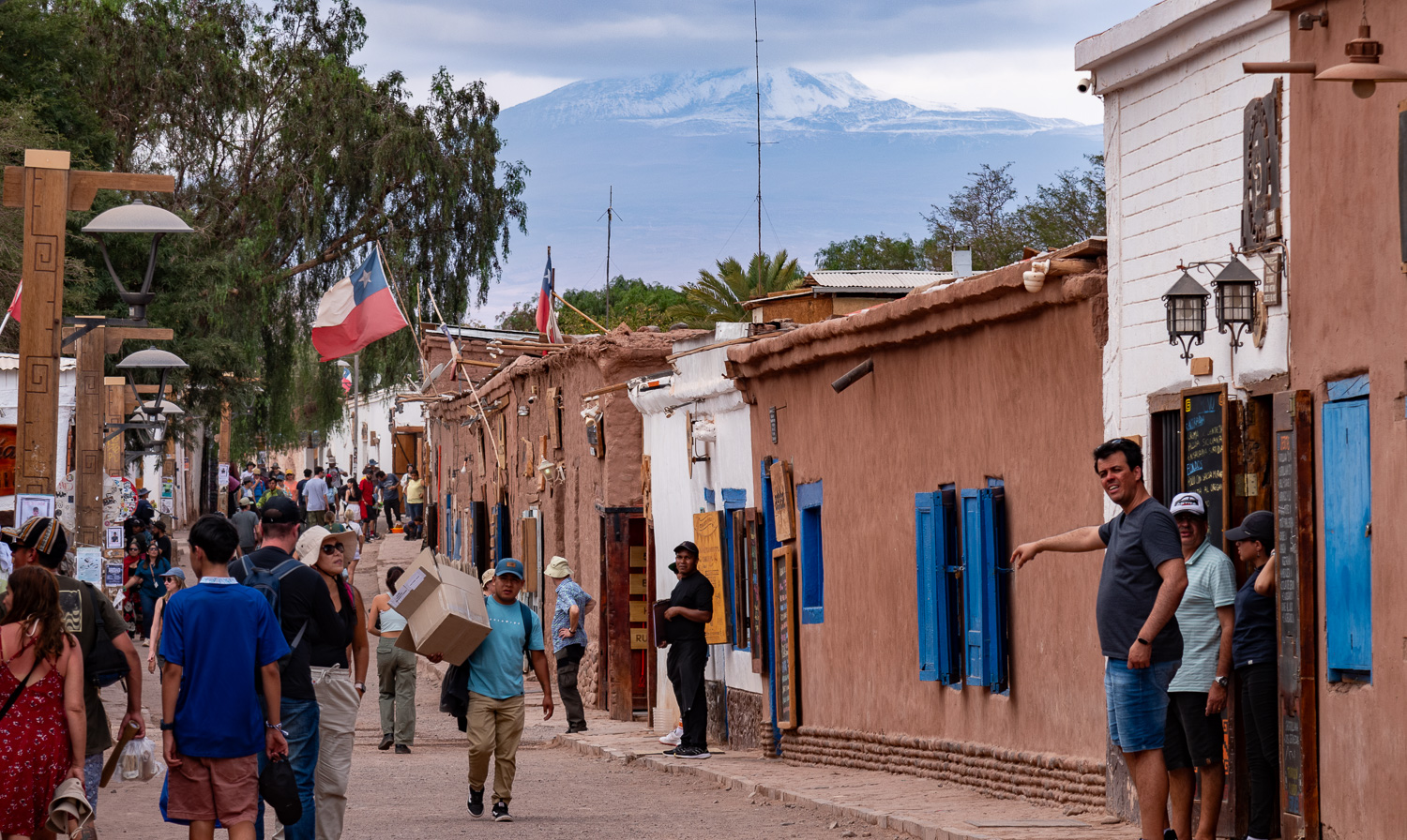 One of the many narrow streets in the village
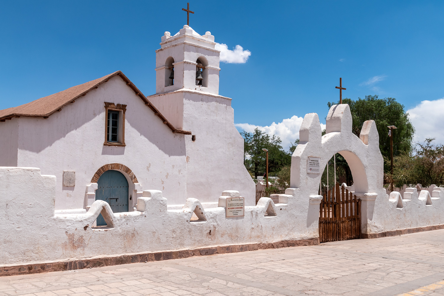 The Church of San Pedro de Atacama is a Catholic church constructed during the Spanish colonial period, it is reportedly the second oldest church in Chile
Over the next few days we explored some of the areas in this beautiful and dramatic desert; here are some of the highlights.
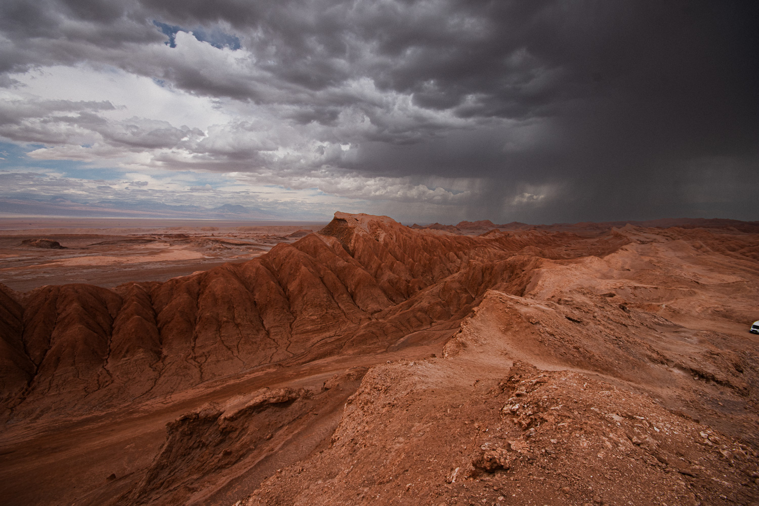
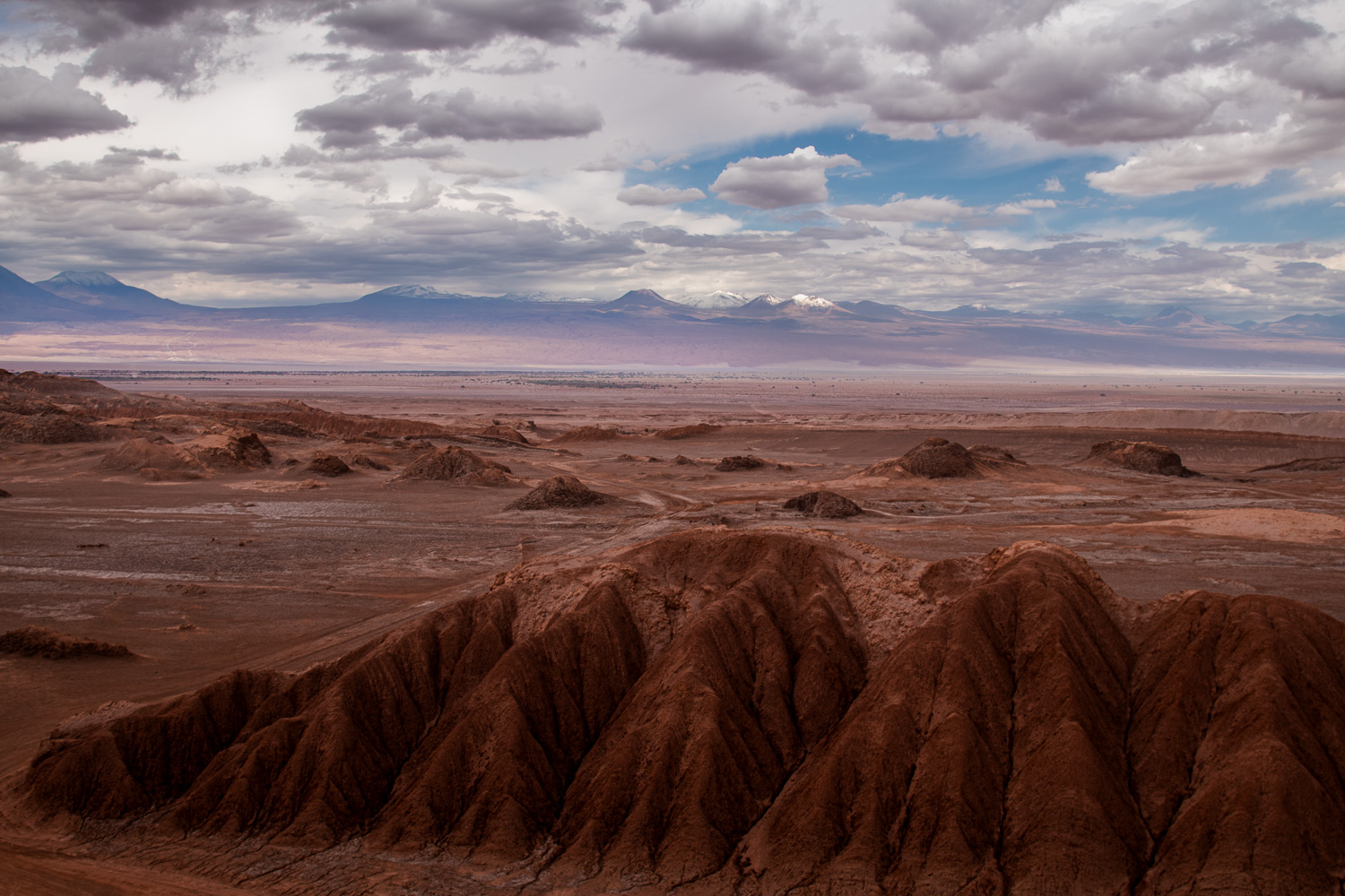
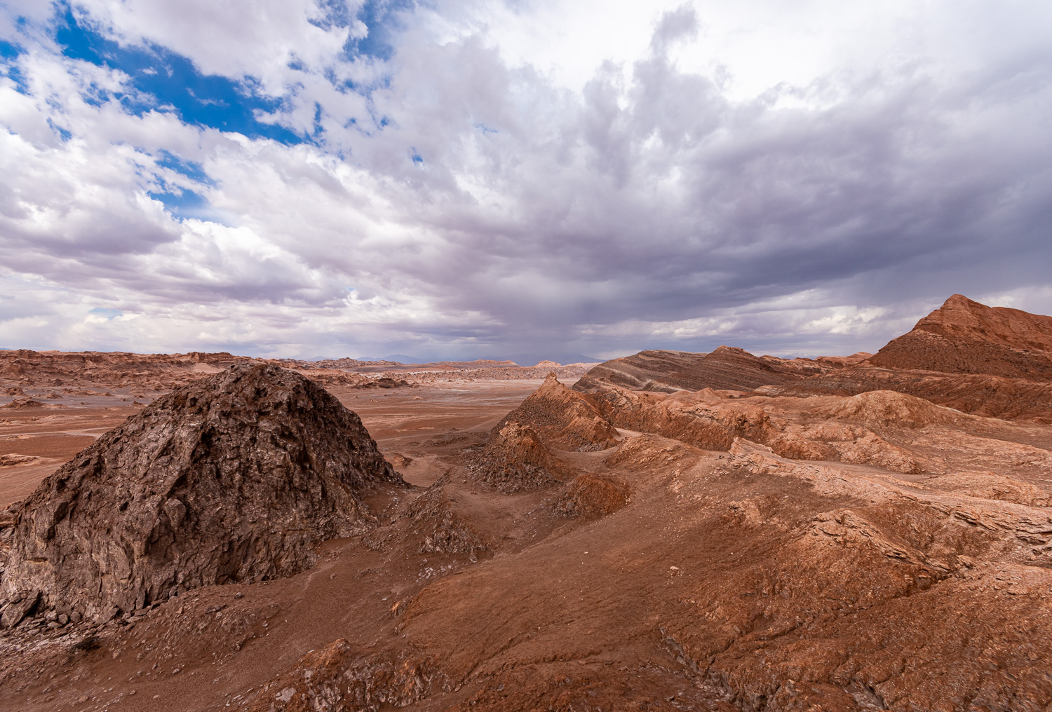
Vallecito (Little Valley) is the lesser-known – but equally stunning – sister of the popular Valle de la Luna (Moon Valley) in the Atacama Desert. It showcases the lunar-like landscape of the Cordillera de la Sal (Salt Mountain Range). It is also the location of the famous magical bus abandoned in the middle of the desert.
One of the interesting rock formations was the ‘Eye of the Condor’, so called as the rock is said to respresent a condor’s head with a strategic hole for the eye.
 As we were viewing the ‘Eye of the Condor’ a rare occurence happen. We were caught in heavy hail storm, with small pea-sized ice pieces bombarding us. Apparently it doesn’t rain often in the world’s driest desert!
 Views across to the Andes behind the Eye of the Condor rock formation
Further down the Little Valley is the Magic Bus that used to be a commuter bus in the 1960s, which now sits abandoned in the middle of the desert. It’s covered in graffiti and street art, with the different colors and messages adding a touch of magic to the bus. It’s a popular stopping of point for tourists and selfie-hunters!
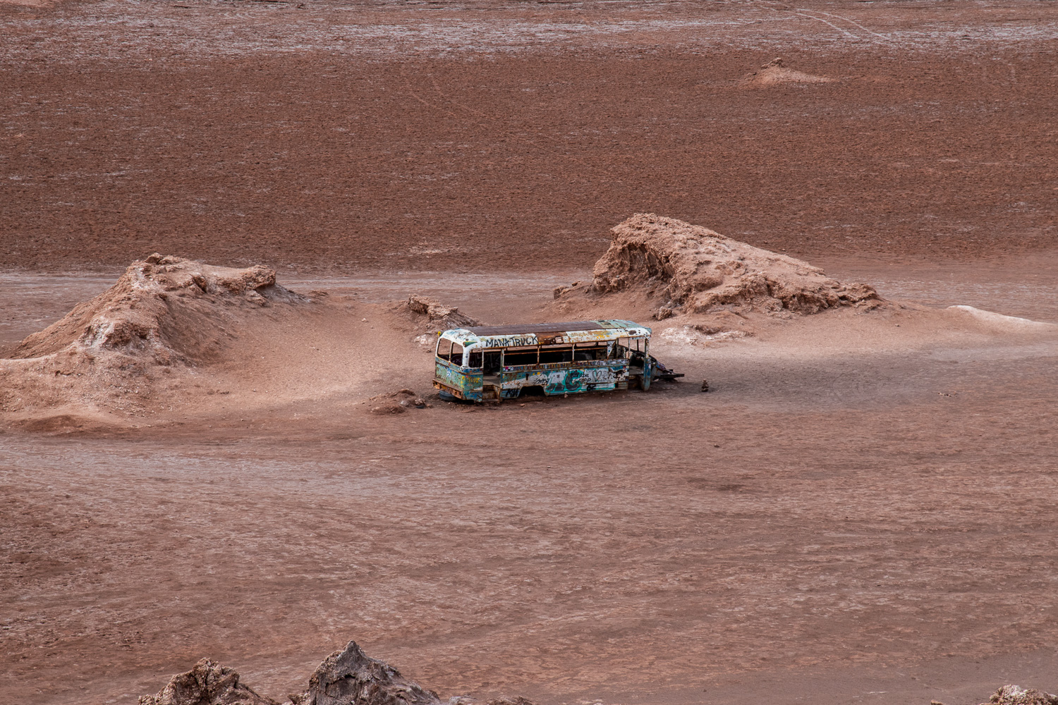 Magic Bus
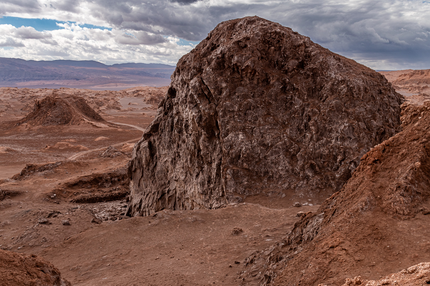
Next to the bus is the remains of an open-cast salt mine. The salt rock was blasted off one side of the domed mine with dynamite. It was used as a mine from 1925-1987.
 The domed salt mine (left) sits on the edge of the Little Valley
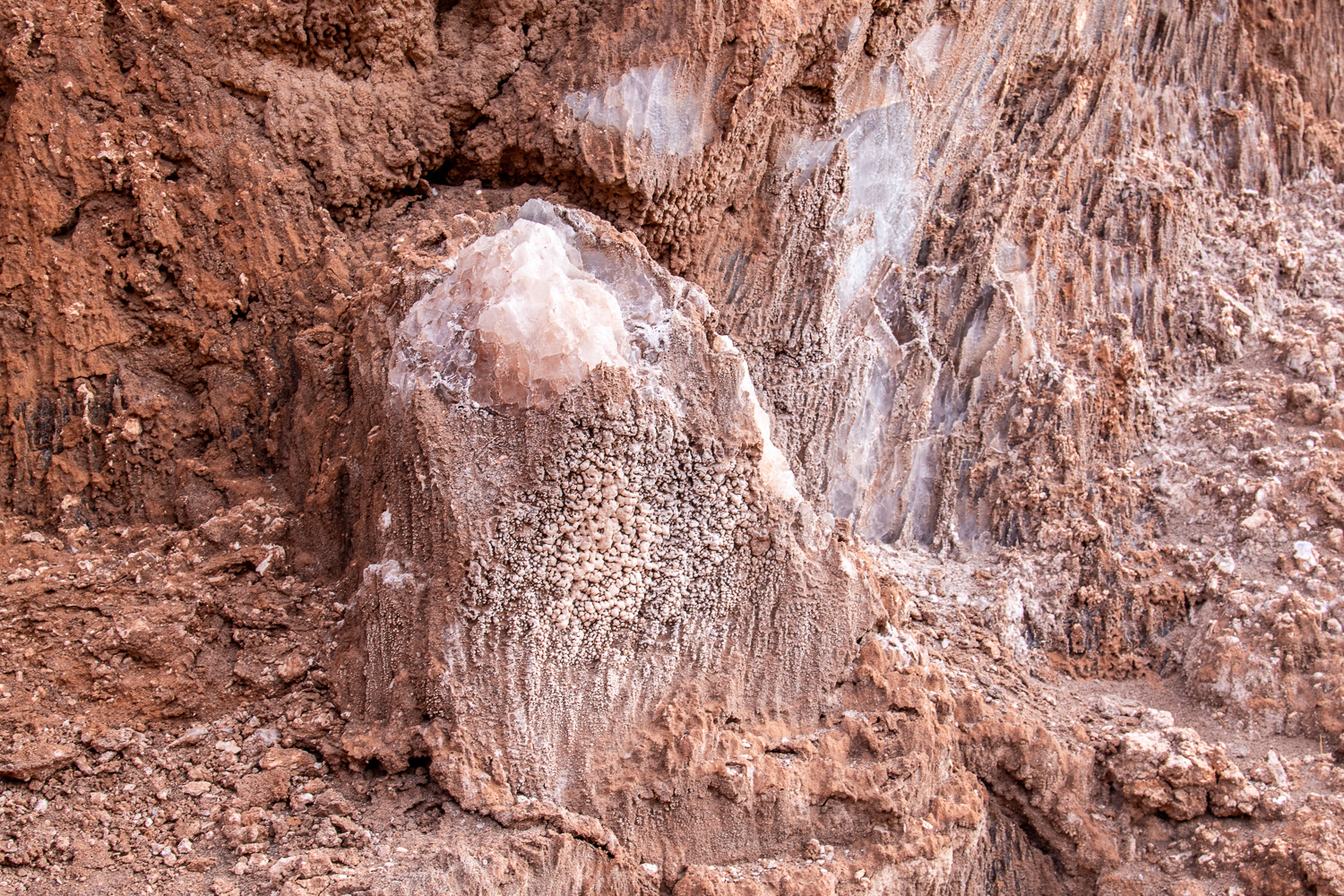
 The face of the mine. The rocks on the ground were not a product of the mining, but of weathering over the years.
 Further up the mountians, behind the mine, were more interesting salt rock formations
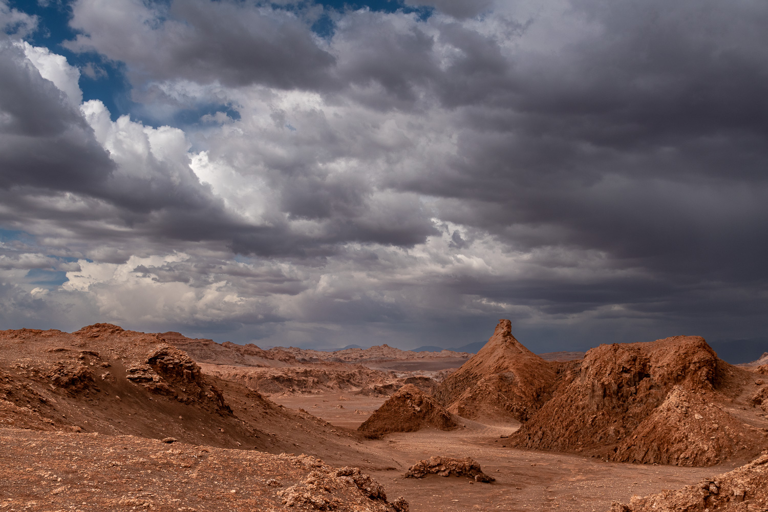 A storm brews over the Little Valley
El Mirador de Kari is located at over 8,300 feet above sea level. Known as the ‘Piedra del Coyote’, this viewpoint is one of the most famous postcards of San Pedro de Atacama, with a great panoramic view of the Cordillera de la Sal, where water, wind and temperature combined forces to produce an interesting ravine. Cordillera de la Sal is a mountain range with beautiful salt-like rock formations.
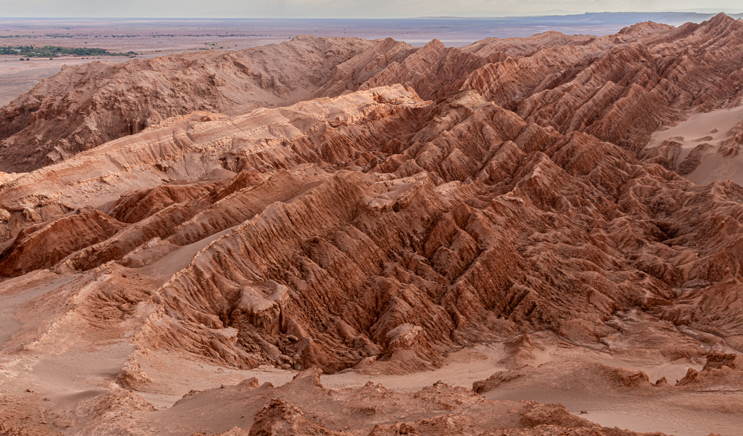 Rock formations of the ravine
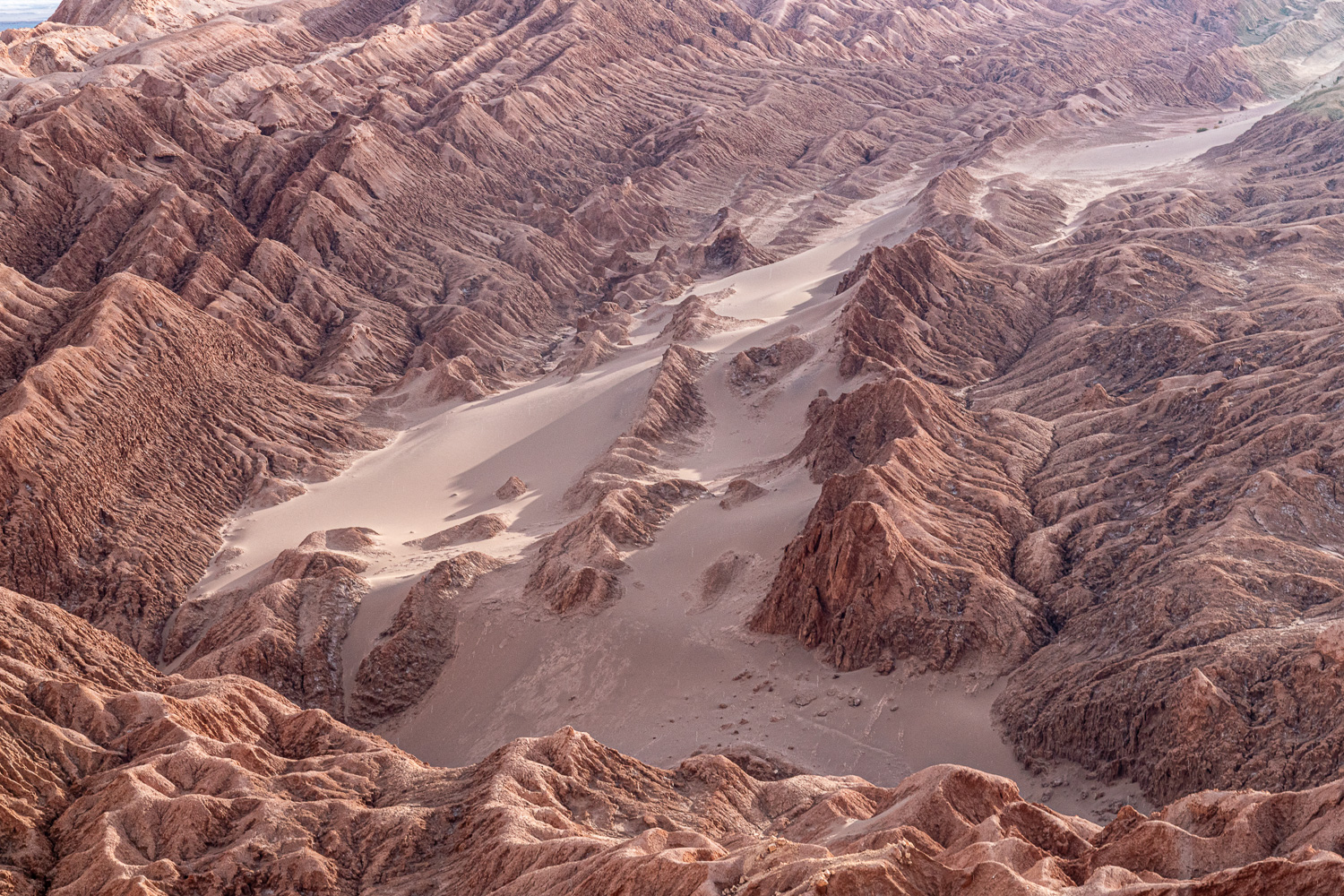 The clay rocks and sand create a surreal image
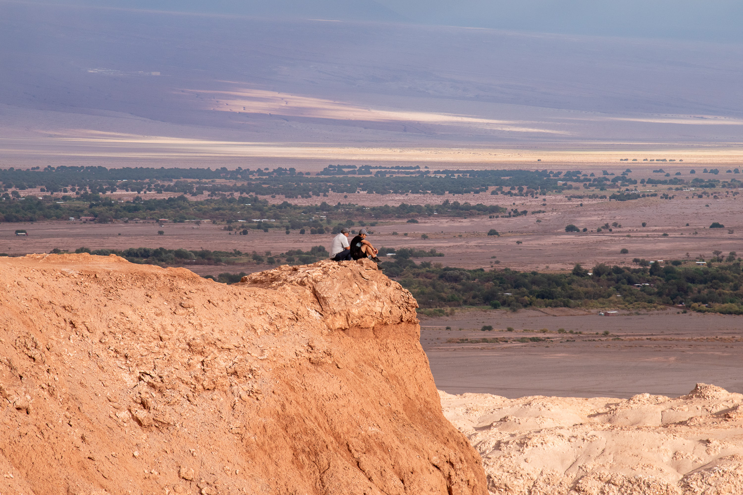 Two men perched on an overhang looking into the distance at the edge of Salar de Atacama; at 1,200 sq. miles, Chile’s largest salt flats.
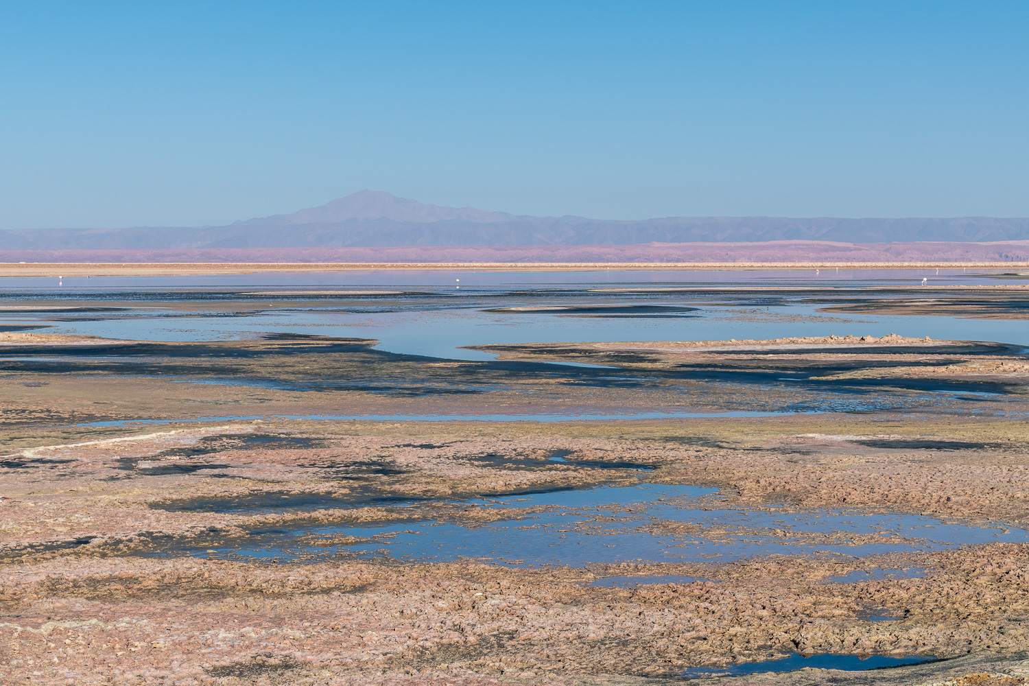
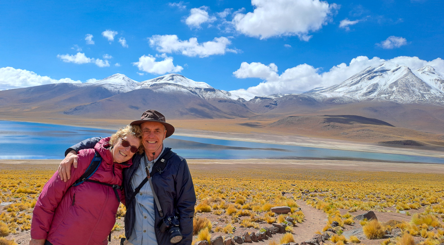
Lagunas Altiplanicas and the lagoons Chaxa, Miscanti and Miñiques. All three of these lagoons are within the Los Flamencos National Reserve, which covers over 280 square miles and seven different regions of the high desert puna. ‘Altiplano’ refers to the high plain region of the Andes which stretches from Peru down through Bolivia to Chile and Argentina. At over 13,000 feet above sea level, the lagoons are located in a stunning landscape of mountains and volcanoes, with unique flora and fauna.
The Chaxa Lagoon is located in the middle of the Atacama Salt Lake, where the salt crystals stretch out for miles and flamingoes gather to nest.
 Chaxa Lagoon
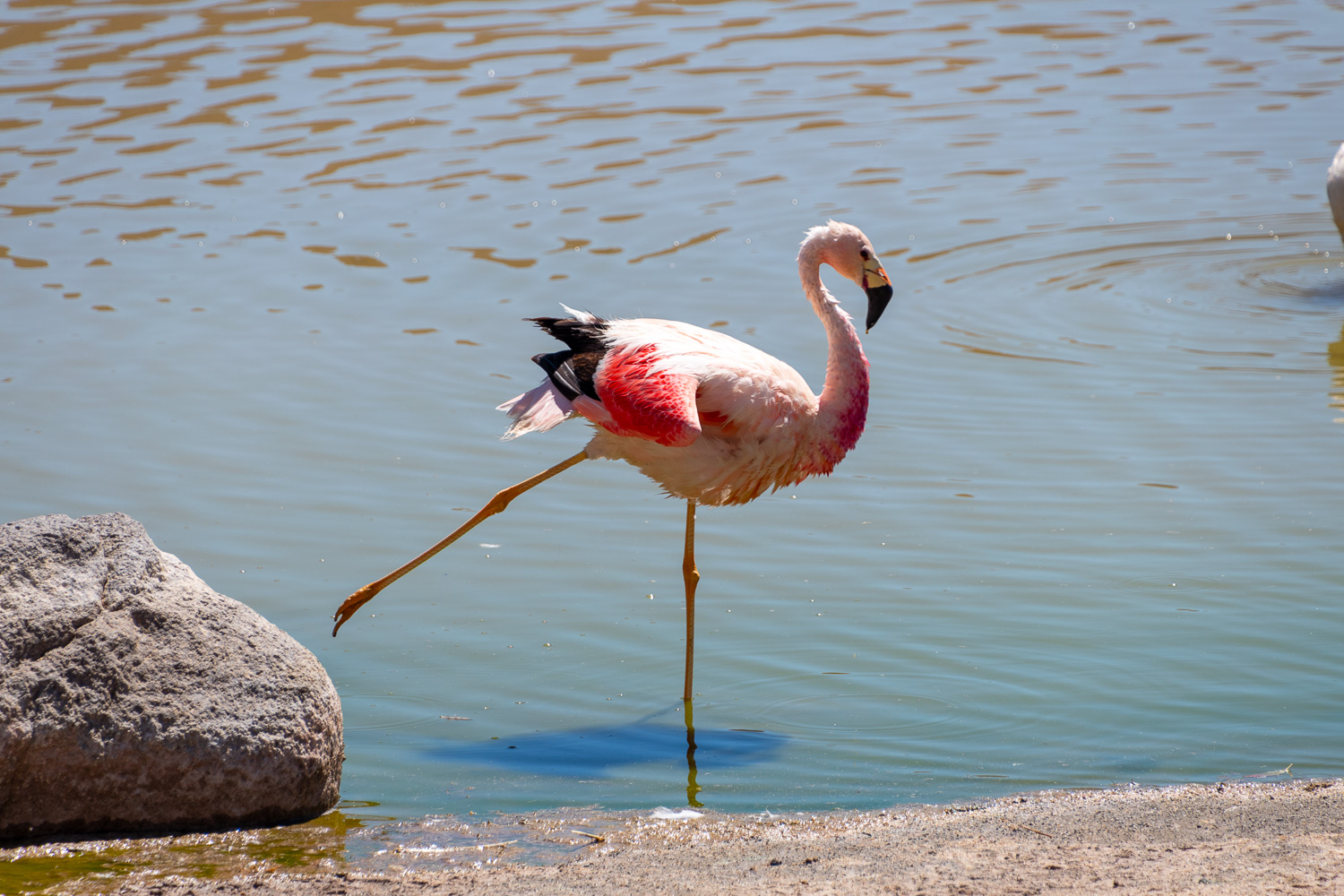
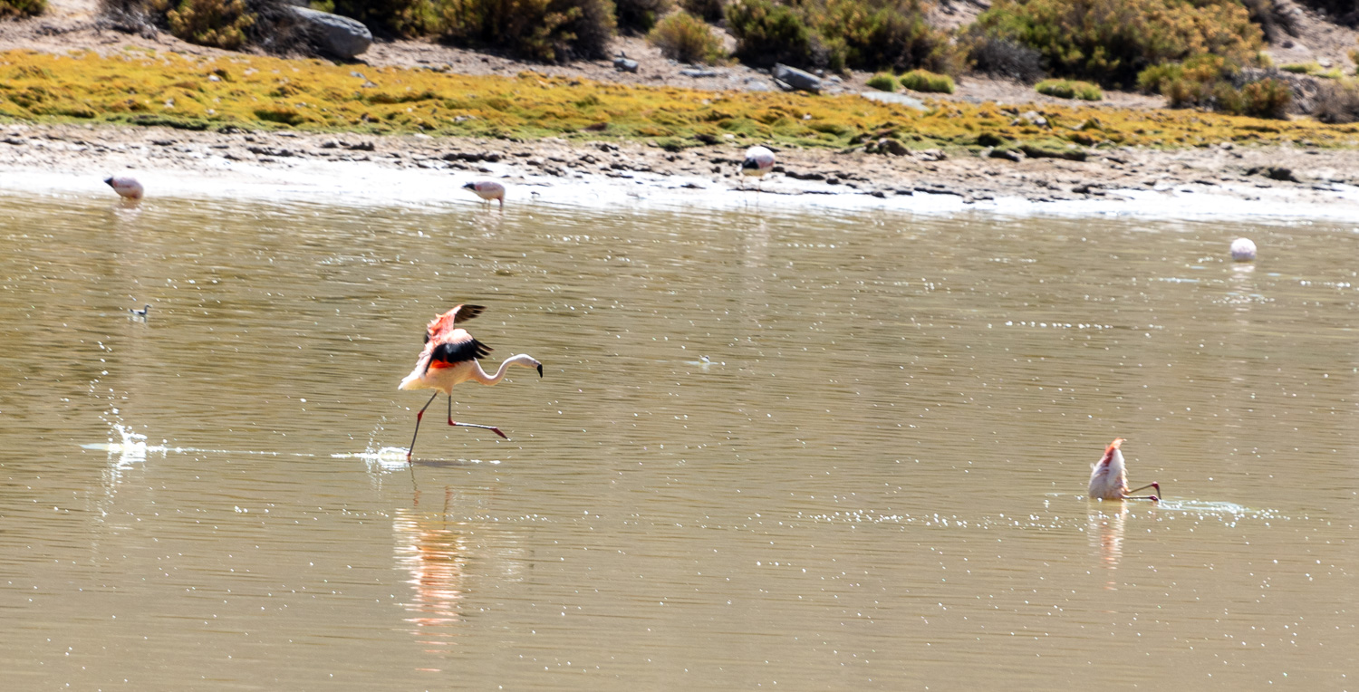
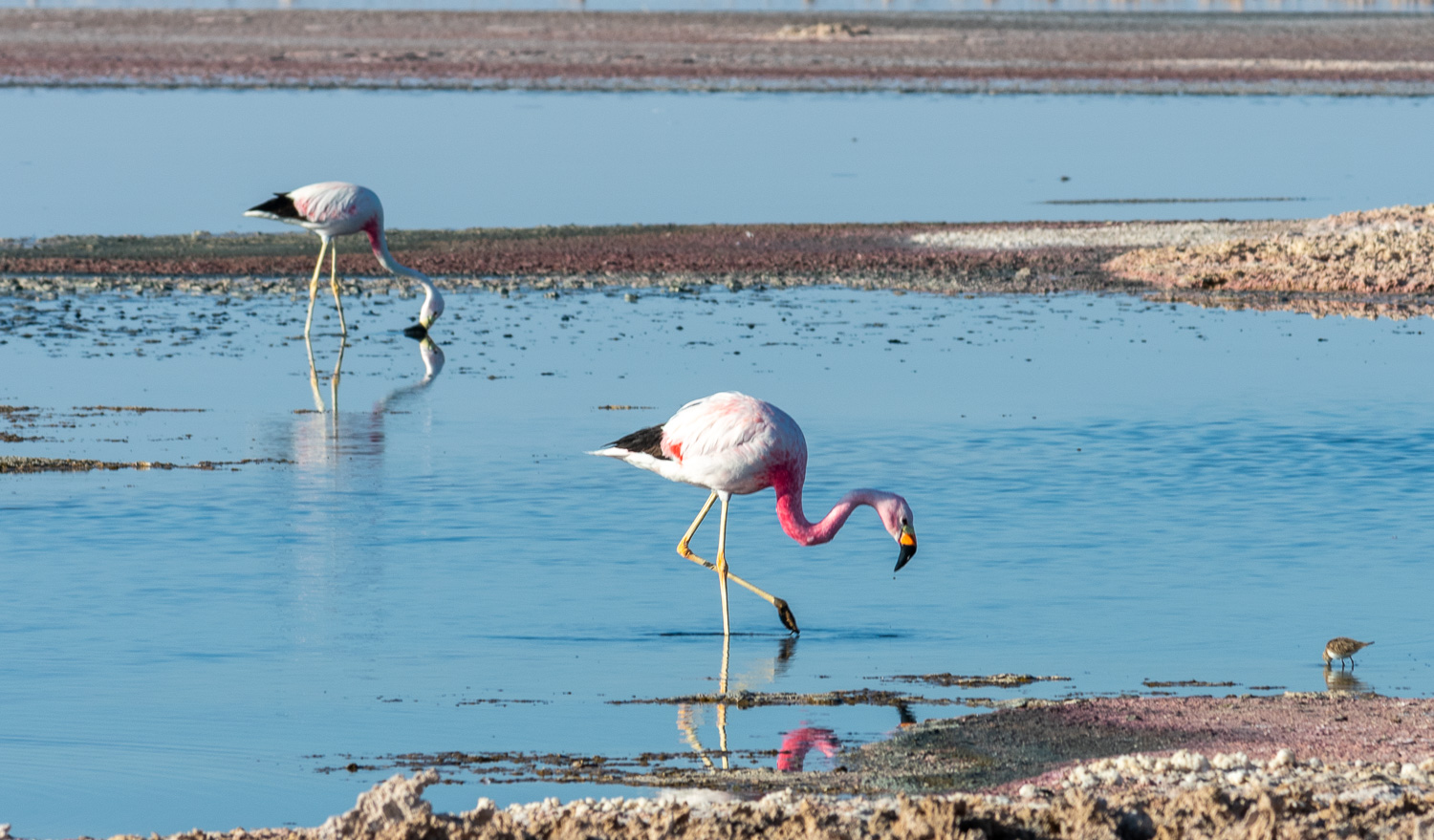 There are 5 species of Flamingo in the world and Chile has three of them. This is the Andean Flamingo and is the largest of them all.
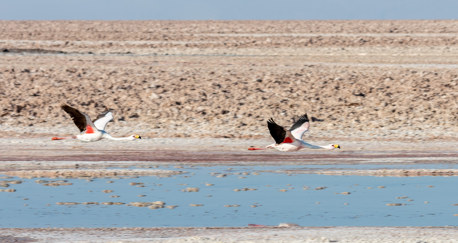 A pair of Flamingoes in flight.
 On the way to the Miscanti and Miñiques lagoons, the Miñiques Volcano looms large
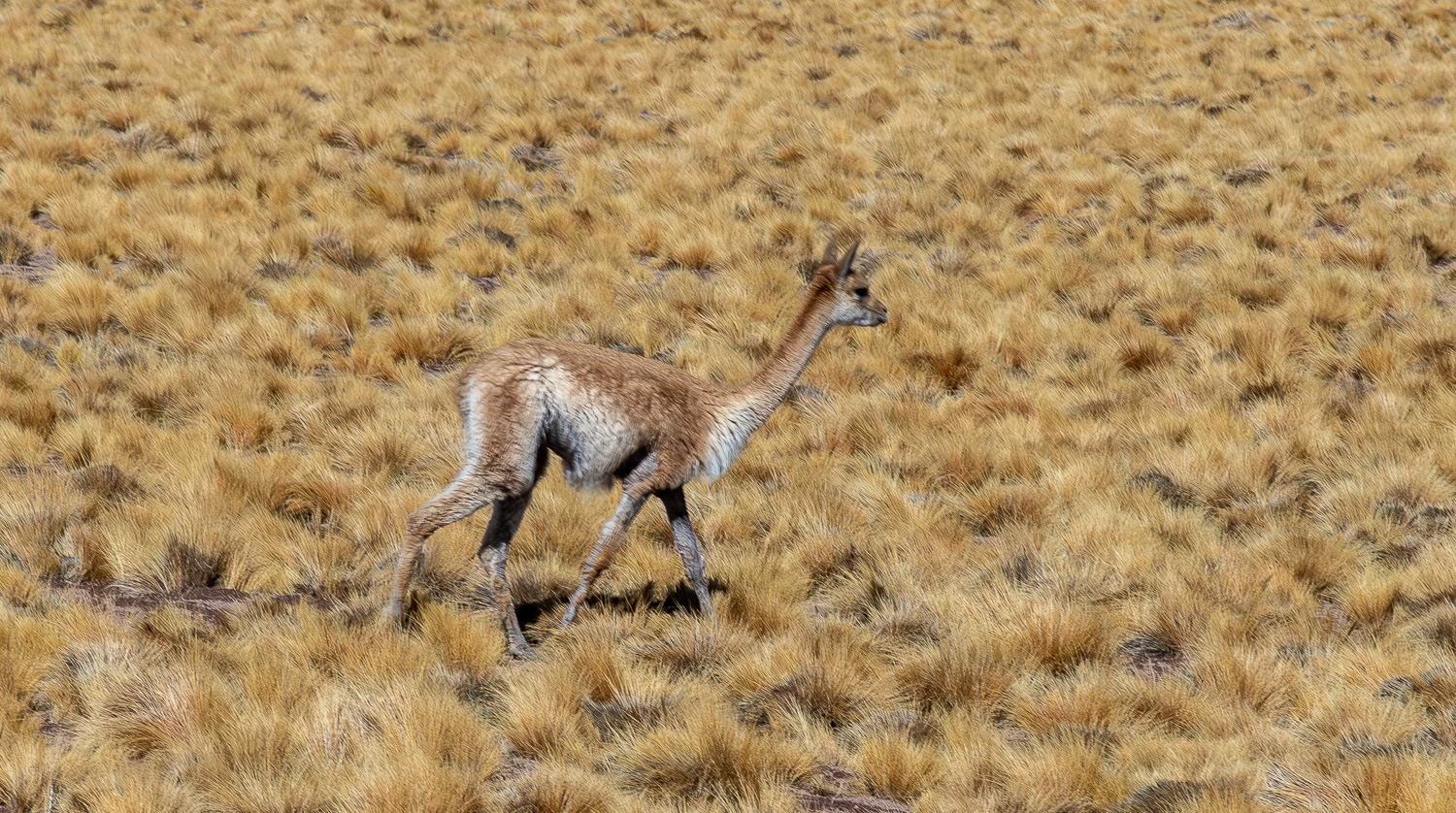 Vicuña are wild and quite common in Chile and Peru. They are related to Llamas and Alpaca, which are domesticated
 Someone is enjoying the views of the Miscanti Lagoon!
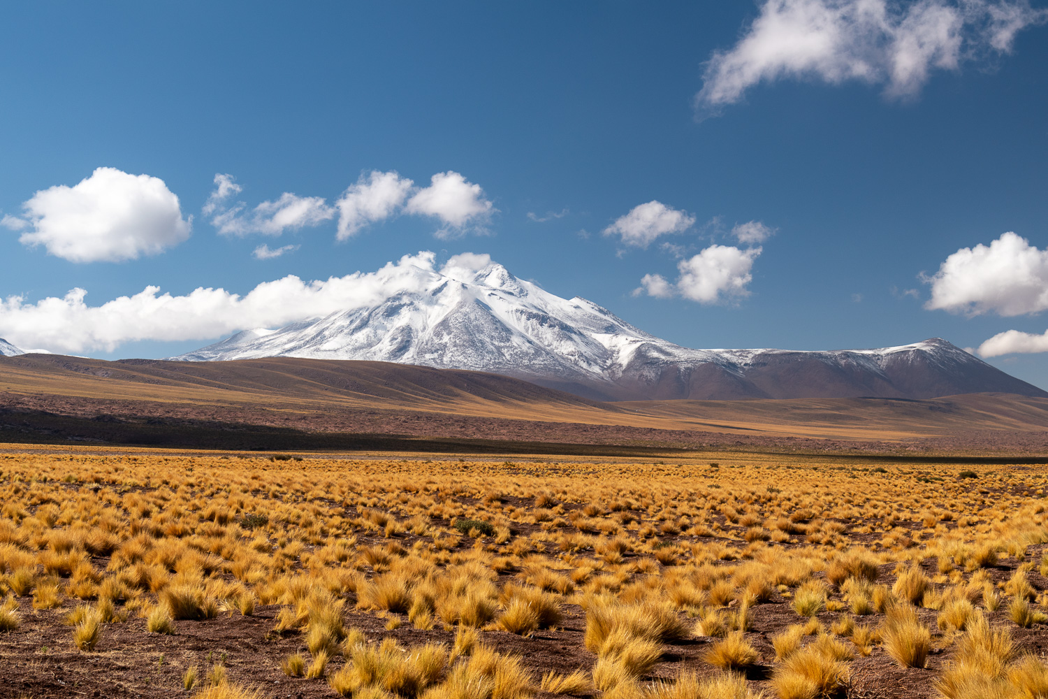
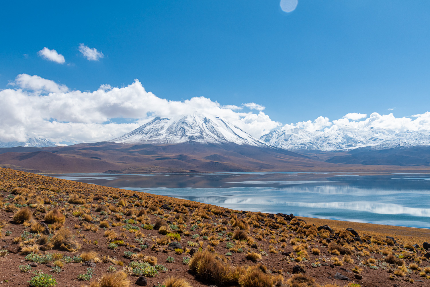 The Miscanti Volcano dominates the skyline at the end of the lagoon
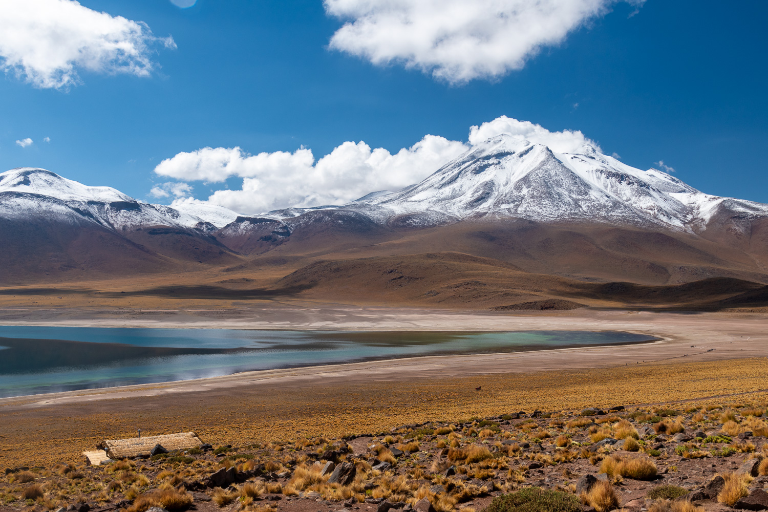 Similarly, at the other end of the Miscanti lagoon the Miñiques Valcono is ever present
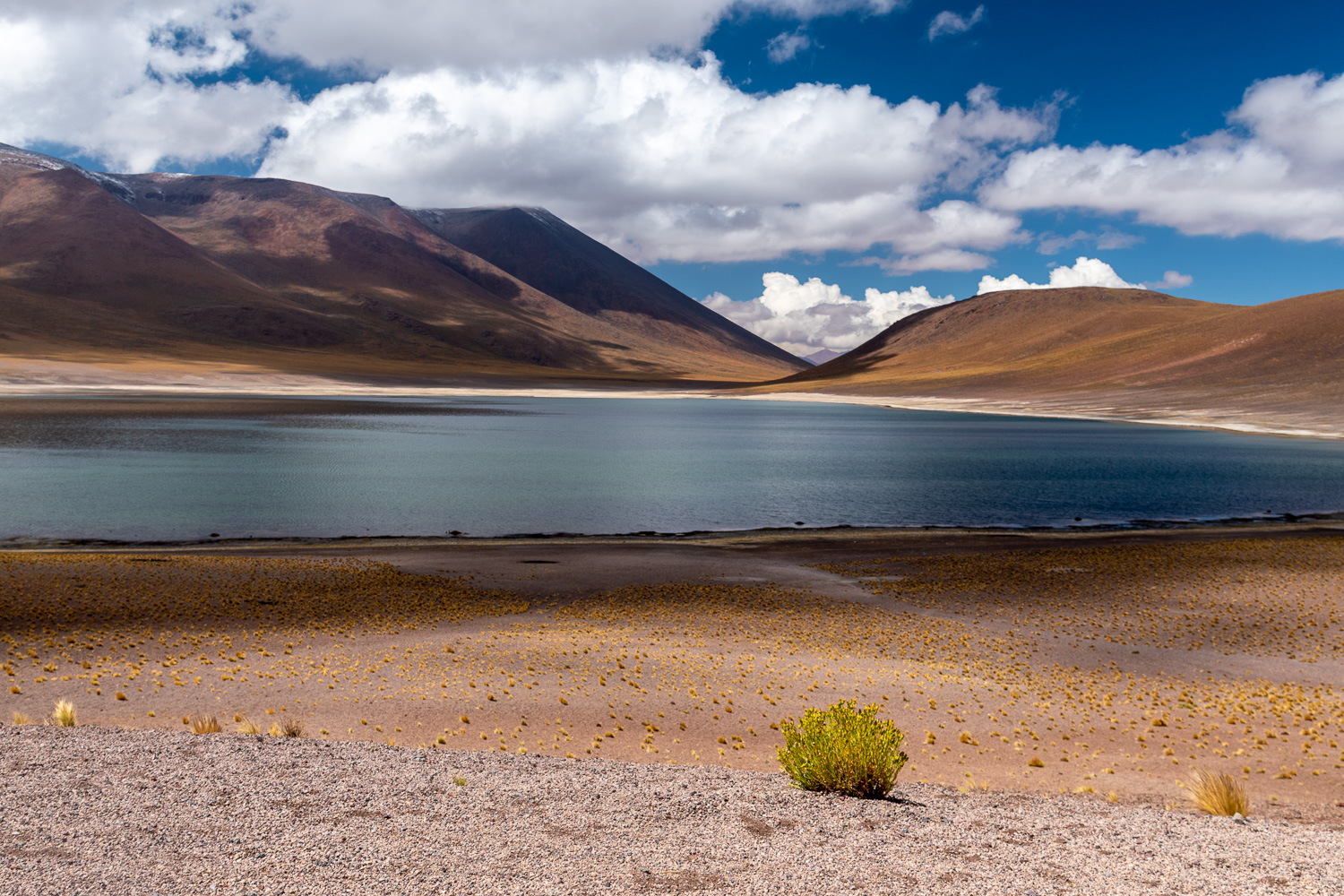 Close by is the smaller sister Miñiques Lagoon
 A herd of Vicuña graze at the end of the lagoon
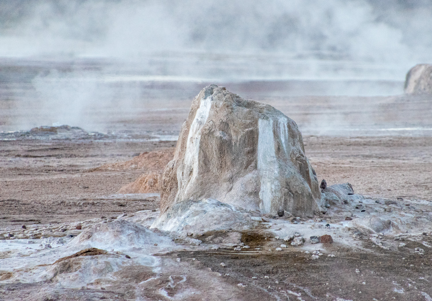
After a 5am and a 90-minute bumpy drive we arrived at El Tatio Geysers. At 14,000 feet above sea level, these are some of the highest geysers in the world, and the water and steam jets create an incredible sight in the early morning light. When we arrived it was 2 DegC, a vast difference to San Pedro de Atacama, where the typical temperature at sunrise is around 15 DegC. In contrast the typical temperature of the water in the geysers is 85 DegC.
 White silica sinter deposits form around the geysers
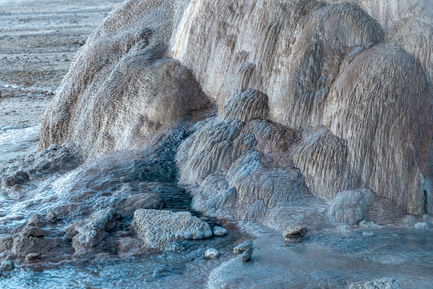 Over time these deposits build up to form some interesting structures
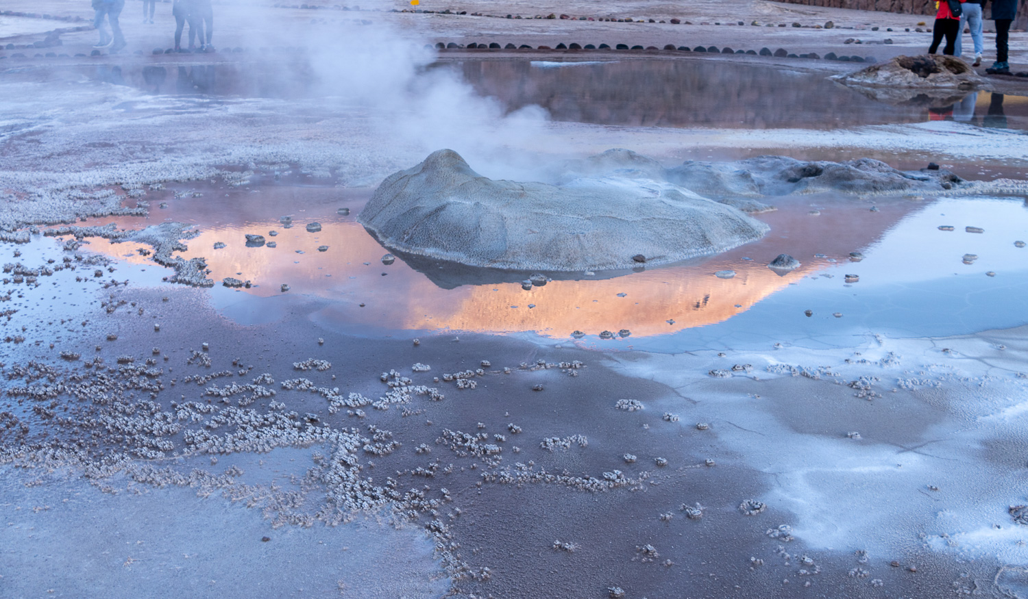 Early morning sunlight reflected in the hot water pool
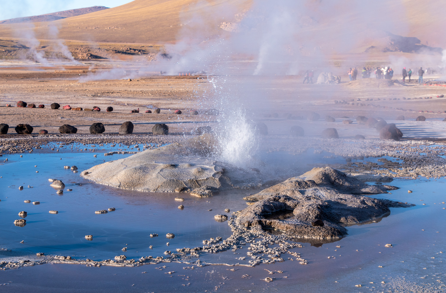 A Geyser erupting
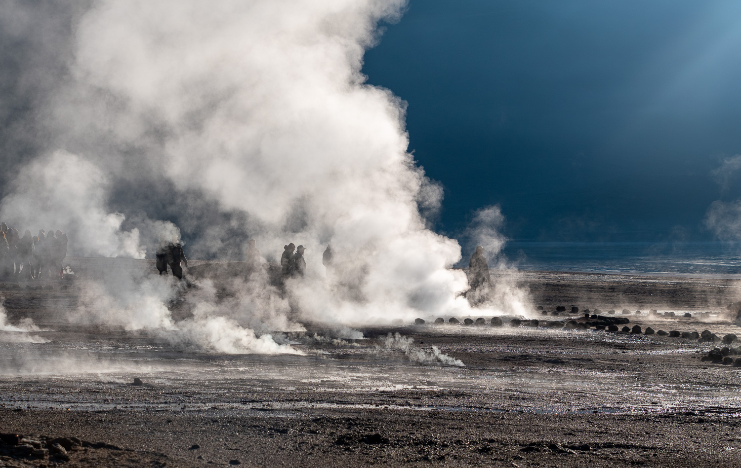 As the sun finally rises above the mountains, it back lights the steam
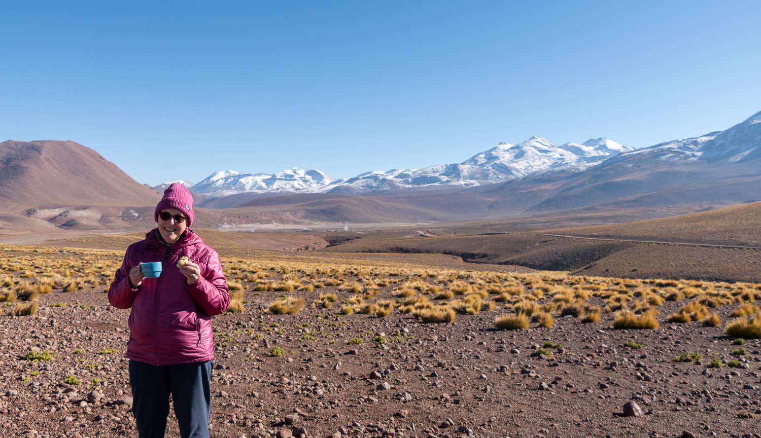
 We then left the park and travelled a short distance across the Altiplano for an outdoor breakfast, prepared by the guides
 With a backdrop of mountains and EL Tatio, this is one of the most amazing places we have ever had breakfast!
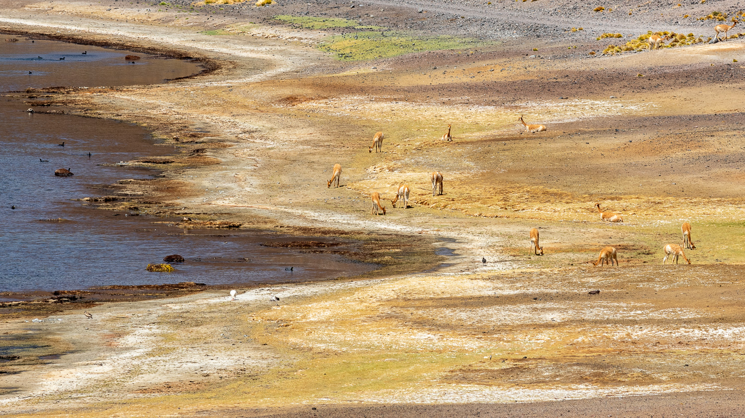
We then stopped briefly at the Putana Wetlands, which is created by water running off the mountains in to underground streams.
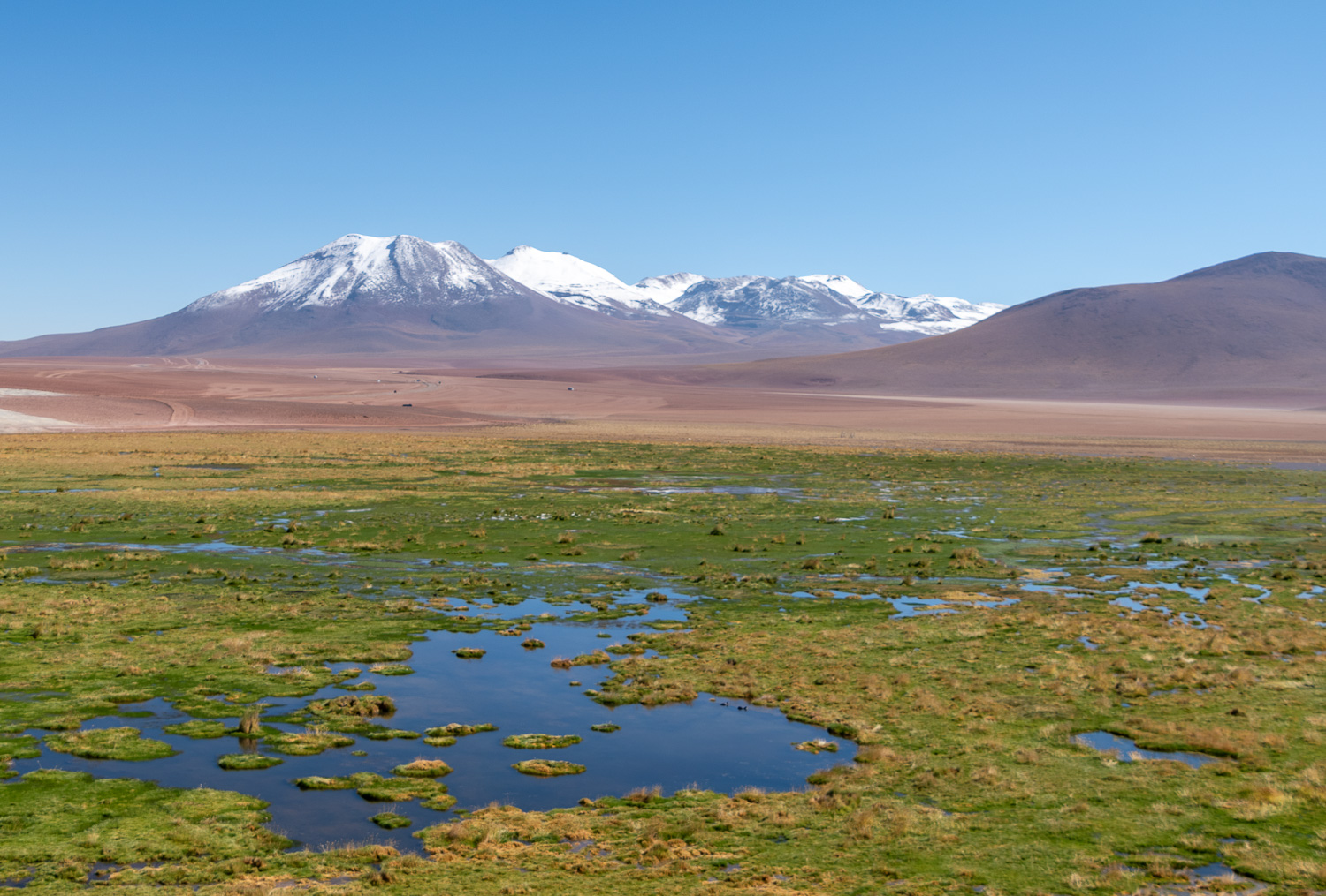 Putana Wetlands
 On the edge of the wetlands was a Mother Vicuña and her two cria (youngsters)
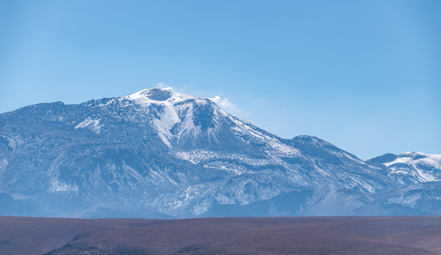 The wetlands were given their name from the active Putana Volcano. Fumarolic activity (steam) can be seen coming from its peak.
Finally we visited Lago Machuca, where more Andean Flamingoes were feeding in the salty water.
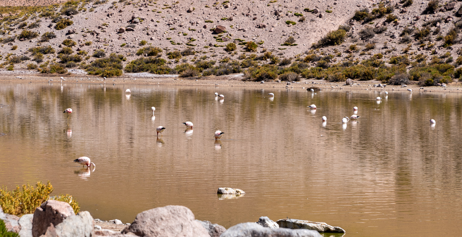 Lago Machuca
 Having a stretch on the shoreline
 Coming into land, trying to avoid the deep feeding friend!
 Nearby, we spotted a Viscacha, a small rodent related to the Chinchilla
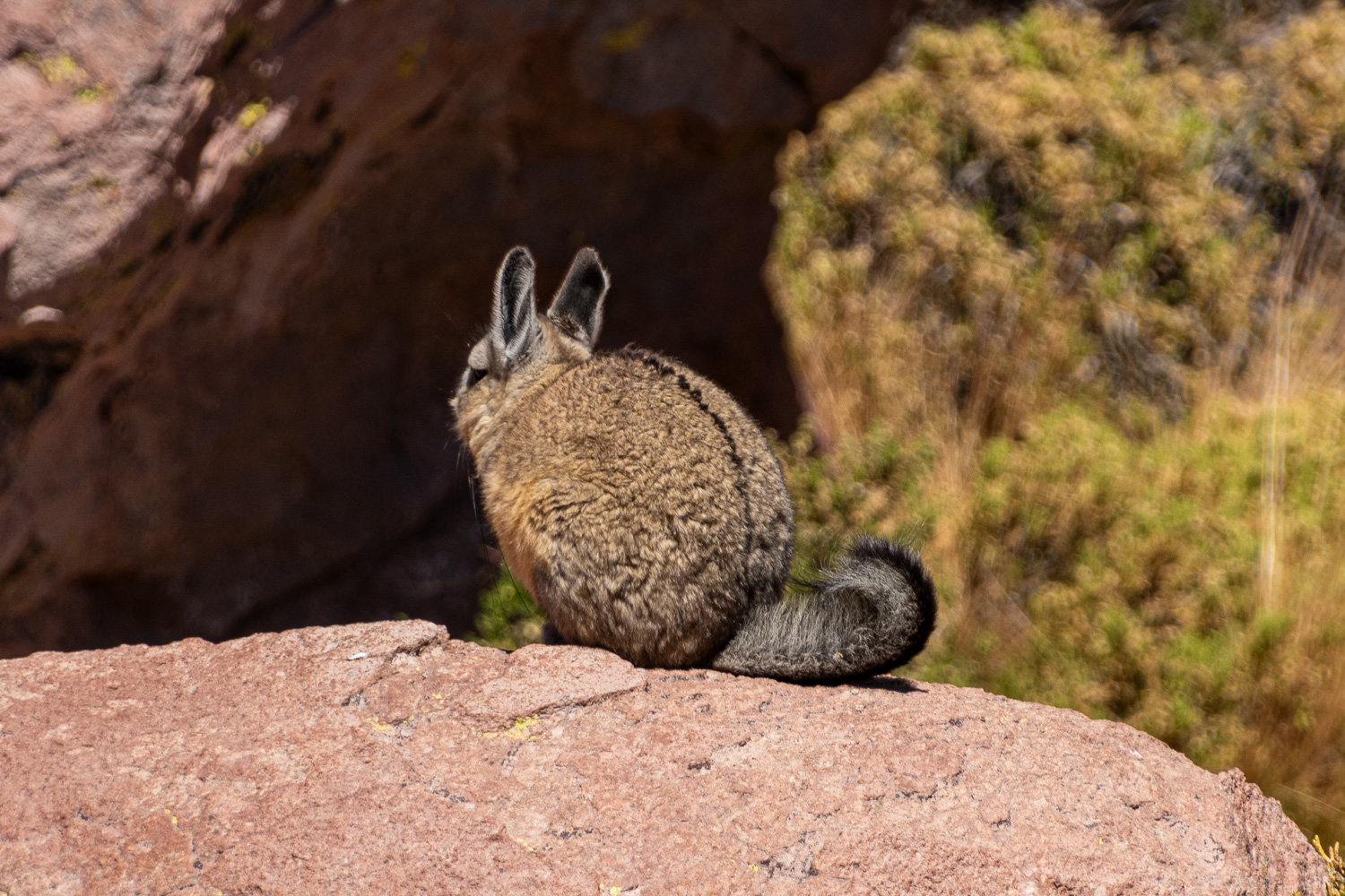
